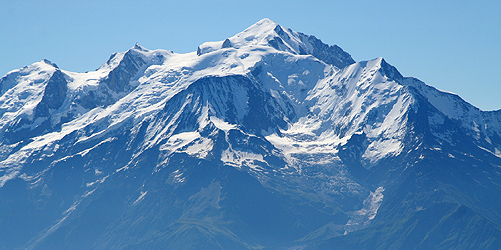
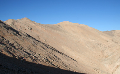
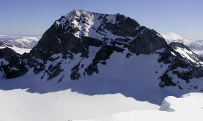
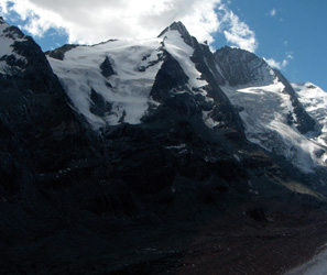
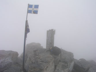
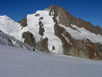
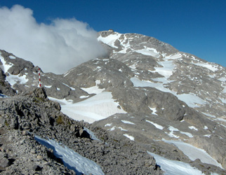
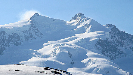
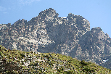
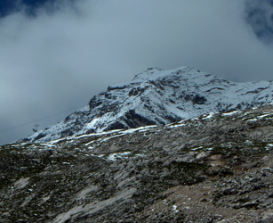
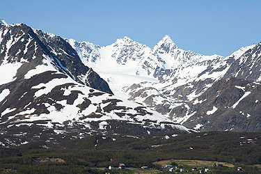
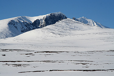
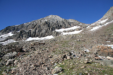
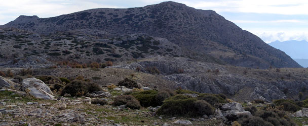
Jiehkkevarri
- Elevation: 1833 m
- Primary factor: 1740 m
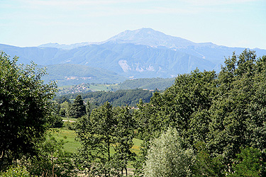
- General: Highest on the Lyngen penisula, Troms, Norway
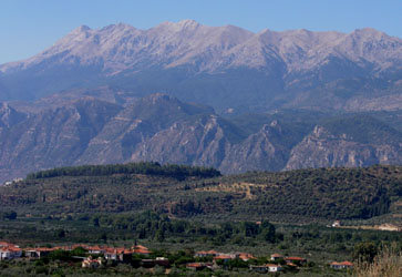
- Location: Lyngen penisula, Troms, Northern Norway
- Location: North 69�28'08", East 19�52'34" (UTM: 34, 456073 +7707088)
- Closest higher mountain: Storsteinfjellet 1894 m.
- Saddle: Near Øvergård, 93 m.
- Saddle location, WGS: North 69:11:49, East 019:45:00 (UTM: Zone 34, N7676854, E450464)
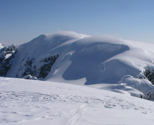
- Comment: The summit has a permanent snow/ice cover. Actual elevation may differ a
bit from year to year.
- Nearest main airport: Tromsø
- Nearest town: Tromsø
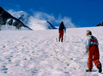
- Difficulty: YDS class 2
- More info: (access, routes, picture)
|
|