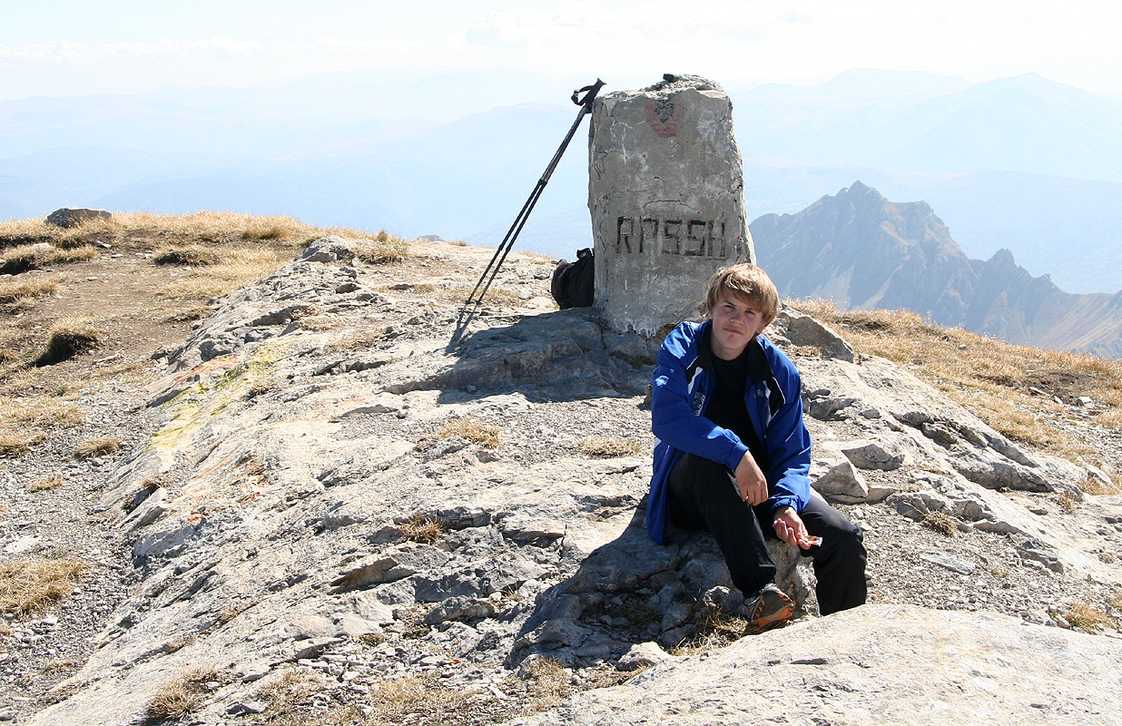
Korab
- Korab
- 2764 m.
- Primary factor: 2169 m.
- Location: Albania, on the border to Macedonia.
- Location: North 41:47.416, East 020:32.803 (GPS at the summit)
- Difficulty: YDS class 2.
- Climbed October 2. 2007.
Korab
|
|
How to get there:
From Tirana (or the airport), drive to the village of Peshkopi.
This is quite a long drive, but on paved roads.
The description below assumes that you start out from hotel Korabi in
Peshkopi. (Address: President Astrit Ademi, Peshkopi, Albania. Phone: +355-218-2481,
+355-0682070107.)
If you drive through town, then measure from the intersection
as described below.(But you go straight ahead in this case.)
The following description giving both kilometer and approximate driving
times should be helpful when navigating to the trailhead.
| Km | Time | Action | |
| 0.0 | 0:00 | Drive down the (tree lined) main street in Peshkopi. You will arrive at the intersection between Lavazh and Pervis Maksuti, turn right here. | |
| 2.8 | 0:06 | Turn sharply right off the paved road. Look carefully for this turnoff, it is easy to miss, you are going downhill. | |
| 6.8 | 0:13 | Keep right. | |
| 21.0 | 0:41 | You pass a monument, go straight. | |
| 29.0 | 1:00 | You cross the river on a long bridge. The road now climbs on the other side. | |
| 33.7 | 1:14 | Turn sharply right. This is the second road going right in a short stretch. You should be in an uphill. You will likely need to go forward and in reverse in order to make the turn. | |
| 37.3 | 1:23 | You arrive at the trailhead, pull up on the right side of a building. Ask permission to park. Your location is: N41:48.832, E020:29.328, 1278 m. | |
You may also arrive from the village of Kukes located north of
Peshkopi. Follow signs to Peshkopi out of Kukes, the first 15 kilometer is
paved. After driving on the dirt road for a while, there is a road fork where
the left fork heads uphill while the right fork goes downhill, there are no
road signs. Take the left fork (uphill). Before descending into the
valley below Radomire, you drive through a small village, before the road
starts heading downhill (trees on the sides). Near the bottom of this
hill, you should take a side road left that heads uphill. This is the
last sharp right turn described above.
Route description:
From the trailhead as described above, head uphill on the trail that you
will easily locate on the right side (when facing uphill) of the creek.
This trail heads more or less directly up the hill and is quite wide showing
widespread use. Higher up, the trail crosses a small creek, then continues
more gently uphill across grassy fields.
Above this, there is a more distinct,
somewhat steeper section, the trail is still big and easy to find/follow. When you
emerge into more gentle terrain, the trail now crosses a creek (to the left) before
heading up along a fairly distinct moraine type ridge. This ridge will lead you
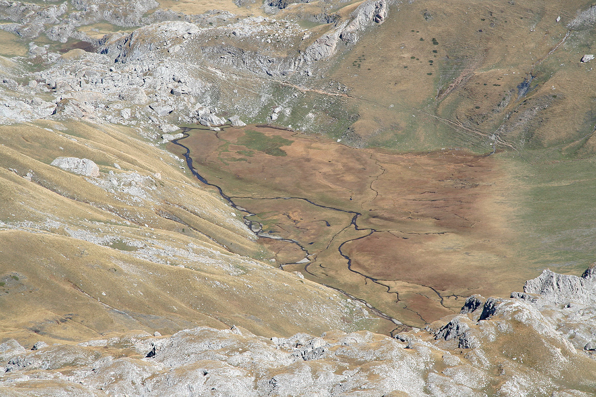
up on a fairly small, but flat plateau, there is a small lake up in this area.
Proceeding, you have a shallow basin on
your left. The trail contours around this
on the right side and heads left towards a very recognizable, large boulder. Beyond
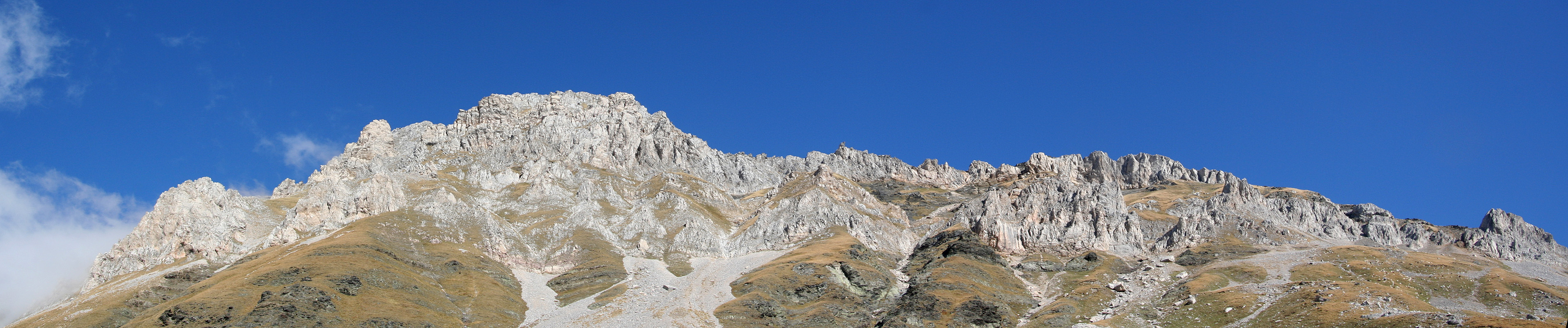
this, the trail again climbs more steeply before entering a fairly large and more
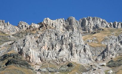
flat mountain valley that continues ahead. Korab is up on your left side. The best
way to proceed is to aim for the hoizon just right of the last big rock that can
be seen along the top ridge when viewed from south to north (generally spoken).
When you reach this point, contour around and hike the last, easy slope to
the summit. This part is marked by red paint (often in the shape of a ring).
The last grassy ridge is easy to follow and quite soon you are at the top.
For completeness, we provide GPS coordinates and approximate hiking times for
the route we followed in the table below:
| GPS coordinates and elevation | Time | Location | |
| N41:48.832, E020:29.328, 1278 m. | 0:00 | The trailhead. | |
| N41:48.221, E020:31.023, 1798 m. | 0:50 | On a moraine type ridge. | |
| N41:47.669, E020:31.962, 2122 m. | 1:30 | Top of hill before flat area. | |
| N41:47.378, E020:32.435, 2360 m. | 2:04 | Waypoint on the route. | |
| N41:47.280, E020:32.687, 2579 m. | 2:27 | Waypoint on the route. | |
| N41:47.416, E020:32.803, 2764 m. | 2:45 | Summit. | |
Trip Report / Comments:
October 2.
We started pretty early from Kukes and knew that the road to Radomire could
take time and be quite rough. After all, this was really the only road I had
read a warning about beforehand. With our recent experience concerning the
quality of roads I prepared mentally for the worst.
Things turned out better than feared. The main problem being a complete absence
of roadsigns. On the way to Radomire, there was one intersection that clearly
was critical and the roadmap provided no clues. We considered the situation and decided
to wait and then flag down a vehicle we saw coming down the hill. They were quite helpful
and confirmed that uphill was indeed the proper choice at this point.
We arrived at the trailhead shortly after 0900, prepared and got organized, then set out
at 0945.
We had only walked uphill about 5 minutes before being ambushed by an aggressive dog.
This dog was big and seemed pretty fearless. I had brought my trekking poles along and
quickly used one as a defensive measure. The dog took a determined bite around the pole,
but did not succeed to cut it. Rather a hard thing to bite. That bought us some time and we
got on the uphill side. The dog continued to pursue us with deep growls and had to be kept
at a distance below me by active use of my poles. Finally, when we crossed a creek higher
up, it decided that we had been chased far enough from its territory.
The trail description I had read, explained a route that would ascend the mountain
via a mountain valley, then a somewhat higher laying basin to the north and east of the
peak. That is, the peak should eventually appear up on the climber's right hand side.
We made rapid progress, but the description and the terrain did not quite match. My first
slight worry was the starting elevation of the first valley, it seemed higher than on the
map. Next, this valley did not curve and seemed too short. A theory that we had arrived sort of
in the middle was quickly conceived (It is interesting how one often tries to make things
match, while resisting the more radical conclusion that one really is in a totally different
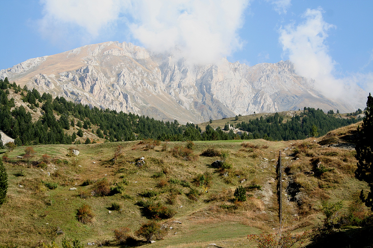
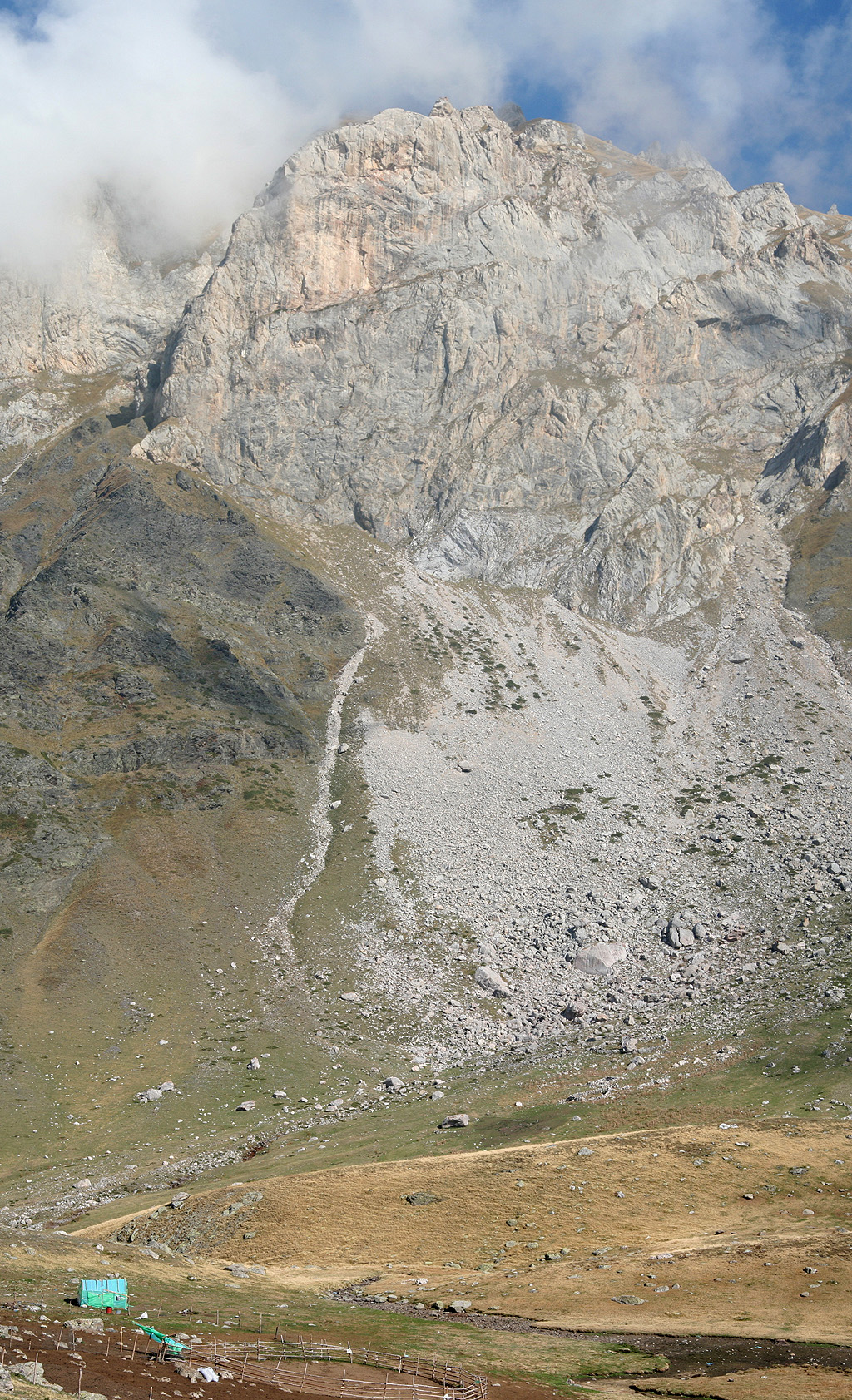
location.) Things looked more correct higher up, another slope got us to a higher laying
basin and a very high mountain
finally appeared on our right hand side. Here, we met two
shepherds and they quickly pointed out that Korabi was indeed high up on our left side, quite
opposite of what should have been expected from the route. The explanation was simple,
we had never been anywhere close to the intended route, but ascended the valley on the
south side of the mountain instead of that on the north side.
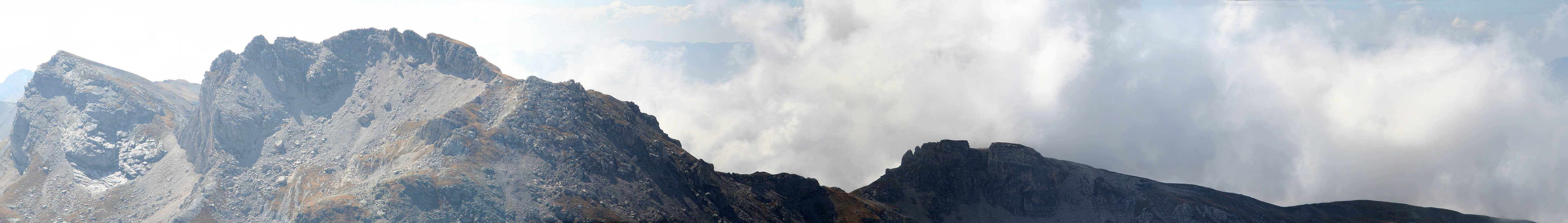
Good to know, it was pretty obvious how to complete the climb also from this side. An ascending
traverse arriving at the horizon ridge just right of the last cliff seemed pretty optimal. This turned
out to work well and already at 1230 could we sit down and
rest by the summit marker. Less than three
hours, mainly along trails, the ascent of this mountain is indeed quite straightforward.
This summit is the national highpoint of two European countries, Macedonia and Albania, are there any
other such case in Europe? I guess one could debate the Italy - Switzerland case.
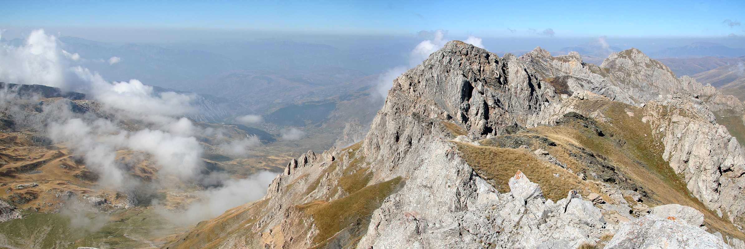
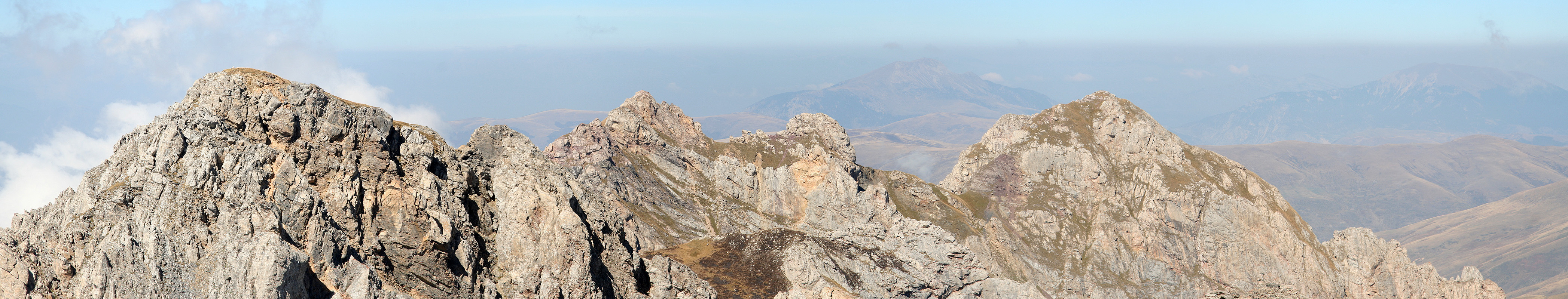
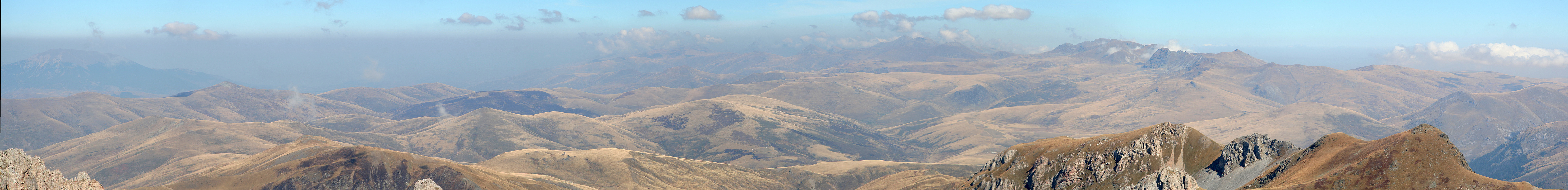
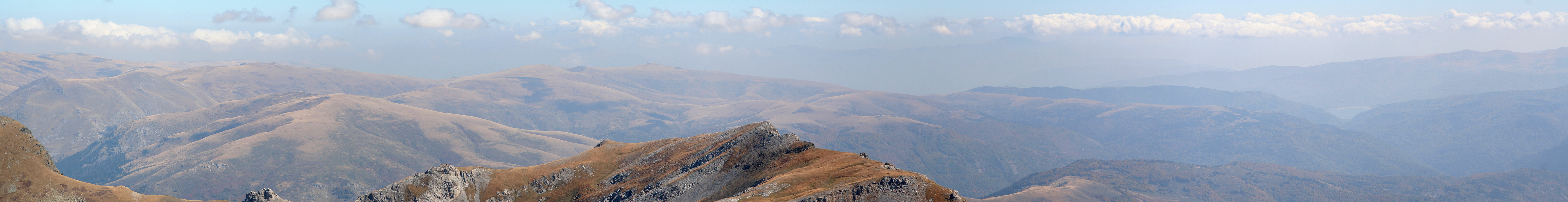
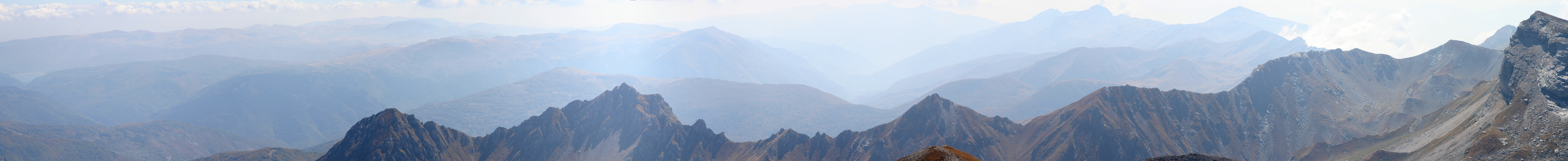
We enjoyed the
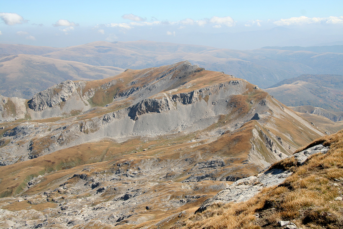
panoramic view, unfortunately, as often is the case, the long distance views got obscured by haze.
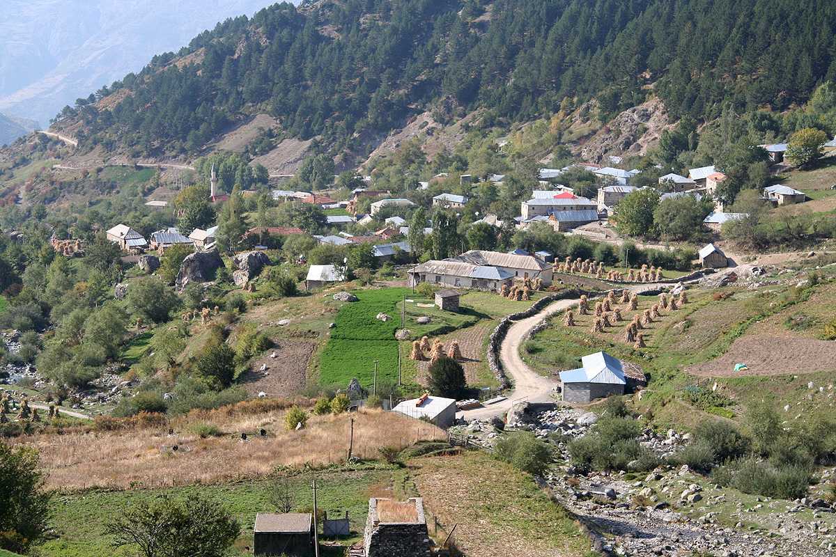
We could see back down to the main valley and the village of Radomire.
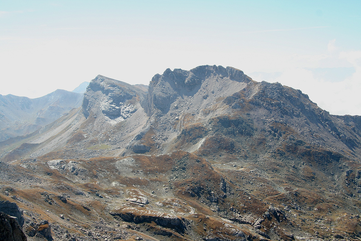
Almost everything around us looked clearly lower, including the cairned peak further out (that is closer to
Radomire) on the main, rugged ridge where Korab is the highest point.
That peak has an elevation only 35 meter lower according to our (Russian) map.
The only peak that was difficult to
judge was the one we originally had set our eyes on (for the wrong reason). The peak that is numbered no. 5,
Korab being no. 4, also a border peak
that looked high when compared with the horizon as well as with nearby peaks.
The Russian map is rather bad in that area, leaving out the contours.
It would be interesting to know its official elevation. I would believe that it also certainly exceeds 2700 meter.
We relaxed and enjoyed the good weather, gazing far into Macedonia
for another 30 minutes before heading down.
Half way down the first, somewhat steeper slope, we were approached by two big, growling dogs - same kind as the
one earlier, but now two. Hmmm. these dogs may constitute a problem for some hikers, at least this is a problem
that one should be aware of. We tried to descend a bit to circumvent, however, that did not look too promising.
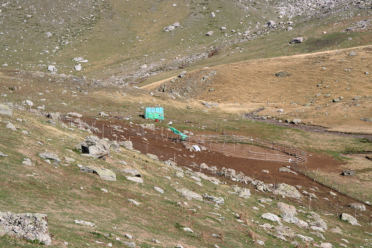
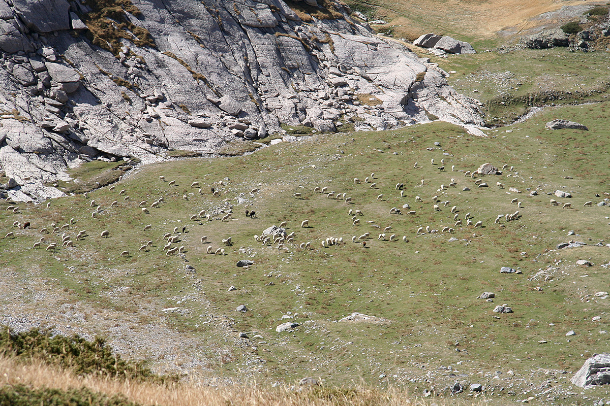
There are sheep everywhere, not only
on the flat area and these dogs are trained to protect them.
Fortunately, we caught sight of the shepherd, and decided to traverse quickly directly across to him.
This is the best technique, as the dogs stop their aggressive behavior if they understand that we are
friends with the shepherd.
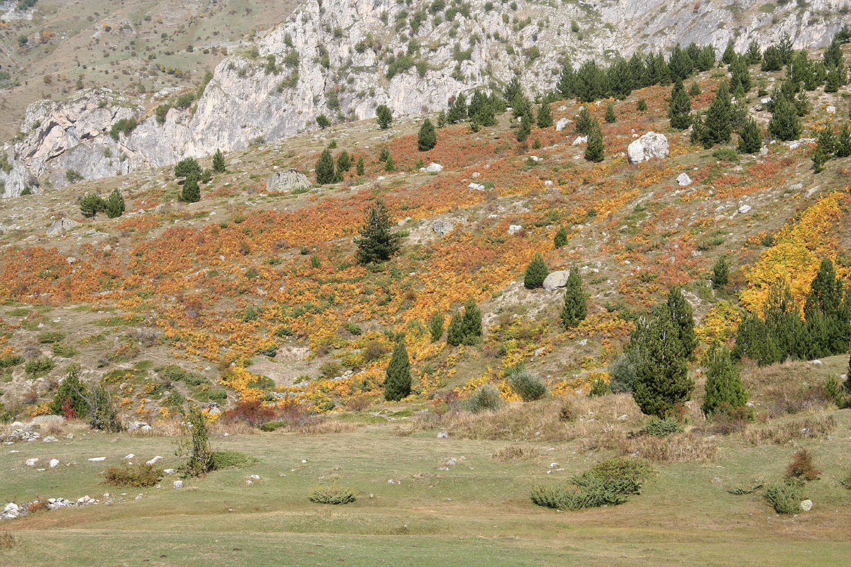
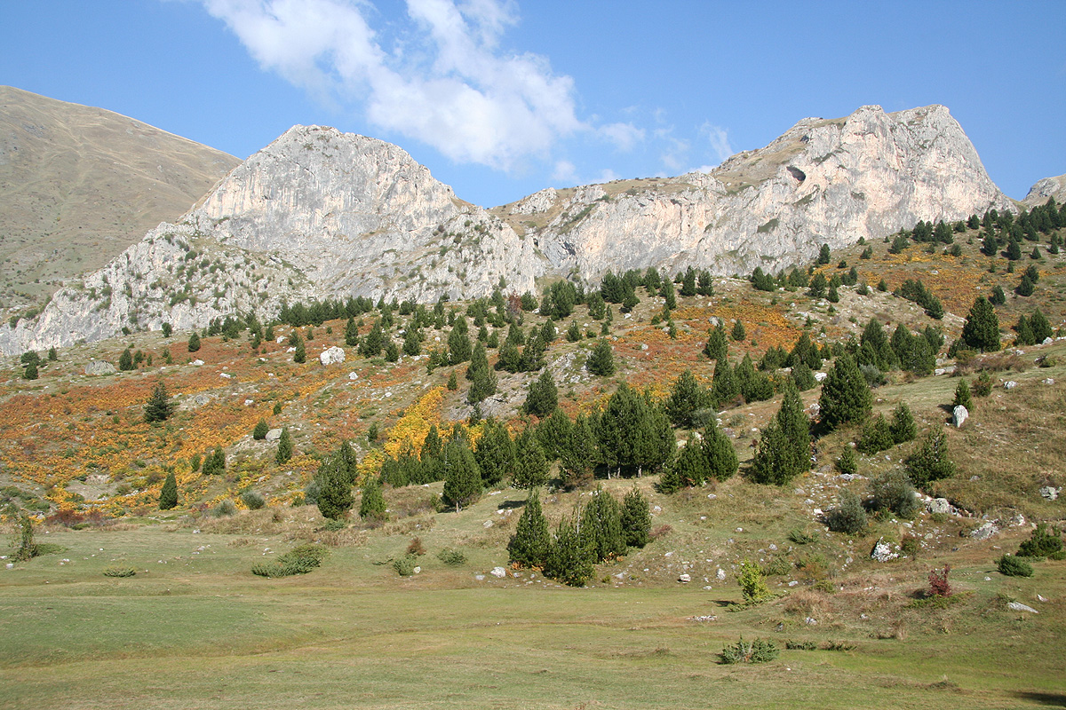
The rest of the return hike went smoothly, the fall colors
had really arrived and the combination
of local rock formations with
the brown and red colors around made an excellent experience. Only when we were
almost back, did Pål Jørgen remind me that we potentially had one more dog to deal with.
Sure enough, he was just at the same spot, but this time with the breeze going from him towards us, appearently
he did not see us. Not until we where about 10 meter away, he then launched an extremely aggressive attack at
absolutely full speed. I stopped and aimed my pole with the result that the sharp end as well as the entire lower
end of the pole went straight into his mouth. He came to a sudden halt and decided that the attack was perhaps
a bit of an overreaction. We had no further trouble with him.
We reached the car 2 hours after leaving the summit. A very nice and completely successful day.
We had decided to find a hotel in Peshkopi, the drive there was quite straightforward, a nice dinner, then
a good long night of sleep.
This trip now continued to Valamara.