Location: North 01.23986, East 036.61255 (GPS on the summit)
Difficulty: YDS class 1
Climbed February 17. 2020.
Information:
How to get there:
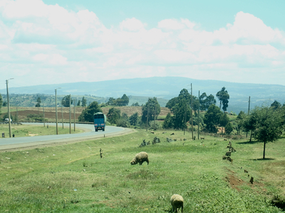
On Hwy. A104, locate the point S0.14450, E35.68536. A small dirt road
forks north here. This is about 54 kilometer north of Nakuru.
Route description:
Drive this road as it curves around (left) a small depression to gain a ridge on the north side.
Follow the road more uphill (right) here and
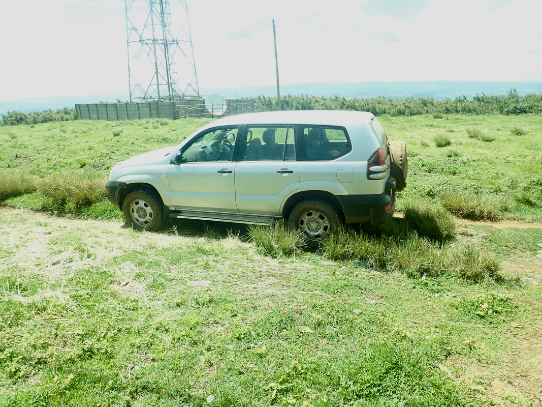
drive all the way to the top. You need a 4 wheel drive
to drive this road.
There were several quite rough spots.
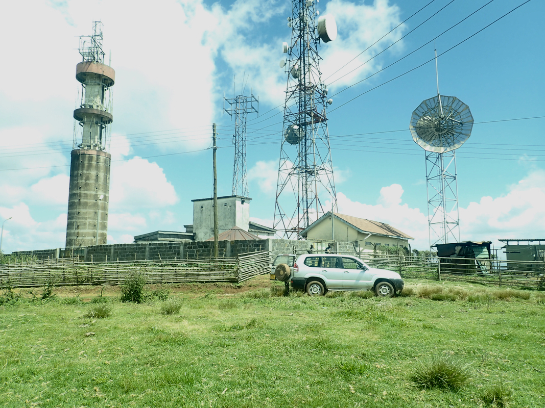
There are antennas
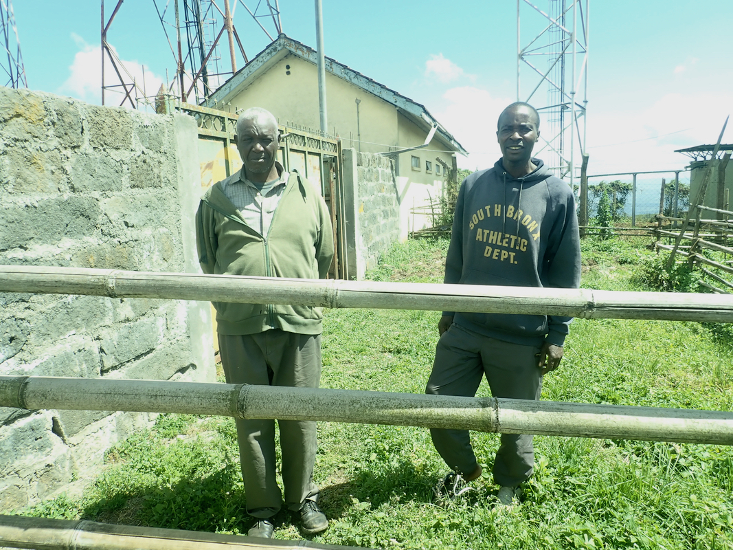
and some radars on the top. A crew
is stationed up there to look after the insatllations. They informed us that
the area was "prohibited", otherwise they were quite friendly and had no
objections to our visit.
Comments:
The previous part of this trip report decribes our visit to Timboroa.
We drove the road all the way to the summit. It was pretty bad in several
places and care is needed when driving.
The guards at the summit were quite
friendly. We had a nice chat before returning back down gto highway
A-104.
This trip report continues with Menengai.