Location: North 00.01316, East 035.52188 (GPS on the summit)
Difficulty: YDS class 1
Climbed February 17. 2020.
Information:
How to get there:
Locate the town of Nakuru on Hwy. A-104. Drive 84 kilometer north
on this highway (A-104). There is a fork left at this location, the place
is called Mama Joy.
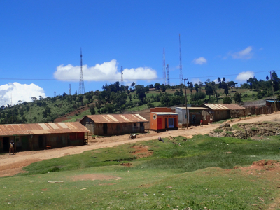
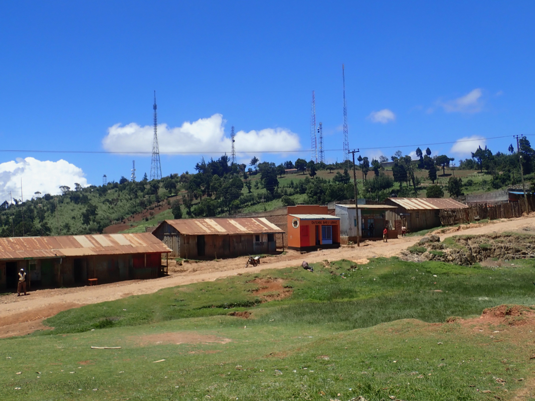
You will see the hill less than
one kilometer away. There is
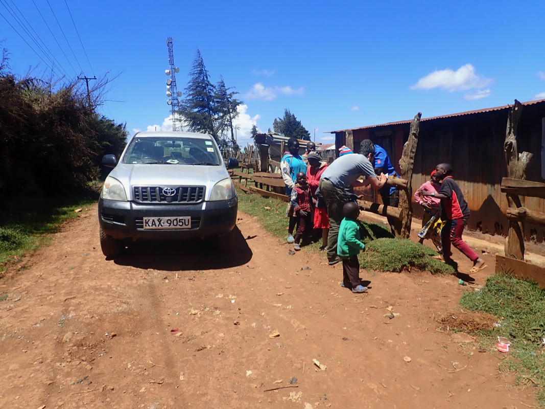
a rough, 4WD road that serves this hill, several large antennas are also
located on the top.
Route description:
Walk or drive the road that runs up to the top. One may continue past the
antennas and then drive back on the far side. The area near the summit
is pretty flat. The summit is near location
N00.01316, E035.52188, the elevation is slightly higher than 2900 meter.
Comments:
The previous section in this report describers our ascent
of Mubiyi.
We visited this summit while driving from the Uganda border towards
Nairobi. Several people live right next to the antennas.
This trip report continues with Londiani.