Location: South 00.23072, East 036.09342 (GPS on the summit)
Difficulty: YDS class 1
Climbed February 18. 2020.
Information:
How to get there:
This viewpoint is located directly north of
the town Nakura. The distance is about 6 kilometer, the road is
dirt, but not terribly bad.
Route description:
This is a drive-up mountain.
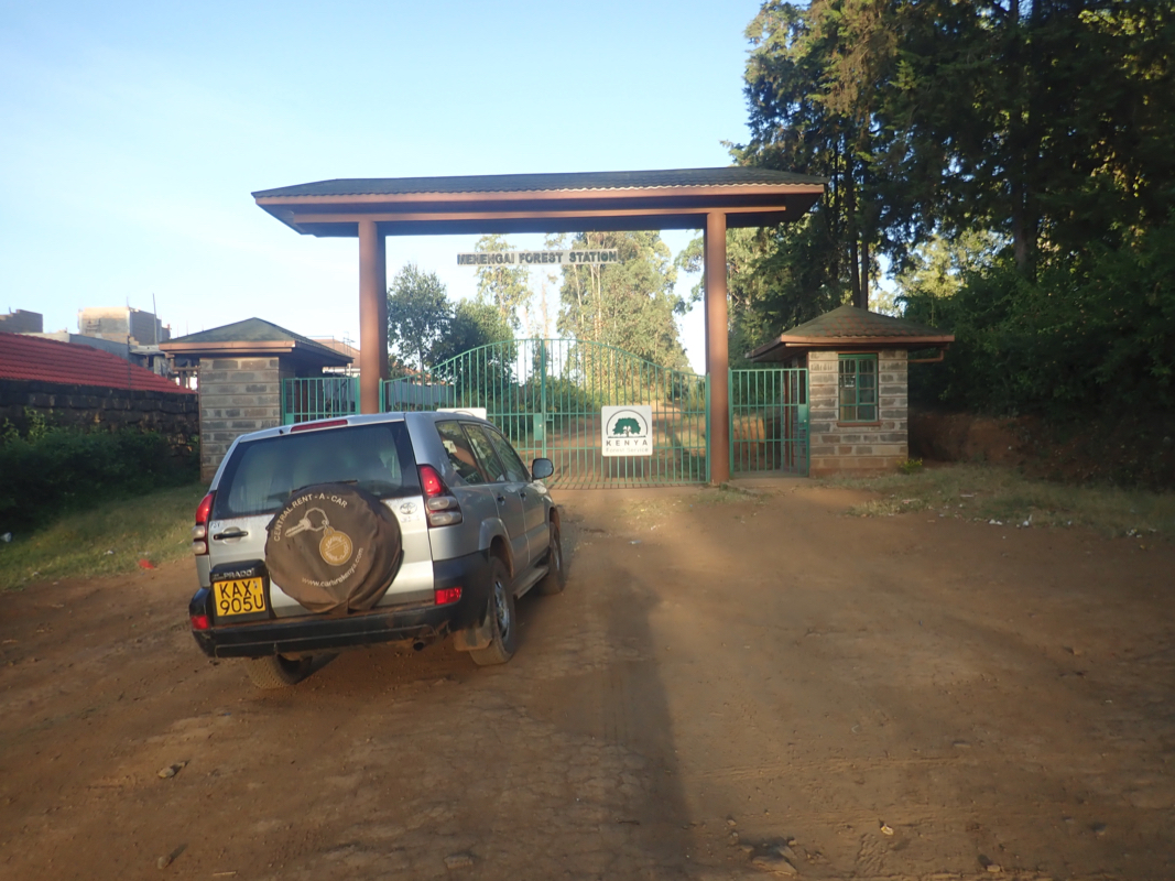
You do get to a gate and they (2020) collect about USD 7. in
admission fee.
Comments:
This report continues from Londiani.
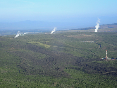
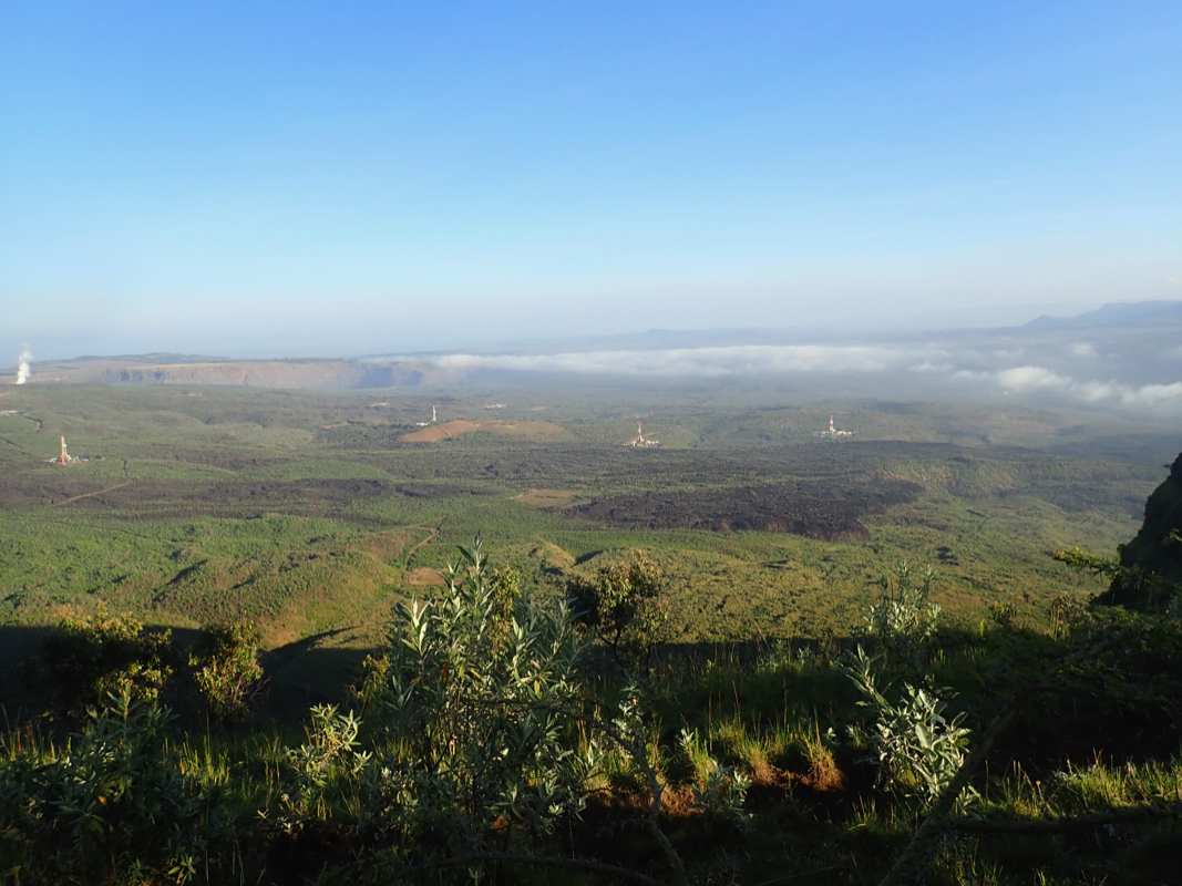
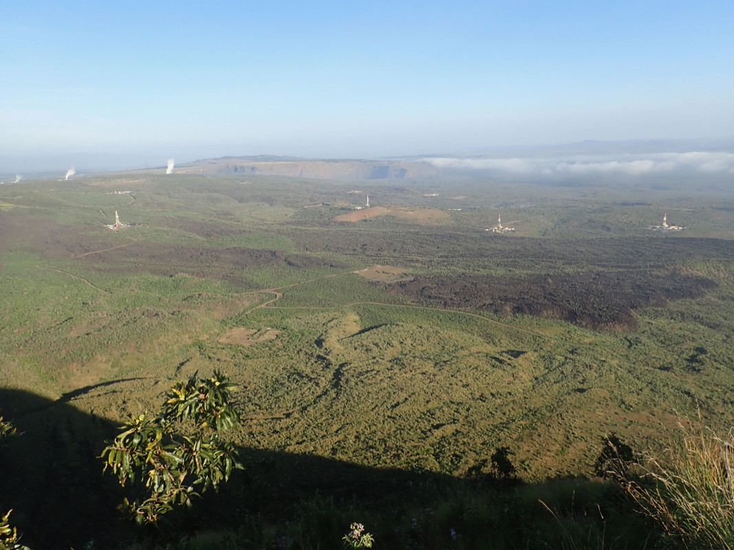
Menengai is a massive shield volcano with the largest caldera in Kenya.
We woke up on our luxurious hotel, enjoyed a very good breakfast, then
drove up the hill, directly above the hotel.
A gate revealed that they charge
an admission fee to visit this viewpoint. A man scrambled out and collected
the equivalent of about USD 7- from each of us. We drove to the viewpoint and parked
about 100 meter from the location
of the highest point. A very good view
down into the caldera.
:everal power plants showed that geothermal energy can be xtracted here.
We next drove to the tip of the ridge and got a slightly different view, a group of
Masai cows and the green floor far below. However, this was the dy we should fly home
and our main hiking objective was Longonot,about 2-3 hours drive from here.
This trip report completes with Longonot.