How to get there:
This mountain is on the island Otrøya. Easy to reach by ferry from Julneset directly
west from Molde. Continue to Midsund on the west side of the island. There is a rather small
parking area on the uphill side of the road at location N62.67857, E006.67676, elevation near 40 meter.
This is the trailhead. Route:
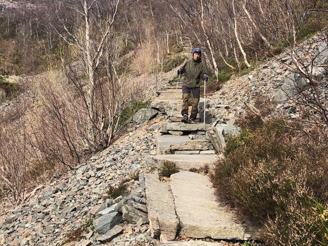
A clearly marked trail heads directly uphill. Soon, this trail turns into steps, a
so called Sherpa stairs. This leads uphill into a small valley. The trail is again
more normal. You will soon reach a trail fork. Straight ahead will be the shortest route.
However, it can be recommended to make a loop hike. First, take the right hand fork. A few more
Sherpa steps will help ascend the steeper part
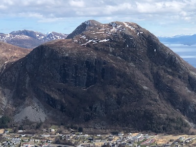
in order to reach a nice view point called
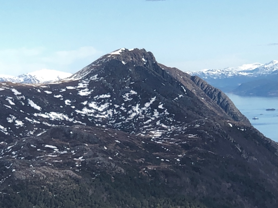
Midsundhornet. From here, ascend Trollhesten (620 m) then descend to the saddle between Trollhesten
and Klausethornet. Finally, ascend easy slopes to the summit of Klausethornet.
The return may be directly down the vally to the top of the Midsund steps or via the small summit
Digergubben. Comments:
I did this climb with my friend Per. We left the car at 1015. Quite a long and impressive
Sherpa staircase. Deciding to make a loop hike, we first made a short stop at the
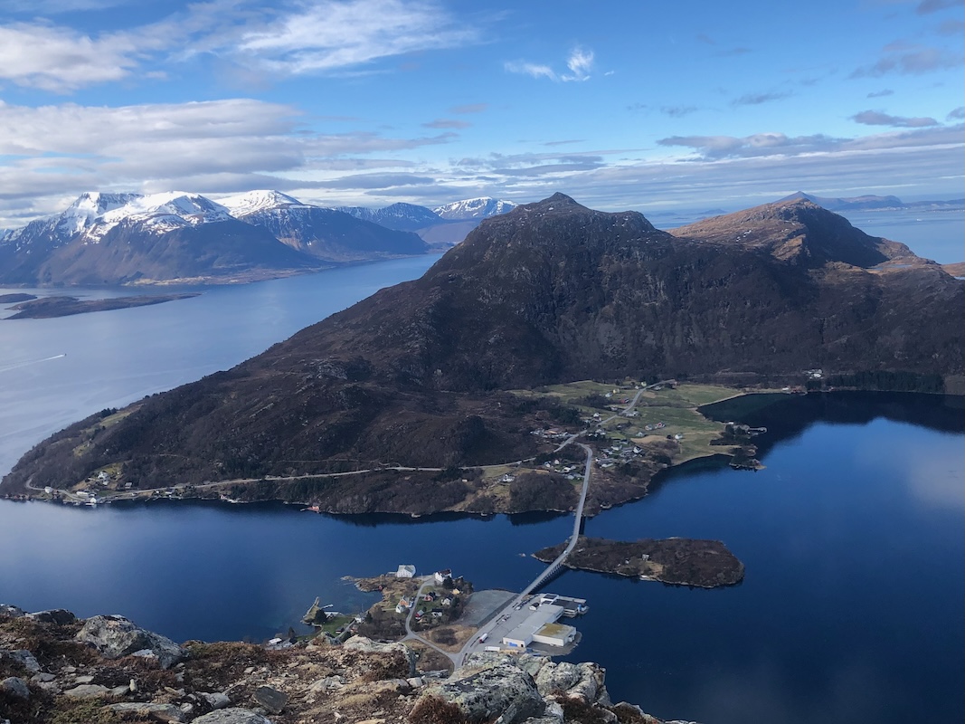
viewpoint Misundhornet, arriving there at 1115.
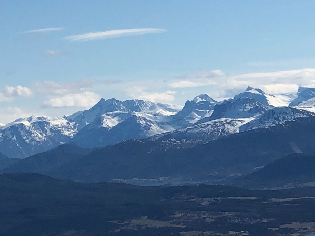
From here, we had a good view west to
Bløkallen, yesterdays destination.
Next, we ascended Trollhesten. There is a small
trail doing this traverse. The upper part of the descent traversed down a fairly steep slope with
snow and slippery grass. Not good today, completely ok when dry. We decided to avoid this and found
an alternate, safer route more to the right. This is recommended when the conditions are less safe
along the normal trail. We ascended Klausethornet a bit on the south side, no trail here, but easy
going. Arrival on top at 1225.
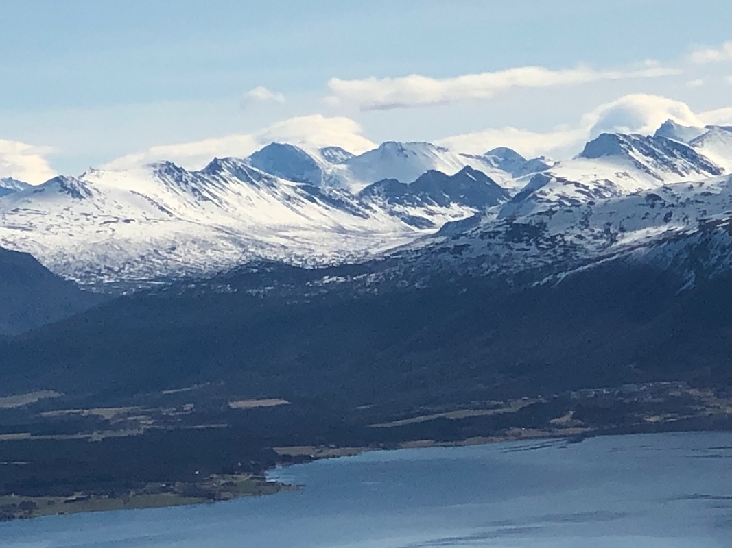
It was a near perfect day. Sunshine, no wind, nice and warm in the sun.
We decided to make a long stop here.
Just sit and enjoy the scenery. The transition from winter to spring that was
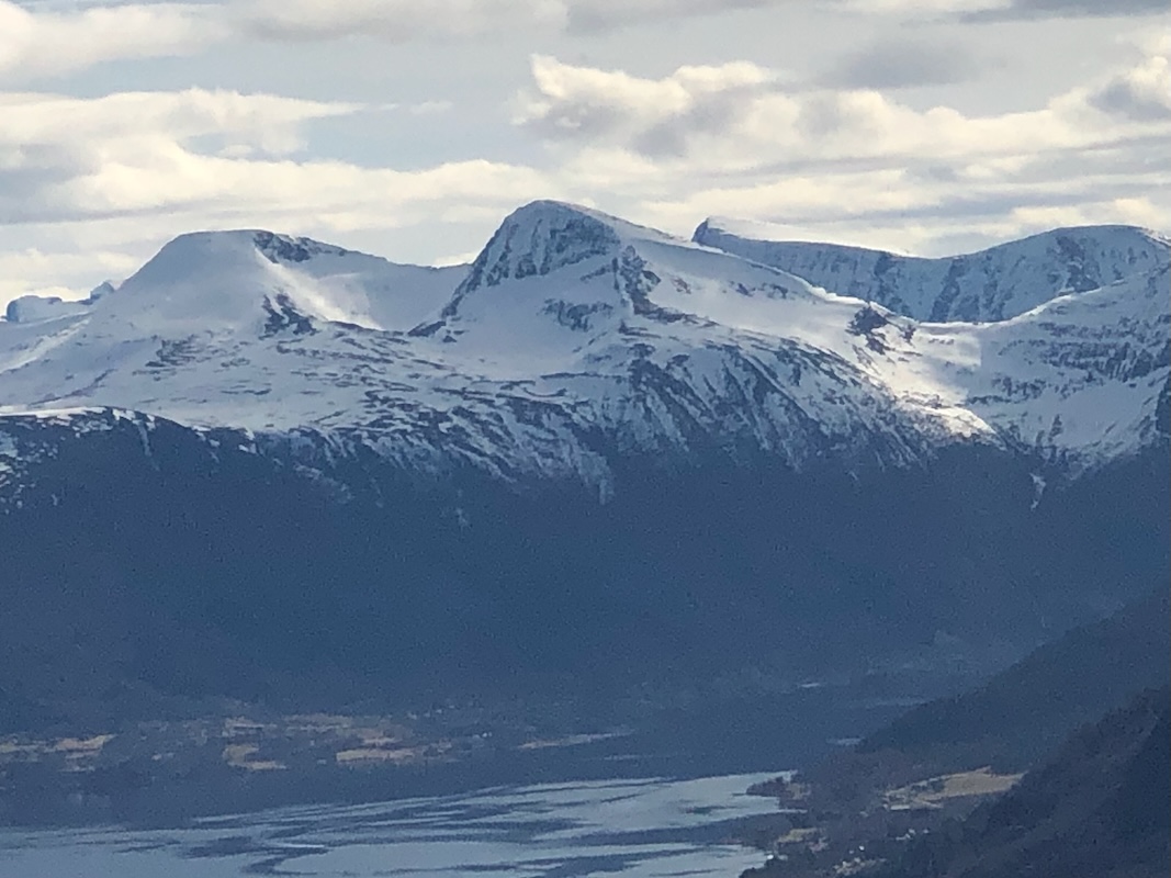
visible everywhere. The highest peak on the island Oppstadhornet,
was clearly visible.
I was there almost exactly 16 years ago. At that time still full winter. The
conditions changes from year to year, this year spring is obviously early.
Finally after 1:20 hours, we were ready to move on.
We descended the normal trail, then forked right and followed a smaller trail across towards
Digergubben. We were there at
1420. Another 10 minute rest for more views and a short rest. We met a single woman hiker
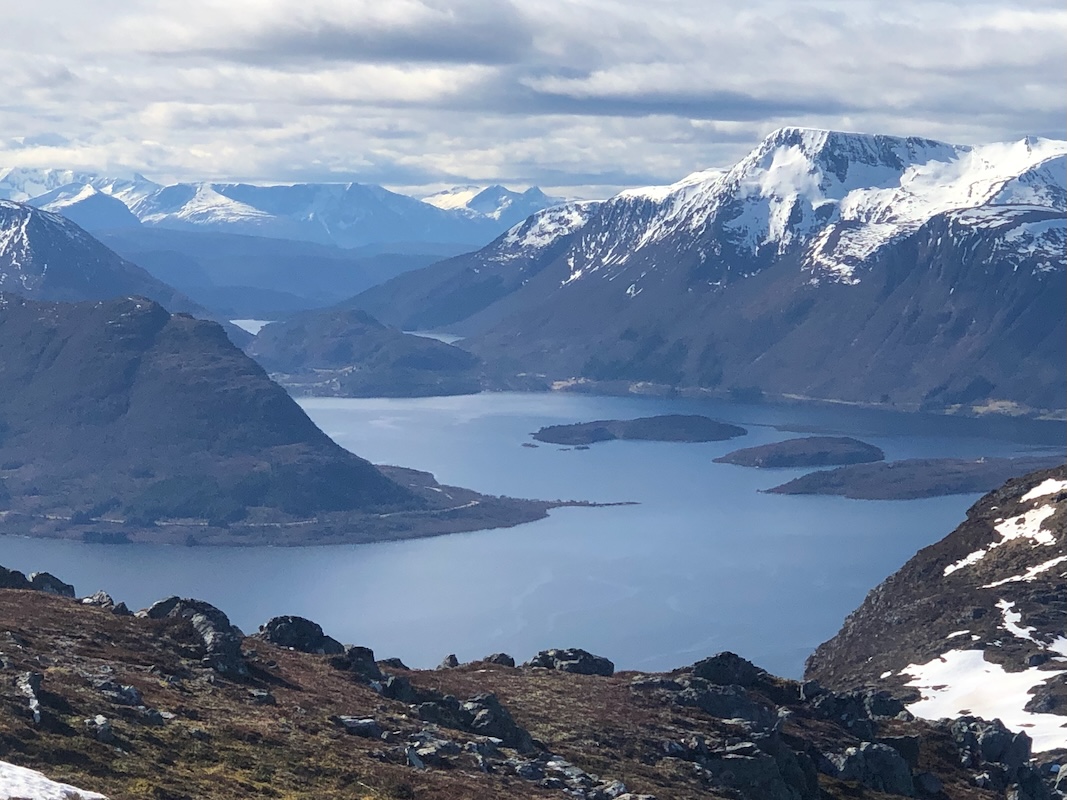
here, the first person seen all day. The return to the top of the Misund stairs was easy.
From here, the view of Misund is quite spectacular.
The descent down the steps went just
fine until near the end. The last few steps took more
time as Per suddenly became less sure footed. We were back at the car by
1545. Thanks to Per for a very nice day that will be long remembered.