Location: North 62:35.223, East 006:32.068 (GPS at the summit)
Climbed April 6, 2008
Difficulty YDS class 2
Information:
How to get there:
Drive from Ålesund north on E-39, then make a left
towards Brattvåg at Hwy. 661 and pass a toll station (NOK 30 in 2006).
Continue to Eidsvik where you make a left onto Hwy. 659 following signs for Brattvåg.
Just north of Brattvåg, you find the ferry that will take you to the island Dryna.
Drive across Dryna, cross on a bridge to Midtøya, continue to a new bridge that connects
to Otrøya. Make a right at the road fork on Otrøya and continue along the
south coast towards the small place named Nord-Heggdal. You can park off the road right next to the
bridge in Nord-Heggdal. This is the trailhead, location N62:42.208 E006:54.447, elevation about 38 meter.
Route description:
Walk south-west (the way you just came) for about 50 meter, then access the small farm road that
serves the house up on your right. This road continues by the buildings and follows the creek up
the valley. You will cross the creek on a good bridge, pass the place Stølen and continue
until the road ends next to a bridge that crosses a creek. Continue across this bridge and follow
a trail further along. Follow a south-west course in order to access the meadow that is just north
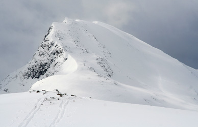
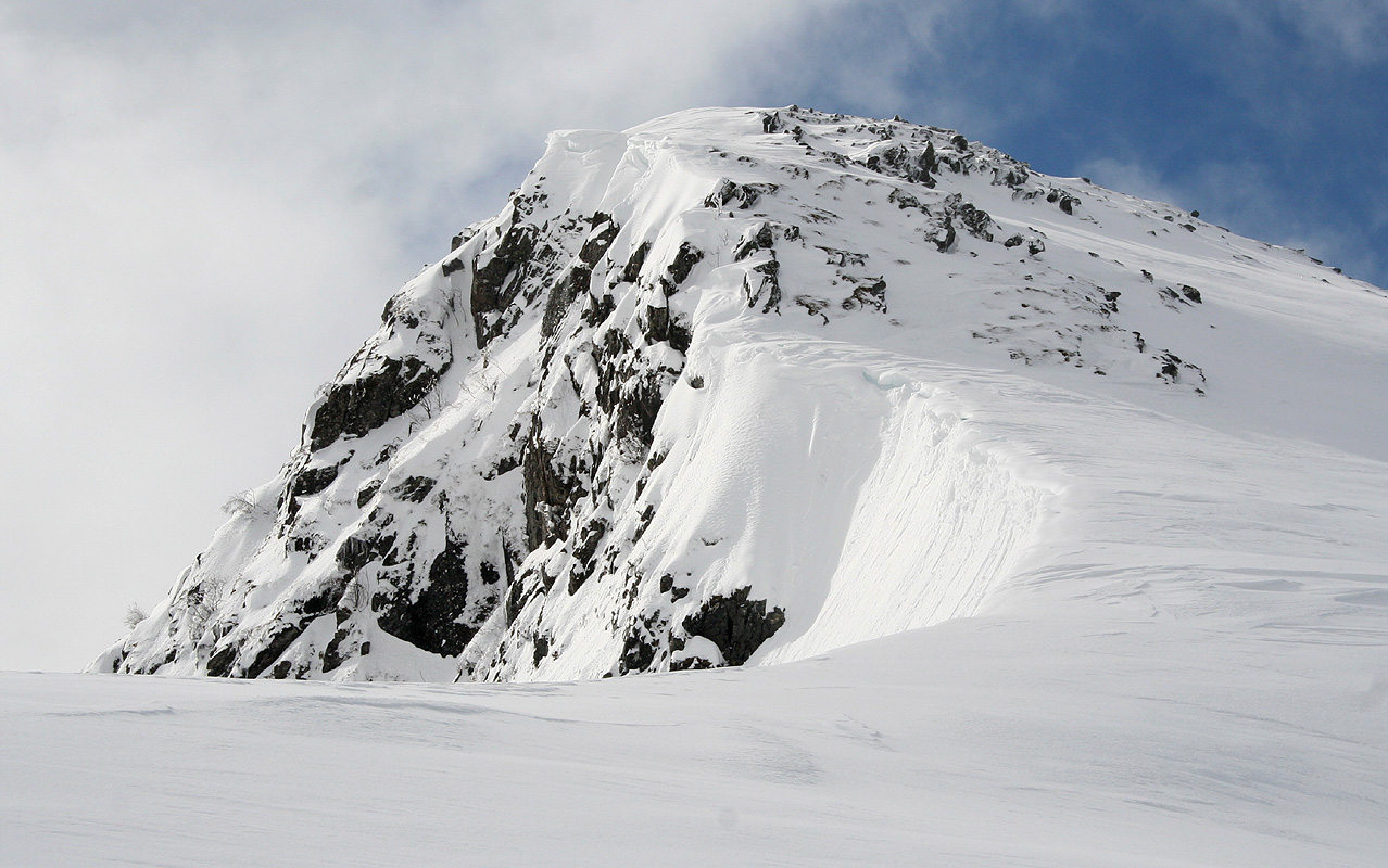
of Heggdalshornet. A distinct col can be seen higher up sort of left (this is west of Heggdalshornet).
Climb this slope, the best area is on the left side of the creek. As soon as the terrain above you
on the left becomes less steep, you may turn uphill in order to approach the key saddle
between Heggdalshornet and Oppstadhornet. This saddle is at location N62:42.207 E006:51.591, elevation
slightly above 500 meter.
From this saddle one may climb Heggdalshornet and/or Oppstadhornet. Both routes are pretty obvious.
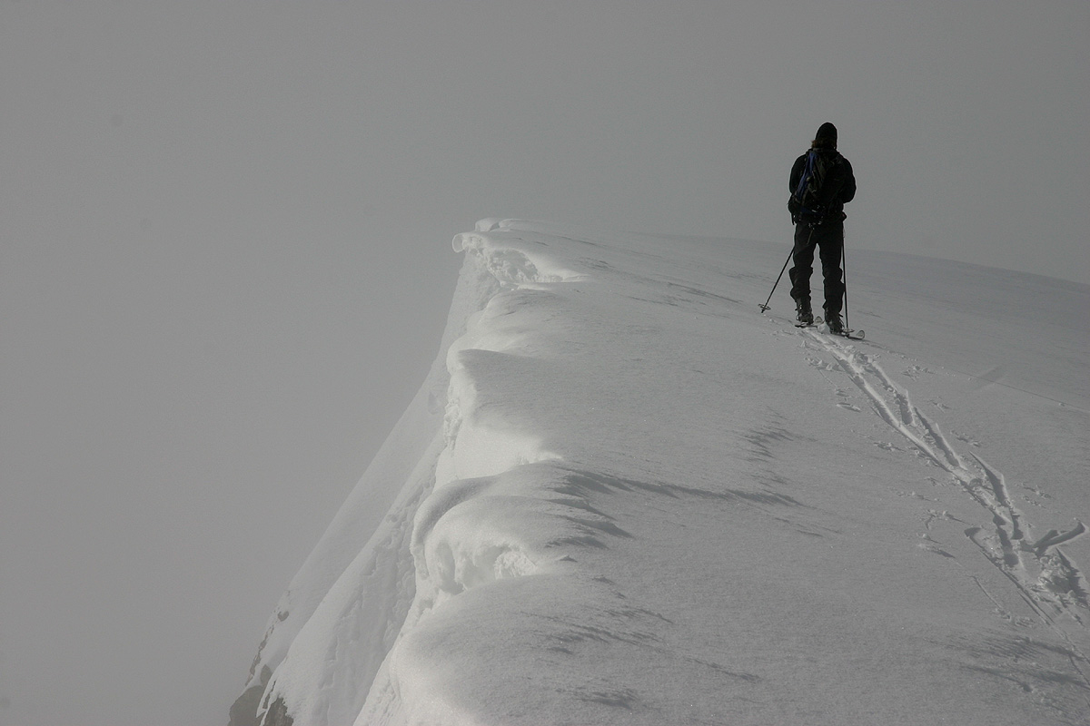
The ridge to Oppstadhornet has a steep drop to the south, beware of possible cornices in winter.
See also
Arnt's description for an alternate
route as well as more detailed information.
Comments:
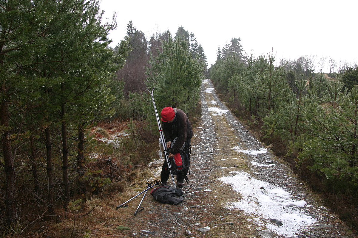
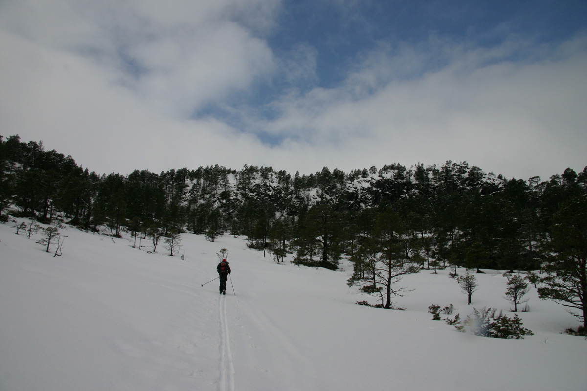
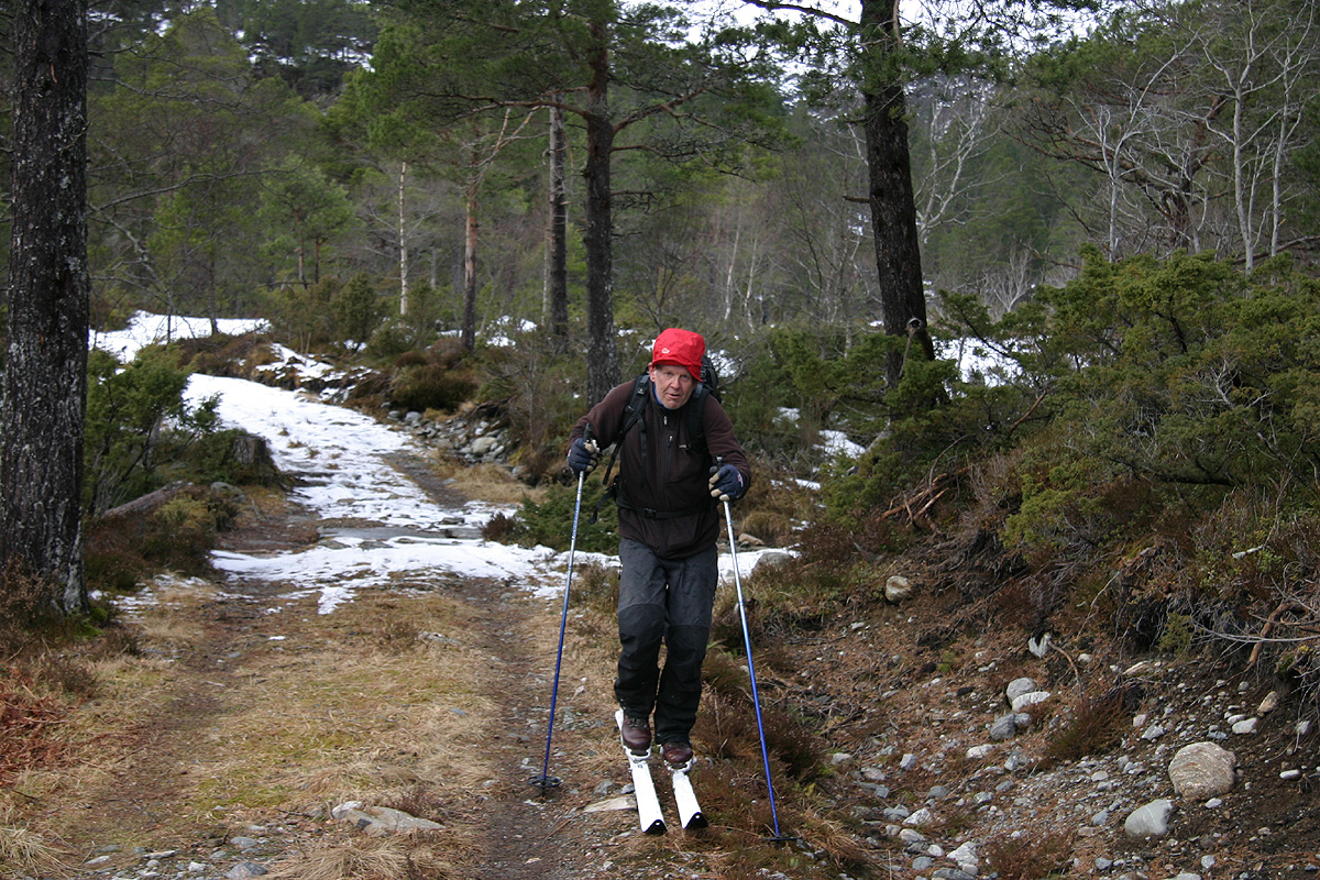
I climbed this peak with my friend Arnt. We left the car around 1015. The first section
of the forest road had no snow, however, we quickly found
enough snow along an old forest road that we could ski.
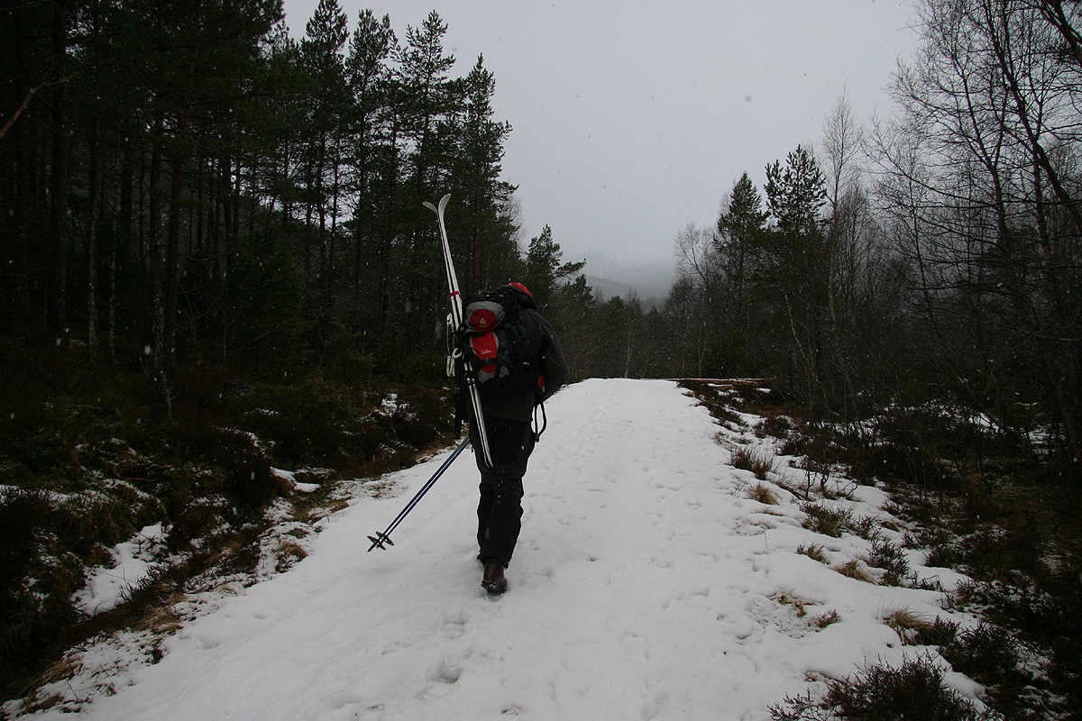
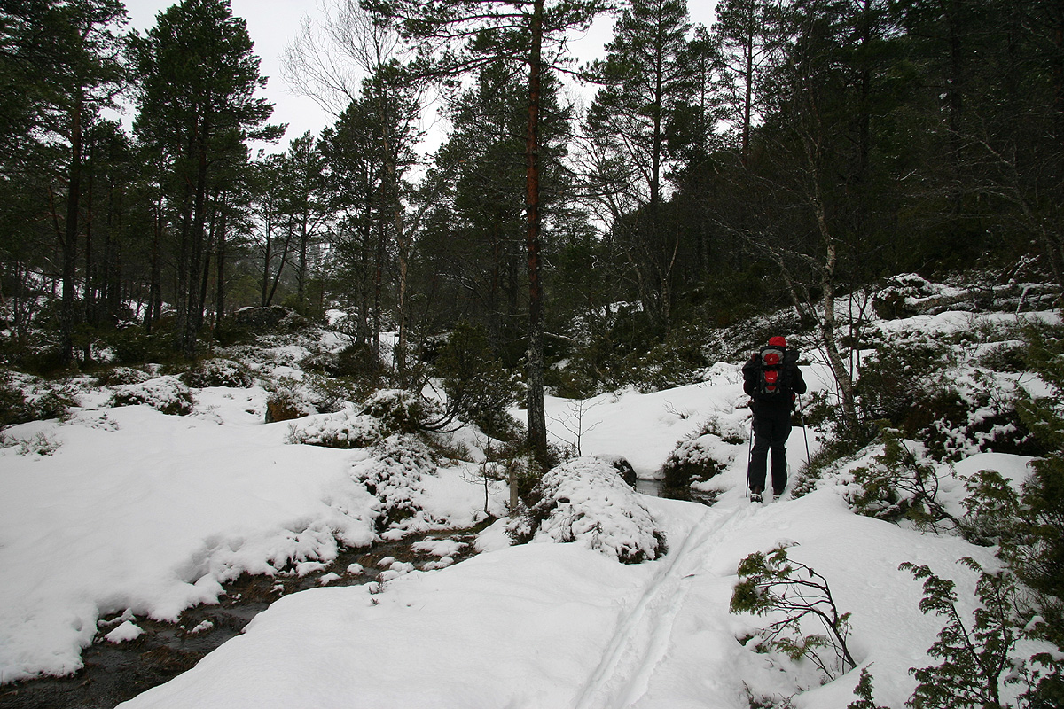
Just as we left the road, skiing was again a bit marginal,
but soon we found more open terrain with
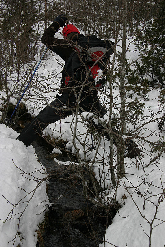
sufficient snow. The very last obstacle was an open creek.
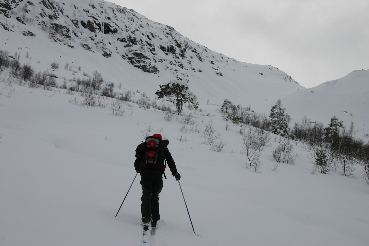
We set course for the distinct col higher up and
Soon, we were already approaching the
saddle that separates Oppstadhornet and Heggdalshornet. We decided to climb
Heggdalshornet first
as it appeared to be nicer to ski down from Oppstadhornet at the
end of the trip.
The terrain was somewhat steeper here, but did not cause any problems.
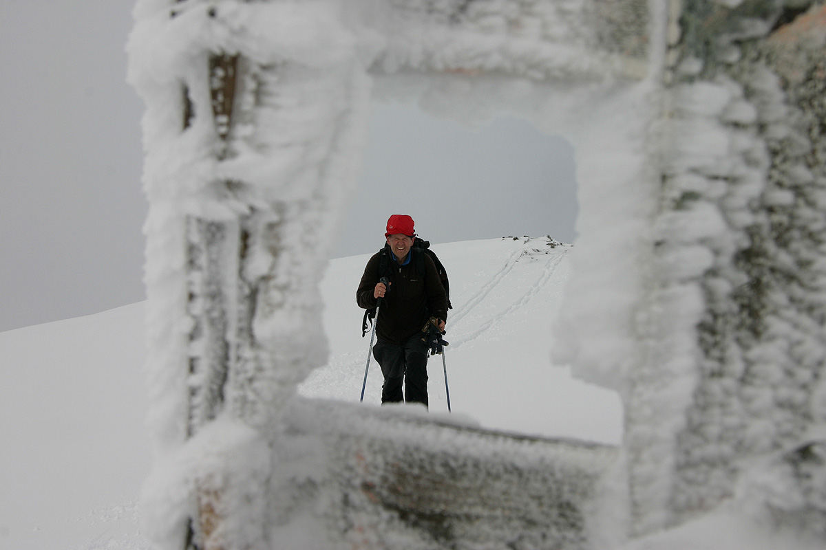
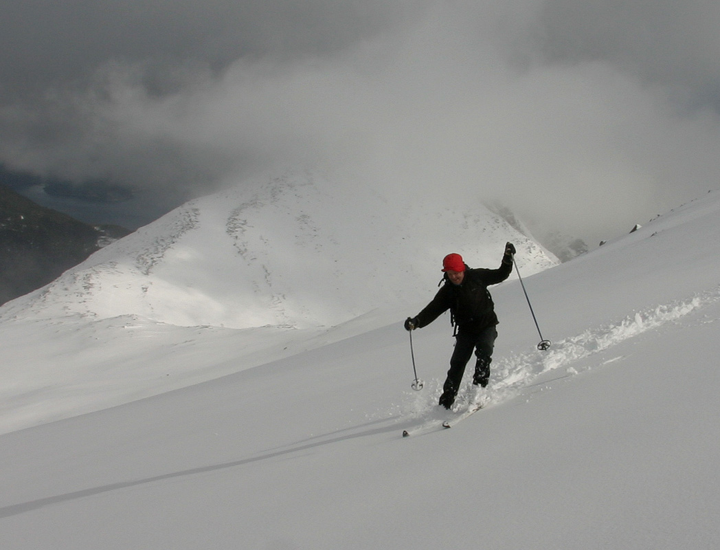
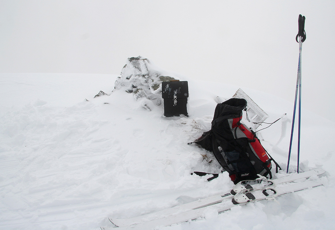
Before long, I skied directly towards the summit cairn.
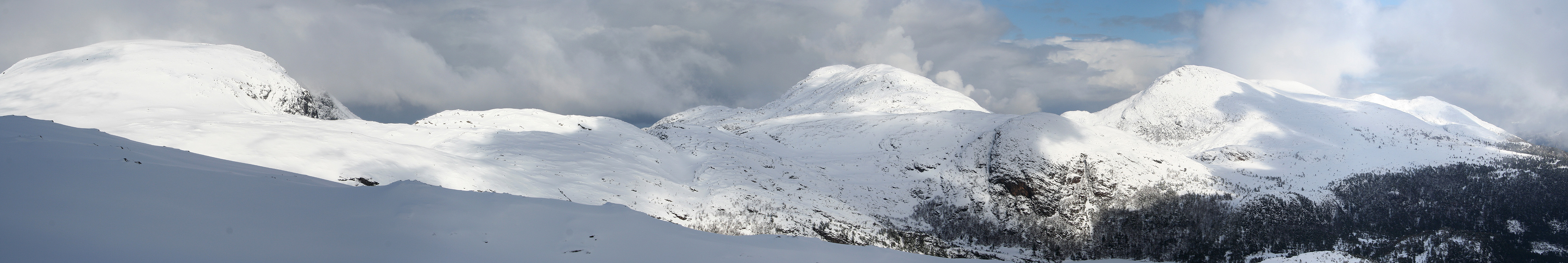
The time was 1240 and we took a break in order to capture the scenery, the light was interesting, drifting clouds
made ever changing shadows and correspondingly shifting light.
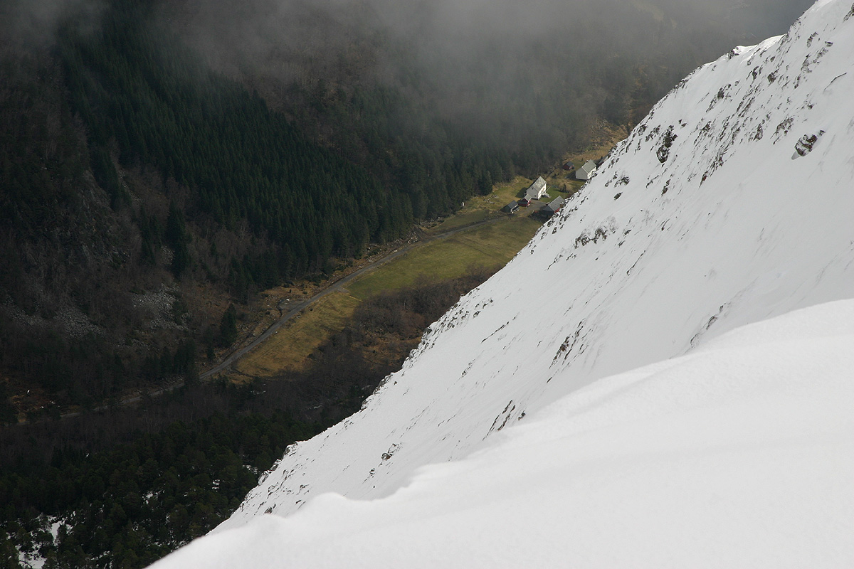
This mountain falls steeply towards Nord-Heggdal.
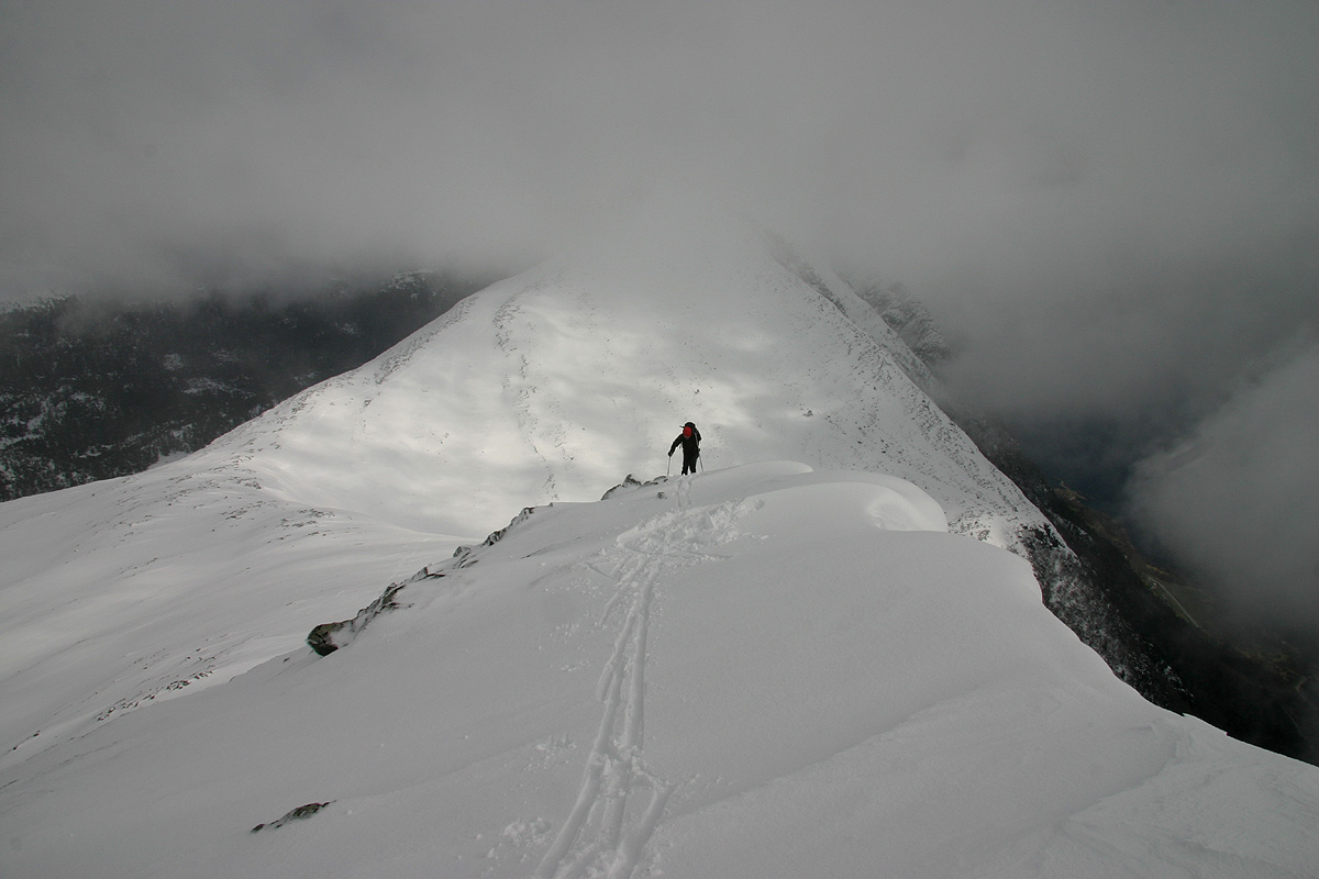
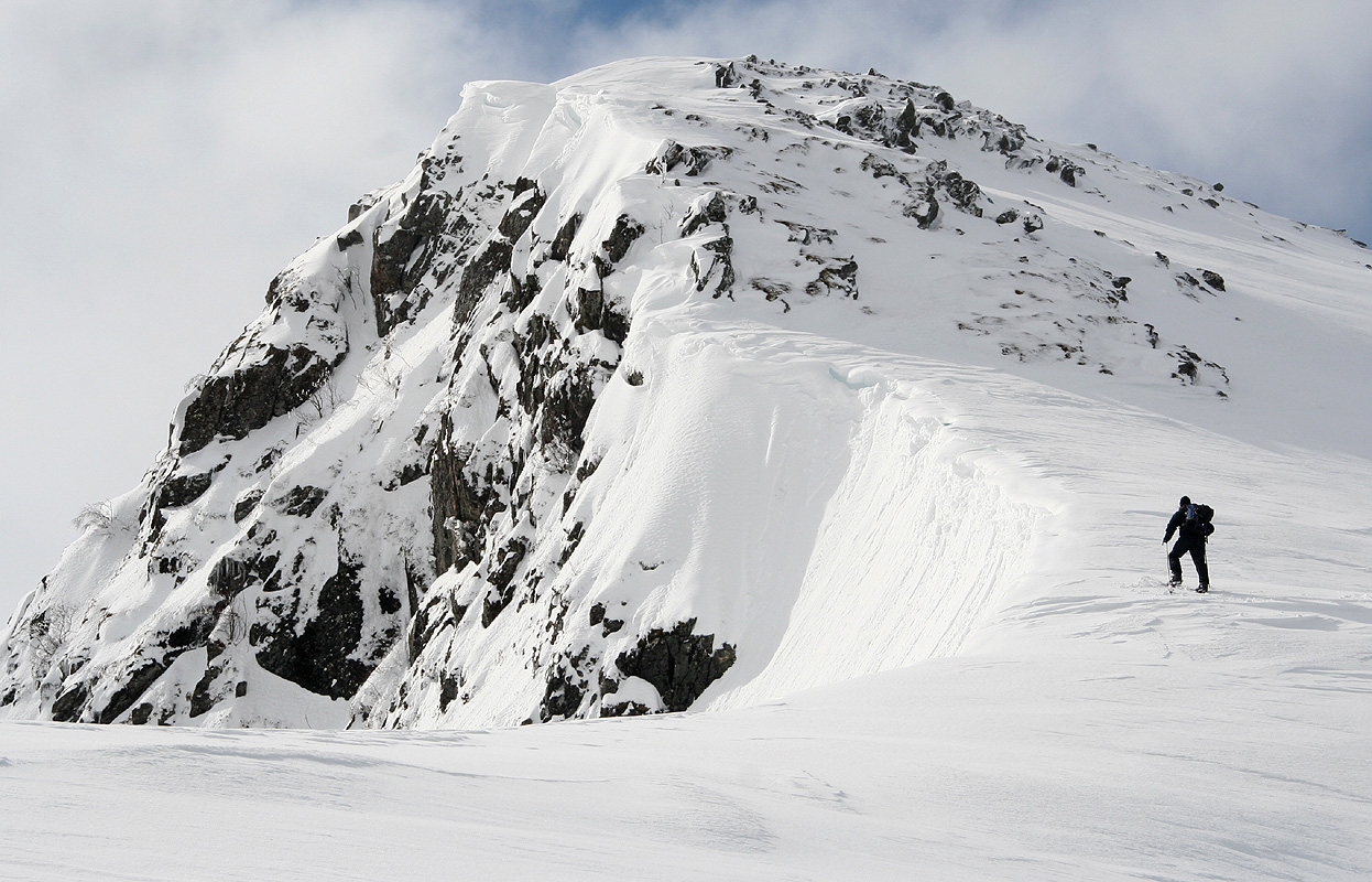
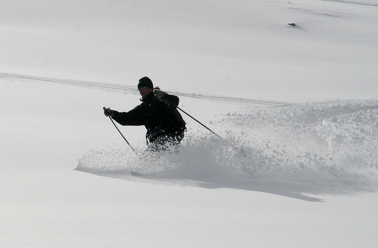
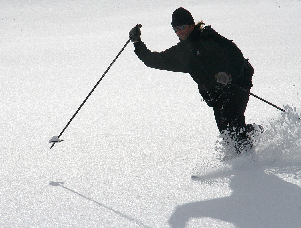
We skied back down to the connecting saddle,
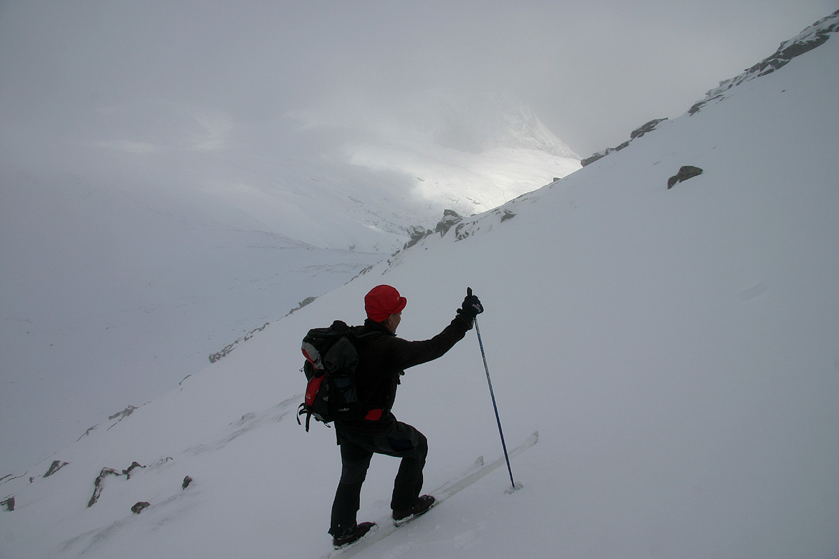
then climbed the east ridge of Oppstadhornet.
Here, we moved into fog while staying sufficiently clear of the steep drop towards south.
We had a short break on this summit, writing our names in the summit register. Next in line was
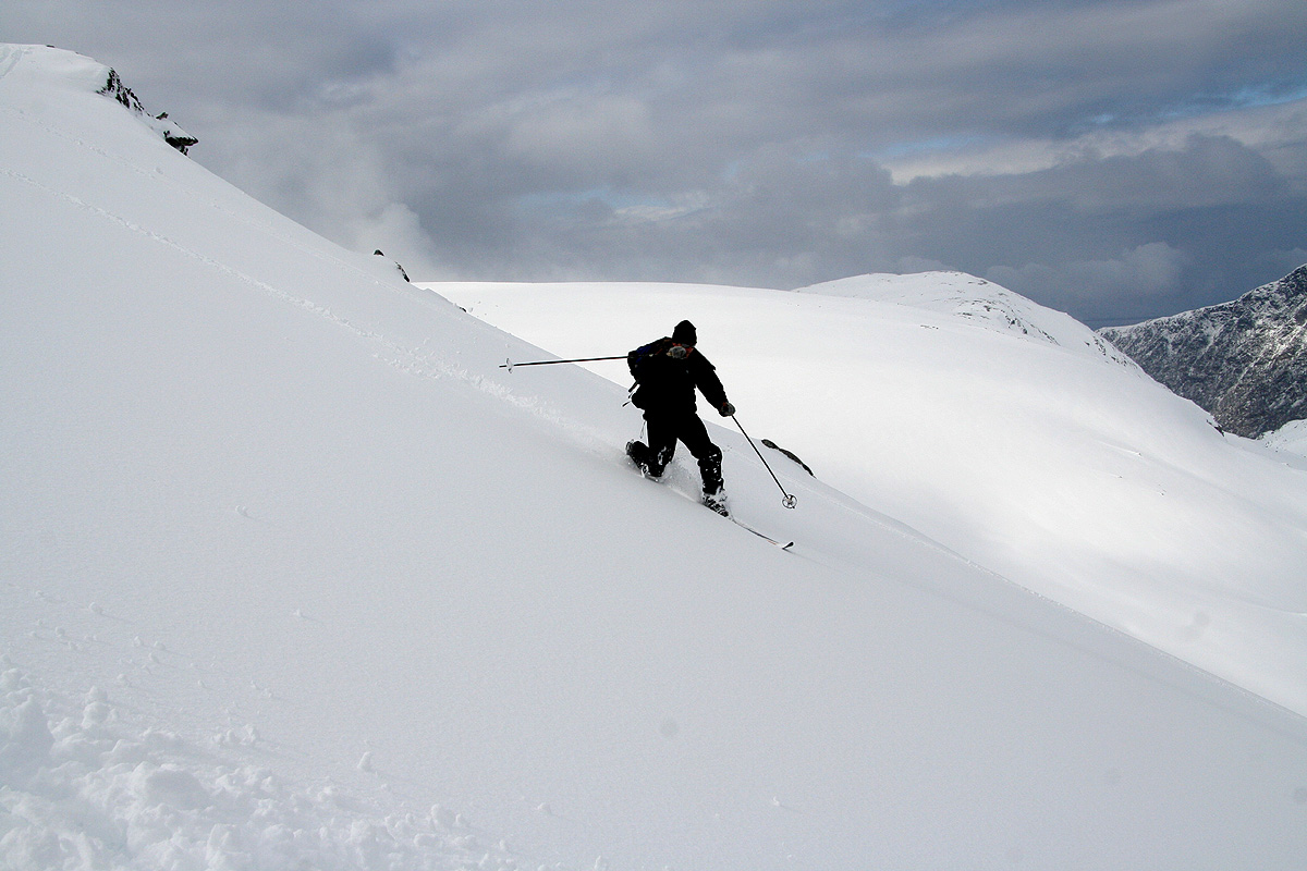
the pretty nice north slope.
Further down, back on the road, we skied as far as we could, eventually leaving winter behind
and finding spring.
This concluded my April visit to Arnt and Møre og Romsdal. The weather was not great, but
thanks to Arnt's extensive knowledge of the area, we picked an optimal destination and thus had a most
memorable ski trip on a mountainous island with fjords and ocean adding extra spices to the beauty
of this unique landscape.