How to get there:
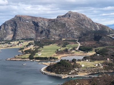
This mountain is on the island Otrøya. Easy to reach by ferry from Julneset directly
west from Molde. Continue to Midsund on the west side of the island.
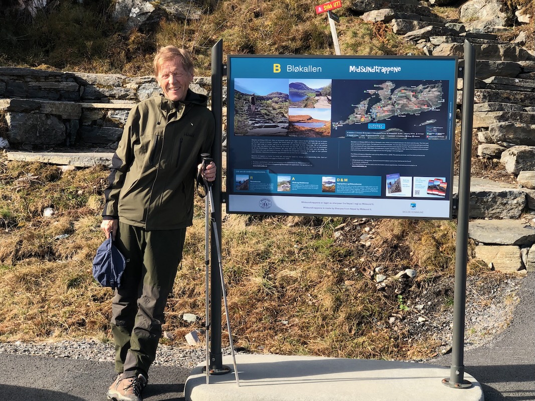
From here, continue west across the bridge to Midøya island. Turn right here and find the trailhead
with parking very shortly on your left. This location is N62.67091, E006.63827.
Route:
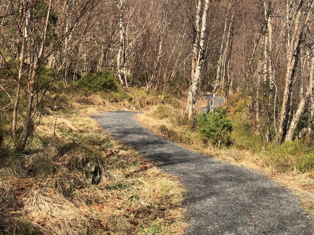
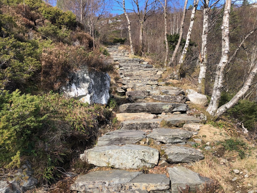
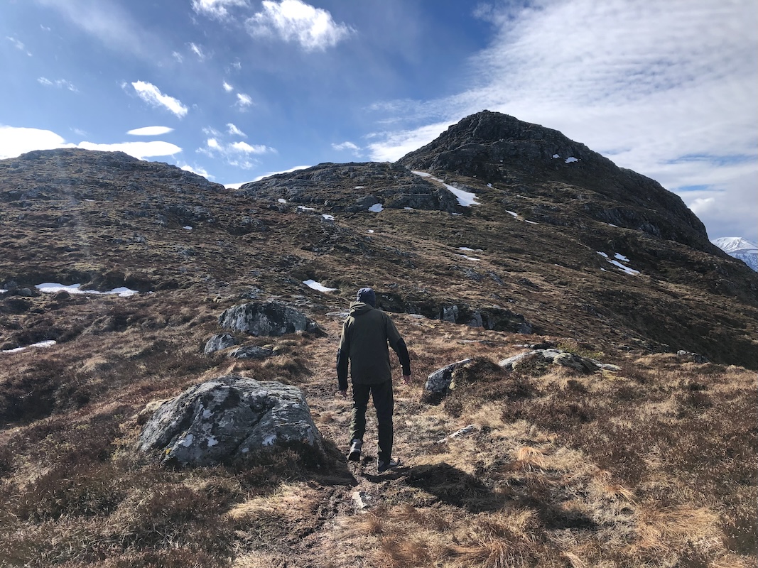
Follow the trail uphill.
This route will soon turn into Sherpa steps.
Keep left at forks, follow the
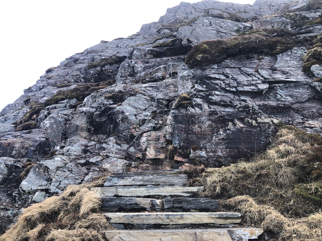
main path. The trail leads to a steeper section equipped with chains.
Proceed with caution, as you gain more gentle
terrain the route continues to the summit.
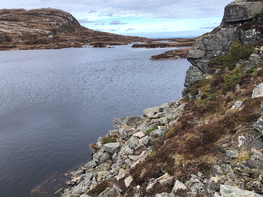
There is an alternative route that avoids the scramble section. This route forks off from the trail described
above and runs on the east side of lake Bløvatnet. The trail may be a bit hard to follow, but the terrain
is easy. There is a narrow passage where the trail has been improved, running extremely close to
the lake. This trail will proceed to climb the peak from its south side.
Comments:
This was the first peak climbed across 3 days of hiking with my friend Per in Molde.
We were parked at the trailhead
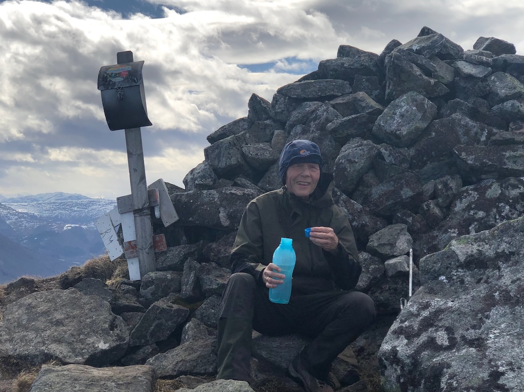
at 1110. Making good time, we were on the summit in
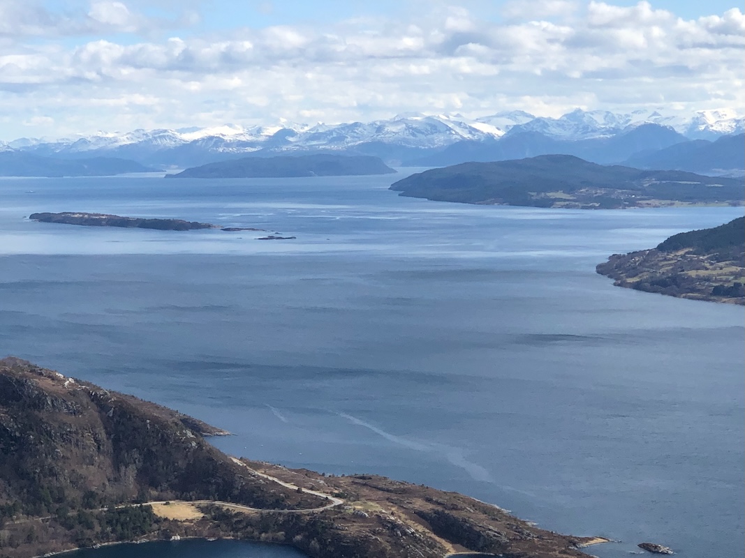
one hour at 1210. A nice rest on top,
however, not without a very noticable wind.
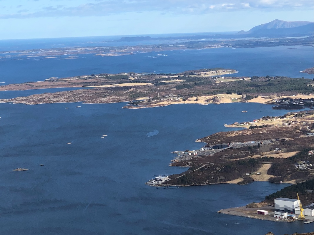
We left after 15 minutes and decided to take the alternative trail descending south.
An interesting route passing right next
to the lake below steep cliffs. We were back
at the car at 1335. With some time to spare, we next went on to climb
Drynjahatten.