How to get there:
This mountain is on the island Tysnes. Easy to reach by ferry from Halhjem, south of
Bergen. The ferry should go to Våge.
From Våge, make a left in the first traffic circle, drive east to Lundegrend where you
make a right turn, going south. The road is signed for Onarheim. Drive south slightly more
than 5 kilometer, shortly after crossing the pass,
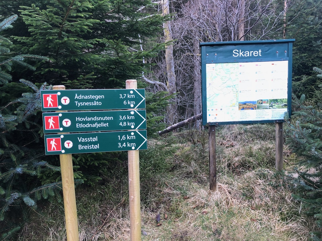
find a parking area with trail signs on your right
hand side. This location is N60.02193, E005.68616, elevation near 150 meter.
Route description:
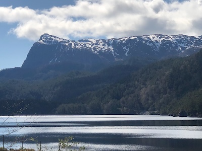
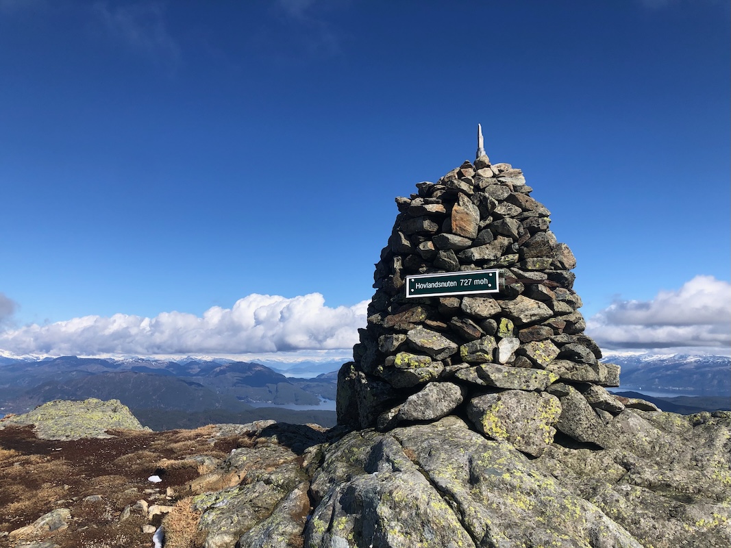
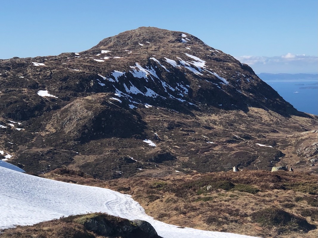
This route first climbs Hovlandsnuten before going to
Etlodnafjellet. Hovlandsnuten is only
10 meter lower, but a far superior viewpoint. With only 40 meter of prominence there is not
much elevation loss to visit both peaks.
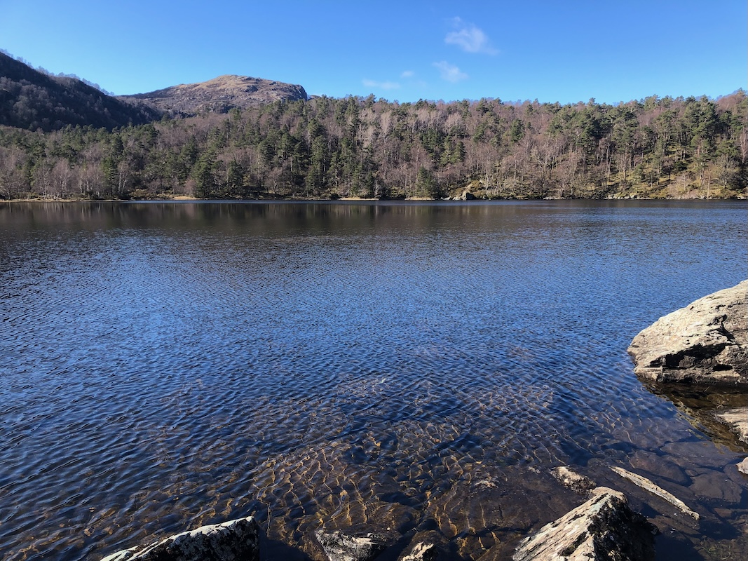
There are nice trail signs at the trailhead. First hike an old forest road to the lake
Vasstøltjørna.
The summit trail forks left on the south (left) side of this lake.
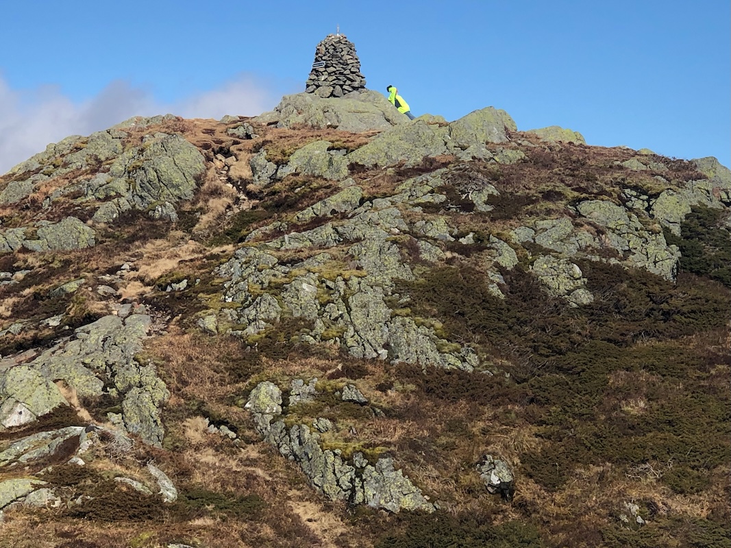
This trail will take you to the summit of Hovlandsnuten.
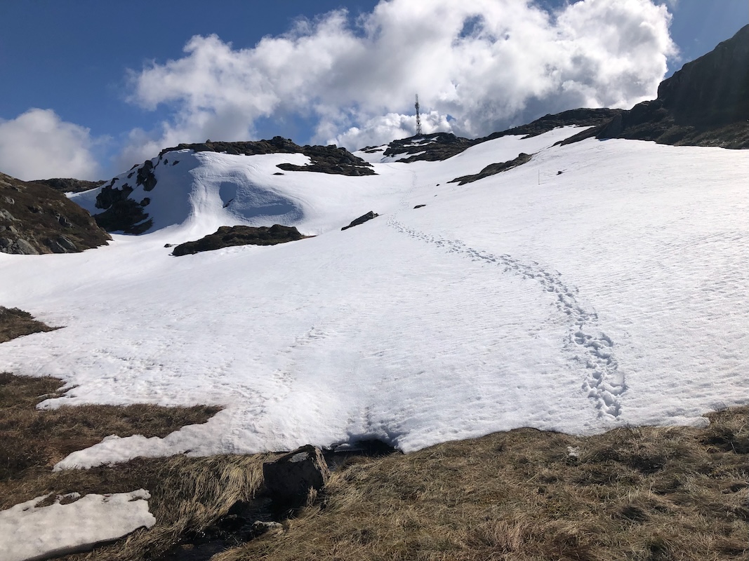
From Hovlandsnuten, follow another marked trail towards the col that separates Hovlandsnuten from
the plateau where the summit of Etlodnafjellet is located. This summit has an antenna, making
navigation quite easy. There is also a pretty large hut located right below the summit point.
One may return the same way, or descend more directly from Etlodnafjellet going north. The easiest (and possibly
quickest?) route is to return towards Hovlandsnuten, then join the uphill route. Going north, you first
follow a drainage, then cross a bit east to descend the ridge. There are some long pole markers (winter?),
however the terrain is steepish and one should look caarefully to locate the best possible route of descent.
Once down in more gentle (flat) terrain,
you will locate a trail that takes you (going right) back to the lake.
Comments:
I had already been on Hovda, my next obligaation was to be in Onarheim by
1800. Thus, I had more than enough time to spend on this hike.
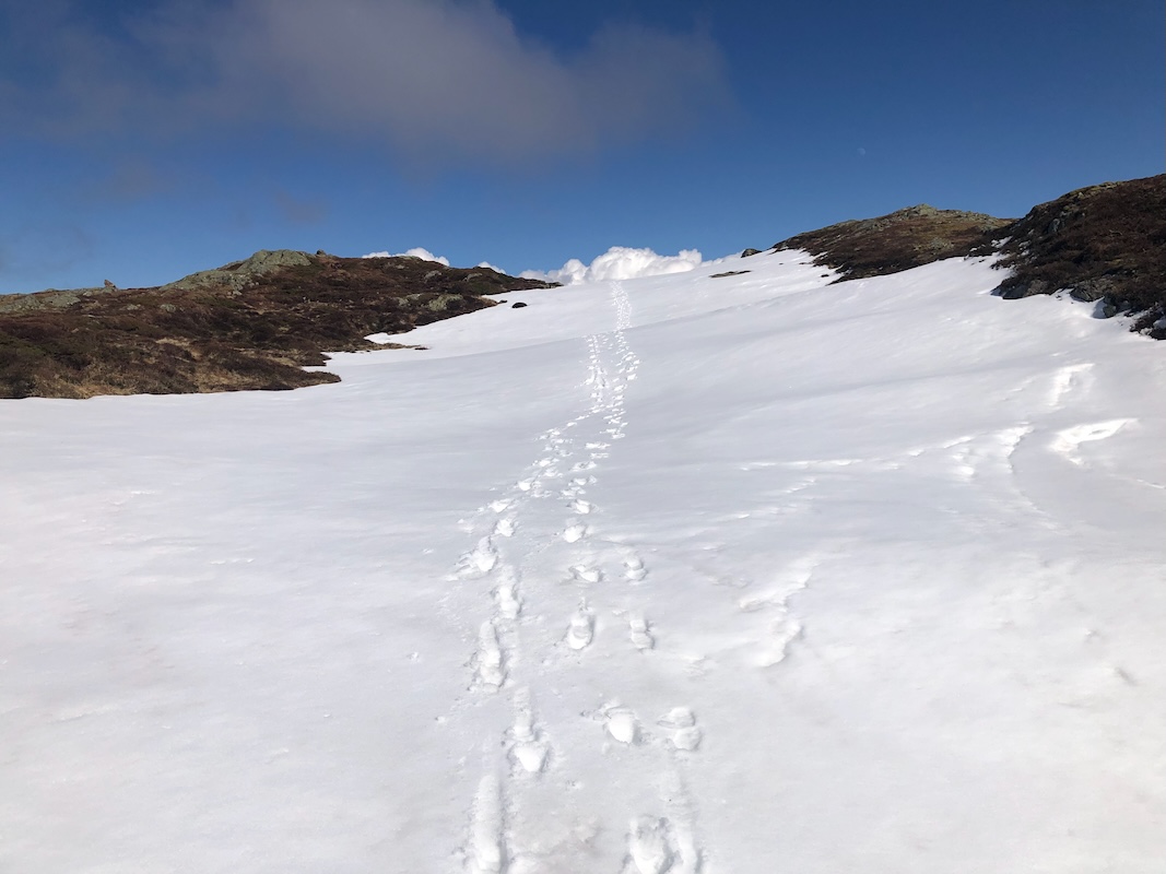
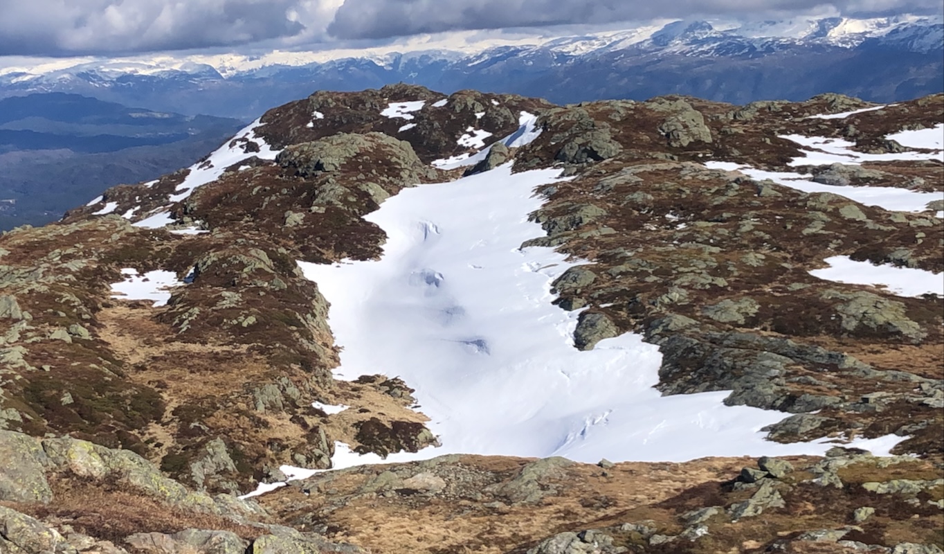
I started at 1300. Higher up, there were patches of snow, but easy going. Then I met 2 persons on the summit
of Hovlandsnuten.
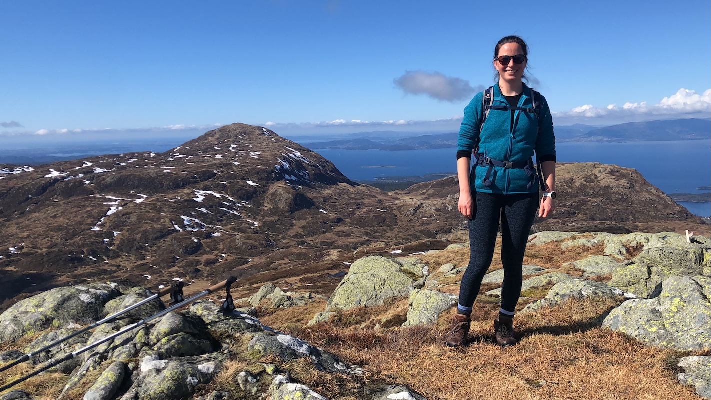
The man was my age and lived on Tysnes. His companion, Madeleine being much younger.
She wanted to vist the proper highpoint.
We agreed that he should descend to the lake while we made the longer loop, then meet up by the lake.
It had taken me 1:15 to Hovlandsnuten.
Hiking across
to the summit took slightly less than 30 minutes.
After a brief stop, we hiked directly down
to the trail, then
more downhill to the lake. Her compannion was already there when we arrived.
I said goodbye and continued to my car, there at 1615.
What remained was some food in the car, then a short drive to Onarheim for a final
ascent of Storhaugen.