How to get there:
Take the ferry from Haljem to Våge. In Våge, turn left in the traffic circle, direction
Nordheimssund. Drive west about 9.3 kilometer, then turn right.
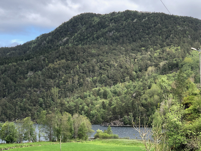
Drive past lake Vevatnet, the route begins at the small road forking left to serve the farm at the
south end of the lake. Parking is difficult here, good parking may be located about 600 meter further
south on the left sside of the road. This location is N60.033145, E005.676977.
Route:
From the farm mentioned above, follow the tractor road uphill towards the pass called Skardet.
Shortly before reaching this col, a clear trail forks left. Follow this trail to the summit.
Comments:
I started from Tuvefjellet shortly after 1100.
I was doing a loop hike with 2 summits after leaving my wife at
Malkenes where she would be hiking, looking for "stolper", an easy variation
of orienteering.
I arrived at the summit
around 1150, about 45 minutes after leaving Tuvefjellet.
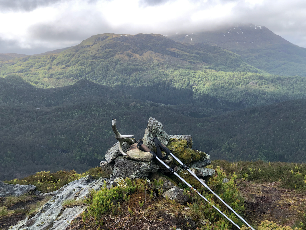
Nice views to Hovlandsnuten.
I left shortly before 1200, and was back by my car at 1230.
After picking up Heidi,
we next travelled toVetlefjell.