How to get there:
Take the ferry from Haljem to Våge. In Våge, turn left in the traffic circle, direction
Nordheimssund. Drive west about 9.3 kilometer, then turn right.
Drive past lake Vevatnet, continue less that one kilometer and take a turnoff on your left. This is
location N60.033145, E005.676977, elevation near 85 meter. Park here, this is the trailhead.
Route: Note:A trail passing Kyrkjefjellet, 332m, starts about 1.3 kilometer south from my trailhead.
From my trailhead (above), follow the tractor/logging road that heads north-east. It crosses the small creek and
curves uphill well above 200 meter of elevation. Since not in recent use, one maay have to look for it
at the upper part, but the terrain in this area, heading uphill, north-east just on the west side of the
small creek, is easy to walk almost anywhere. Cross the creek near 250m elevation and continue more right leaving
the creek and ascending more steeply to above 300 meter. Here, you should find the gully that ascends to the
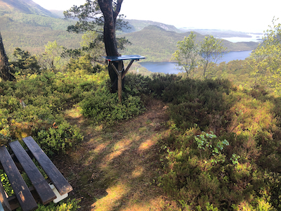
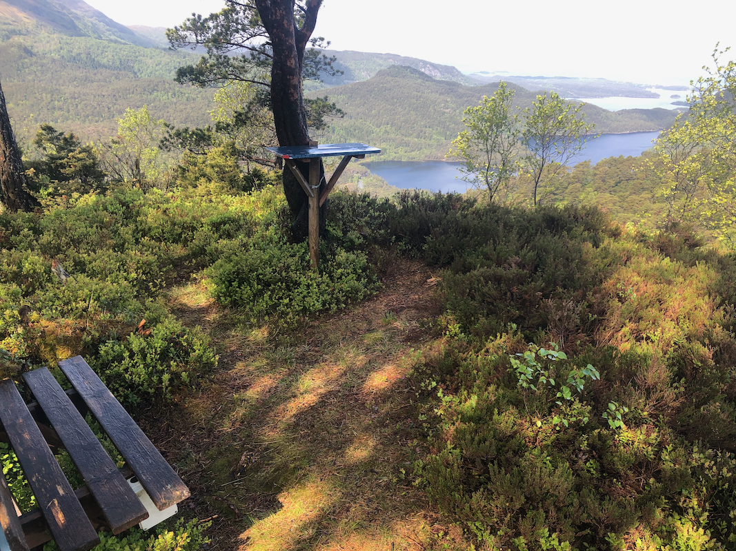
shallow col between the Tuvefjellet summit (left) and the Tuvefjellet viewing area (right), visit both locations.
Note that the view-point area located about 80 meter south-west of the summit, is about 0.8 meter lower
according to the new laser (lidar) measurements. A small col separates the two summit points.
Comments:
I started at 1020, after dropping my wife Heidi out by
Malkenes where she would be hiking, looking for "stolper", an easy variation
of orienteering.
The ascent went smoothly and I arrived at the viewing area
after about 30 minutes.
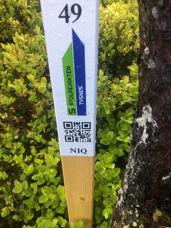
I was quite surprised to see "a stolpe" there,
it was red, indicating that an easier route should exist.
I passed across the actual summit on my way to
Kannikkenuten about 10 minutes later. Descending to the trail in Skardet, I met my
friend Odd Magne, quite a nice surprise! He was out doing the same loop hike as me, but in the opposite
direction. My next objective was Kannikkenuten.