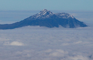
Cotacachi
- Cotacachi
- 4944 m
- Primary factor 1832 m
- Location: North 00:21.643 West 078:20.925 (GPS on the summit)
- Location: West of Imbabura.
- No. 11 in Ecuador.
- Saddle: 3107 m
- Difficulty: Grade AD, YDS class 5.4
- Climbed December 11, 2008.
Cotacachi
|
|
Return to the Ecuador summary page.
Trip Report (continued):
The beginning of this trip report is here.
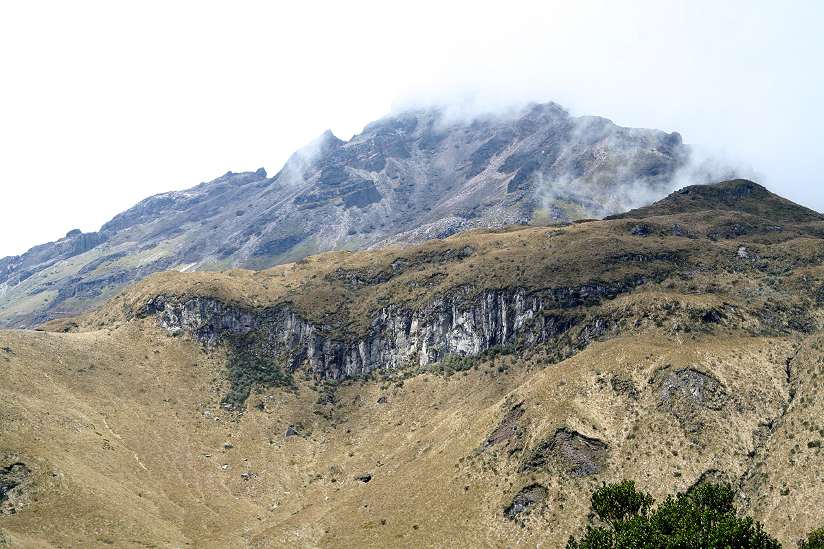
Day 4: The ascent of Cotacachi.
The day started with some really bad news. We all noticed Rob's frequent visits
to the bathroom during the night and it soon became clear that he had serious
stomach problems. In the morning, he was quite weak and it was evident that he had
to remain in bed while we attempted Cotacachi.
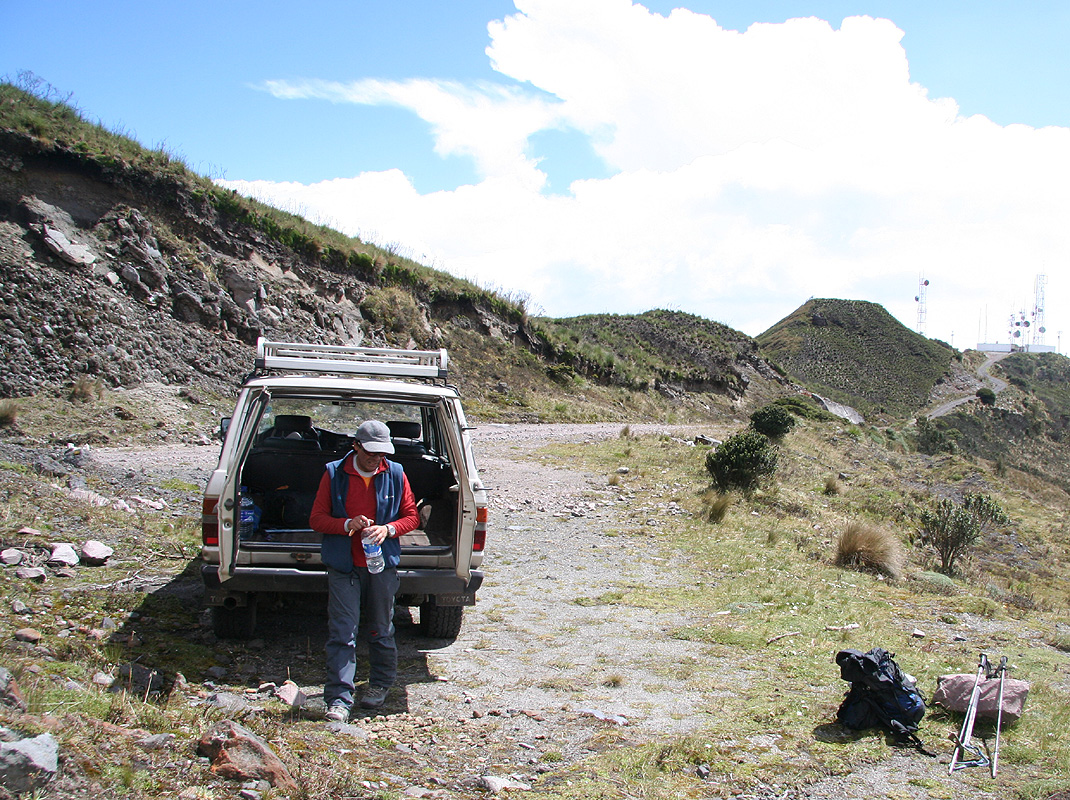
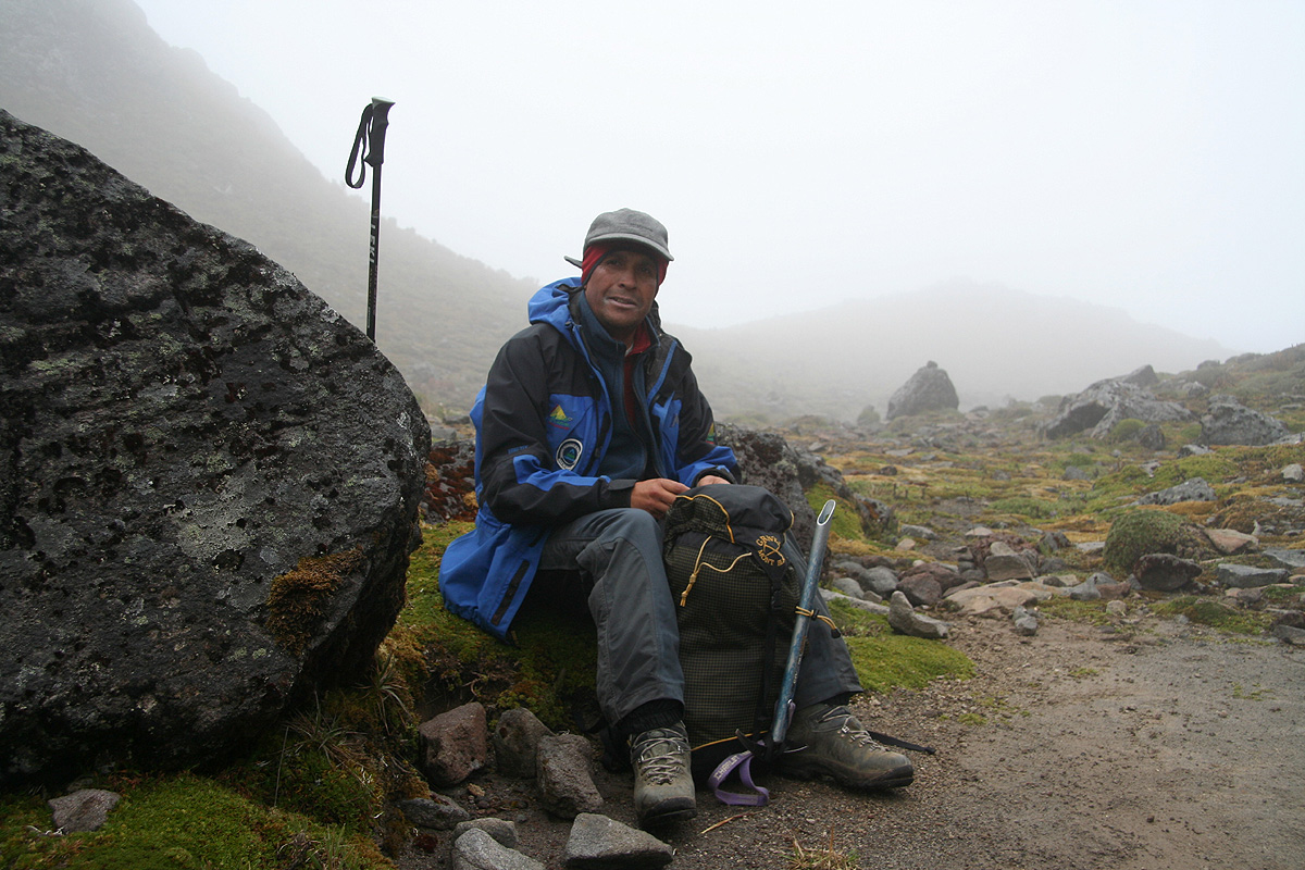
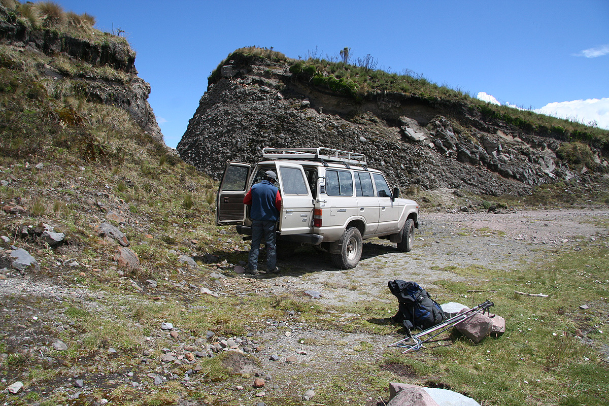
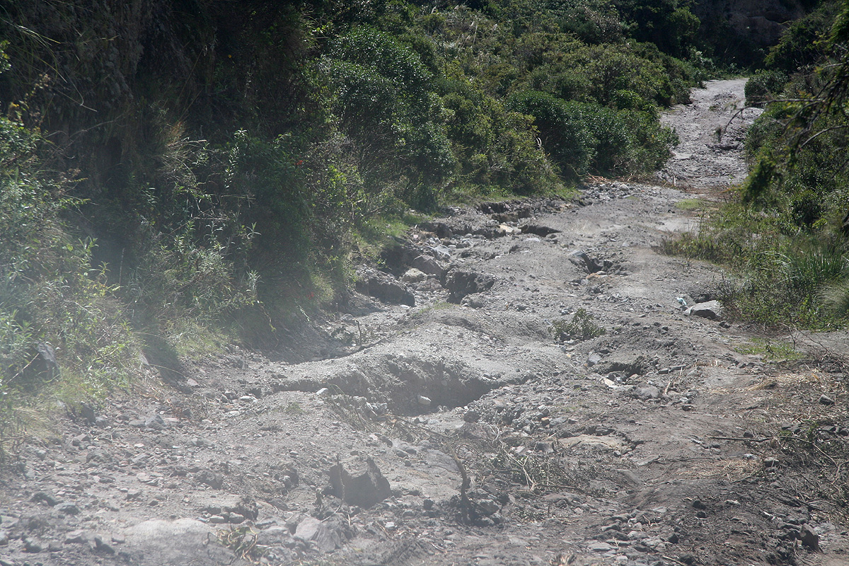
We got up at 0400. The motel served us breakfast and we were on our way in Diego's
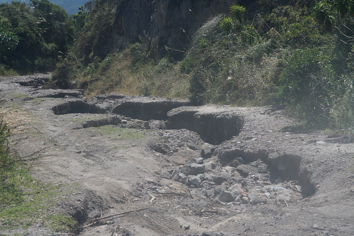
Landcruiser by 0450. The road up to the trailhead turned out to be of very variable
quality. There were sections that were pretty good, but then other parts that were
really terrible. We admired Diego's guts and driving skills as he pushed the vehicle
across large boulders and deep holes as well as close to places where water had taken
the road away altogether. We reached the trailhead by 0600. More than one hour to drive
11 kilometer says it all.
It was a beautiful morning, crisp air and a mix of clouds and blue patches all over the
morning sky. At 0700, after one hour we
had our first rest at the col where parties sometimes
establish a base camp. Adam expressed a bit of "weak motivation", he seemed more tired than
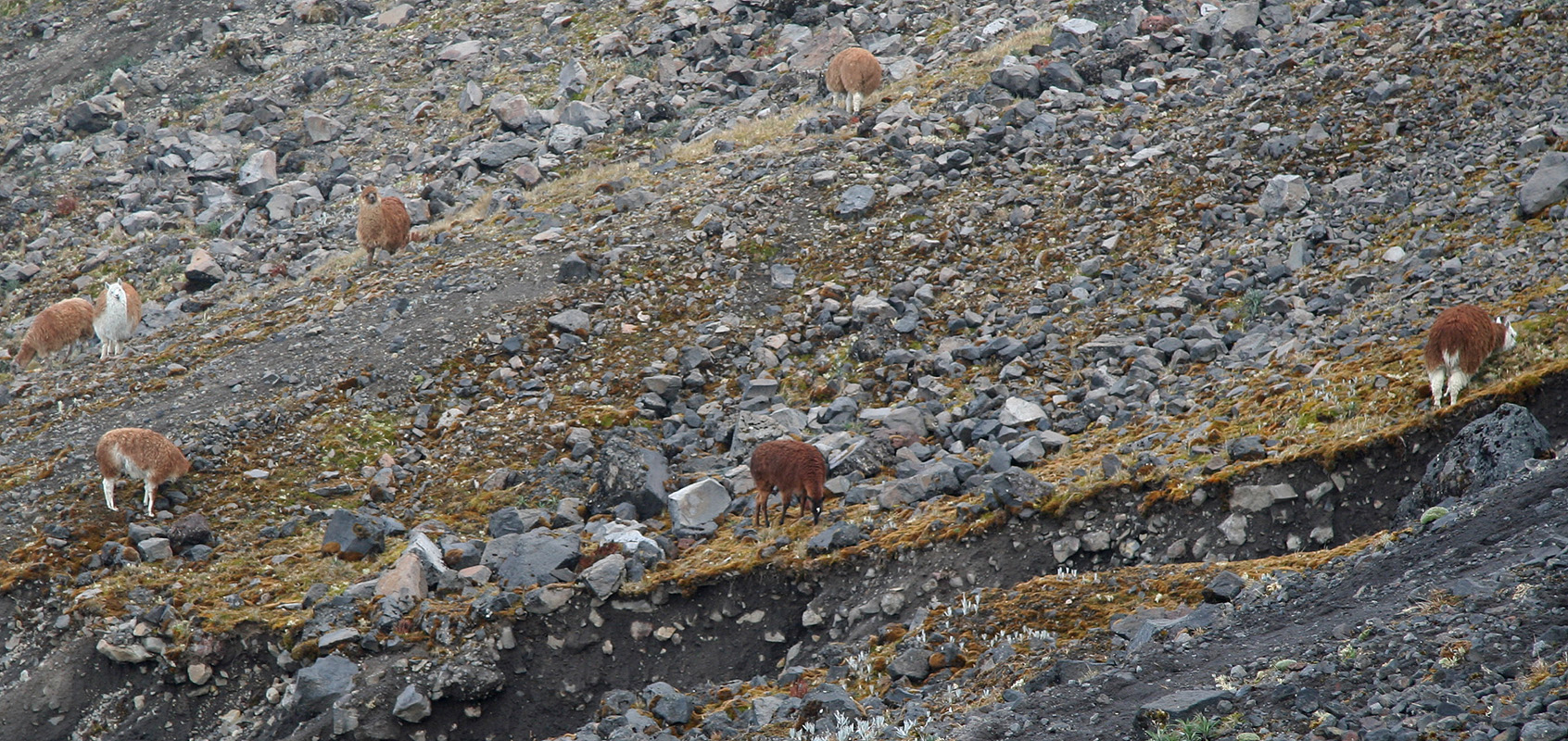
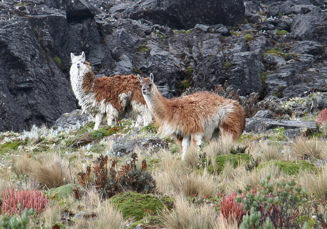
on earlier hikes. We proceeded uphill and as we ascended a ridge that led uphill, we observed
a small herd of lamas on
our left side. Diego told us that they were not really wild,
somebody would claim ownership.
Higher up,
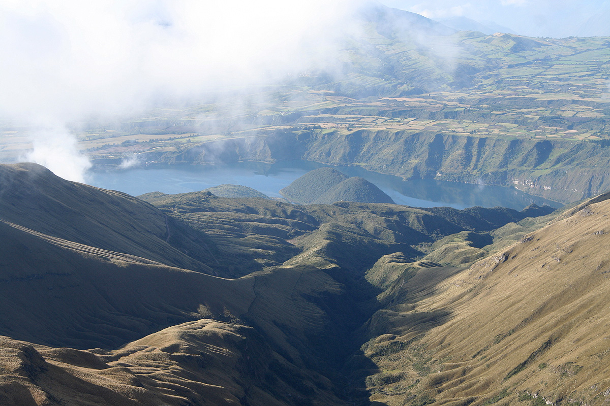
it was time for a second break before
entering the small valley further ahead and further left. The clouds parted and we had a
very nice view back down to the lake Lago Cuicocha.
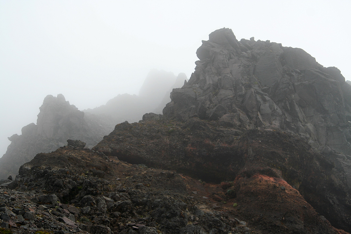
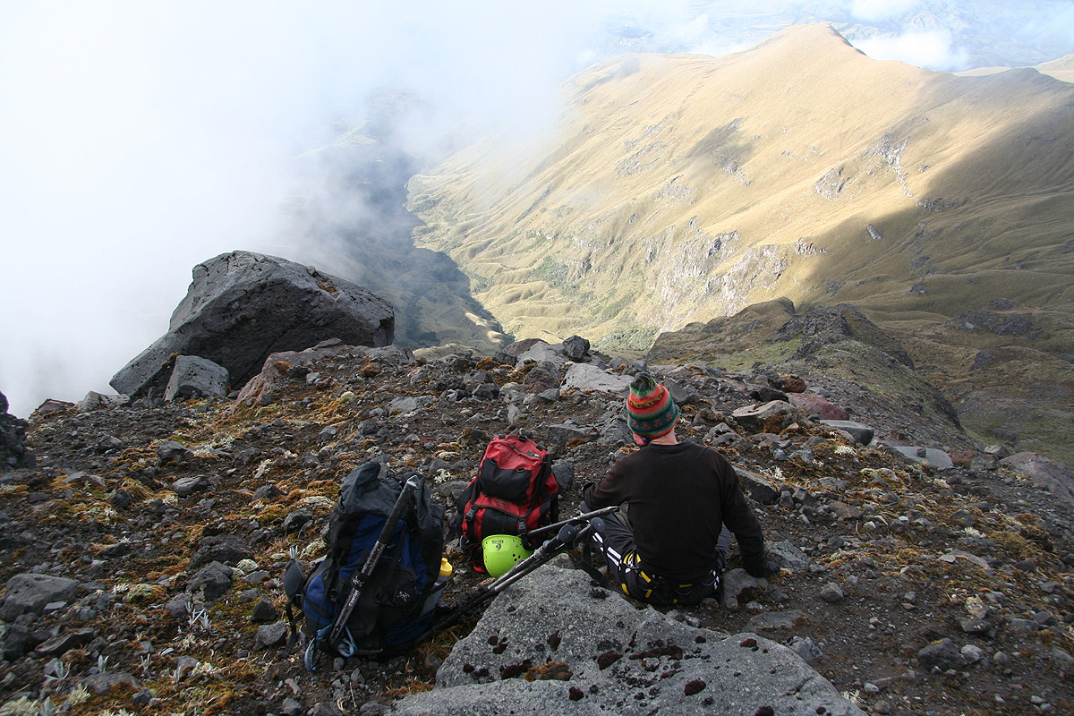
Time to wear helmets as this
area could have instances of rock falling from above.
We entered the valley and ascended up the slab rocks along the right hand side.
"Swooosh", a small rock zoomed by my helmet about 1.5 meter away. Thus, the reputation
of this area was fully confirmed. We came up on the level section above the rock ramp and
ran into snow for
the first time. Putting on crampons, we quickly observed that Adam had a very
bad match between his light, leather hiking shoes and his crampons. The combination did not
look very safe and Diego did not approve what he saw. Fortunately, this location was well
protected by a steepish rock overhead, so no rockfall danger right here. We agreed that Adam
should wait in this location while Diego and I would proceed and make a serious attempt to
climb this somewhat elusive peak.
We continued across the first small snowfield, then downclimbed a crack/ledge of rock keeping
the crampons attached. This got us onto a pretty large snowfield that we could continue to
ascend leading us to a very distinct snow col. I approached this col with utmost care, not knowing
if it could be corniced at the opposite side. Taking a careful peek above the edge revealed a
completely safe and gentle downhill slope on the other side. Proceeding a few meter downhill, we were
now on a pretty large snowfield that extended downhill as far as visibility permitted. We turned a
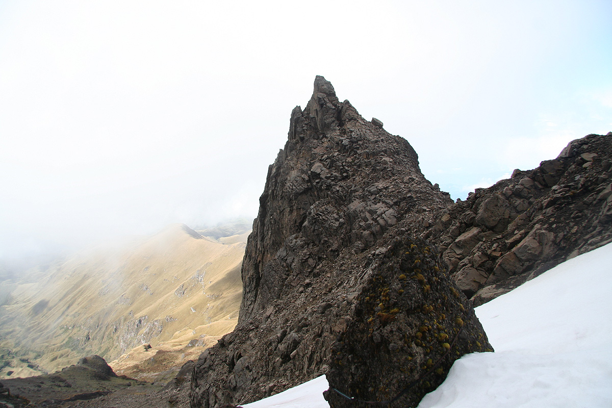
gentle corner moving right and then followed a nice snow gully that ascended somewhat steeper
uphill. Topping out from this gully, we were at the level with a small shoulder on our
right hand side. We moved horizontally left and entered a very narrow gully that extended further
uphill. Diego explored the first part, sort of frozen clay, it seemed like one might consider
climbing with crampons despite the lack of snow or ice. Diego discovered an attached carabiner
in this gully, so obviously, somebody had climbed here before.
However, the terrain was not very attractive and Diego suggested that we retreat and rather cross
the gully and then attempt to climb the rock from that side. We left the crampons and ice axe behind.
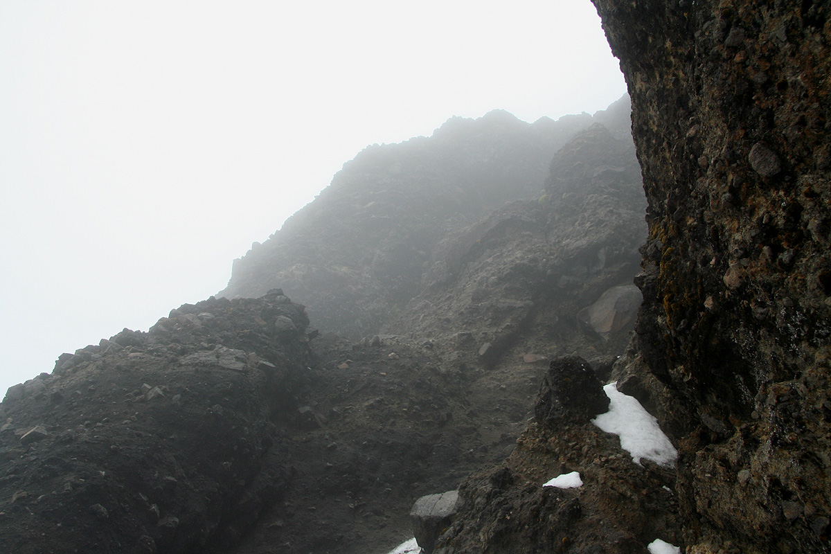
Diego climbed upwards, rather carefully as the rock was totally unreliable, but still quite
efficiently. Eventually, he disappeared out of sight leaving intermediate belay points along the
way. Finally, he shouted that I could start uphill. What had looked "simple" when he climbed, was
suddenly not "quite" so simple. The climb was exposed and the rock was indeed very questionable.
A "handhold" immediately got a new meaning: It is a "hold" that you reach for, take in your hand,
then look at as you "hold it in your hand". What looked like plenty of holds turned out to be mainly
loose and dangerous, fortunately, a few here and there seemed to last at least until you had moved
on to new territory. Happily, I pulled myself up to the belay stance that Diego had established
in a small notch.
From here, the route was much easier, (YDS) class 3 terrain. We proceeded carefully, but with good
progress and before I
knew it Diego sat down
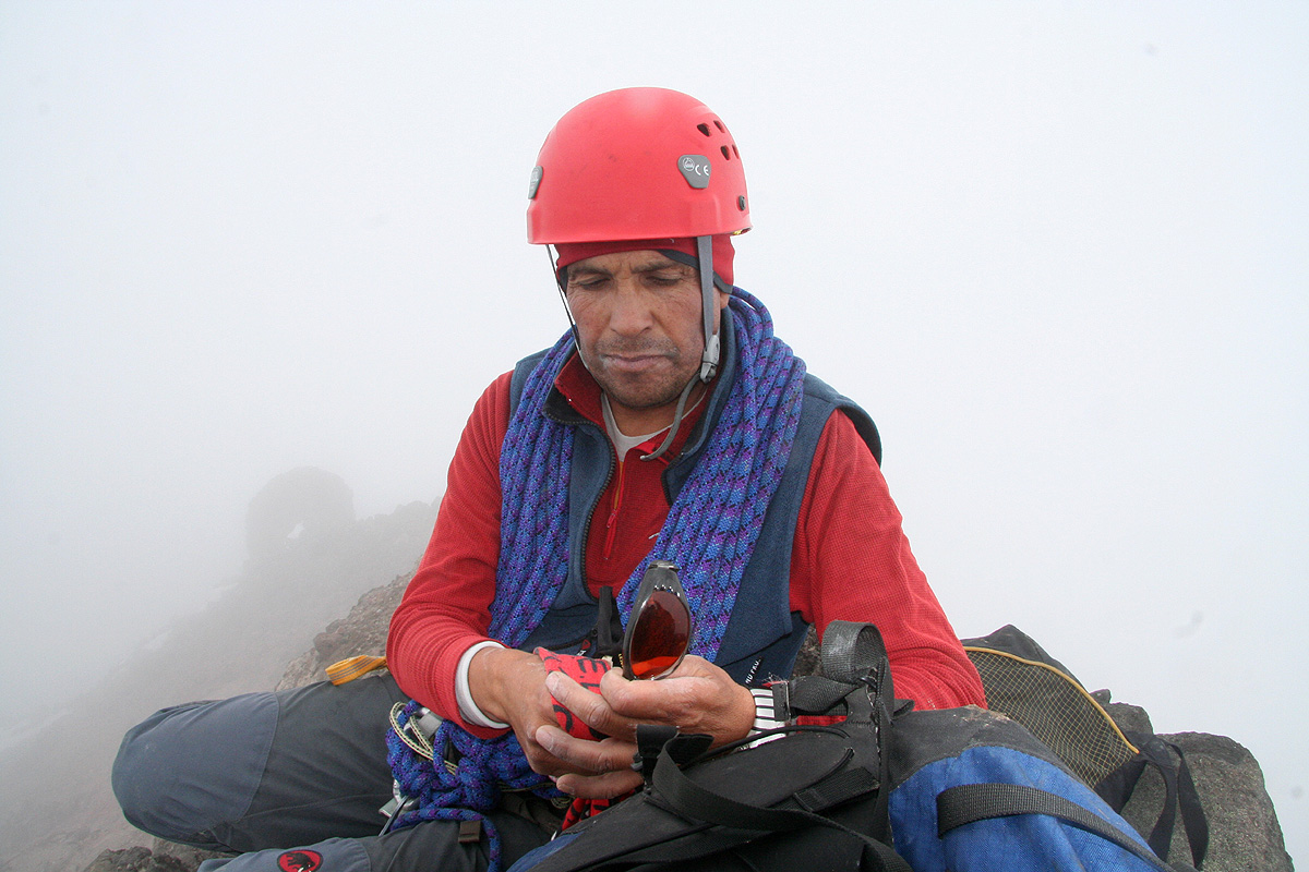
on the small and well defined summit. We shook hands and
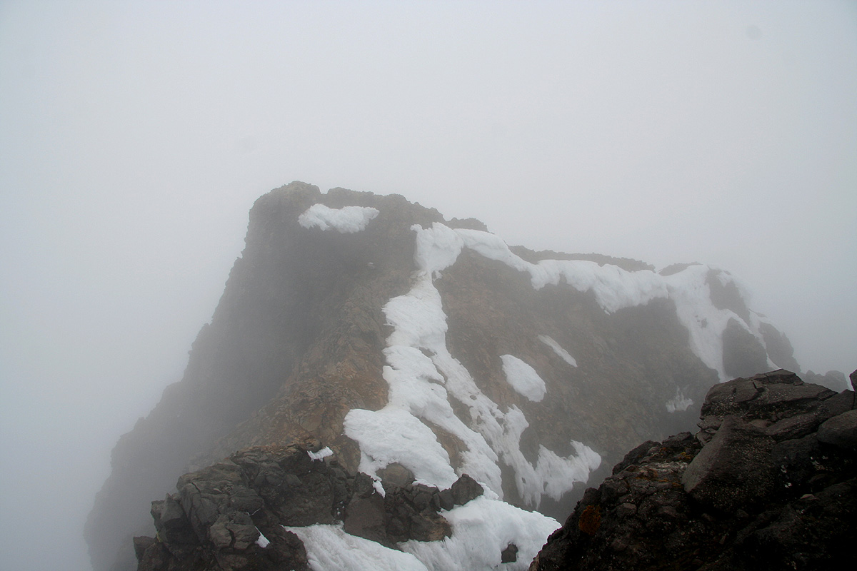
sat down, just enough real estate for two climbers. The weather was rather cloudy, thus the visibility
was very limited. I could
see part of the ridge that
continued past the point where we had reached it.
There were some blue patches of sky right overhead and in a good and memorable moment the sun hit us
directly from above. We had arrived at 1010, a few photos and some drinks of water, we started down
around 1020.
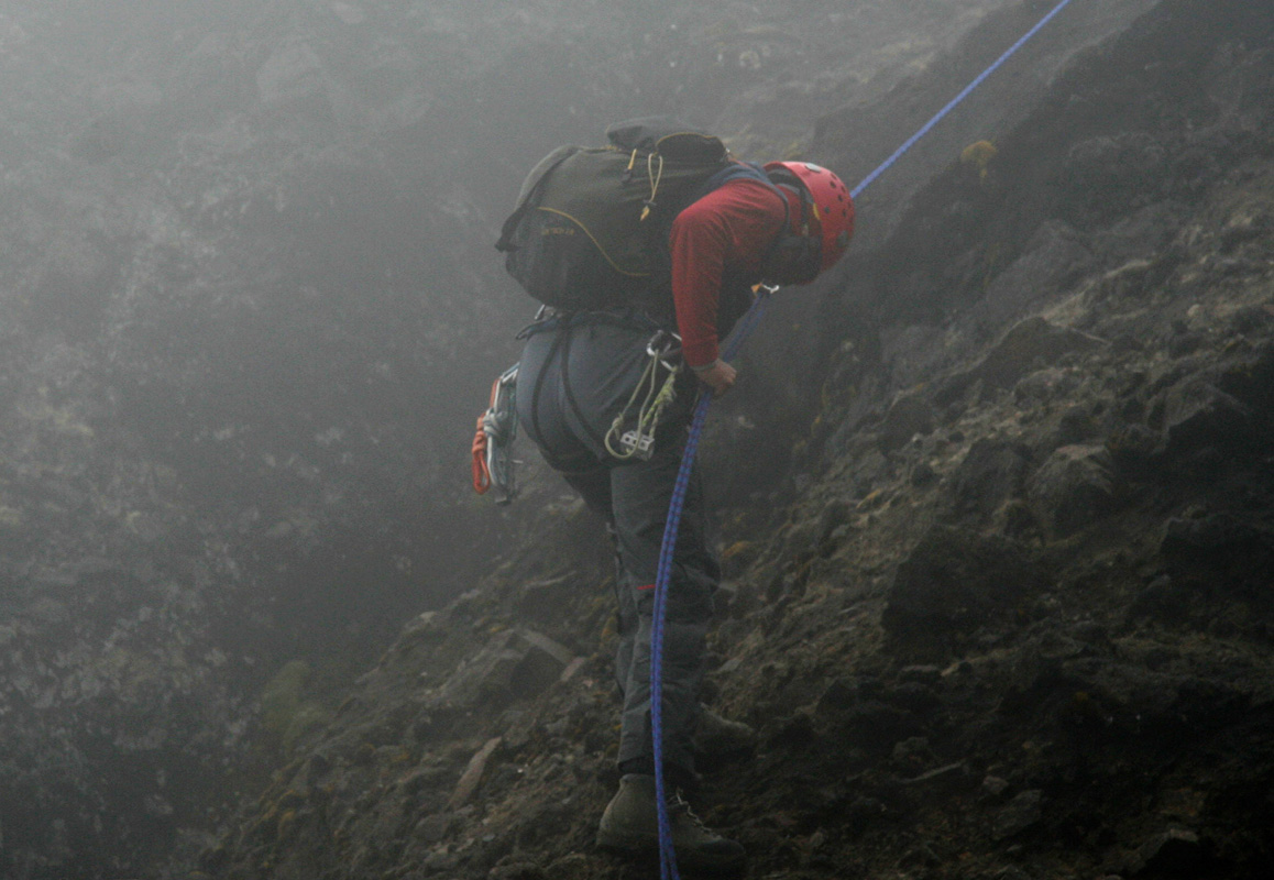
At the top of the climbing section, there was an old rappel anchor with an equally old backup. I pulled
out a new sling and told Diego that we rather use a new piece. He ok'ed and I abseiled down on a single
rope all the way to the steep protective rock wall across the gully. Half way down, another
"swoosh", rock came hurling by me, possibly released by the rope higher up. Scary, scary.
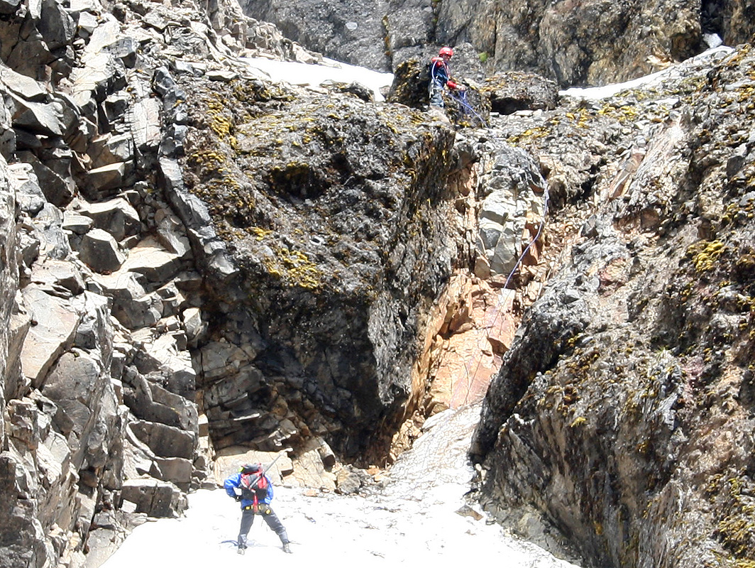
Diego needed to abseil twice, since we carried a
rather short climbing rope. On top of this, the rope was rather
unwilling when he tried to pull it down after his second rappel. Fortunately, the rope decided to
cooperate and Diego joined me below the steep rock wall. Here, he pulled my sling from his pocket
and handed it back to me. Diego !!, this was not good, I expressed my concern. He claimed the old
anchor was good and that it would be a shame to leave my sling.
We cramponed down the snow gully on noteably
softer snow and crossed the col. Before too long (at 1210) we
were back where Adam was (patiently) waiting. We thanked him for his patience and continued with
two easy rappels down the
slope that we had ascended unroped. We continued easily back down to
the col with the possible camp site and rested there before continuing down to
the trailhead reaching
it by 1305. Clouds were still
obscuring the fine summit that we had just visited.
The drive back down the terrible road went
fine and when checking with Rob, he was feeling
somewhat better. In fact, well enough to move. We therefore decided to drive back to
Quito and stay there overnight. Casa Helbling was fully booked, but we got a pretty nice
hotel, Cayman, only a couple
of blocks away. Rob continued to rest, while Adam and I went to our
favorite restaurant, Mama Clorinda, and celebrated with another nice meal.
Tomorrow, we shall travel to the base of Cotopaxi. A rest day is planned before
we attempt the really big mountains of Ecuador. Our planned stay is in the National
Park named Cotopaxi.
(This trip report continues there.)