Location: North N47:25.271, East 010:59.167 (GPS at the summit)
Difficulty: YDS class 3 (winter conditions)
Climbed August 8. 2005.
Information:
How to get there:
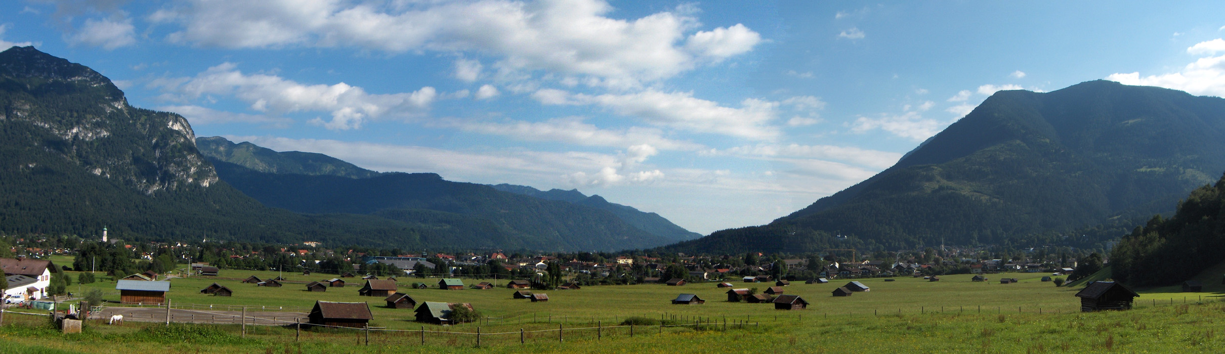
The starting point is in the German (winter) resort town called
Garmisch-Partenkirchen. This town can be reached easily from the
Munich international airport via Autobahn A-95 (about 70 km)
going south-west from Munich. We stayed in Gasthof Fraundorfer, Ludwigstrasse 24
(phone +49-88219270), this was very nice, however, the town has tons of places
to stay.
The roads leading into the valley Reintal are all closed to public traffic, thus the
trailhead is really in the village itself.
The official trailhead is located next to the Olympic Skistadium, however we started from
the Olympic Icestadion, this is only a slight variation to the overall route.
There is plenty of free parking near this stadion located at elevation 709 meter, location
N47:29.229, E011:05.646. Route description:
Note that this description starts from the "Eisstadion", a slight variation on the
official trail that starts from the Skistadion located further east. The initial part
of the trail from the Skistadion passes through a gorge, however this section was closed
when we were there. The trail from the Eisstadion does involve a bit more vertical gain since
some elevation gain is lost on a descent in Reintal. Overall, it does offer a very nice alternative
to the official trail. The entire route may be done in a very long day by strong hikers, however to
allocate 1.5 days is likely a better alternative.
From the Eisstadion (Ice Stadion (skating)), head directly towards the nearest hill along a small, straight
road that first crosses a railroad. At the end of this road you pick up trail P3 with signs for
Partnachalm. This trail leads across a small hill called Kochelbergalm and climbs to 973 m,
location N47:27.756, E011:07.102 at Partnachalm. You are now quite high above the Reintal valley floor.
From Partnachalm, continue along the natural road that runs further along the hillside. The signs will now
say Bockhütte. This forest road initially climbs a bit further, then has a rolling section with (small) uphills
and downhills before it mainly descends further into the Reintal and eventually
merges with the trail that initially
followed the valley floor (from the Skistadium).
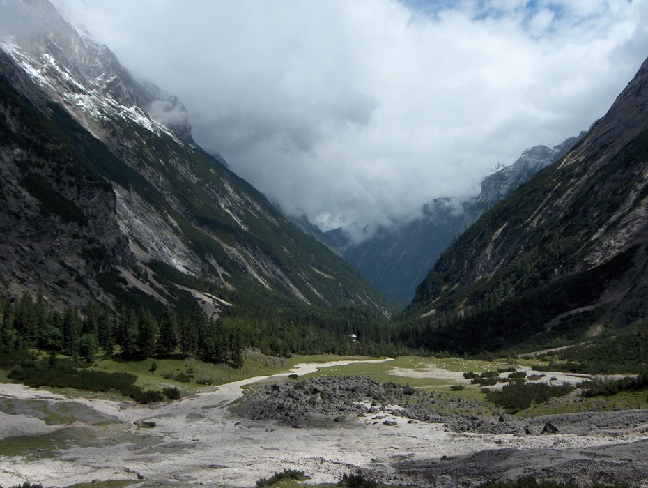
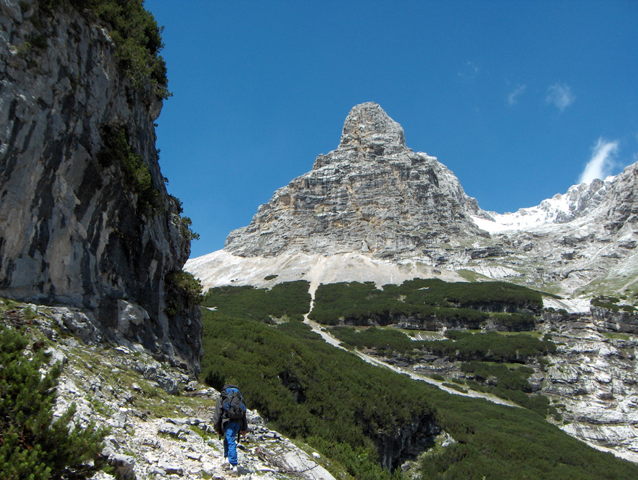
Continue following signs for Bockhütte, finally, the road ends and a good trail continues up the valley.
You are now near the valley floor, the river has dug a deep, narrow gorge at this point where the trail descends
along steep cliffs. The trail is very pleasant as it crosses the river, then crosses back just before arriving
at the Bockhütte. This hut is not a place to stay overnight, but it does have a nice selection of food
and drink for sale to hungry/thirsty hikers.
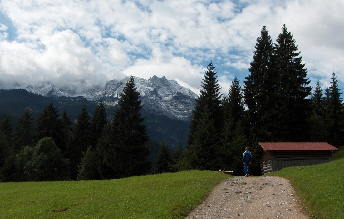
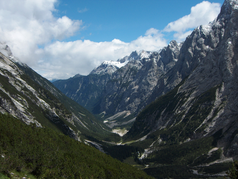
From the Bockhütte, continue along a nice trail up along the Reintal valley. Gradually, the trail climbs,
more distinctly up on the right side of a nice waterfall. Shortly after the waterfall you arrive at the
Reintalangerhütte. This is a nice hut that provides accommodation as well as meals (phone: +49-88212903).
This hut is located at 1366 meter, N47:24.934, E011:01.970.
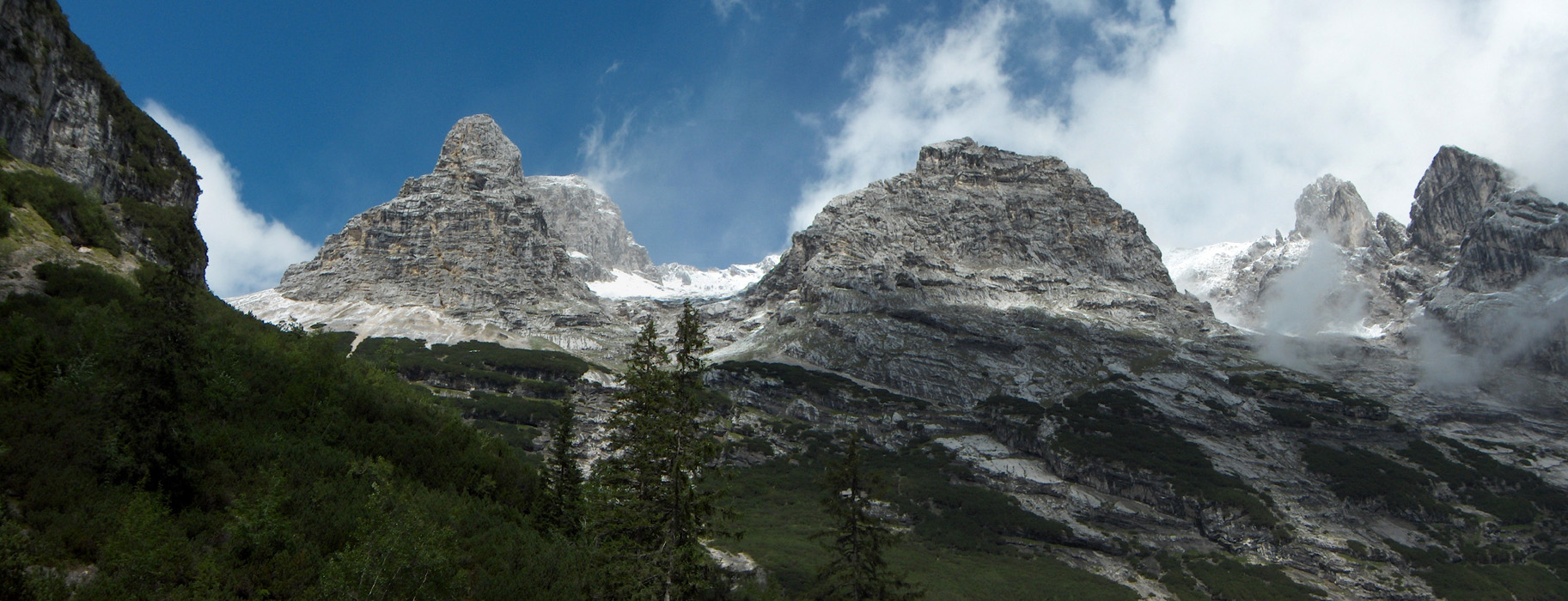
From this hut the route continues across the river, then up and across an open field before ascending a small
ridge (gravel) in order to traverse right and enter a distinct valley located above what can best be described
as a step in the terrain. From this little valley, the trail forks right and
zig-zag up the somewhat steeper slope in order to reach the Knorr hut
at elevation 2051 meter, location N47:24.605, E011:00.775. This hut also offers meals and
accommodation.
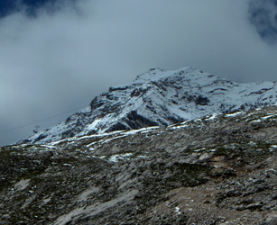
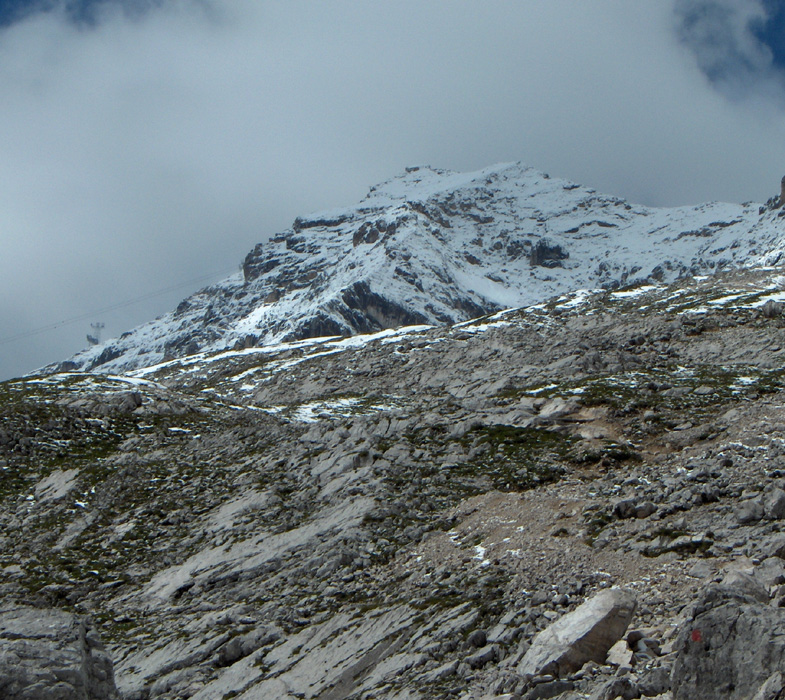
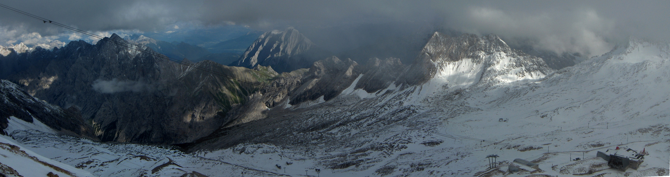
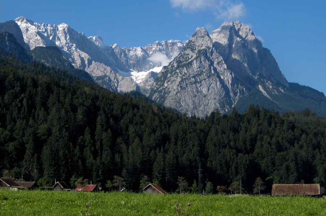
Shortly above the Knorr hut, Zugspitze finally comes into view on the horizon forward on your right hand side.
The trail first continues up to a rather flat area near a station of one of the cable cars that provides service
to the summit. Right ahead you will see two short ski lifts and a little up on the slope to your right is a rather
large building that most likely also serves skiers in the winter season.
To this point the trail has been mostly YDS class 1 with a few steeper sections that may be classed as YDS class 2.
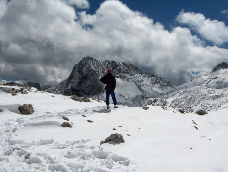
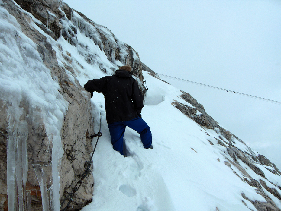
From here to the summit, the trail is somewhat steeper and largely secured with fixed cables. Unfortunately,
everything was buried in deep (new!) snow when I did this hike, so what follows is a description based
on the (very bad) conditions that we had. Under dry summer conditions the remaining part of the trail may
possibly be just YDS class 2+ (with the cables). As a winter climb with ice and partially buried cables the
climb is YDS class 3.
Continue from the flat spot more or less directly under the wires for the cable way, diagonally up in the direction
of the large building on the lower slope of the mountain. As you approach this building you will see the
route as it is marked by the cables. The route traverses uphill away from the building (right), then climbs further
with several zig-zag turns, largely following ledges and natural features in the rock. There are a few alternatives
here and they are all of similar nature. Eventually, the route tops out on the main ridge and then follows this, sometimes
a bit on the right hand side, to the summit. The Hoellental route, starting in Austria, merges in from the other
side of the ridge (on your left) a short way before you get to the (not so nice) buildings on the summit.
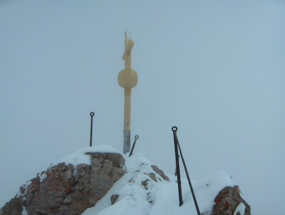
The summit of Zugspitze (highest point) is located opposite of the buildings as you arrive. Traverse across and
complete a very short scramble (with one short ladder) to reach the highest point in Germany. Comments:
I did this climb with my son Pål Jørgen, age 16. We started from the Ice Stadium at
0900 and reached the Bockhütte after 2 hours at 1100. We took shelter for the rain and had
lunch here until 1130. The continued hike, now without rain, got us to the Reintalangerhütte in
another hour at 1230. We pushed on, but took a 15 minute break on the next slope, then reached
the Knorr hut at 1400 where we again took a 30 minute break and enjoyed their good soup.
Our hike resumed at 1430, we still had not seen Zugspitze and I realized that a single day
roundtrip might be difficult to complete. However, we had a reservation at the highest hut in
Austria (on Grossglockner) for the evening the next day, so better get this mountain in view
fairly soon. We quickly saw our target, but also a lot of snow, getting deeper for every step
moving us higher. There were footsteps to follow, but alas, as we got to the cable car station,
it became clear that these people had indeed taken a ride from here to the summit. There was not
a single track or step leading from here and upwards.
After pretty hard work in deep snow on an iced up mountain engulfed in fog, we finally arrived
at the summit at 1715. The last tourists had been transported off the peak quit a bit before we
arrived and only two "guardians" remained behind to prepare for a new day. They were definitely
not pleased to see us climbing up on "their platform" in pretty bad weather. I headed straight
for the true summit, there were signs saying that this section was "closed off", to tourists
perhaps, but definitely not to the only two that had scaled this peak on foot today. We climbed
under and over the barriers and proceeded to the true summit. I told Pål Jørgen
that we should ask for some additional water and he replied: "first we must make friends with
these two guys up here." It turned out that he had met them without my company and they had
clearly expressed their anger to see climbers arrive at this time. Well, we stepped inside and
they got a bit more friendly, supplied a mug of water, then looked on us with disbelief when I
told them that we would soon start our descent. "Descent !", they exclaimed, "you are not going to
descend now?" "Of course", I replied - "this is definitely not where we plan to spend the night."
We left the summit at 1745, our tracks were still pretty good and the descent went swiftly and without
any incident. We reached the Knorr hut at 1915 and proceeded to Reintalangerhütte, arriving
there at 2005. We decided that a good dinner and a night sleep followed by an early morning
hike out would be a better scheme than arriving back in Garmisch around midnight and then very
exhausted.
Our stay in this hut was very pleasant, a good dinner followed by nice evening music and a couple
of good tasting beers. We had an early morning breakfast the next day and departed at 0655, walking pretty
fast we were back at the car in Garmisch-Partenkirchen already at 0925.
Our E5 trip was now ready to move to its prime target Grossglockner,
the highest peak in Austria.