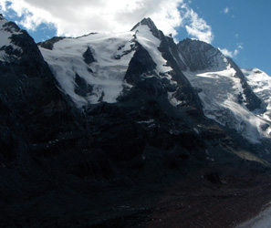
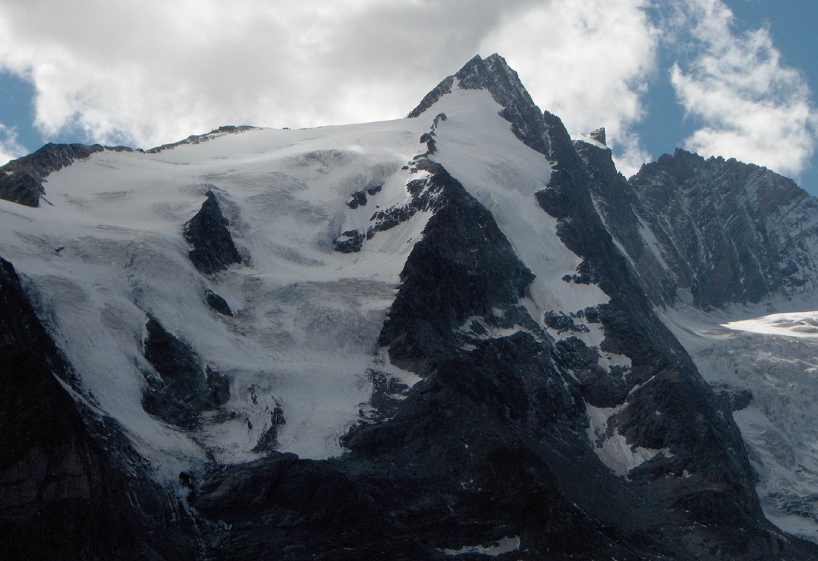
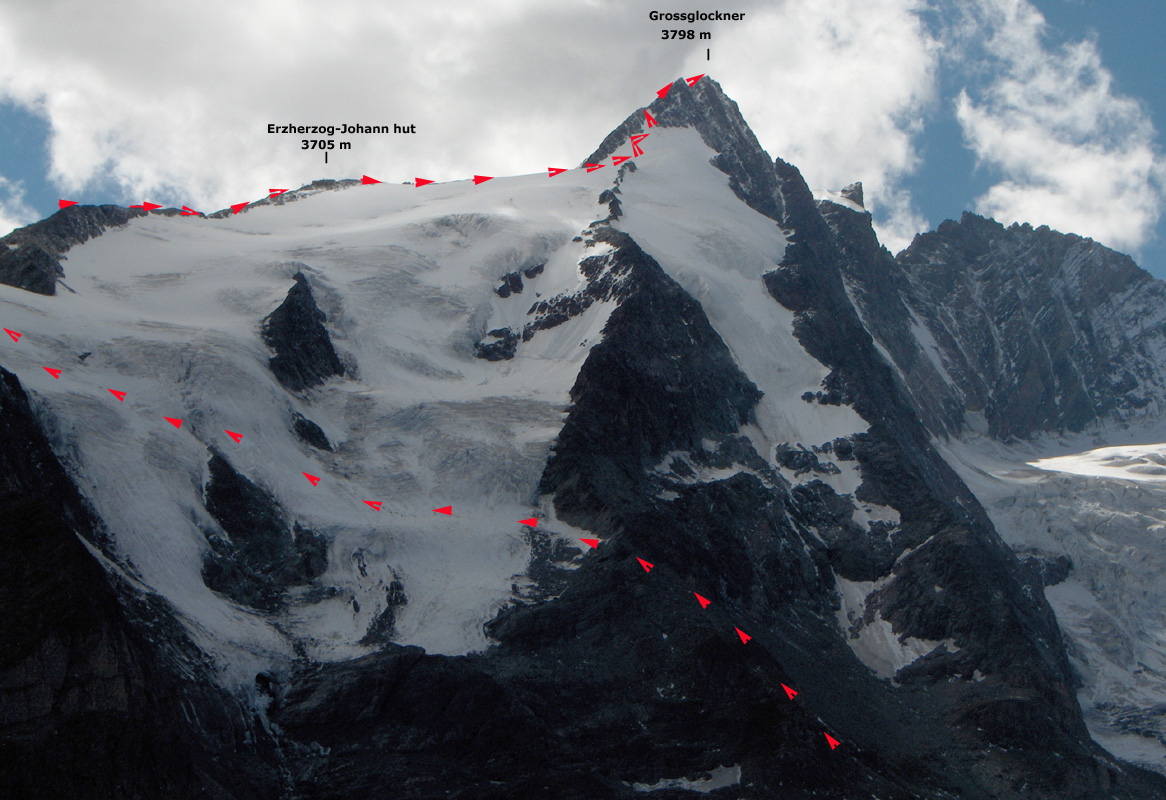
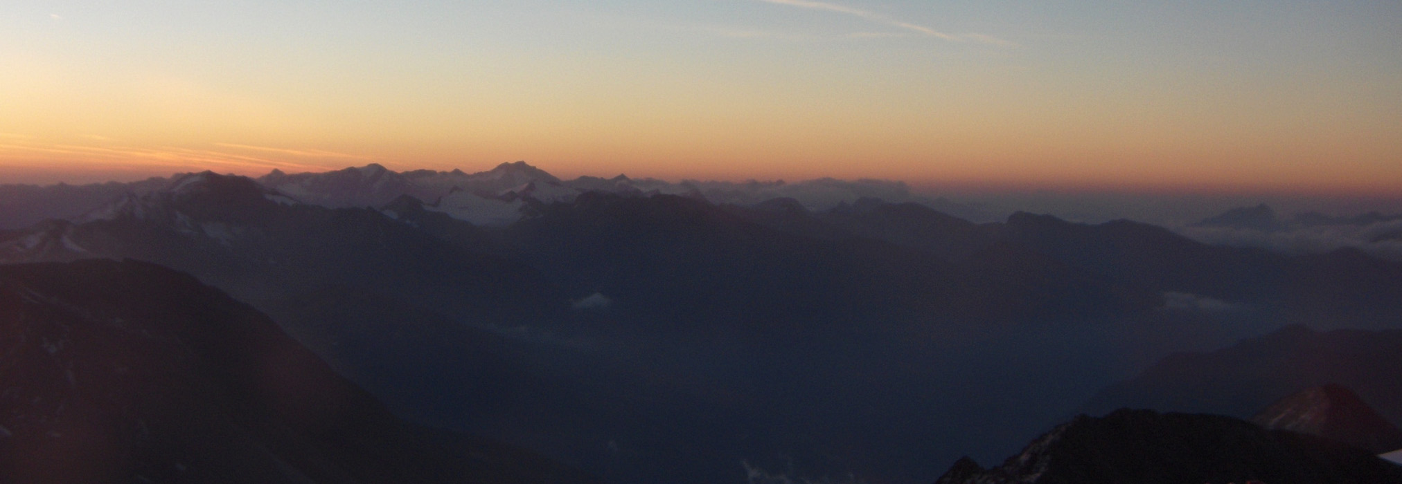
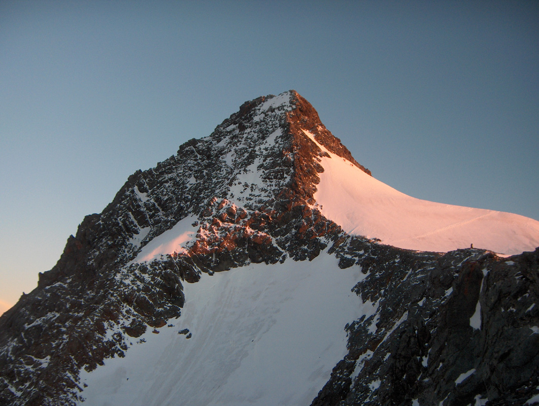
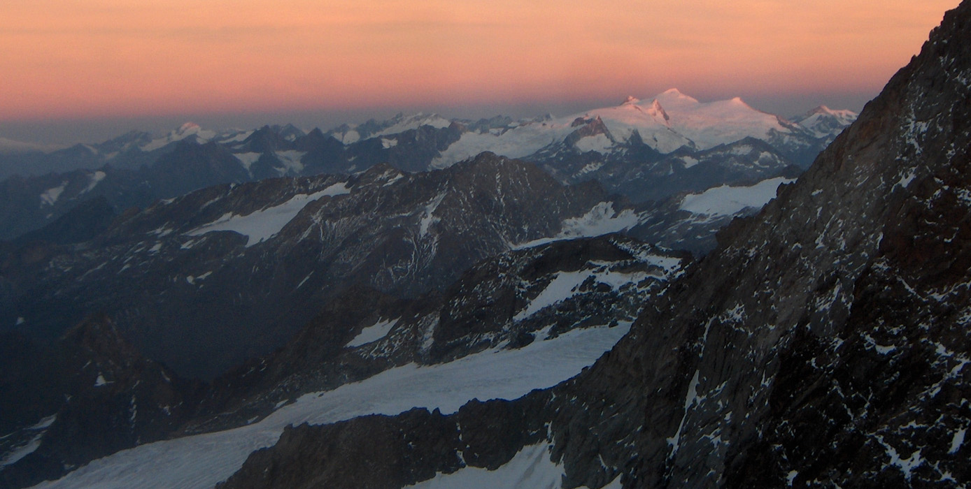
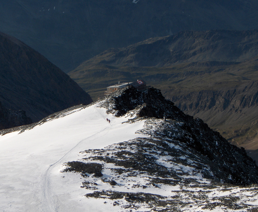
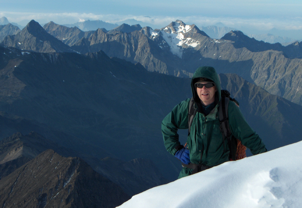
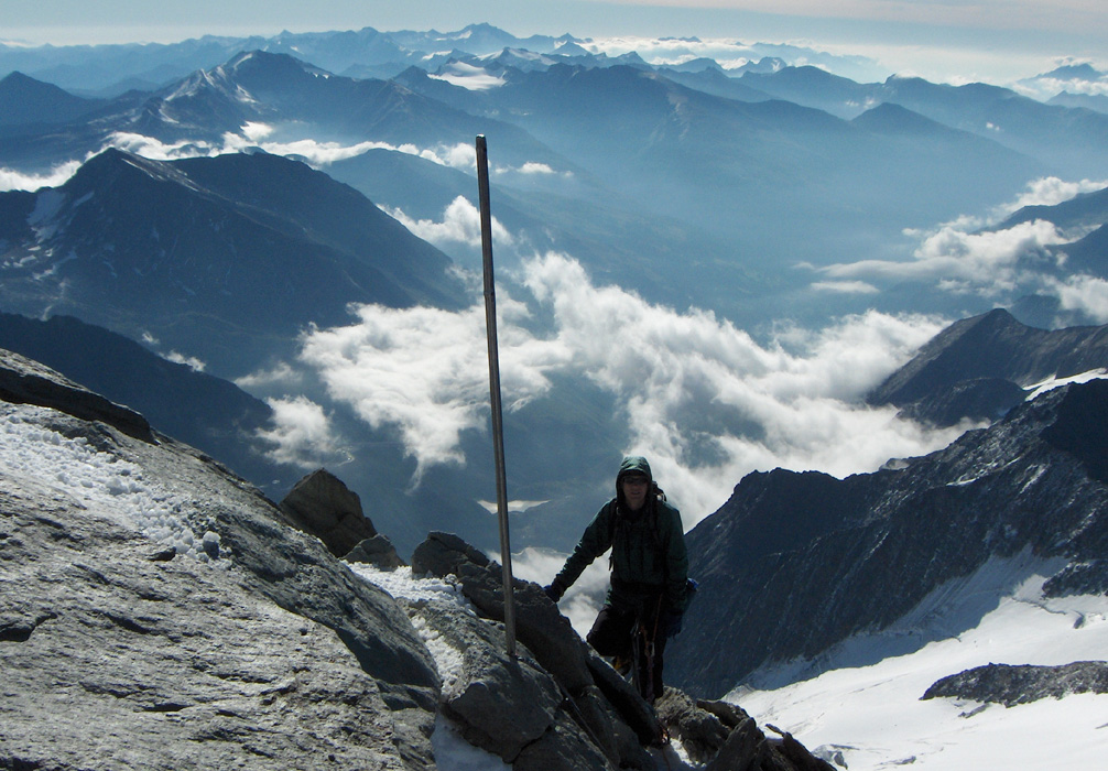
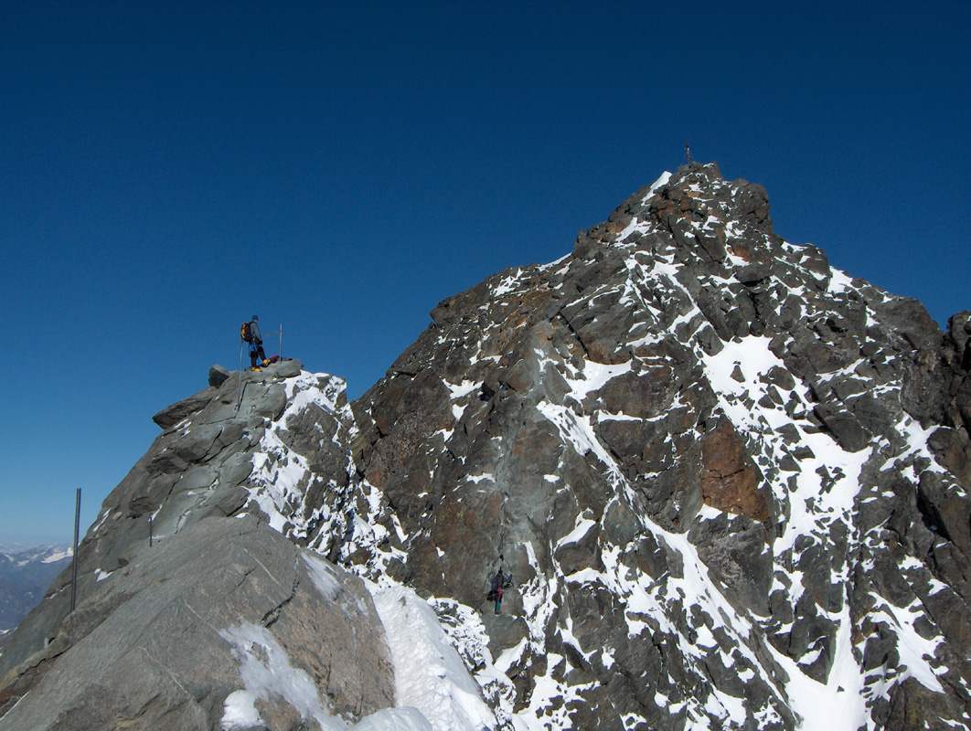
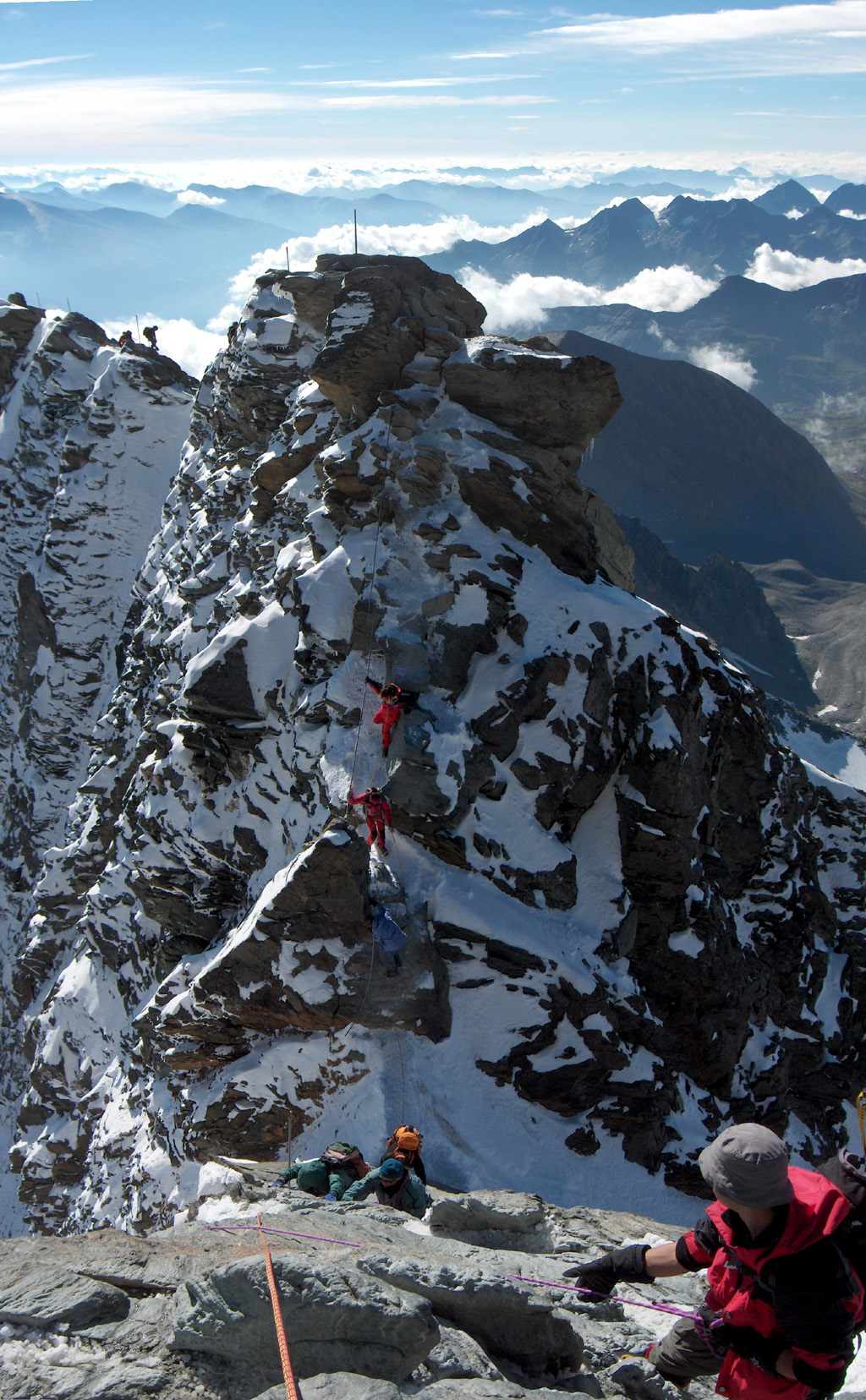
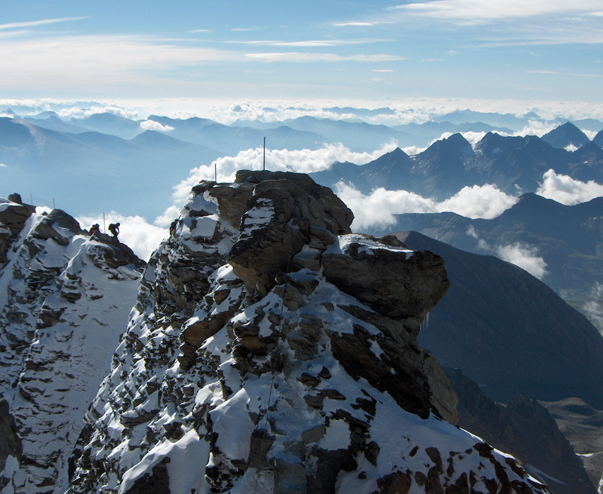
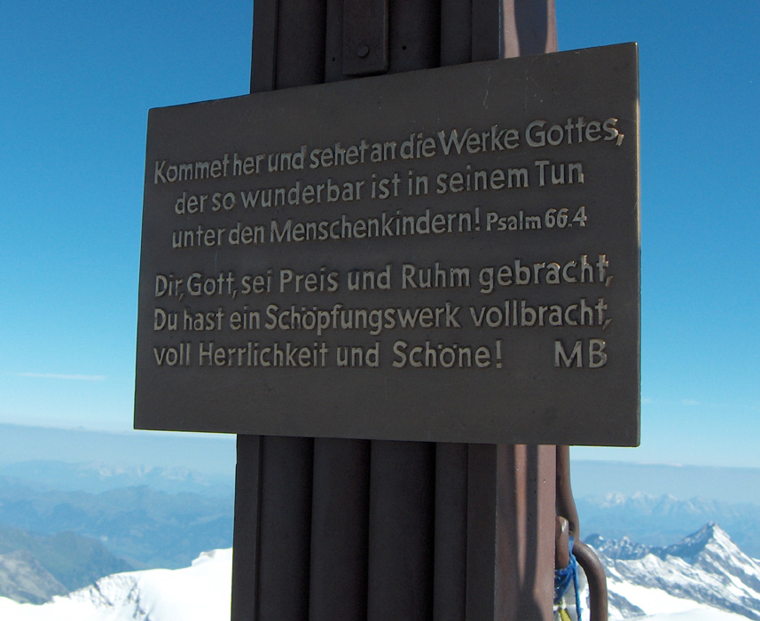
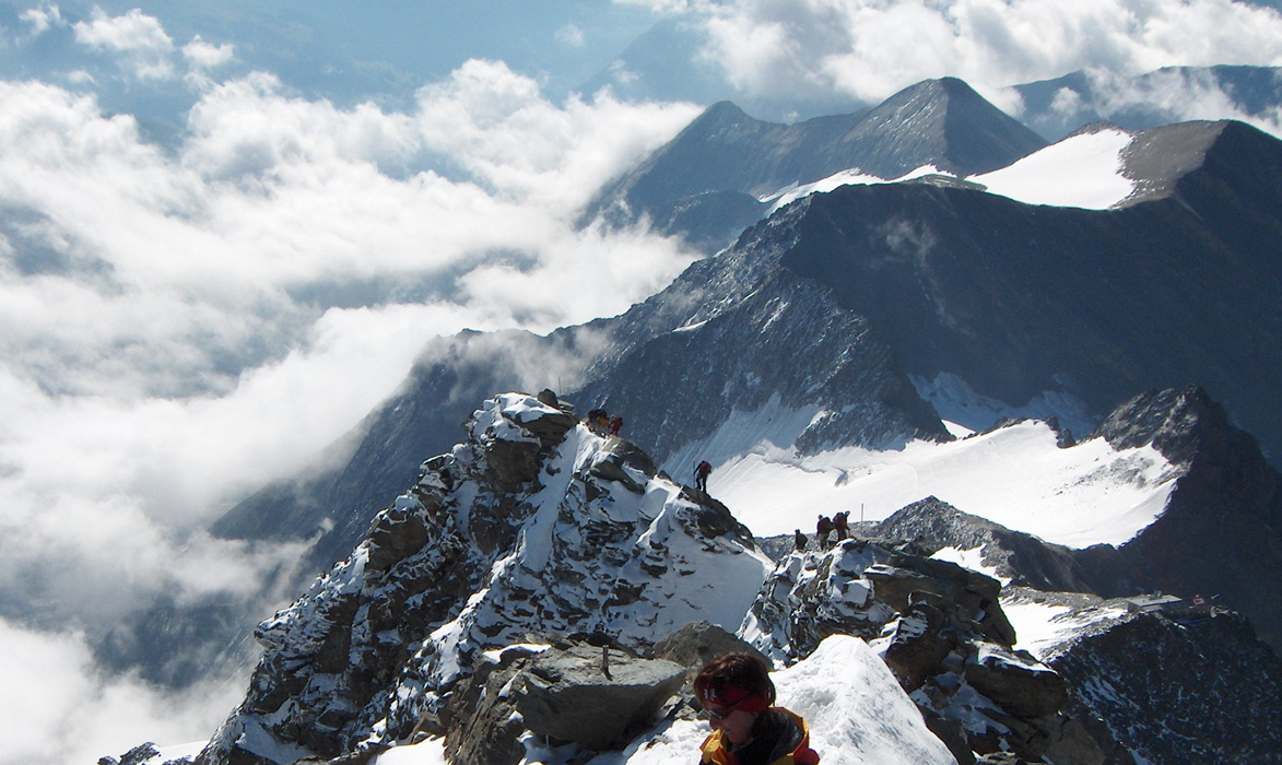
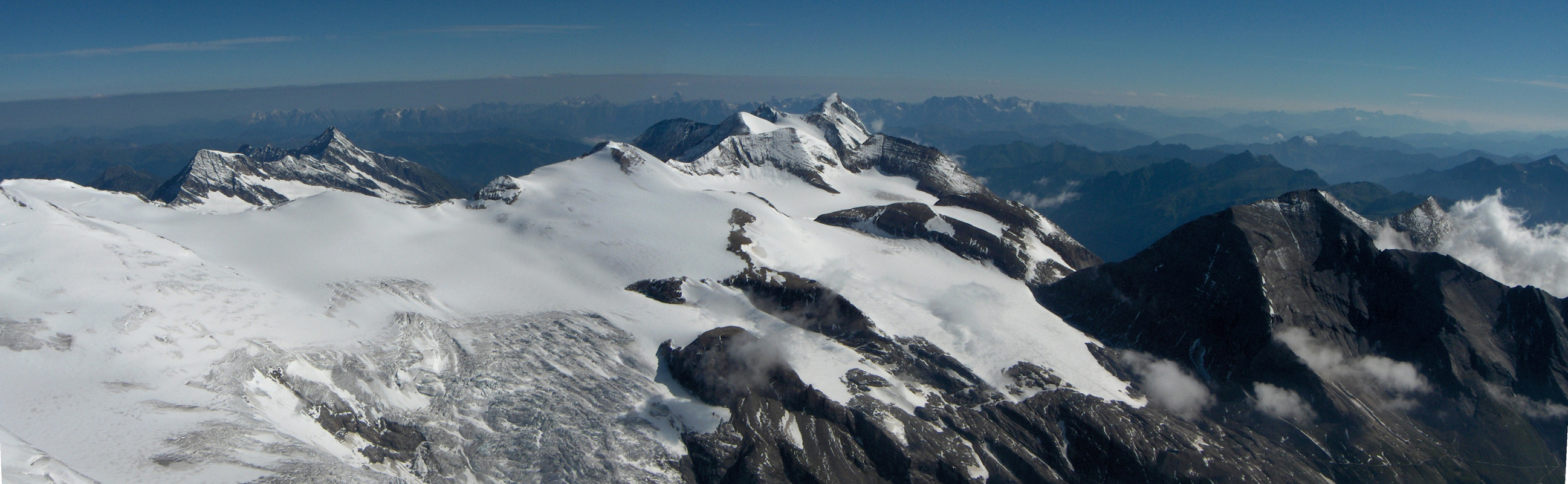
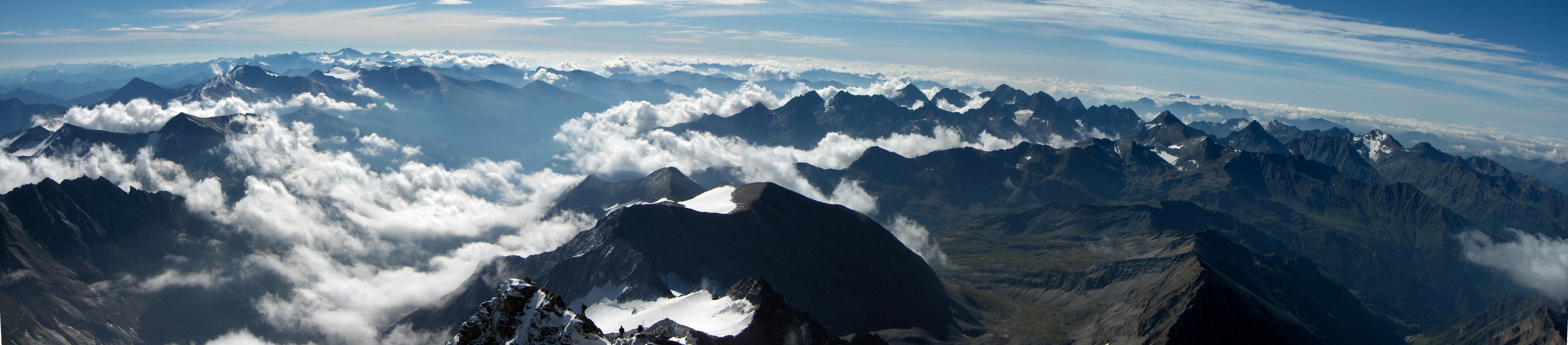
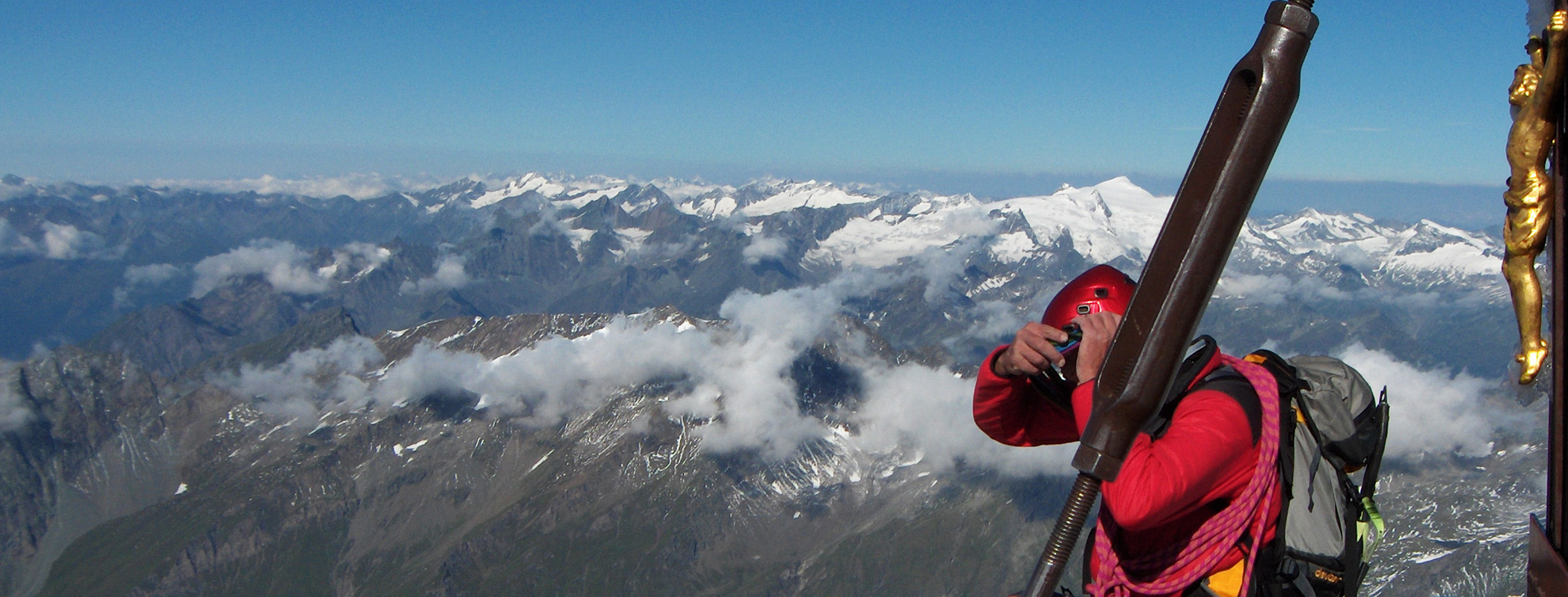
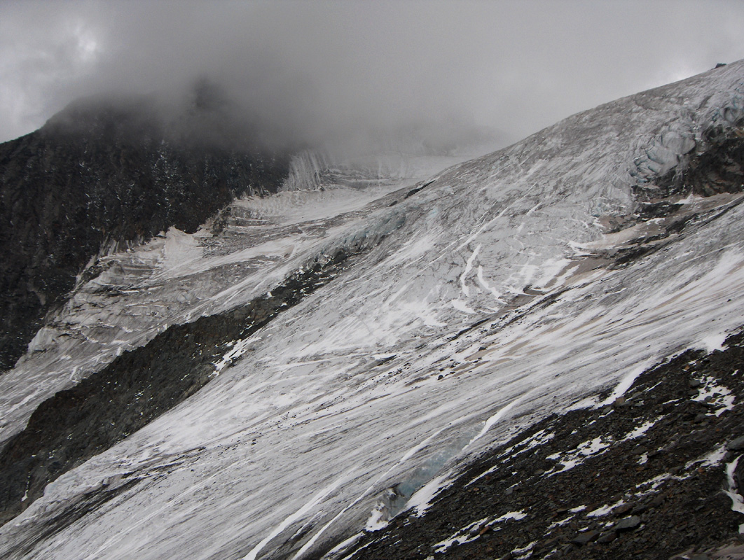
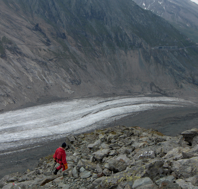
Grossglockner

  • Grossglockner
  • 3798 m.
  • Primary factor: 2423 m
  • Location: North 47:04.476, East 012:41.626 (GPS at the summit)
  • Austria HP
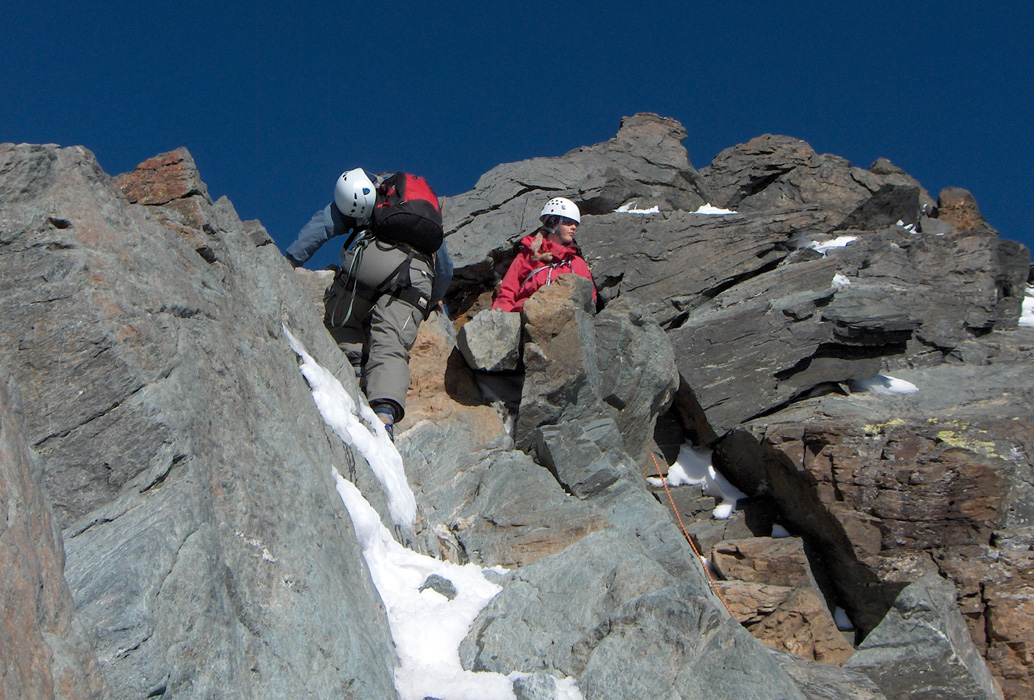
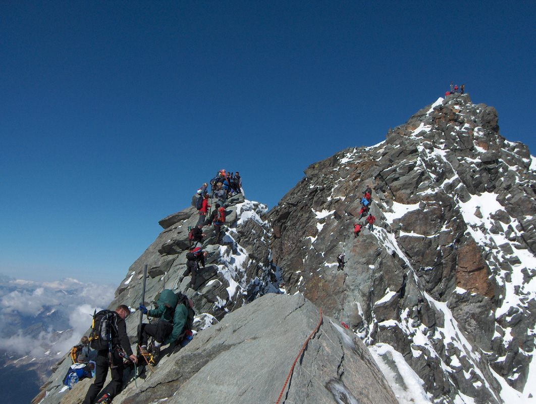
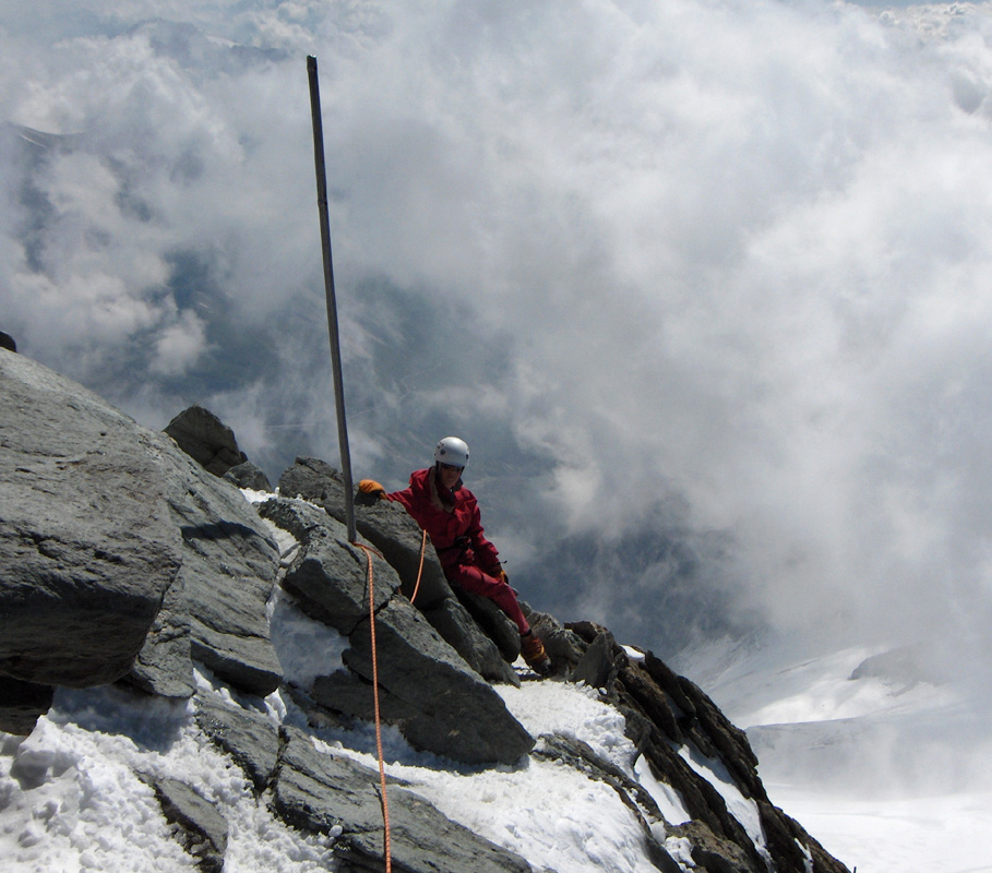
  • Difficulty: Alpine PD, steep ice, crevasses, UIAA rock II, YDS class 3, but very exposed.
  • Climbed August 10, 2005

Information:

How to get there: From Munich, drive E-45 (A-8) south-east, then south to Kufstein. Take Hwy. 173 south (left) in order to connect with Hwy. 132 to St. Johann. From St. Johann, go Hwy. 164 to Saalfelden, then turn south on Hwy. 311 to Zell am See. Continue south, the Hwy. now has signs for Grossglockner. This Hwy. is a toll road with very nice views as it climbs high across a pass east of Grossglockner, then descends into a valley before you locate and take a right turn signed for Grossglockner and Franz-Josef Haus. This is a tourist center with short walks, shops, nearby hotels etc. There is a multifloor parking garage at Franz-Josef Haus where you park free of charge. The view area outside the garage is the trailhead. Elevation 2368 meter, location N47:04.515, E012:45.048.
Route description: This description covers the route starting from Franz-Josef Haus. It seemed that the large majority of climbers now use another route (see for example one of the pictures below). The route from Franz-Josef Haus has become somewhat more difficult due to glacier shrinking, there may also be an increased danger of rockfall in late summer compared to earlier years. Easier (and shorter) routes to the Erzherzog-Johann hut exist from both the Stuedl hut and the Salm hut.
Hut climb: From our trailhead, locate the entrance to a small funicular that ferries tourists down towards the large glacier at the bottom of the cliffs. This right from the main viewing area, do not walk into any tunnels. Descend the steps to the tip of the glacier at elevation 2100 meter, location N47:04.485, E012:44.719. Hike across the glacier on a diagonal course, in such a way that you are roughly straight across from the Hoffmann hut. First on a largely crevasse free flat glacier, then across a part of the glacier that is completely covered by rocks. The trick is to find the faint beginning of the trail on the opposite side.
This trail starts at elevation 2242 meter, at location N47:04.688, E012:43.506. If you face the mountain, a pretty distinct, steep gully caused by local erosion, should be right in front. There is a pretty large rock almost at the top of this gully. Ascend the first slope along the left side of this gully, you should see small cairns and a faint trail here. Higher up, the trail traverses right across the upper part of the gully. The trail becomes more clear as you go and there are some large cairns in this area. After a slightly more gentle section, the trail again climbs steeper and one may again loose the way, since most people may believe that it is headed towards a local horizon up to the right. This is not the case, locate a steep gully above you that seem to lead nowhere. The trail climbs the left side of this gully, then traverses right and exits the gully along a rock ledge. The trail is, quite needlessly, secured with a fixed cable here. In this way, you enter the next step along this trail. From here on the trail is very clear and well marked with paint and cairns. The trail climbs more left, then enters a ridge that ascends higher with a glacier on the left side. From here on, the route is well marked on a picture below.
The trail eventually runs into the glacier in a place where access is easy. The route now follows an ascending traverse across this glacier in order to reach an area of the glacier that is less steep on the opposite side. There may be some natural rock fall danger across the first part of this section. Then follows the crux of the approach hike, steep ice that gets much steeper below. The ice has frozen rocks mixed in that makes safe walking a careful exercise. When we descended this section, we had a party of two climbers a bit behind us and they experienced two falls, fortunately, each time succeeding to self-arrest before pulling the other climber off balance.
This is a dangerous section and parties must be very careful. Higher up, the glacier is much nicer, however, there are a few crevasses that must be crossed or navigated around. A rock ridge from higher up is cutting into the glacier, the best route stays on the glacier (to the left side of the rock ridge) all the way to a saddle. From here, one first climbs the ridge (easy walk) then follows it upward. It gets quite narrow just before a step where a short downclimb is required. There is normally a rope here, the climbing is actually quite easy with good holds for foot and hand.
What remains is now an easy hike up the last slopes to the highest hut in Austria - the Erzherzog-Johann hut.
The Grossglockner climb: From the hut, head up to the snow and ascend the first slope from left to right. Above this first slope the snow is more level a short section. The route follows the snow slope all the way up to a small notch on the ridge. The snow gets more narrow and somewhat steeper the higher you climb. The route runs close to the rocks on the right side at the final stretch before attaining the ridge. From the small notch, climb more or less straight up on the ridge in order to gain a more horizontal section of the ridge. There are fixed belay points along the way, some eye-bolts, then fixed metal poles (see pictures below). Continue along the very exposed top ridge to the top of Kleinglockner, a small summit separated from the main summit by a fairly deep, distinct col. Downclimb to this col (there is a fixed cable here), then step across the narrow snowridge to the opposite side. The first pitch on the other side (up again) looks pretty steep, but the climbing is easier than one might expect with good holds for feet and hands. Higher up, the rock is less steep and the summit is now easily reached.
Comments: I did this climb with my son Pål Jørgen, age 16 and Esquared (Edward Earl), an Internet friend from San Diego. We arrived at the Franz-Josef Haus (a big parking garage at the end of the road) around 1630, then wasted about 15 minutes on a bad advice from the official information office that said we had to go through the tunnel in order to get access to the trail to Grossglockner.
We started down the correct trail at 1645 and arrived at the Erzherzog-Johann hut just as darkness arrived around 2115.
Despite our late arrival, our reserved space was excellent and the staff served us soup followed by a main course. We quickly went to bed and got up for breakfast around 0600 the next morning. By 0700, the sun was shining and the day looked very promising as we set out up the initial snow field.
We climbed unroped to the notch on the ridge, then went on a running belay with Pål Jørgen in the front and Edward as the last man. Unfortunately, there were a few teams that seemed to be in a great hurry and rushed in a rather rude fashion. They would pay little respect to other climbers and overall the progress slowed because of the resulting need to sort out crossed ropes etc. In fact, the single biggest risk factor on this climb was likely to be other climbers that might interact with you in a somewhat unpredictable way should a mishap occur. Just before the summit, I used a last carabiner that also held an ice screw. When Edward came there, he asked if this could just remain in order to be used again very soon on our descent. However, when we descended another climber had stolen my nice (Black Diamond) screw. Thus, the people that climb this mountain include thieves as well as unpolite folks that show almost no respect or consideration for other climbers. I am pretty certain that this would not be so in Scandinavia or in the USA. Austrian/German climbers as well as some from the former Eastern Europe clearly have a few lessons to learn before they master what I consider normal, considerate behavior.
Edward, just being polite to other teams, ended up being stuck quite frequently. At the saddle between Kleiglockner and the summit, he suggested that we leave our crampons before what looked like a short rock pitch. I decided to follow his example, while Pål Jørgen went ahead and climbed with crampons. Upon our return to the saddle I came to the conclusion that we should have kept the crampons on. Not because the extra time it took to reattach them to the boots, but because of all the teams that kept passing us and all the complications and delays that resulted from this. The somewhat sad lesson was that a few "polite teams" would just get delayed too much, since it is hard to move well as soon as another team is passing you with their rope easily getting entangled with yours.
We reached the summit at 0930, took pictures and enjoyed the good view until 1000, then headed down and were back at the hut at 1200. We left the hut at 1245 and made it down the steep glacier and back up to our parking by 1630. It should be noted that as we just had completed the descent on the glacier, a good sized rock came from above and crossed our path on the fairly flat initial area of the glacier (when viewed from below, see picture). This rock shows that natural rockfall may be a problem on the lower part of this glacier route.
We travelled together back to Zell am See and had a good dinner to celebrate the ascent of the second most prominent peak in the Alps. The next morning our ways parted, Fora needed to go back to Sweden, Edward was headed to Mont Blanc, but wanted to give Zugspitze a second try when he passed there (Edward had taken the cable-way, but was not even allowed to get onto the highest rock point on the day when Pål Jørgen and I had climbed it.) Pål Jørgen and I wanted to climb another very prominent peak, Hochkönig later in the week.

Resources: