Location: North 40:27.742, East 025:35.080 (GPS at the summit)
Difficulty: YDS class 2
Climbed July 10, 2010.
Information:
How to get there:
This mountain is a little isolated relative to most European climbers.
Located on Samothraki, an island that mainly consists
of mountains.
In the summer of 2010, there was only one boat (ferry) serving the island
of Samothraki, with mostly only a single departure (each way) per day.
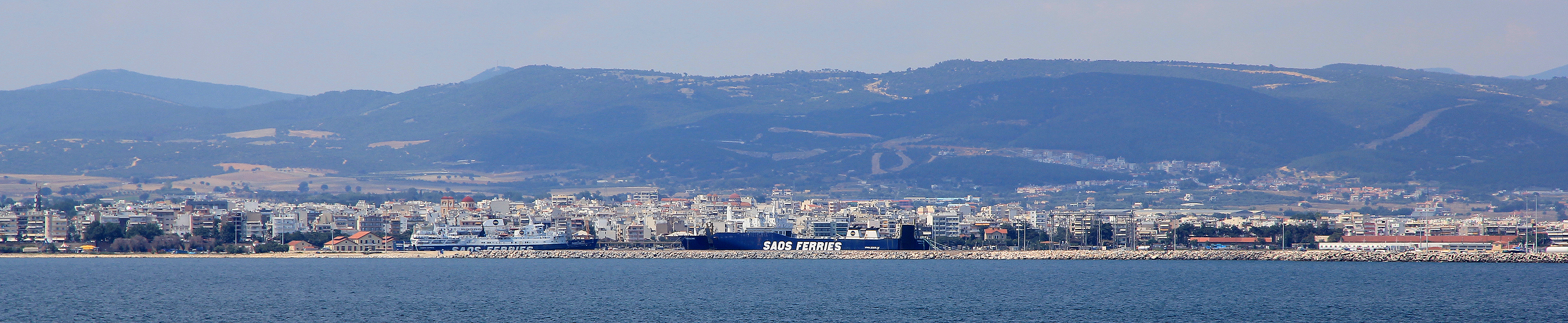
This ferry connects the island to the city of Alexandroupoli, a pretty nice
Greek city located on the coast, very close to the border with Turkey.
One can drive to Alexandroupoli from Thessaloniki (The second largest city of
Greece with good airline connections to the rest of Europe.) in about 4 hours.
In Alexandroupoli, locate the seaside road that runs next to the city "lighthouse",
a nice and decoraative tower. Turn right in order to get to the ferries. There is also
a large free parking area on your right before entering the ferry area. You can buy tickets
for the ferry at an agent named Sever Travel, that has his office just across the main road from the lighthouse
(actually cross the street going just slightly right.) This office is open until 2100 on
weekdays (at least in the summertime). The one-way fare is about Euro 14 (adult in 2010), to
bring an ordinary car (less than 4.25 m in length) was Euro 60. The ferry takes 2.5 hours
to cross from Alexandroupoli to Samothraki. The ferry schedule changes frequently and departure times
are not the same every day, this needs to be checked just before you plan to go.
The boat arrives in the village of Kamariotissa, near
the west end of the island.
From Kamariotissa, drive along the north side of the island to the small place called Therma.
The distance from the ferry should be 13.2 kilometer, here the road forks (in a right curve),
keep right and drive 0.6 kilometer along a straight road, gently uphill. You should now
be at location N40:29.858, E025:36.208, elevation about 41 meter. Turn sharpy right and
drive up a nice driveway that
looks as if it is just serving the building, however, turning
right you will be at the beginning of a pretty nice dirtroad. If you do not have a car, then perhaps
you will start your hike at this point. This dirtroad is in good condition and can be driven
by an ordinary car. At elevation 102 meter, there is a fork, keep right, following the road that
heads uphill. Higher up you will pass two antennas, even higher the road gets more level and
there is nice parking on your right, you will see two (farmers) buildings nearby. This is the
(upper) trailhead, location N40:29.479, E025:35.465, elevation about 300 meter.
(Note: Elevations above are 6 meter lower than my GPS showed as it measures 6 meter at sea-level in
July 2010.)
Route description:
From the upper trailhead, the trail starts out slightly
right, just before the very
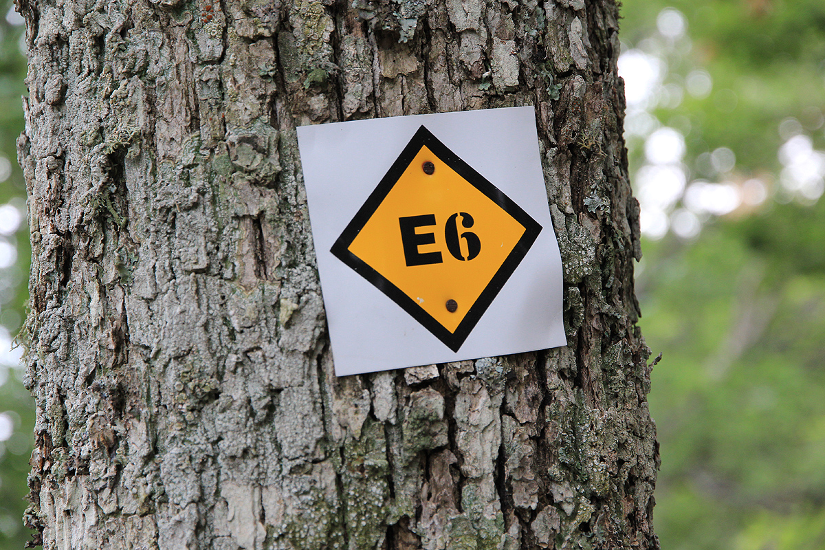
end of the road. The trail is marked
by E-6 symbols (a long "trail" starting from
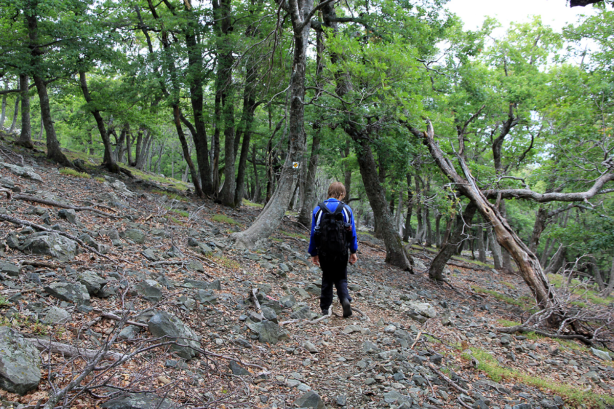
northern Norway/Finland and actually ending on the top of Fegari. You cross into a small
canyon and climb out on its left side higher up. This trail is very distinct as it climbs among
trees to reach a big tree at location N40:29.226, E025:35.629, elevation about 490 meter.
From here, the hillside has big, but scattered trees and
virtually no vegetation on the ground.
The trail first makes a long uphill traverse left (when looking uphill), then zig-zags gently
up the nice and easy slope until you reach location N40:28.589, E025:35.111, at about 1045 meter
of elevation. Next follows a more or less horizontal traverse going left, where you cross two
creeks that runs in a pretty distinct (little) valley, before reaching a very prominent shoulder
(small saddle) at location N40:28.354, E025:35.454, elevation 1140 meter.
Note that our map
of the island showed the trail going uphill on the west side of the creek, this is highly
inaccurate!
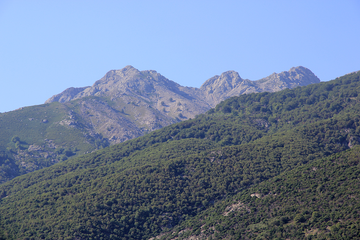
From this shoulder (there is a pretty big pile of rocks there), turn sharply right and
continue up the very broad ridge that heads uphill. The trail is now marked by (old) red paint
on various rocks as well as by small cairns here and there. You cross into more talus as you
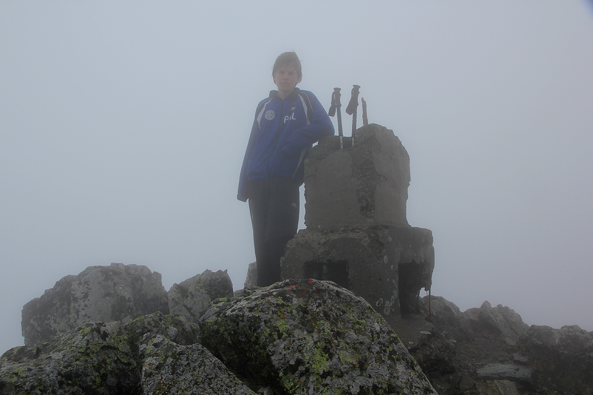
get higher and the terrain gets slightly steeper higher up. Continue until you gain the point
marked as 1584, a small (cement) pillar marks
this point. From here, follow the red paint as you
traverse along the top ridge. Sometimes at the very top, sometimes slightly below and then
mostly on the left side of the top. This ridge is fairly narrow in places, but there are no
difficult point as you move a bit up and down along this section. It is best to follow the red
painted route pretty carefully. After a while, the ridge becomes somewaht flat and much wider,
the highest point being up front on a final, but distinct hump.
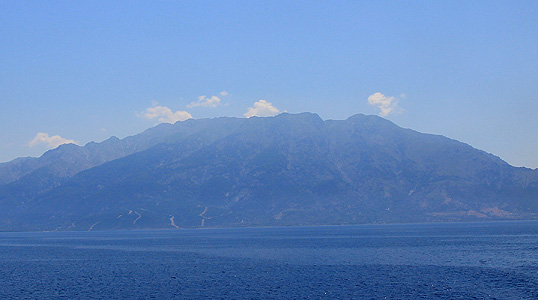
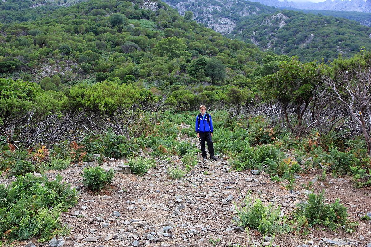
To summarize, much of
the route to Fegari can be seen in this picture.
The dirt road climbs higher than the comunication tower. Next, you see the ravine where the trail
crosses to the next (left) broad ridge and climbs among trees. Higher up, the route traverses left
and crosses the gully (with a creek), to gain the shoulder on the next, broad ridge. Finally, the
route runs up here, out of vegetation and then to the first small rock point. From here, traverse
along the ridge and gain the highest top which is to the left in this picture.
Comments:
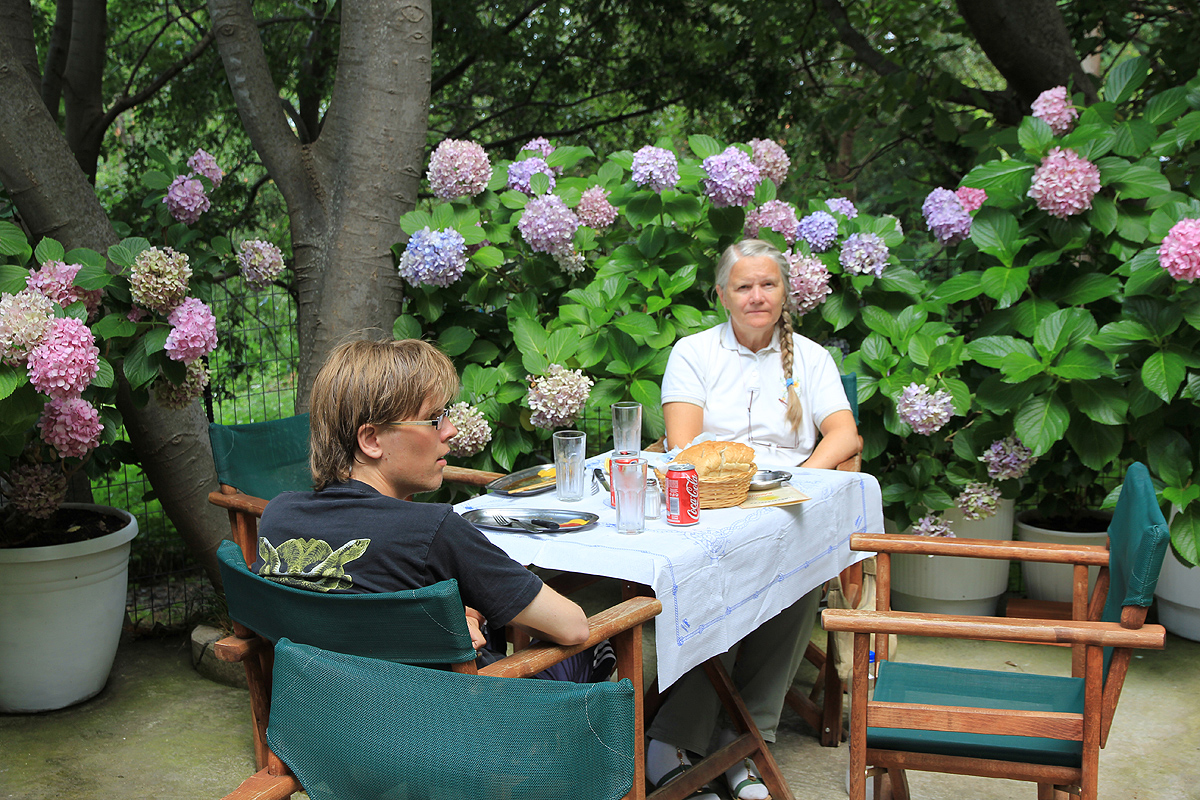
We stayed at the
nice Kastro hotel, phone +30-25510-89400, kastro@kom.forthnet.gr, www.kastrohotel.gr .
We had already explored large parts of the island after
arriving the day before. Dinner at Taverna Karidies, located in Ano Meria, an
interesting restaurant as one almost needed a
4x4 SUV to drive there. We shared three different goat dishes, the place had about seven variations
on the menu.
Getting up around 0520, we arrived at the trailhead around 0545. Actually, what we believed would be
the trailhead, a small road extending steeply uphill from the upper part of Therma. This road leads up
towards a watertank, then turns left to serve a house. After looking
around,we spotted a big cairn just above the house, pretty close to the highest this road would take
us. We noticed a big error on our map, since it had a white road extending upwards to 300 meter, while
this road topped out well below 100.
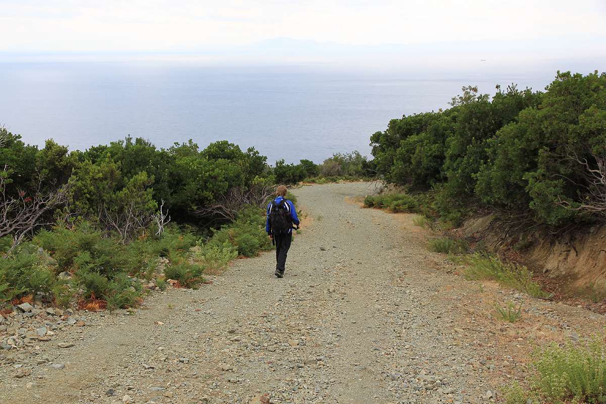
We were on our way around 0600.
We followed this trail as it climbed the hillside. Obviously, not in heavy use as we lost the trail
temporarily a few places. A quick search uphill and to the side always got us back on the trail. Higher
up, we entered the broad ridge having trees, but no vegetation on the ground. We noticed that the trail
was better marked in this area (where you cannot go wrong). At around 1000 meter of elevation, we ran
into the clouds and the fog severely limited our visibility. The trail now traversed left and crossed the
creek, then entered a flat area that looked like a small saddle. Time to consult with the map and the GPS.
We immediately noticed that the trail should not cross the creek, by checking the elevation it was an easy
task to figure out where we were.
Hmmm? Should we return back across the creek? We decided to turn uphill and climb what looked like a pretty
obvious route on the map, a broad ridge extended up to the top ridge. Somewhat surprising, we soon ran into
a red marker and a trail heading our way. The map was wrong again, we were still on the correct trail!
Heading uphill, we soon gained the top ridge and the first marked point along this ridge. With the fog, it took
quite some time to traverse the ridge since we lost sight of the red paint several times.
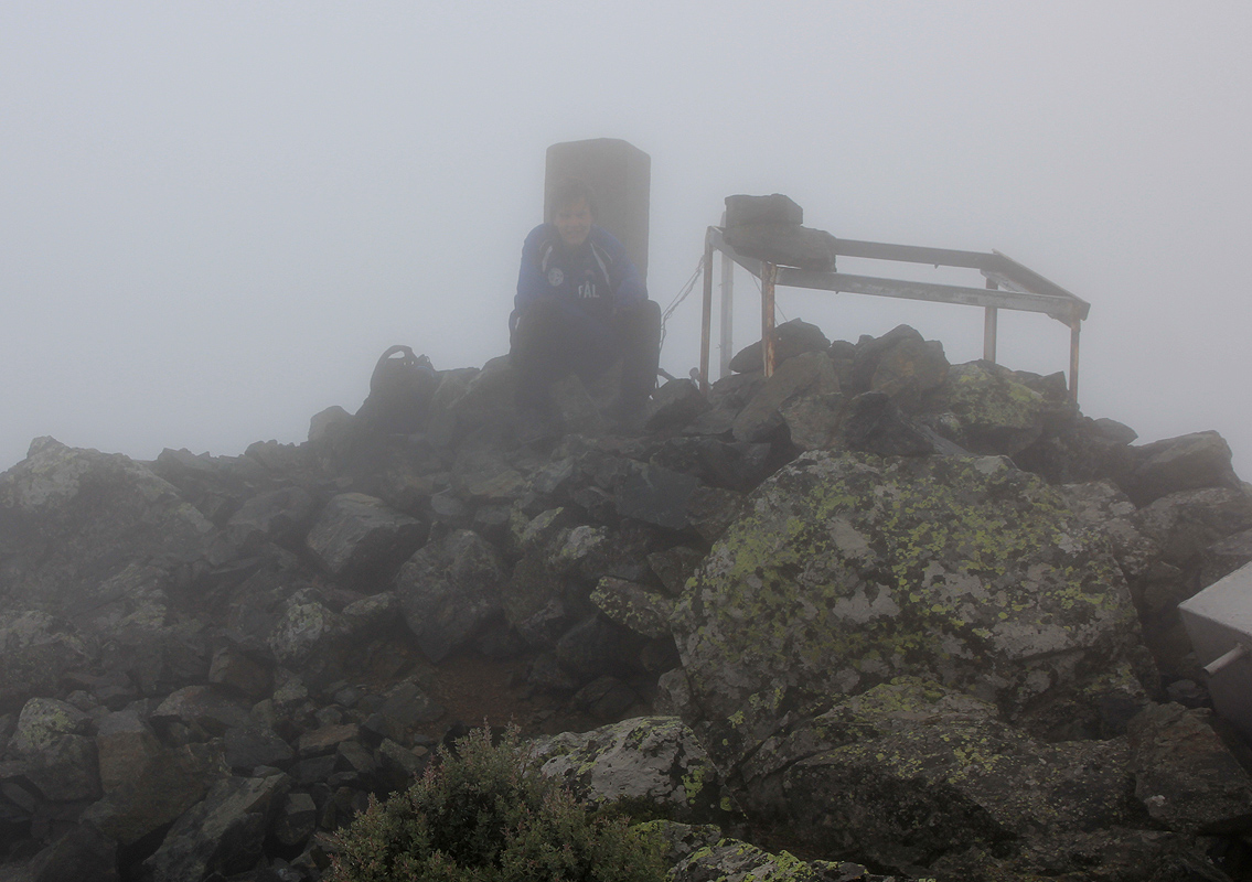
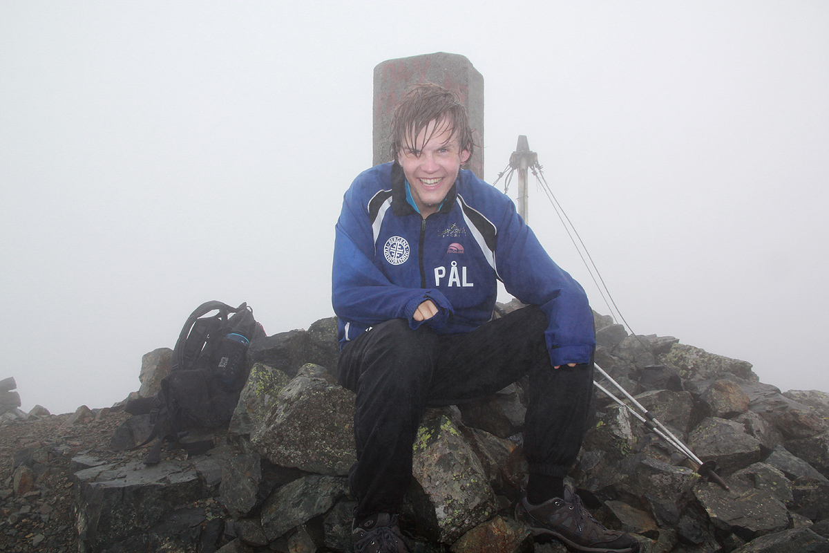
Finally, the summit came into view and we arrived there shortly
before 0940. Unfortunately, we had close to zero
visibility and quite bit of wind. Thus, this
was not a very attractive place to spend much of our vacation
in Greece. After about 15 minutes, we started traversing back along the top ridge.
We followed the trail back down to the shoulder, then
across the creek and back to the broad forest ridge.
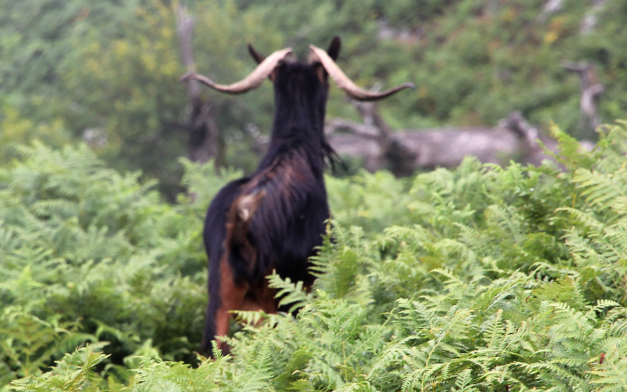
We spotted pretty wild goats high
up on the mountain, I guess that not all are well accounted for in this
wild and rugged mountain area.
Descending, we noticed that the trail came down into a ravine that we certainly did not ascend. With increasing
interest, we realized that our beginning ascent had been along some minor trail. This trail was much easier to
follow and it popped out at a dirt road, roughly 300 meter above sea level. The time was 1250, a good
place to start with plenty of parking. This was exactly the road we did
not find when ascending, but where did it start out? The map was certainly wrong again, since this road was west
of the ravine, while the map had it on the eastern side.
We continued down the road and observed that it went
by a communication antenna, then traversed back to Therma and came out just on the downslope side of the
thermal bathing house. Easy to miss this turnoff, when viewed from the main road, the beginning
of this dirt road looks like a pretty fancy driveway serving the building. We were back in Therma by 1320,
drove back to Heidi, then decided to return to Therma for lunch.
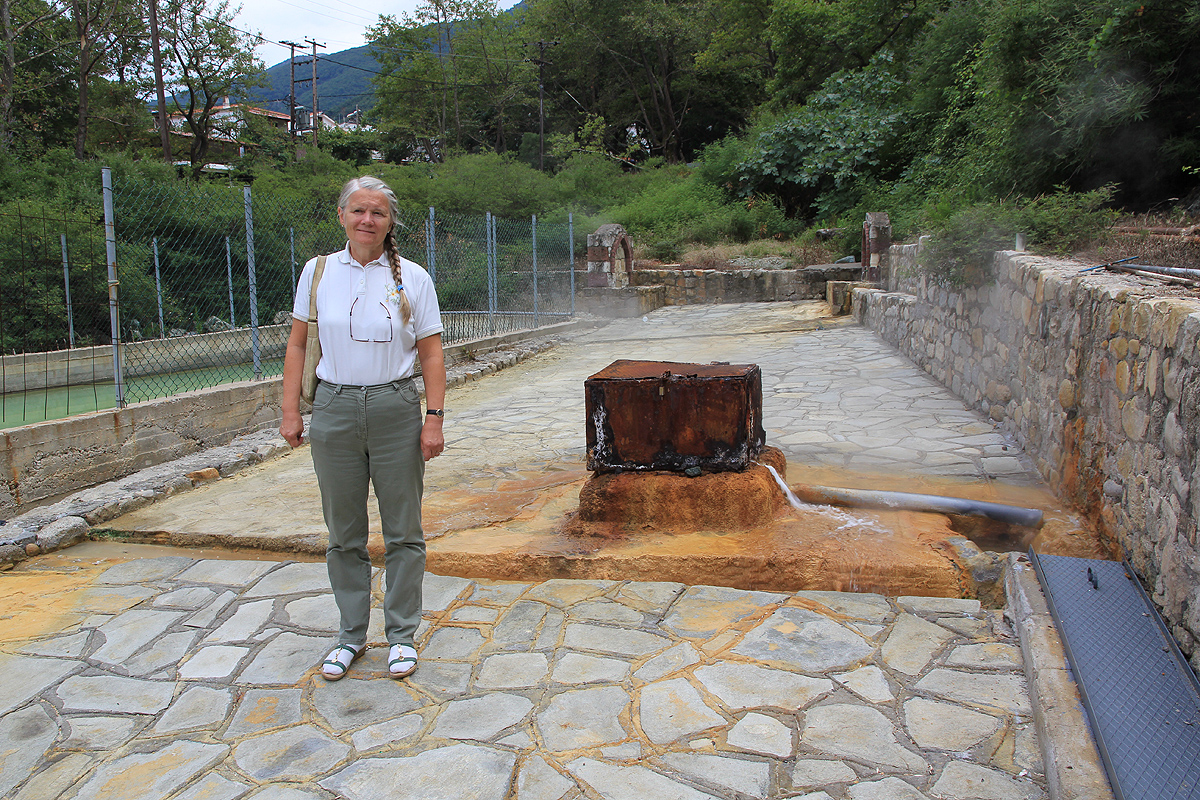
Short distances and easy driving
on this island. We explored the hot water that
comes out of the ground and feeds the bath, obviously this
spring
We had dinner at another nice taverna, located outside of the capital village of Hora, going south the village, a road
leads uphill into a saddle. On the other side there is a large football field. Follow the road that runs on the left
side (when coming from Hora), as you walk a few hundred more meter, the taverna shows up on your
right hand side. A nice location, an outdoor terrace with a small creek running by. Highly recommended.
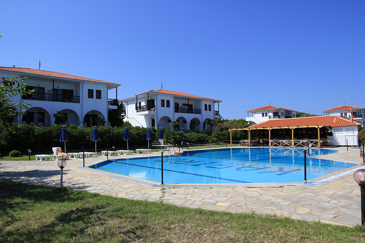
The next day, the ferry left at 1300, so no hurry and a relaxing morning by the pool. We were back in
Alexandropoli shortly after 1500
and drove back towards Kavala, then north towards
the Bulgarian border in
order to continue our family summer trip.