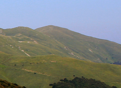
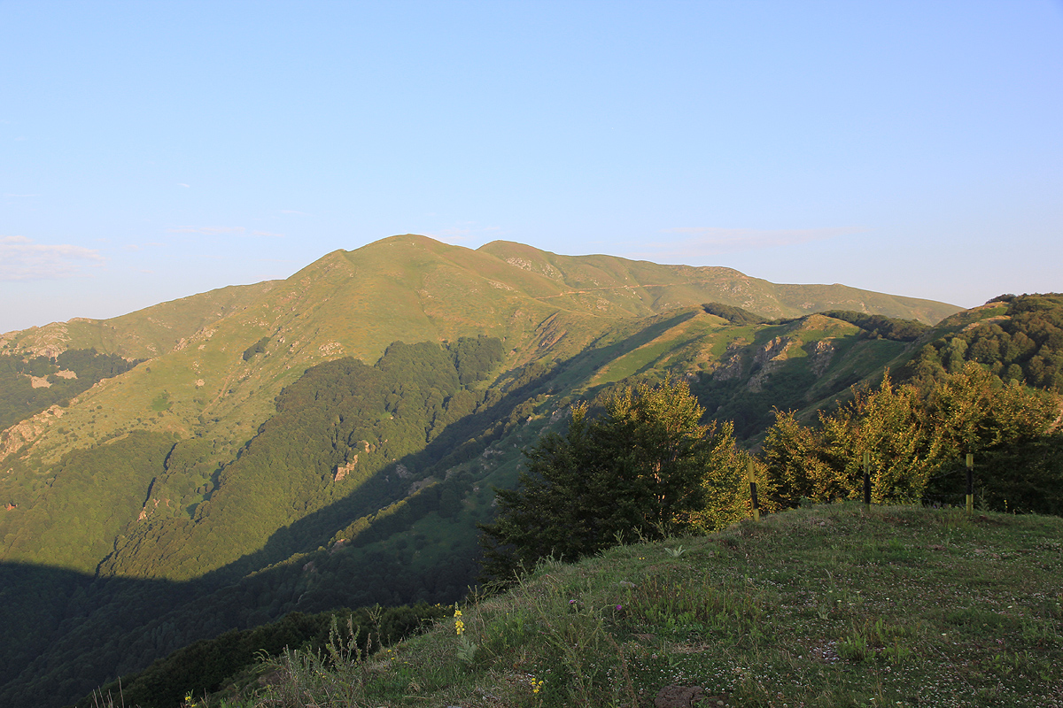
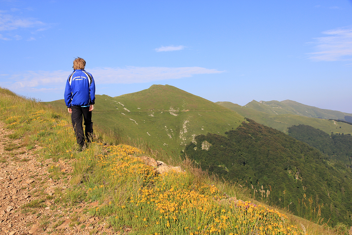
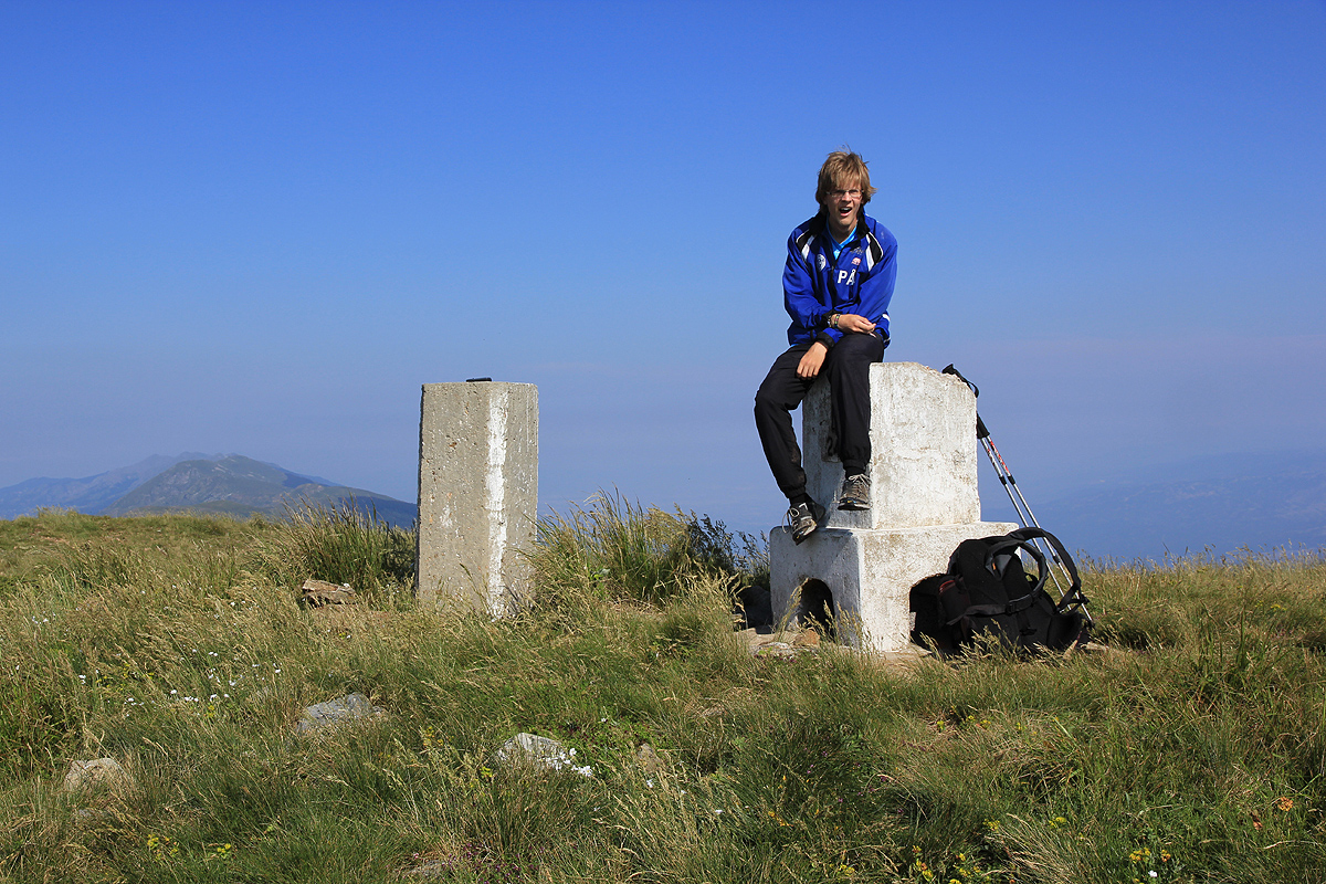
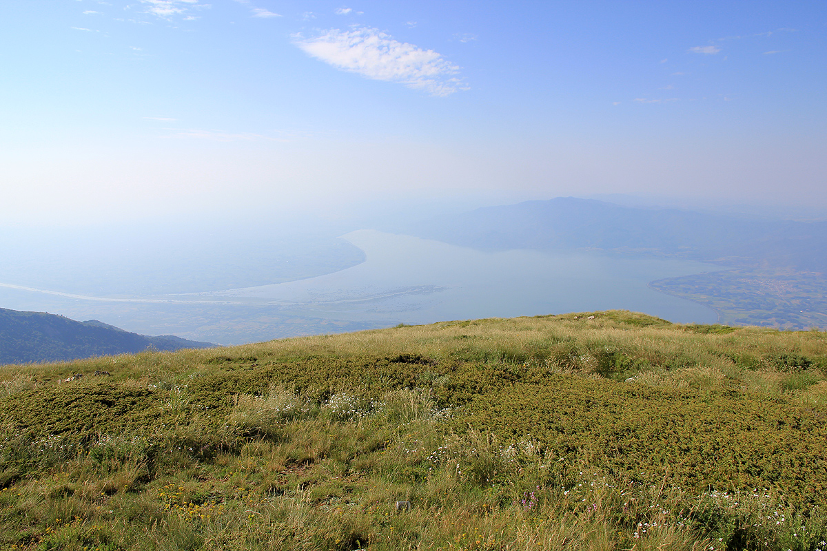
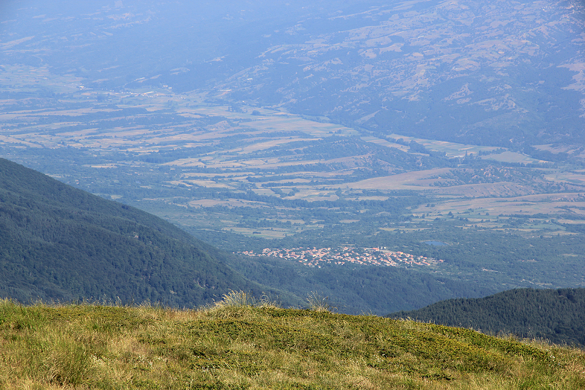
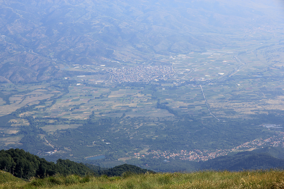
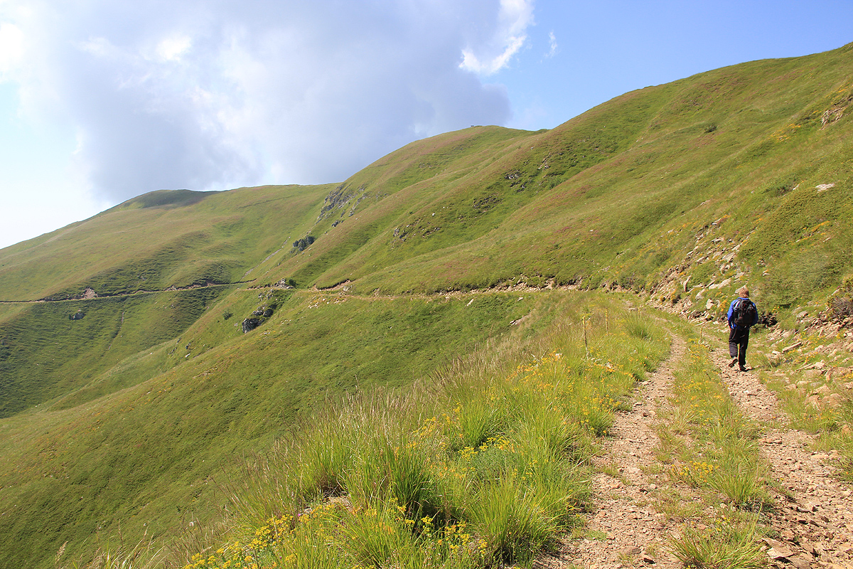
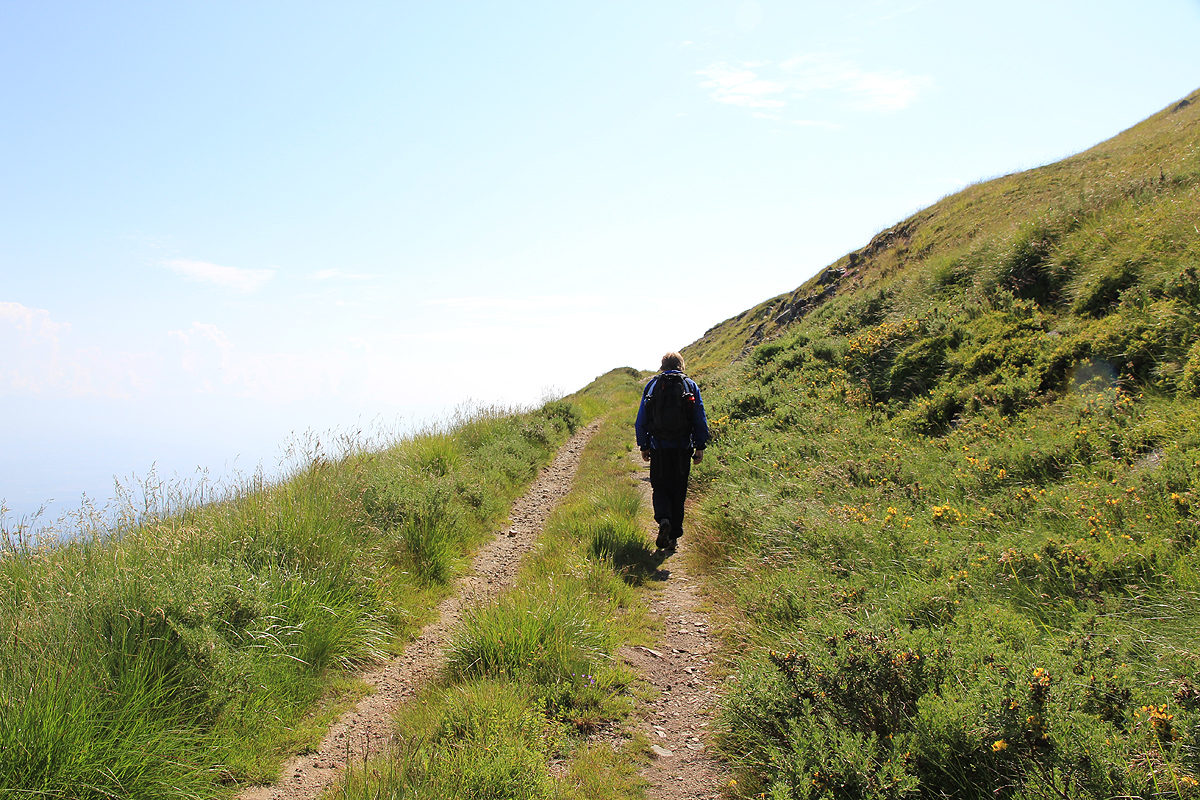
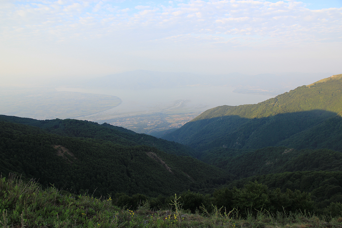
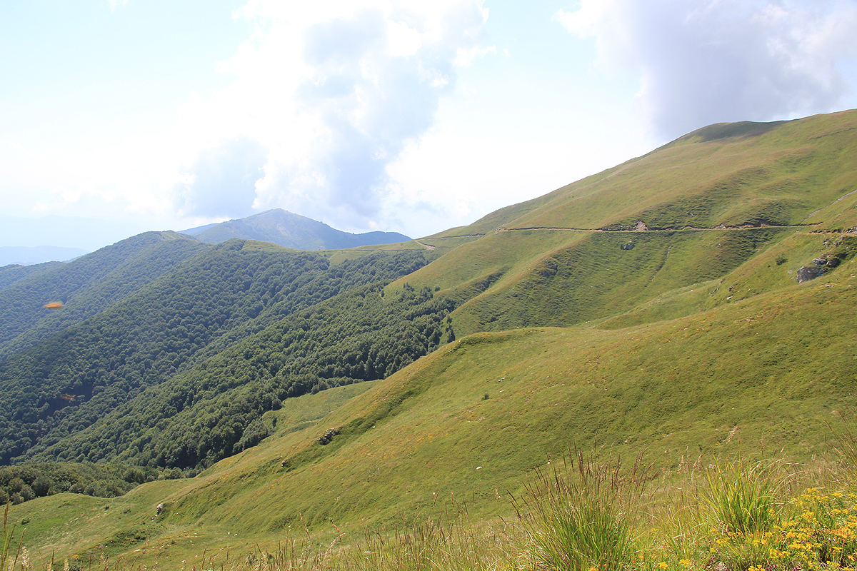
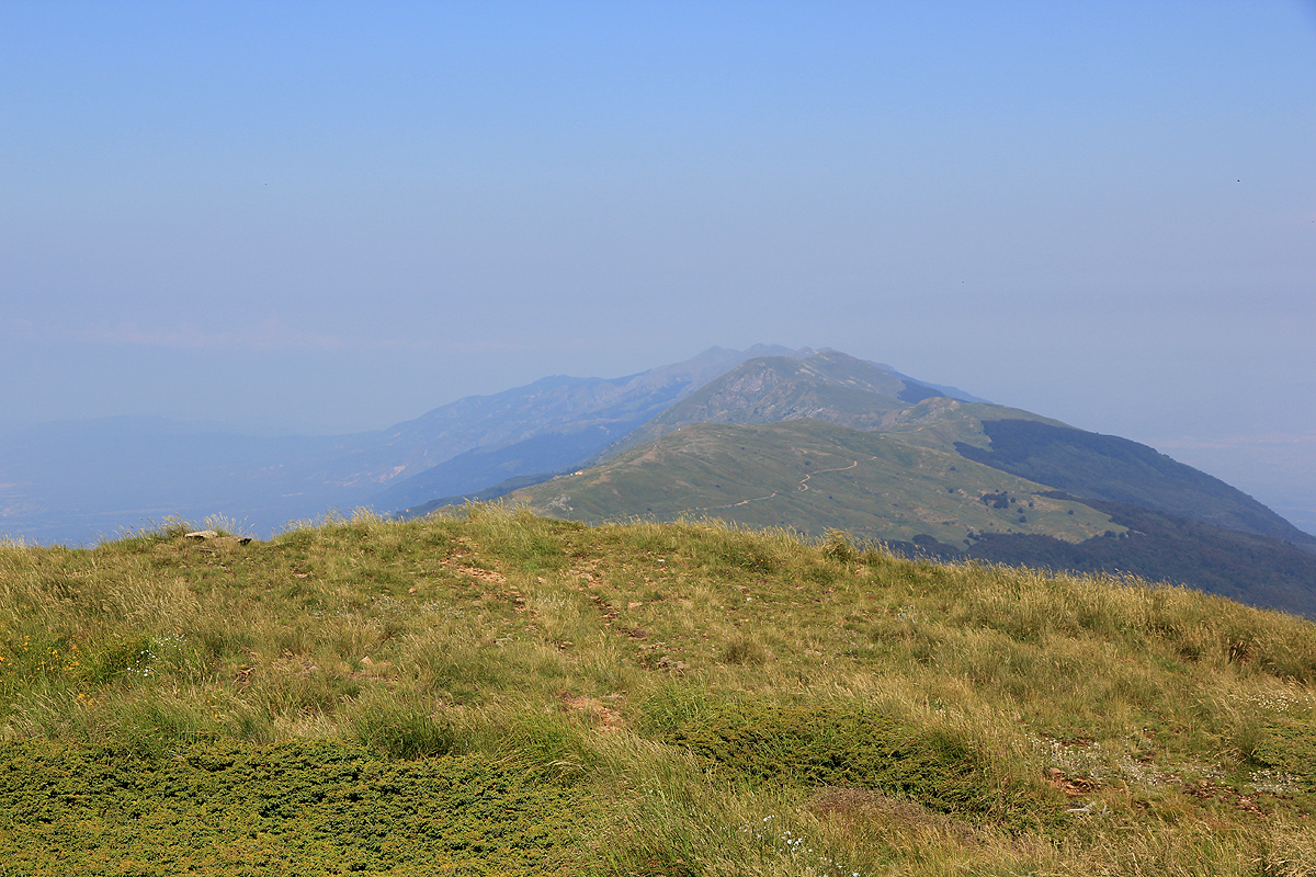
Radomir

  • Radomir
  • 2031 m
  • Primary factor 1595 m
  • Bulgaria/Greece
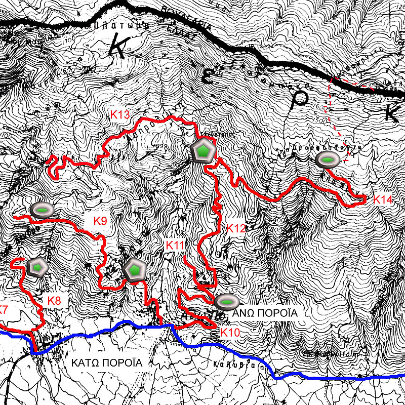
  • Location: North 41:19.233, East 023:07.238 (GPS at the summit)
  • Difficulty: YDS class 1.
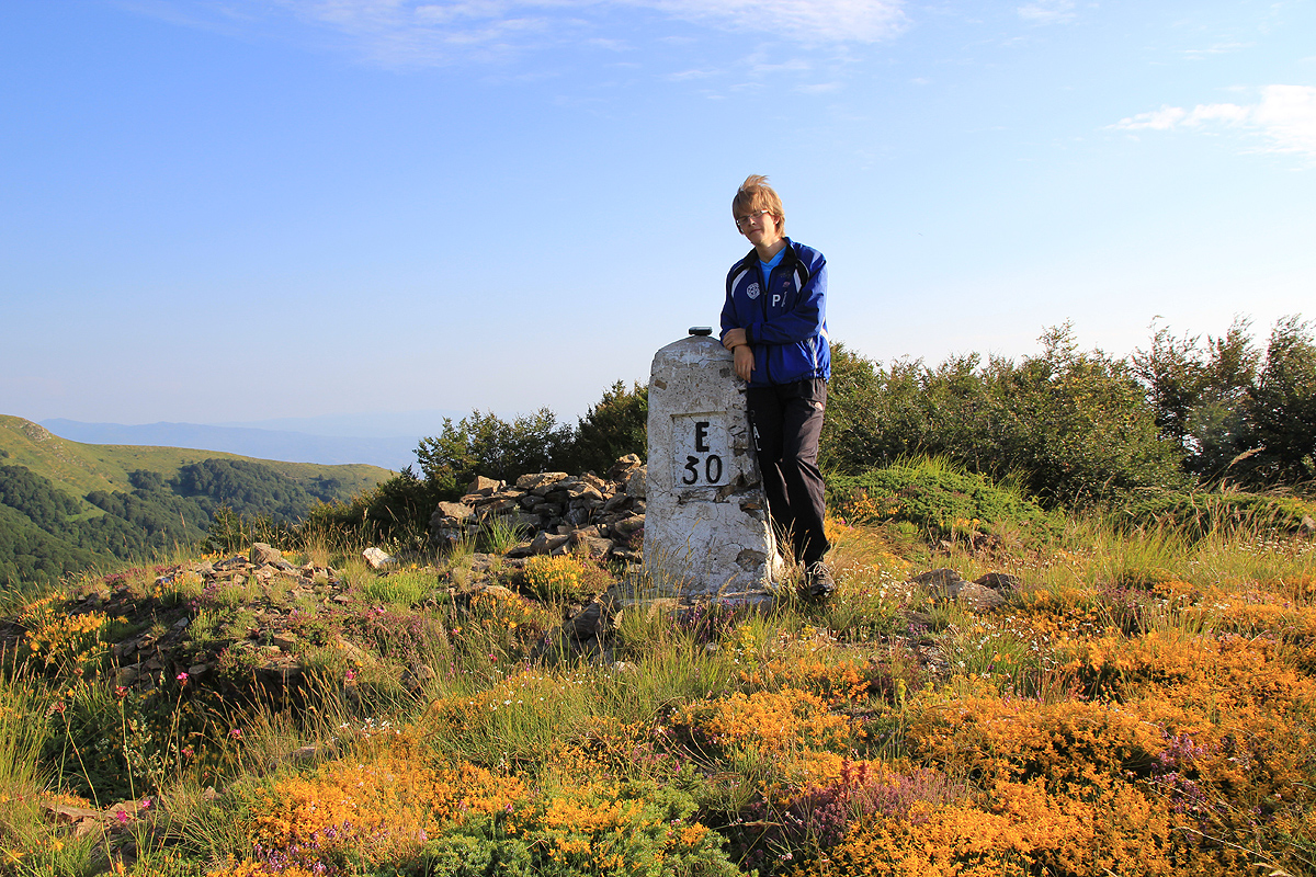
  • Climbed July 12. 2010
  • Note: In Greece, this mountain is called Mount Beles.
  • Note: My gps gave an elevation of 2046 with high accuracy.

Information:

How to get there:
This mountain is part of the Greek-Bulgarian border north of Thessaloniki. Travel north on E-79 to Serres and then continue 26 kilometer towards Bulgaria. Pay attention just after Loutra, as you should turn left shortly and go in the direction of Neo Petrisi (Hwy. 65).
A place to stay in Neo Petrisi is certainly possible, an interesting alternative is to stay at the Villa Belles Hotel, phone +30-23230-71200-1 / +30-6948-066540. Their email is info@villabelles.gr, and web: www.villabelles.gr . This hotel is located approximately 12 km further west, drive through Vyronia, then take the second road right to Akritochori. (This is before Mandraki.)
Alternative 1: Locate the center of Neo Petrisi, a place where several streets meet. The main creek also runs through here in a very distict concrete chanel. This location is N41:16.615, E023:17.709, elevation about 100 meter.
Measure from here, take the main road that runs uphill on the right (east) side of the creek. At kilometer 1.0, you will pass through a (open) gate, stay on the main road as it climbs out of the valley. At kilometer 8.4, continue straight ahead. At kilometer 12.8, continue straight (keep left). Finally, at kilometer 14.3, you should locate a right curve on your road and find a dirt road that forks off left in this curve. Get onto this dirt road, it is in good condition. If you miss this turn, you will almost immediately arrive at a military base where the road is closed. In this case, turn around and locate the first possible dirt road forking off to your right side.
This location is N41:20.342, E023:13.956, elevation about 1320 meter. Drive 2.3 kilometer along this dirt road, that is, to kilometer 16.6. You should locate a place where you can turn off the road on your right hand side, a flat area with grass. This location is N41:19.747, E023:12.744, elevation 1383 meter. Park here.
Note: If you have a 4 wheel drive and like to drive to this summit instead of having a nice, quiet walk, then this is in fact possible. Turn right at the trailhead, that is, leave the dirt road and drive about 50 meter right on flat and easy ground. You will now connect with a new dirt road. Turn left on this road and continue driving, possibly until you are right next to the summit, see the route description below.
Alternative 2: This alternative has not been checked out in detail, but sufficient information is available to describe it. If anybody tries it out, this web page would be very happy to hear about it. The advantage is that the route genuinely climbs the ountain from the Greek side, additionally, this route is likely considerbaly shorter.
Proceed west and drive through Mandraki, then Neochori. The road turns a bit north as you continue to drive and locate the right turn to Kato Poroia. Continue uphill and north-east to Ano Poroia` Proceed west and drive through Mandraki, then Neochori. The road turns a bit north as you continue to drive and locate the right turn to Kato Poroia. Continue uphill and north-east to Ano Poroia. A valley extends north from Ano Poroia towards/into the mountains. You should locate a small road, most likely dirt, that climbs the ridge on the east side of this valley, ie. do not drive into the valley. There are hairpin curves as this road climbs the ridge. Stay right where the road forks in a right curve. Continue uphill to about 800 meter of elevation, there is a new road fork where you should go right. The road now traverses east and contours around some steeper valleys/gullies before climbing higher and bends back west, then tops out near 1300 meter of elevation.

Route description:
Alternative 1: Leave your car and hike about 50 meter directly right from the trailhead. That is, do not follow the road at all, but go perpendicular to the right. The terrain is flat and open. As you get to the trees, you will see another dirt road in front of you. Turn left on this road and continue your hike.
First, the road gains a bit of elevation before emerging into more open terrain near a broad saddle (the road stays below and to the right of this saddle.) You will see that the road makes a climbing traverse to the right. The route follows this road for more than 7 kilometer. As you turn the corner of the traverse, you will see the main crest with several summits stretching out before you. Radomir, the target, is the last (high) summit that you can see. The road stays high, between 1800 and 1900 meter, as it curves in and out, sometimes briefly visiting local cols along the main crest. Several roads come up from the Bulgarian side (your right hand side), they should all be ignored.
Finally, at location N41:19.265, E023:07.566, elevation 1955 meter, a small trail branches uphill on your left. There is also a sign saying Radomir. Take this trail as it climbs the easy grassy slope to a local saddle, then turns more right and follows the main crest to the summit of Radomir.
Alternative 2: If this road becomes too rough to drive, find parking and continue on foot. It is likely that you will need a 4 wheel drive to complete this road. The road tops out just below a pretty flat plateau slightly above and possibly a bit to your east.
This plateau is visible from near the summit and the terrain from there and up is grassy, fairly steep in places, but there is certainly several ways to complete the hike up to the ridge by following lines that one sees will be ok. This will get you up on the main crest somewhat west of the main summit, but still quite close. Complete the hike on easy ground along the main crest to the summit. Here is a rough map that outlines this route from Ano Poroia to the summit.
Comments:
We started out from hotel Villa Belles around 0515 and drove to the center of Neo Petretri where we carefully located the creek that runs through town. Driving uphill on the right hand side of this creek got us up to the military base. Backtracking a few meter, we located the dirt road that forks left in the curve before getting all the way up to the base. We drove this road until we reached an elevation of 1383m, a fine place to park off the road.
We had obtained information about this road and route from a local "expert" in Akritochori, that the owner of the hotel had asked to come in the evening, in order to supply as much information as possible. The only (big) problem was that we needed a translator to tell us in English, what this man could tell us about the mountains. The message seemed clear, proceed along the dirt road until you are really close to the mountain, then climb it.
Consequently, we set out hiking along the dirtroad we had driven. We had parked in order to adhere to my 600 meter vertical gain on foot when climbing an ultra, rule. We started walking at 0615, Pål started out with a pretty fast pace and after 45 minutes, at 0700, I wanted to check on our progress. Bad news! We had been 7.8 GPS kilometer from the summit when we left the car, this distance was now 8.5 kilometer!
Obviously wrong, we wondered where we had missed a turnoff. Backtracking, we located a side road, but it only served an old watch tower. This mountain crest used to be part of the border between EAST and WEST. Anyway, we observed the right direction and also a route that would connect us across a broad saddle. No road, however. We walked back to the place where the road crossed a col (and continued out on a wrong hill), followed a trail that gradually disappeared into more and more vegatation. Eventually, we gave up on the trail, climbed directly uphill and visited a local high point with a marker that looked like a border point. From here, it was easy to join the road, clearly a road that came from the Bulgarian side. As we turned the corner higher up, the entire crest stretched out before us, and as it "always is", the highest top seemed to be the one most distant.
The weather was good and our morale high, after all, we knew we now were on the right track. About one hour later, we were getting a lot closer, forked off the road and climbed the last few meter to the top of Radomir, arriving by 0930. A very nice top indeed. Good view back down to lake Kerkini, perhaps even more interesting to look down into a pretty deep and wide Bulgarian valley on the north side. One village a bit west of us and two villages more or less directly north. We had breakfast, then hiked a little further west in order to get a better look at the alternative route that we would have tried if we had not received information from the locals. This route looked very feasible and quite possibly would have gotten us to the summit somewhat faster. We left the summit at 1000 and walked back to the car in 2 hours, arriving there at 1200, noon.
On the way back, we tried to explore where the Bulgarian road would lead and we followed it until a point where we felt we needed to descend back down a forest slope in order to find the Greek road. This connecting hike was much easier than the traverse we did in the morning, we therefore documented carefully how one could spot the curve where one should leave the road and bushwalk directly uphill. Our final surprise of the day was the discovery that the "correct road" indeed ran parallel to our Greek road and essentially had a possible connection exactly at the spot where we had parked. We drove back down to our hotel Villa Belles, and continued our Greek summer trip, the next target was Kaimaktsalan on the border to Macedonia.

Resources: