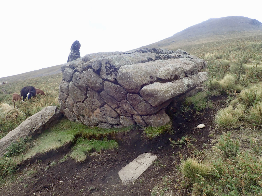
Location: North 10.95072, East 039.10464 (GPS at the summit)
Difficulty: YDS class 2
Climbed February 18. 2019.
Information:
How to get there:
We started from Melkane Selam, continue along the main Hwy. to Akesta, then
fork left at a pretty obvious fork, before the road starts climbing out of
the valley. There may be several ok trailheads, depending a bit on how
rough road your vehicle is happy to tackle. Keeping left gets you
to our trailhead at location N10.90350, E039.13580, elevation 3560 meter.
One could consider driving further to cross the main crest and start out
from this same road only about 5 kilometer from the summit. This is likely
the best trailhead, I became aware of this option while sitting at the
summit, since I could see this road/trailhead from the summit.
Route description:
From the trailhead, ascend on a path up the small valley above you.
This is right of the obvious peak seen straight uphill, left of some
smaller hills. Once you reach a small plateau, cross horizontally and
follow a path that contours around left to enter a main valley that
extends uphill on your right having the mountain straight across. Follow
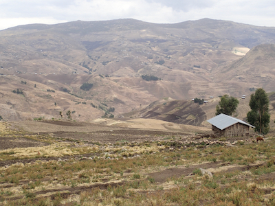
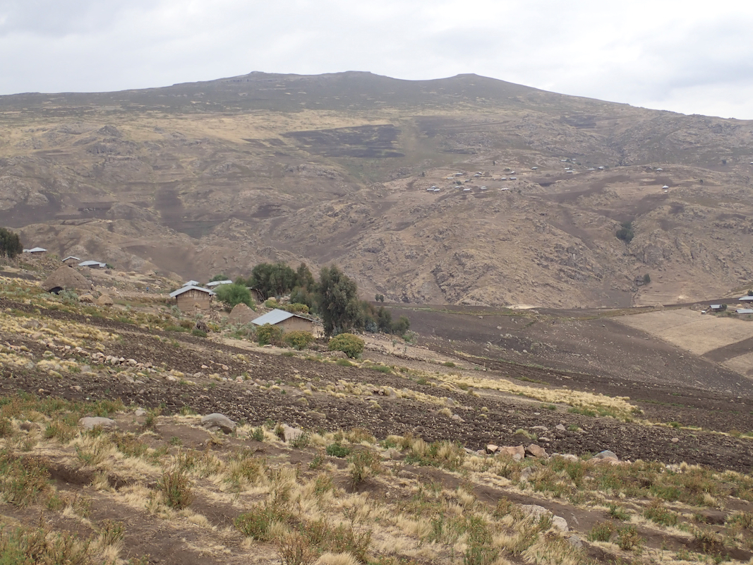
a big path that runs just above the highest huts, this will with a very
gradual (small) climb, connect to the saddle where the valley runs out.
From here, leave the trail and ascend on grass (bumpy grass) uphill.
Continue uphill on a mix of grass, very flat and easy yellow patches and
across some easy (low) vegetation having lots of possible paths. You will
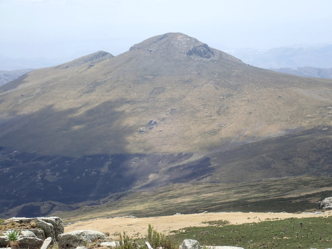
see the rocky summit up ahead.
Comments:
After our successful climb of Choqa yesterday, we were now ready for a second ultra.
Unfortunately, both Denise and Richard had caught some bad bug and were not feeling well.
I initially took a higher line than the rest of the party, waited, then descended slightly in order to
join up a bit further along. Later, I got a bit ahead again and decided to stay at the trail as
long as possible. The trail crossed the saddle to Farit, then contoured slightly uphill while turning
around to the far side of the mountain. Eventually, this trail started a descent, obviously a path connecting
different villages. I left the trail here and headed more directly uphill (right). It turned out to
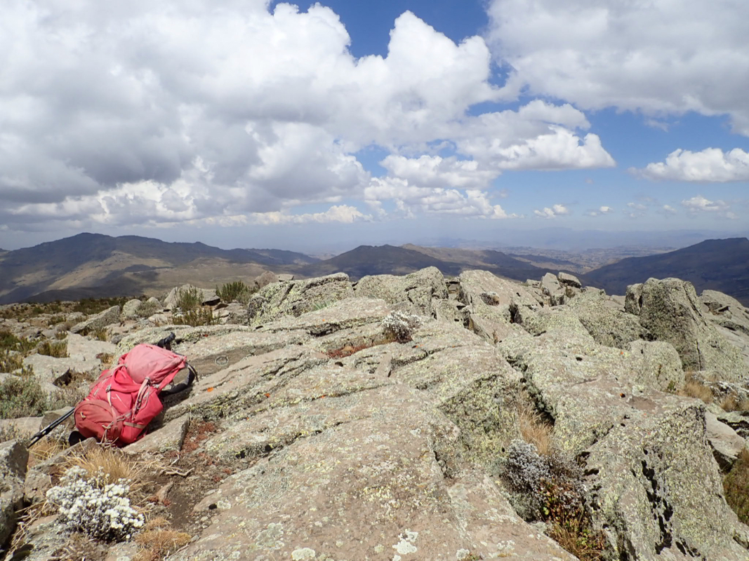
be quite a long way, obviously, my route was a detour. Finally, I saw the rocky summit in the distance.
Still, I did arrive and the rest of the party was still nowhere to be seen.
I had started hiking at 0955 and arrived at the top at 1250, so slightly less than 3 hours.
I waited a bit more than one hour. Just as I started to worry that they possibly had given
up, all three came into view. They looked quite tired. It had been a huge effort to
get this summit with the quite poor health condition. Even Rob looked a bit tired, most likely
from the sudden change of elevation, since he did not suffer the same health issues as Denise
and Richard. We had a short, but very happy celebration on the top,
then headed back down at 1410.
Fortunately, the return hike (downhill) proved much easier, we reached the car at 1620, all happy
with a though, but successful ascent.
We still had a few hours of drive before finding our hotel in the town of Dessie.
The next peak on this trip would be Yosef quite some distance to
the north near the town of Lalibela.