Location: North 12.14149, East 039.18398 (GPS at the summit)
Difficulty: YDS class 2
Climbed February 20. 2019.
Information:
How to get there:
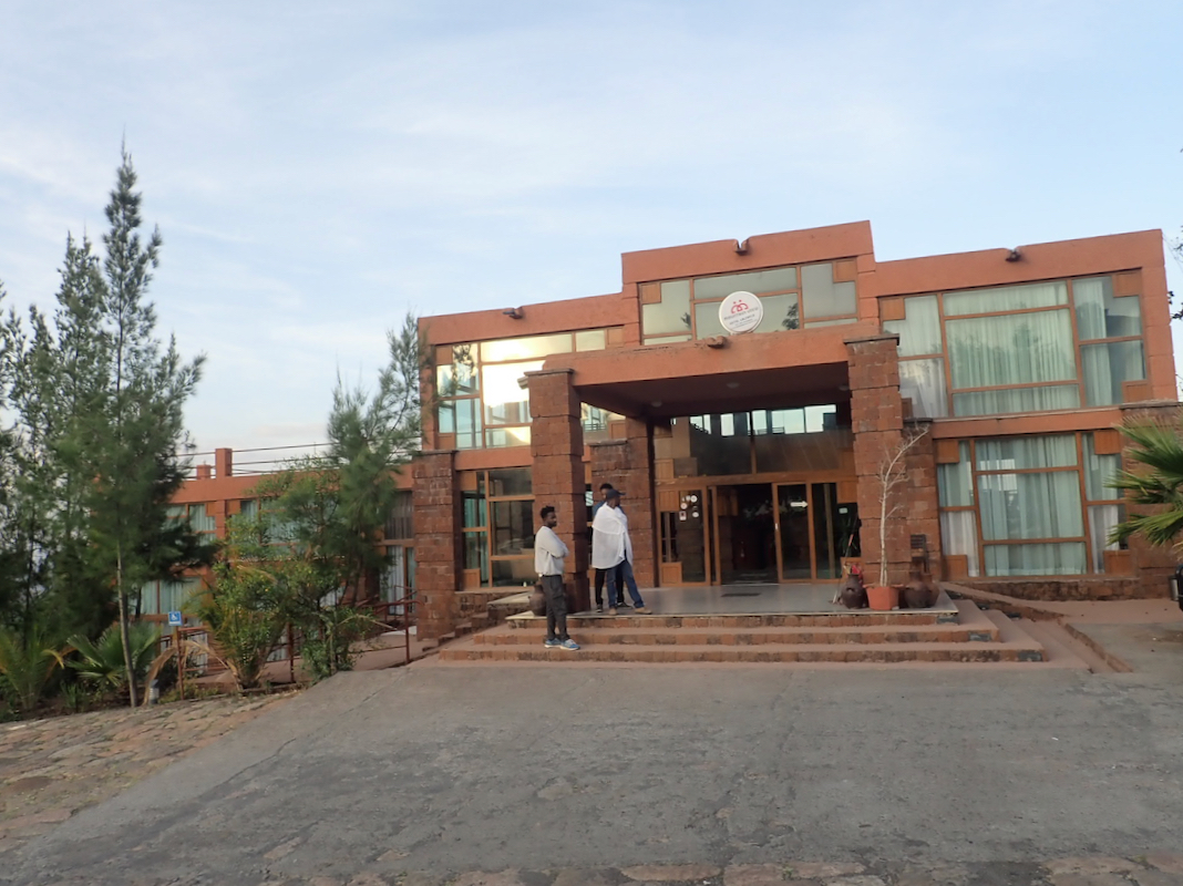
The point of reference is the town of Lalibela. This town has several nice
hotels. We stayed in Hotel Mountain View at location N12.03885, E039.03635, elevation
about 2450 meter.
From Lalibela, take the road heading north-west descending steeply into the valley below.
Fork right at location N12.05085, E39.00375. This mountain road will get you almost to the
summit. The road is in good condition, often better than many main roads in the area.
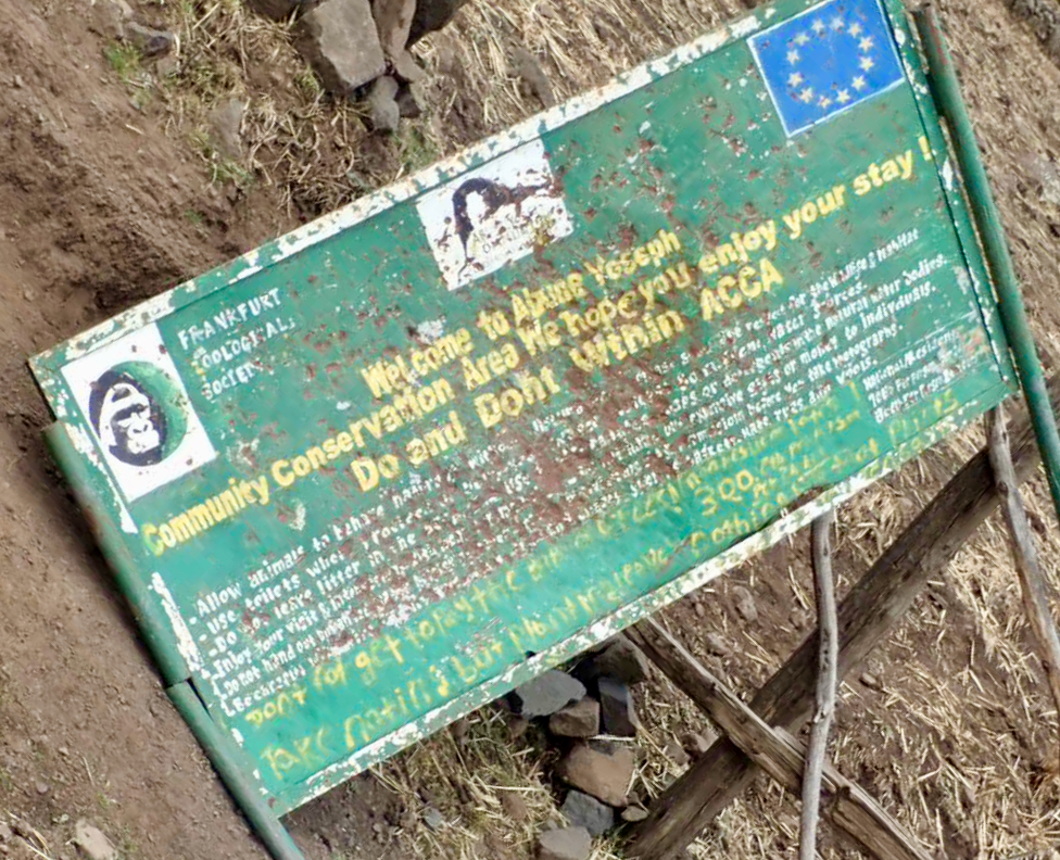
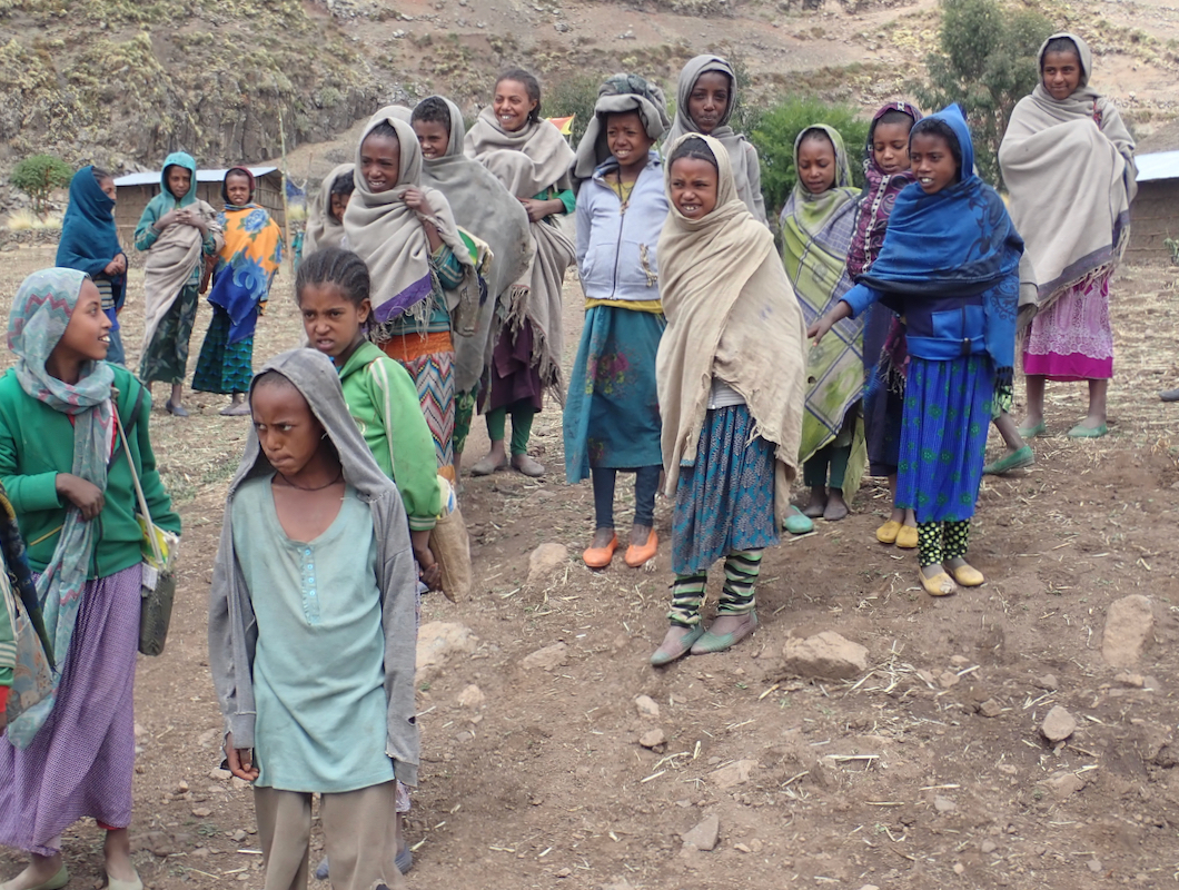
At location N12.13296, E039.14716, elevation about 3650m, there
is a village also marking
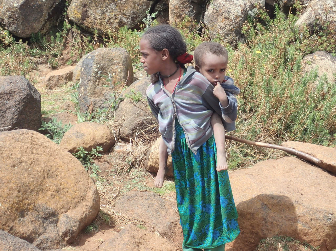
the beginning of a conservation area. One should pay some entrance fee here, (USD 10. per person
in 2019). We made a short stop and kids
immediately show up.
Continue up the hillside, there is a smaller road forking left that will get you
very close to the summit, however, we stayed at the main road and parked at location
N12.13115, E039.17966, elevation about 4050 meter. This is also a perfectly nice trailhead for
a very short summit climb.
Route description:
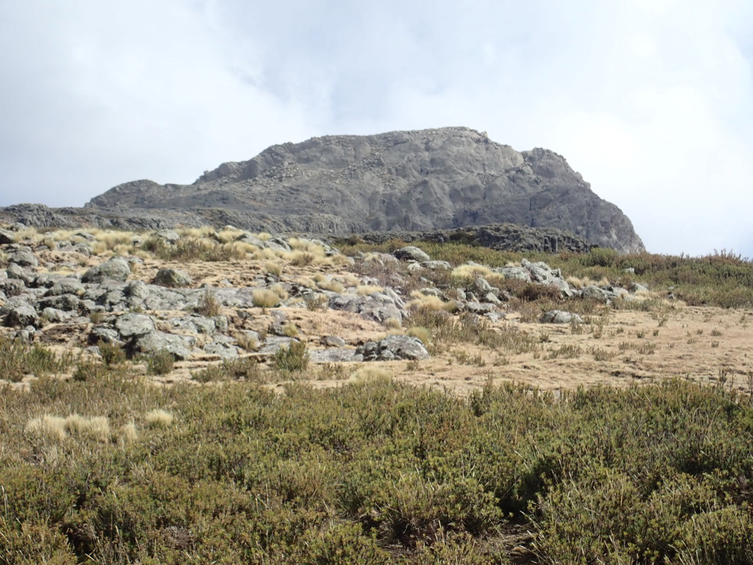
Head directly towards the summit.
You will pass a few small huts, a satelite dish and
a water tank. The final ascent is slightly steeper, but no needs to use your hands.
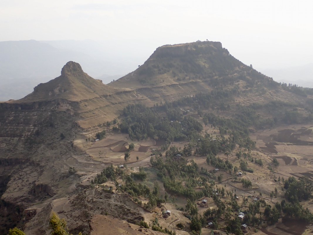
Note: There is another (mush lower)
very nice looking peak about 4 kilomeer
to north-west. This peak is called (Big) Zirgit, while the highest point in the area is called
Rime (pronounced Reemee). The entire mountain area is called Abune Yosef.
Comments:
We had arrived in Lalibela the previous afternoon and had good
accommodations in Mountain View Hotel.
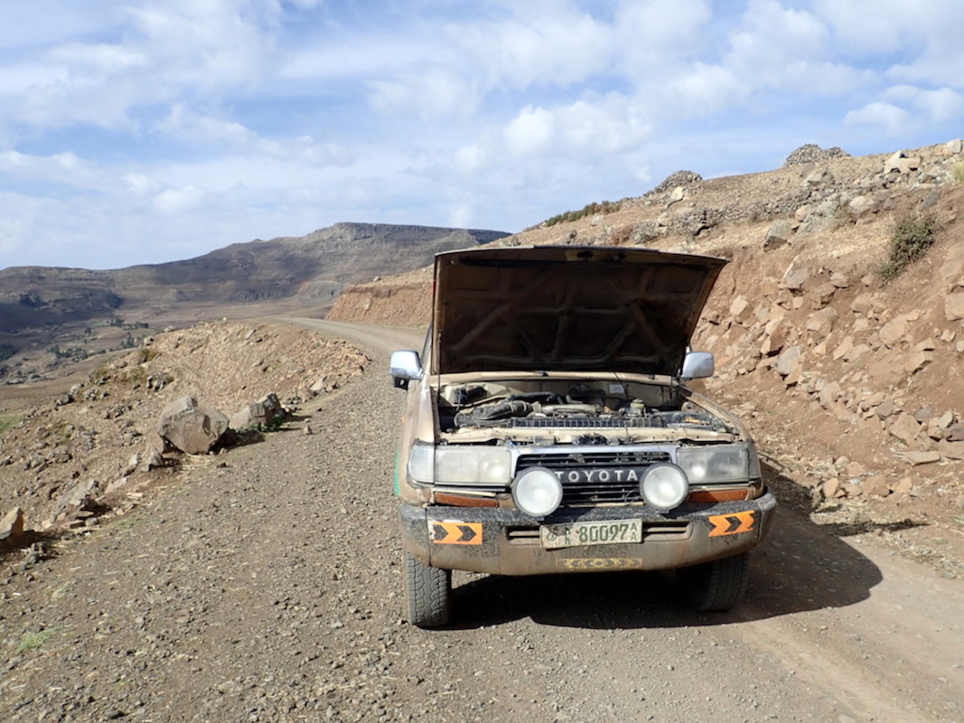
We left the hotel around 0720 in a local landcruiser, identical to our own, except older, and as it turned out,
less reliable. We never quite understood the decision to take an extra expense - one of these local
mysteries when travelling in Africa. Halfway up the climb towards the first crest the engine stalled and
the driver needed to make some adjustments to the engine.
It would indeed have been very awkward to get
stuck here, quite far from the peak. After some new tries the engine started and we carried on only to
have another stall higher up. It seemed that the previous procedure could be repeated, but it always adds
extra uncertainty to travel on mountain roads with a car having an engine that keeps dying.
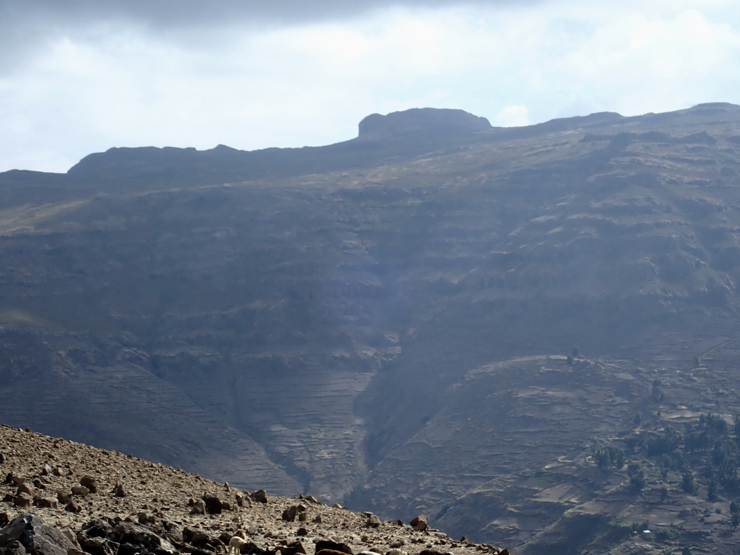
The road is quite long, after crossing the first main ridge, the road curves around the upper
part of a valley in order to access the mountain on the far side.
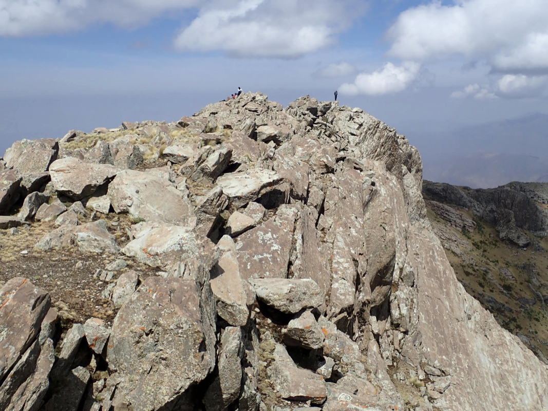
We were at the trailhead 0945 and headed for the peak at 0950. A short an easy ascent brought us to
the top at 1030. There were 3 competing rocks, quite close together that now became subject of
intense study by Rob and Richard, ultimately agreeing that the middle one was higher by a few
centimeter.
We enjoyed the nice weather
and the good views. The summit ridge is only a few hundred meter long.
Our three (separate) GPS units all seemed to agree that this peak is higher than our
previous peak Amba Farit.
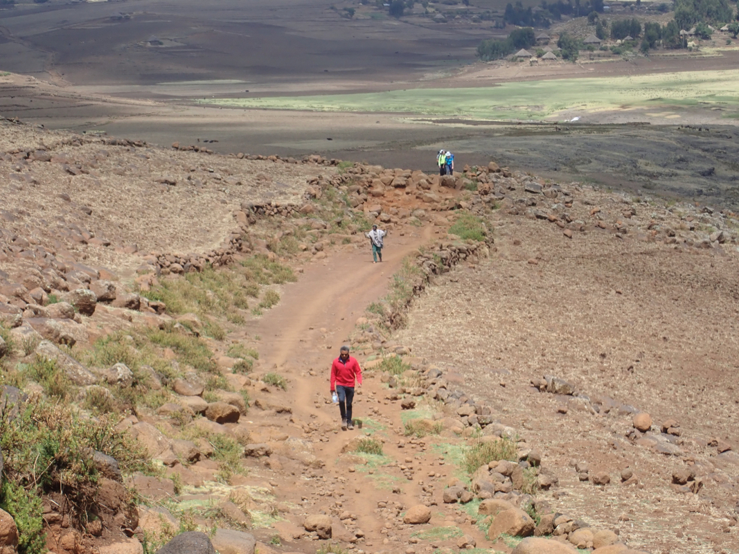
We next drove back to the place from where we could
follow the broad ridge down to the Hudade lodge,
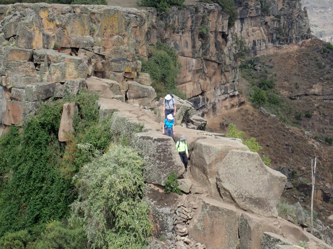
where we had a reservation for the night This hike took about 2 hours, quite a nice stroll, mainly
downhill, ending in a short, narrow ridge
that connected the Hudane property to the rest
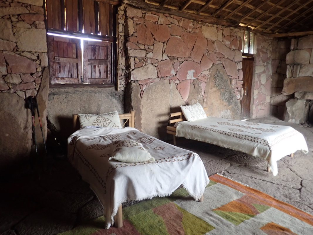
of the ridge. This is an interesting place, the bedrooms
are scattered all over the area, then there
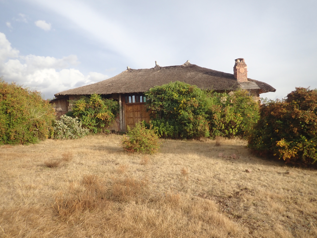
is a central reception where
they also serve meals. The entire property (quite flat)
has steep cliffs
all around except for the narrow ridge entrance.
There is a sharp drop at the end of this local property, with good views across
to the next flat plateau, a
mountain called Asheten, well known for some old
churches.
The next morning, we hiked down to the road (slightly less than one hour), then drove to Debre Tabor, a good
place for accessing Guna the following day.
