Location: South 26.61485, West 65.72113 (GPS on summit)
Climbed February 19, 2022
Information:
How to get there:
Locate the town Tafi del Valle, it can be reached easily from the city of Tucuman.
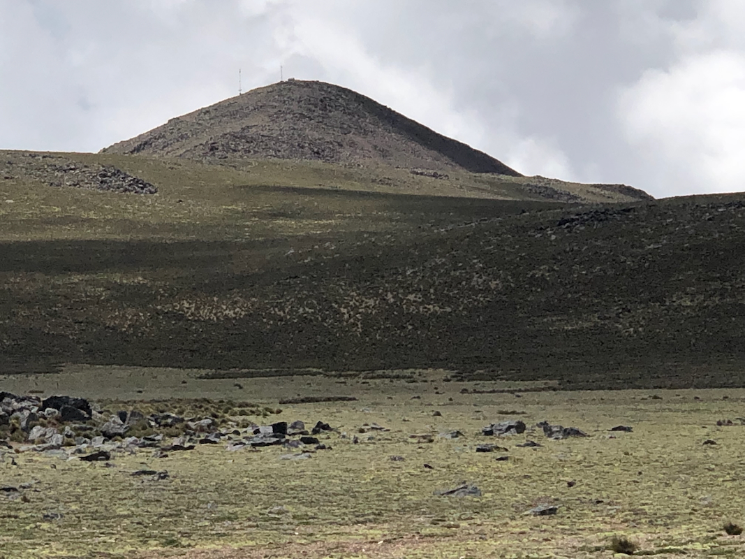
Drive uphill (north) on Hwy. 307 to near the highest point on the road at location
S26.74042, W65.77256, elevation near 3050 meter. This is the trailhead.
Route description:
After crossing a couple of fences, follow the farm road that heads directly towards the hill.
This road continues uphill (with switchbacks) and after cresting, also further into the
mountains. This road will enter a nice valley (some streams), continue along the path as this
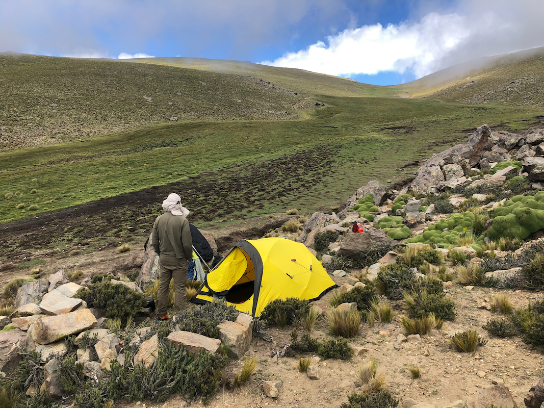
valley ascends and curves right. You will find good camping near location
S26.68988, W65.75539, elevation close to 4110 meter.
This climb is conceivable as a day hike for a strong party. Most people will likely prefer
to have a camp along the way.
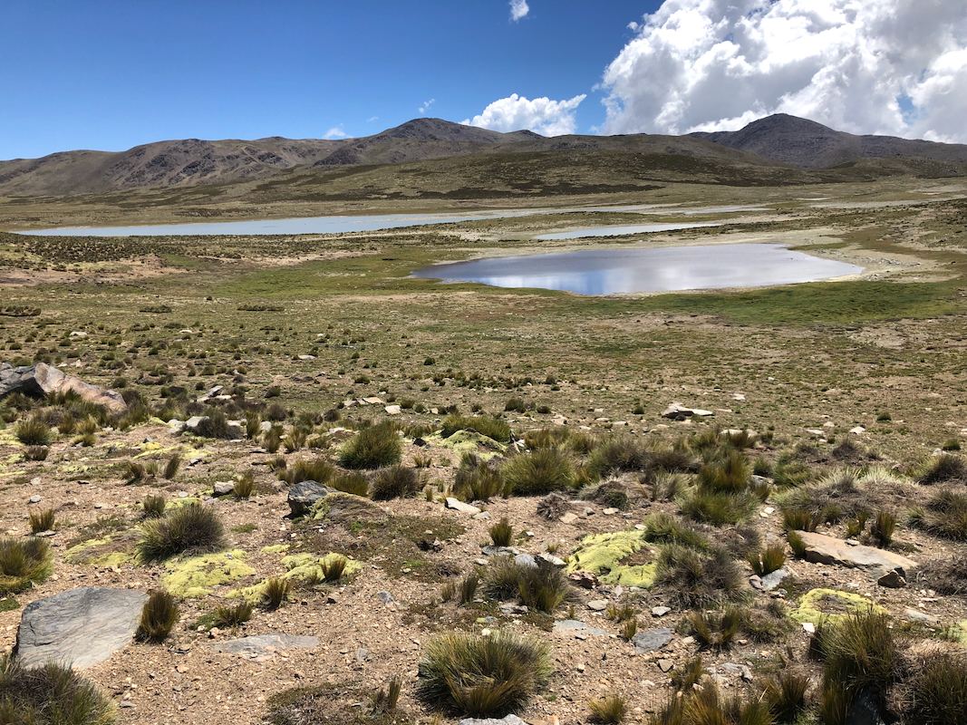
From the camp, continue up the valley and bear somewhat more left when you enter the
flat plateau. Head north-east towards a river at location S26.64310, W65.74022,
passing a few small lakes that you
should have on your right hand side. Directly opposite from the river, a clear
valley cuts uphill. Ascend here, keep a bit left as you near the local col. Traverse left
around the small valley directly in front, next to an ascending traverse heading towards
the summit at location S26.61485, W65.72114.
The very last stretch is pretty flat with
a short distinct hill at the very end.
Comments:
Here is a quick overview of the peaks climbed on this trip in Argentina.
We had Franco drive us to the trailhead and agreed that he should be back
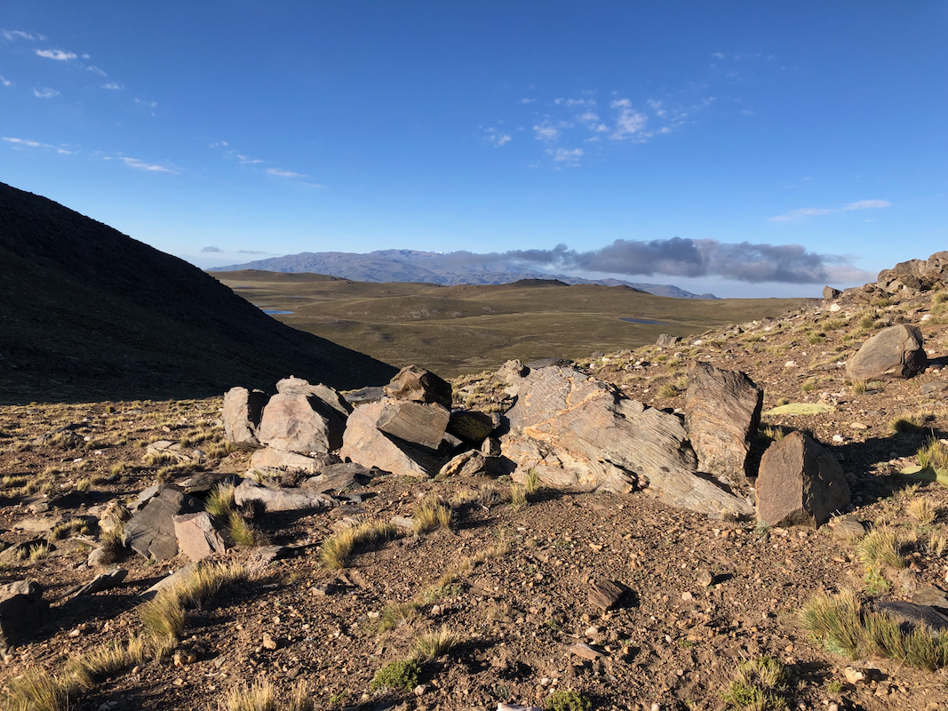
waiting for us from around 1500 the next day. It took us 4 hours to reach the
recommended camp, a nice spot up among bigger
rocks and the very special green
plant, called yareta, that is common at high elevation in the Andes.
The next morning we started at 0515, it was a pretty long hike before finally getting
to the small river
that signaled the beginning of the ascent.
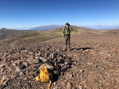
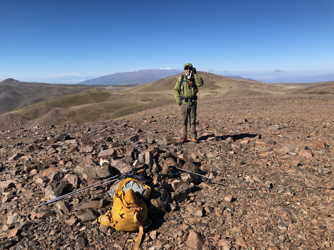
We got to the summit at 0940.
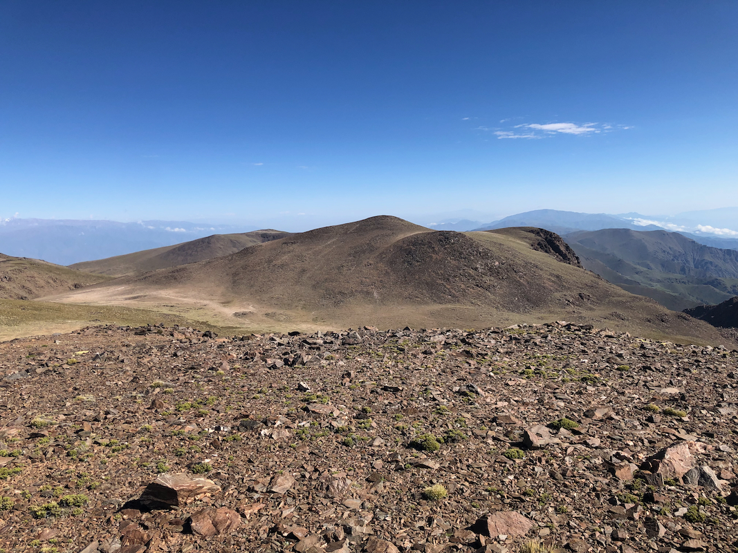
A priority task was now to check the neighbor peaks
with my hand level. The maps did not
conclusively determine the highest point. Fortunately, since I really did not want to extend
this trip with a few more kilometer, we were indeed at the highest point.
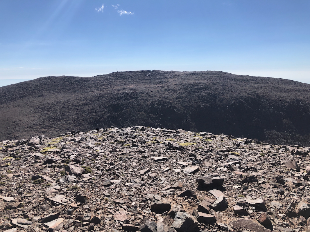
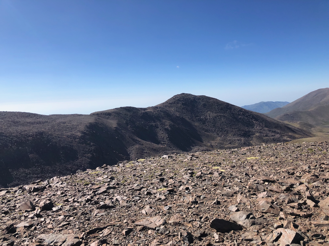
The closest contender was located to the east,
some maps showed the same highest contour there as on our summit.
Resting and looking around,
we subsequently started back at 1010. We knew the return hike would take both time and strength.
The walk back was long, but still seemed easier than our ascent.
We did also see more wildlife
on the return hike.
We returned to camp at 1310, making good time. After 40 minutes of rest and breaking camp we headed
back down to the farm road and descended to the main Hwy. where Franco was waiting. Back down at
1555, a trip of 10:40 in total.