Location: North 49.18159, East 087.95053 (GPS at the summit)
Difficulty: YDS class 2
Climbed August 30. 2019.
Information:
How to get there:
See thw description for Khüiten. Route description:
This mountain is a pretty large plateau located north of the Khüiten base camp and
east of Malchin. The mountain is shared between Mongolia and Russia. There are two almost
equally high summit points roughly 2 kilometer apart.
The best way to access this area is to take the trail from base camp towards Malchin. After about
1.5 kilometer this trail crosses a creek that comes down a valley on your right hand side.
Leave the trail and foillow the creek uphill, initially on the right hand side. You will enter a nice
valley that may be followed. The grass will turn into rocks/scree as you ascend higher. The valley
tops out near a wide saddle that separates the two summit points. In order to access the first
summit point, turn right (east) and ascend a broad ridge. Follow this to its highest point at location
N49.16578, E087.95158, elevation about 3625 meter.
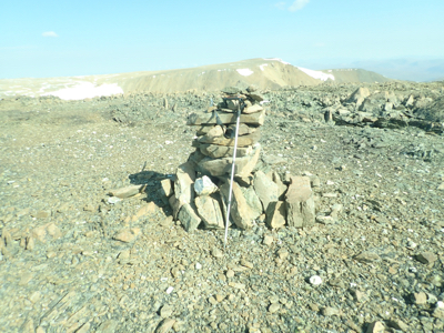
There is a cairn at this location.
Looking north from this location you will see the competing summit on a fairly flat plateau due north.
However, a pretty deep valley going east separates you from this location. Fortunately, one may
circumwent this by going west, then north and east. The second high point is located at
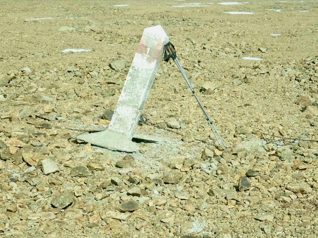
N49.18159, E087.95053, with essentially the same elevation. Very nearby is a Russian/Mongolian
border post, located at a small top, only slightly lower.
Comments:
This was a last (reserve) day at base camp. I decided to explore the hill immediately above camp, possibly
also locate the Russian / Mongolian border. I headed straight uphill, then slightly right in order to
ascend higher ground via what looked like a reasonable route climbing uphill to the left of a large
patch of snow. The terrain turned out to be slightly steeper than it looked and quite loose, but I
ascended as planned without much difficulties. This brought me quickly to the first ridge where I
headed east to locate the first high point and the cairn.
Descending west into the broad saddle, I first thought that this loss of elevation would exceed 100 meter,
thus define my cairned plateau as a separate mountain. No such luck, it seemed necessary to also
visit the competing summit. I first walked pretty perpendicular
to the border and located a border post in need of some service.
Next, I hiked pretty much parallel to the border (on the Mongolian side)
in order to find the second summit. My GPS showed exacly the same elevation. Nearby was a border post,
also almost at the same elevation. I walked over there before turning home. Going back, I decided
to explore what looked like a valley going down towards the glacier and moraine (and clearly intersecting
the main trail). This turned out to be a very walkable route. I had a rather enjoyable walk down along
the creek and back to the main trail. I had left around 0900 and returned by 1230, well in time
for lunch. This had been a very nice walk and a good way to end the trip to the very western part
of Mongolia.
Return to the Khüiten trip report.
Resources:
Images
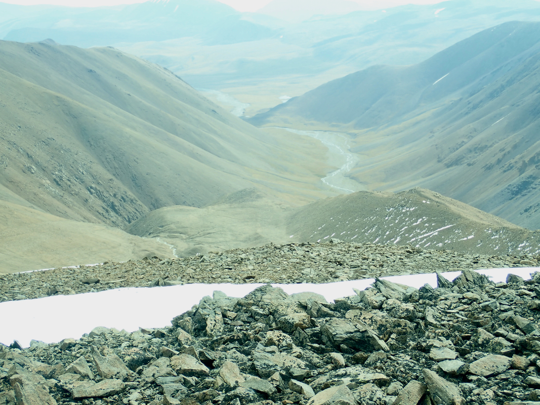
Valley, as seen from the summit. We hiked into this valley the next day.