Location: North 60.75594, East 005.74420 (GPS at the summit).
Modalen, Norway
Difficulty, YDS class 2
Climbed on July 10. 2022
Information:
How to get there:
This mountain is south of Mo in Modalen, the best approach is from
the east side. From Bergen, one may drive E39 north to Romarheim, then turn right
to Modalen. In Modalen, continue through the big tunnel that makes it possible
to drive to Dale. After the tunnel, continue south almost to Eide (just before Eidfjorden).
Park on the right hand side of the road just opposite of a small road that forks directly
left in order to serve a house out on a flat field.
This location is N60.73962, W005.79867, elevation about 50 meter.
Alternatively, drive E16 via Vaksdal and Dale, then turn left towards Romarheim
and Modalen. After you leave the innermost part of Eidsfjorden, continue past a few houses on
your left and find parking on the left hand side of the road just opposite where a small
road forks right in order to serve a house out on a flat field.
This route is about 20 kilometer shorter, but the road from Dale is
somewhat more narrow. Still, this is likely the faster route.
Route description:
From the parking, walk towards the Eidsfjorden area, making a gentle left turn. After the turn
and approximately 100 meter from the parking), locate a small trail the heads uphill
from the main highway. There is an old stone wall going up on the left.
This is the trailhead, start uphill among big trees.
Soon, there will be a sign saying Eidsstølen.
The trail is definitely hard to follow, it climbs uphill.
The trail is marked pretty well, the main issue is that the trail itself has vanished in
many places, more in the uphill section than later on. Keep looking for the red plastic
markers attached on trees and also some red paint on rocks.
Next,
it is easy to get lost as an old trail forks left, ie. more horisontally. Keep going
uphill, the route must gain the plateau with small ponds at about 460 meter, in order to
connect nicely with Eidsstølen.
The trail stays pretty much right as you ascend, higher up, pretty close to the steeper
terrain that you have on your right hand side.
That is, the trail passes a fair distance north of point 471 marked
on the map. Continue across easy terrain, descending to Eidsstølen.
From Eidsstølen, continue north across meadows and easy terrain until you are
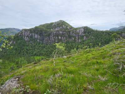
well past the lower cliffs of Toppfjellet. Ascend from the east side to gain the very
nice and obvious passage that starts at about 540 meter elevation and continues north-west.
Follow this until you spot a pretty obvious gully that can be ascended in order to reach
the summit area north of the summit. It is now easy to pick a good route from here to
the summit. Comments:
I started slightly after 1030. The uphill section of this trail was no better than
6 years ago. The marking is pretty good, but the trail is pretty bad, among the worst
trails going to a (local) mountain farm that comes to mind. Obviously, not in (regular) use any more.
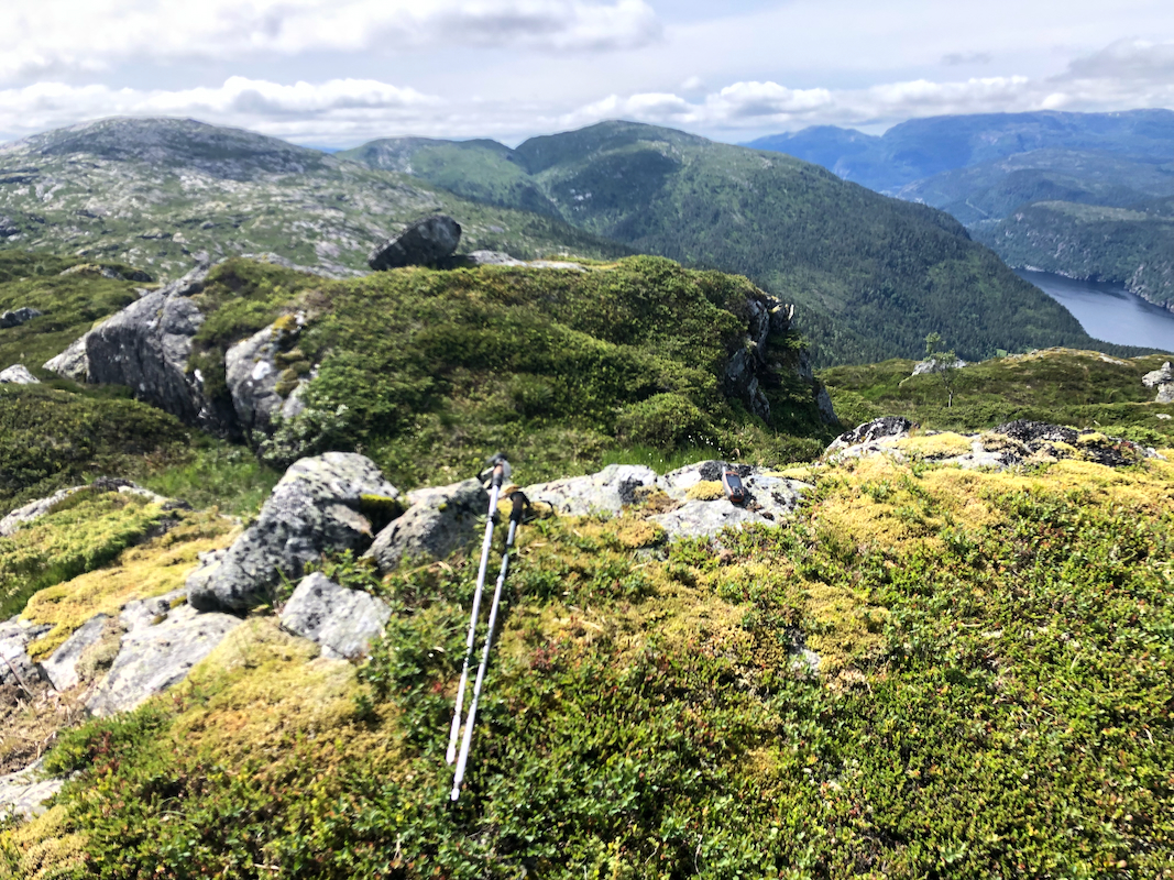
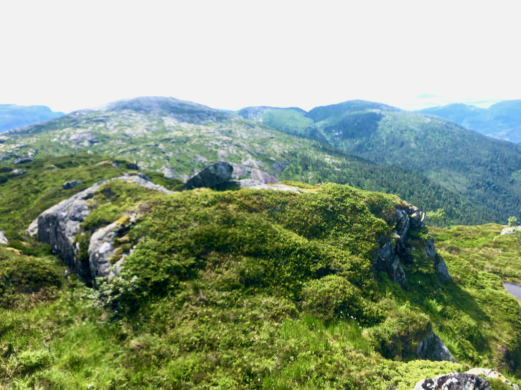
I arrived at the summit around 1300,
so almost 2.5 hours. Good views.
I next started a more adventurous traverse towards Snøya.