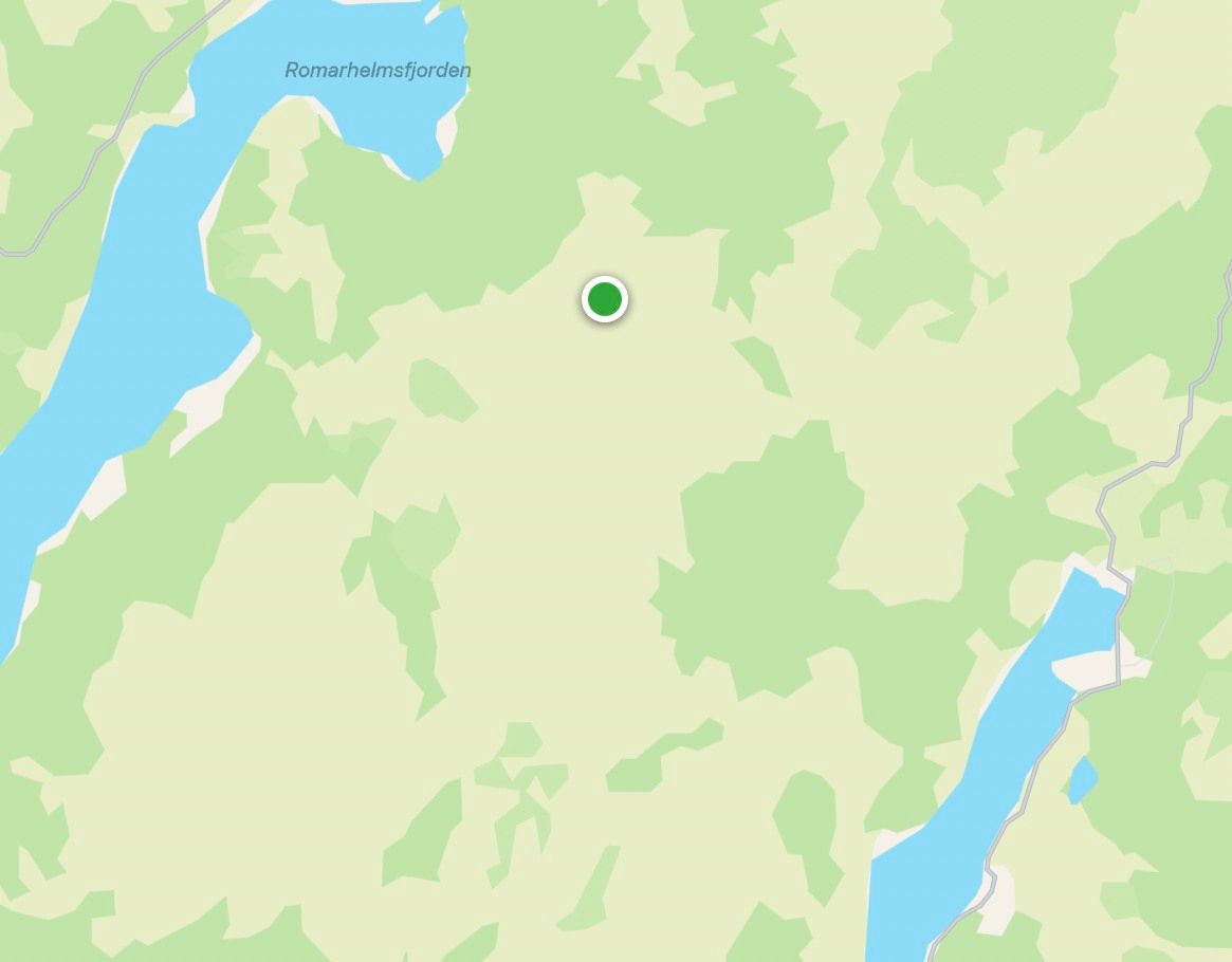
Location: North 60.72355, East 005.69514 (GPS at the summit).
Hordaland, Norway
Difficulty, YDS class 2
Climbed on July 10. 2022
Information:
How to get there:
This mountain is south of Mo in Modalen, the best approach is from
the east side. From Bergen, one may drive E39 north to Romarheim, then turn right
to Modalen. In Modalen, continue through the big tunnel that makes it possible
to drive to Dale. After the tunnel, continue south almost to Eide (just before Eidfjorden).
Park on the right hand side of the road just opposite of a small road that forks directly
left in order to serve a house out on a flat field.
This location is N60.73962, W005.79867, elevation about 50 meter.
Alternatively, drive E16 via Vaksdal and Dale, then turn left towards Romarheim
and Modalen. After you leave the innermost part of Eidsfjorden, continue past a few houses on
your left and find parking on the left hand side of the road just opposite where a small
road forks right in order to serve a house out on a flat field.
This route is about 20 kilometer shorter, but the road from Dale is
somewhat more narrow.
Route description:
This mountain is quite some distance away from a good point of access. The horizontal distance
to Eide is about 6 kilometer and runs across 2-3 mountains before getting to Snøya.
I did this as a continuation from the mountain Toppfjellet.
I walked on the west side of the main crest (Salsfjellet), descended into the valley
separating these peaks, then ascended to the summit. This route was rather
cumbersome and cannot be recommended. The summit has anicely built, quite high cairn.
Comments:
I left Toppfjellet at 1310. The traverse across took
more than 3 hours (10 min. more) I realized that
this hike would be an all day adventure. Worse, somewhere along the
route from Toppfjellet to this summit, my iPhone had dropped out
of my pocket. No more pictures! I had no idea where this happened, but only knew
it was sometime after leaving Toppfjellet.
On my way home, I crossed south of the highest area of Salsfjellet, then
traversed north before descending into the valley in order to connect with
my route to Toppfjellet. The time was 2015 by the time I reached my car.
I did not get home until 2200, Heidi was still waiting with dinner and we had
a wonderful (late) evening meal.
Extra trip the next day:
I looked into the "Lost iPhone" technology on the web. If the phone was in an area
with mobile phone coverage, then it could tell me (roughly) where it was. Indeed,
it did come up with a location.
This was not the worst possible location, somewhat later in the ugly area descending
across the valley towards Snøya would have been worse.
However, I needed precise coordinates and it took a bit of looking around before I
was able to extract the hopefully, precise location.
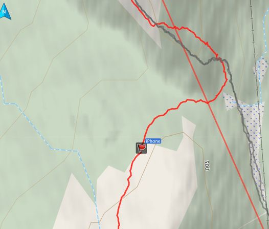
Fortuneately, my GPS was turned on when the phone was lost. I therefore extracted
this track and plotted the information on a better map.
With this information showing a consistent picture, made it possible to make a day hike
and see if the phone could indeed be found.
Thus, I drove 1.5 hours back to the trailhead and started hiking shortly before 1100.
I estimated that it would take me about 2 hours to reach the location. I carried with me
my laptop as well as Heidi's phone. In this way, I could establish an internet session
if needed. This could be used to tell the (missing) phone that it should issue a long
and loud sound. This might facilitate a possible local searh.
Upon arrival in the local search area, it was not very hard to try repeating the
local walk from yesterday. Your brain will tend to pick the same way, some terrain
is just more attractive for walking - on a very fine local scale. I did just this
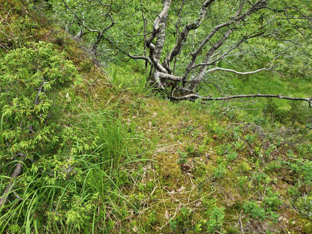
and came directly to my iPhone! It was on the ground,
about 18 meter from
the coordinate that was reported.
I walked back, this trail from Eide suffers from little use. I have now walked it
4 times across 2 days - a small contribution to keep it from completely vanishing.
