Location: North 60.76255, East 005.59448 (GPS at the summit)
Climbed December 12, 2020
Difficulty YDS class 2
Information:
How to get there:
Drive E-39 north from Bergen. When you arrive in Romarheim,
locate the road fork where Hwy. 569 goes right to Modalen.
Continue 2 kilometer further north on E-39. Locate a small fork
signed for Stusdalen going left. Take this road. You will
arrive at the first house on your right. You need to pay toll in order to
continue this road. NOK 40 (in 2020), cash or by Vipps. Continue to
the next house, the correct road is to turn left at the second fork, ie.
you drive on the right hand side of the house below you.
Continue on this very nice dirt road in the valley, then uphill to
a large parking area at location N60.76155, E005.57785, elevation about
316 meter. Turn left here and find parking. Alternatively, you may continue
up the main road 250 meter to a large parking there.
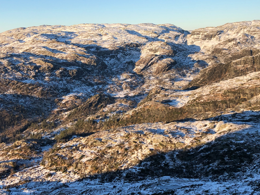
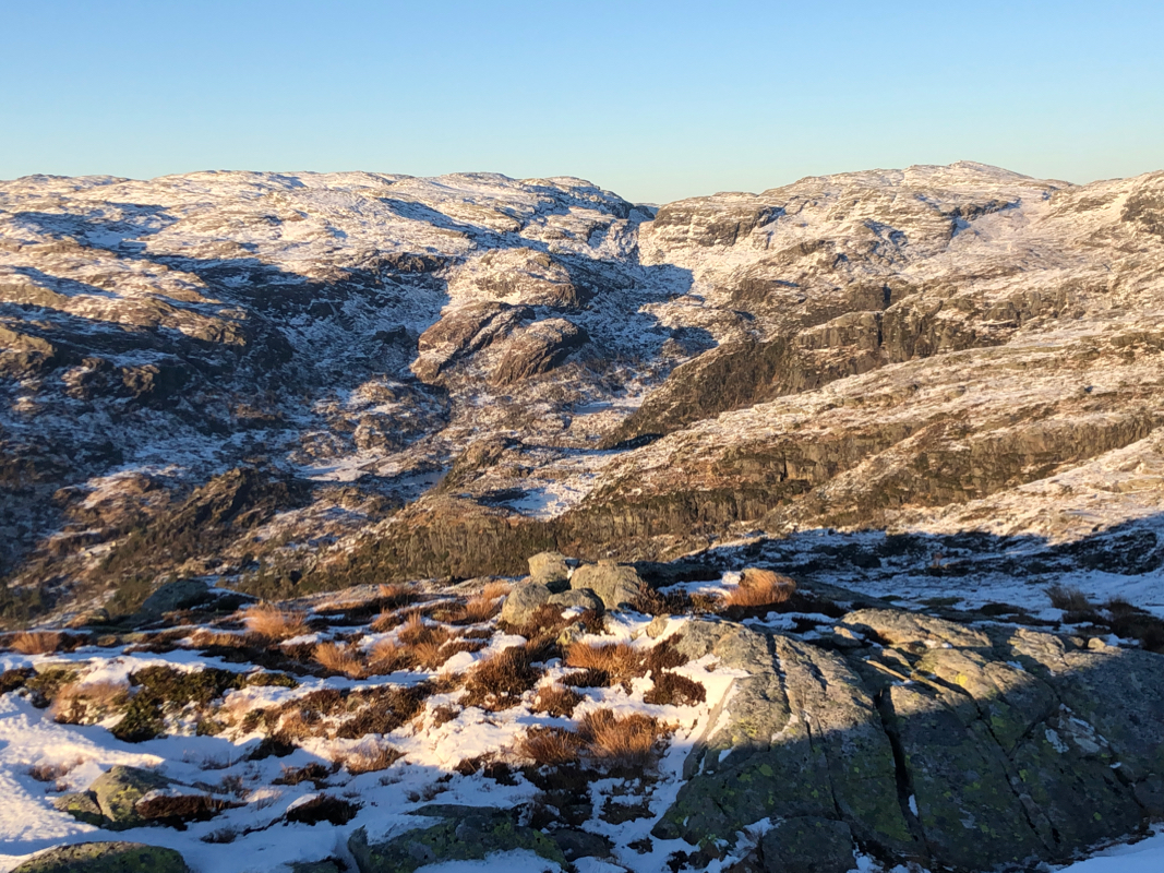
Route description:
Walk back to the spot where the road comes up to the parking area. Continue just
slightly more while looking for a tiny trace of a trail that ascends up and right in
the somewhat steep terrain. Take this trail, it is small, but one should be able to
follow. This trail leads across to the small valley coming up on the north side of
the steeper Stussfjellet. The route stays a bit left of the creek. As you gain more
elevation, you will see a few spots where one may climb up and onto the summit
plateau. The cairn is located near the side,
while the highest point is a few meter
away, more in the center of the highest area.
Comments:
I left the parking at 1155 and arrived at the summit about
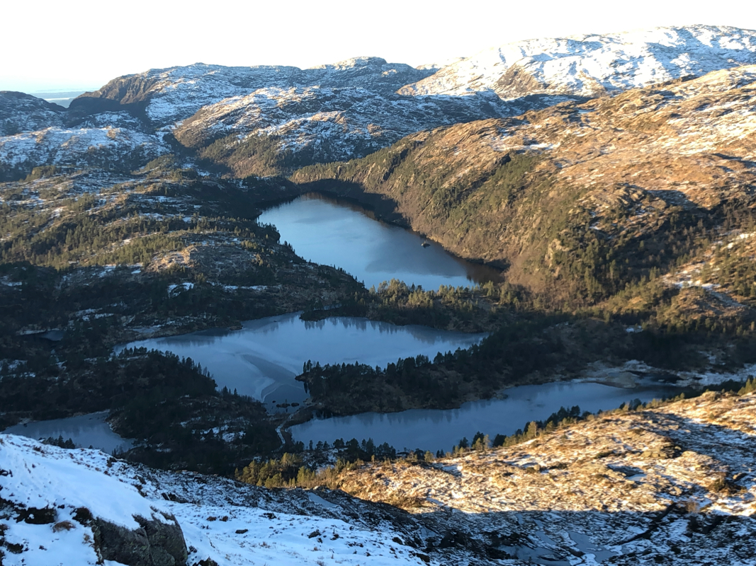
50 minutes later. Very nice weather and good views all around.
I descended 10 minutes later and had a good walk back down, taking about
the same time as my ascent.
I next decided to climb Steinhusfjellet.
