Location: North 38.34597, West 122.57990 (GPS at the summit)
California
Difficulty: (YDS) class 1
Climbed March 4. 2018.
Information:
How to get there:
The city of Santa Rosa is a good point of reference. You get there via
Hwy. 101 going north from San Francisco.
In Santa Rosa, locate Maple Avenue (crossing Hwy. 101), going east just a
short distance, then locate the beginning of Bennet Valley Road. Follow
this road out of Santa Rosa, and turn right on Sonoma Mountain Road.
Keep left at a fork, then turn right at the signed access road to the park.
Pay 7 dollar (2018) at a machine for parking. This location is
N38.36320, W122.60474, elevation about 300 meter.
Route description:
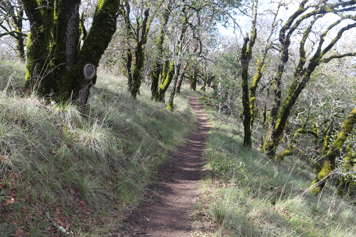
The trail starts out slightly downhill, ignore all side trails. You now hike
4 miles along a very nice trail that winds
its way, mostly gently uphill to
a gate where you enter the neighbor park. Continue along until location
N38.35093, W122.57089, elevation about 600 meter. Here, your trail hits a wide
track that ascends, fork right (uphill) and arrive shortly at a signed
trail fork at location N38.34874, W122.56985, elevation about 635 meter.
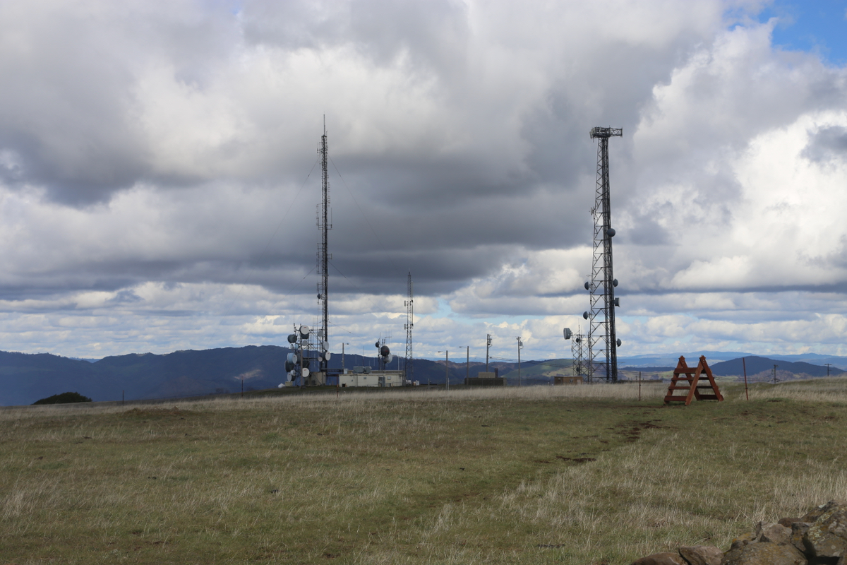
Going right here will lead you to a local view point next to a fence guarding
various antennas. This is not the summit. The sign says that you should
continue straight in order to get to the Park High Point. This is the correct way.
Unfortunately, you will soon arrive at a closed gate. A small sign says "End of trail".
The trail actually loops around to the point near the fence, location
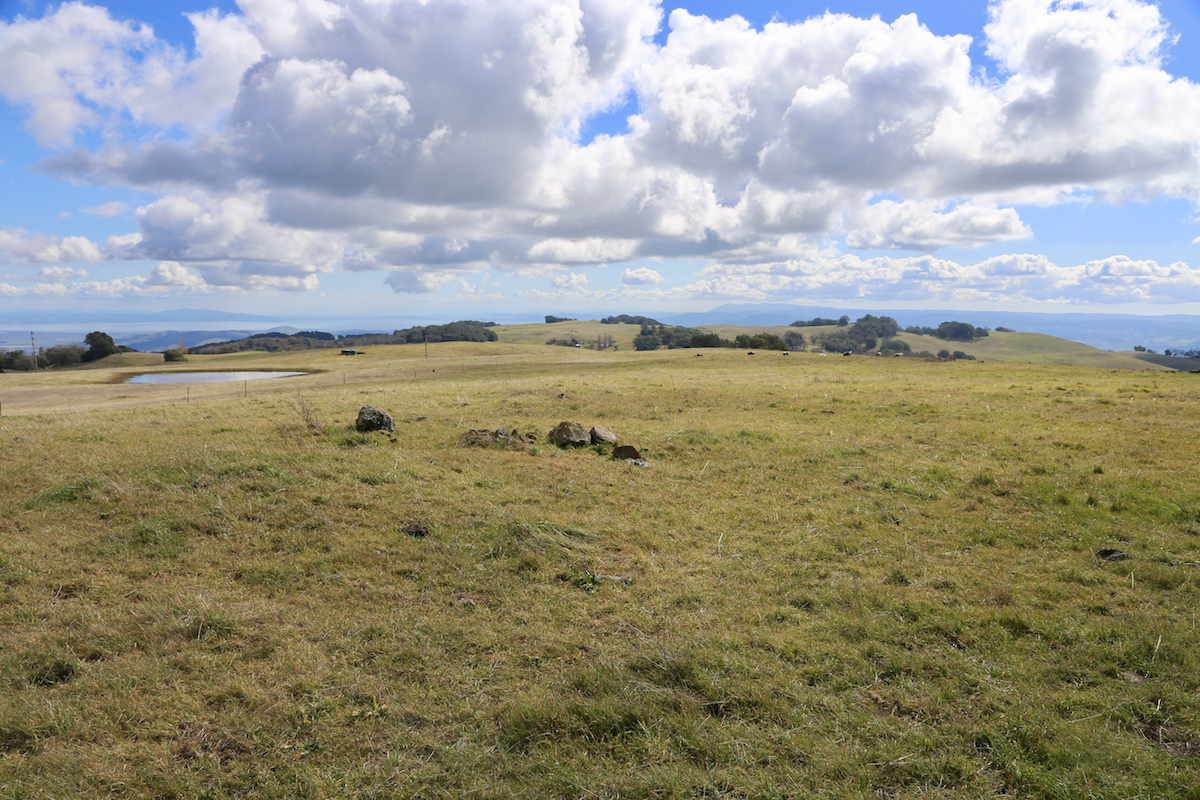
N38.34903, W122.57449, elevation about 730 meter. A bench has been placed there.
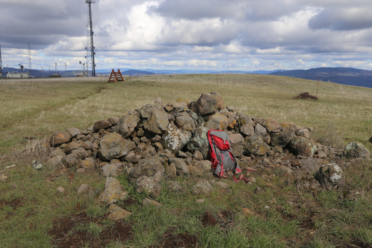
In order to get to the summit, it seems necessary to cross a few obstacles.
First, climb across the closed gate. Continue to follow the track inside this
fence. Thls will climb to a dirt road. Cross this road and aim for the highest
point ahead. Pass a small pond and arrive at an electic fence (used to
keep cows on the other side). Crawl under this fence or follow it to your
right where you will locate a fence crossing. The summit is now in sight, a
heap of rocks.
Comments:
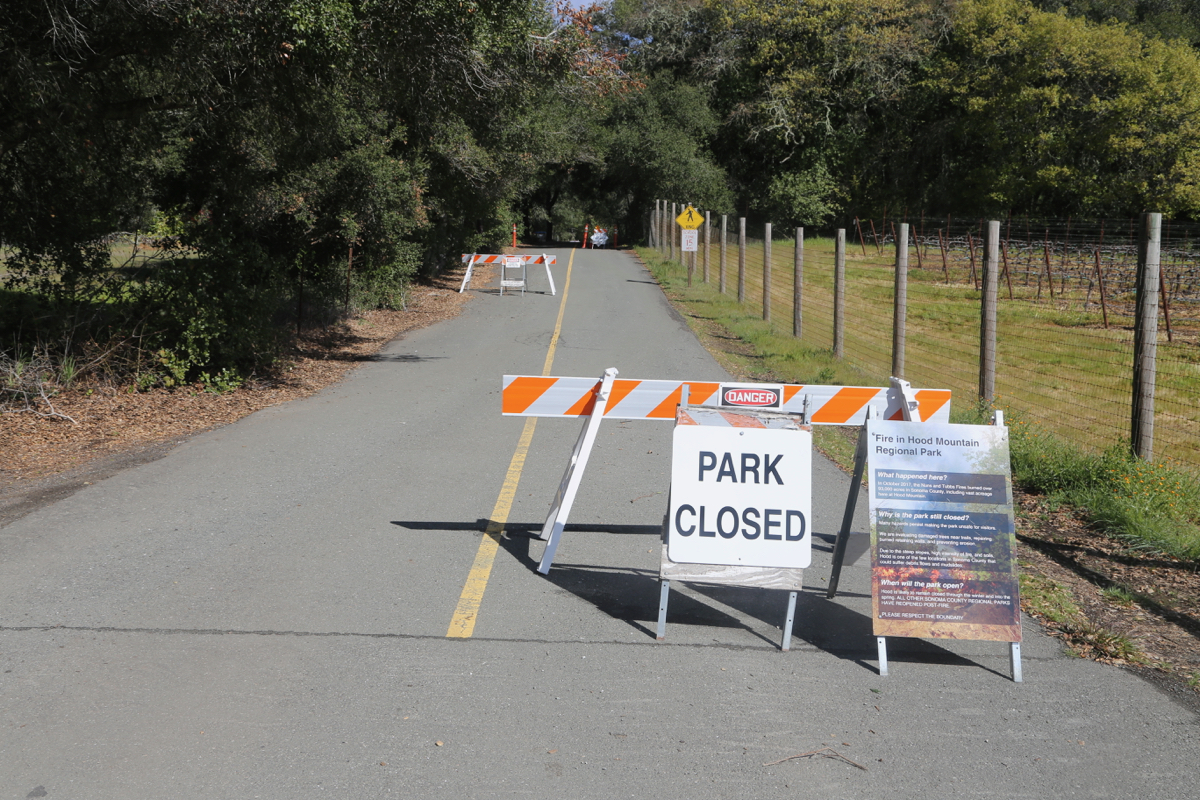
Having climbed Cobb Mountain in the morning,
my plan called for Hood Mountain
in the afternoon. However, arriving at
the access road to the park, this was
closed. I therefore decided to climb Sonoma Mountains instead.
I started at 1200 and kept a reasonable pace, arriving at the signed trail fork after
about 1:20. I first climbed the park high point, arriving there at 1330. I was a bit
confused as I thought that the park trail would lead me all the way to the
summit. Only now, it became clear that one needed to climb a few fences. My route
of ascent was not ideal, but I arrived at the summit at 1350.
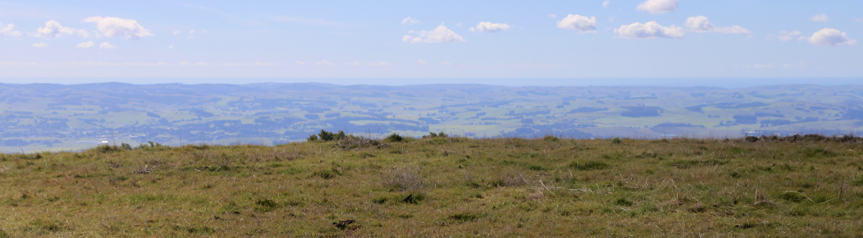
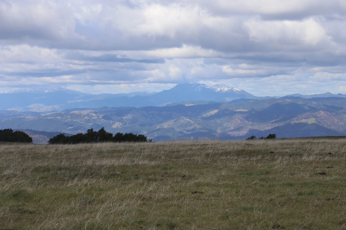
Good views all around.
A pretty extensive antenna facility is nearby. I left after
10 minutes, this time following the route outlined above. Getting to my car by
1530, the return hike took 1:30. Thus, this hike involves a fair amount of walking.
It was nice to be out of the snow that had been present earlier in my first
hike of the day.
