Location: North 60.18839, East 005.92053 (GPS at the summit)
Climbed May 26. 2018
Difficulty: YDS class 2
Information:
How to get there:
From Bergen, first drive to Eikelandsosen
(E-16 to Trengereid, Hwy. 7 Samnanger, then Hwy. 48 towards Mundheim.)
From Eikelandsosen, continue along Hwy. 48 to Mundheim. At Mundheim, turn
left and drive 2.1 kilometer to a local hill-top where a forest road goes left.
Turn left here, the forest road is closed about 100 meter from the Hwy. but
a large parking area is available. This location is at N60.17121, E005.94202, elevation about 65 meter.
Route:
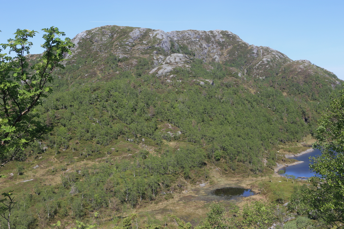
Follow the route to Steinen until you get to the small lake
in the valley between the two summits. Find a gully without to much bush (Brake, einerkratt) and
ascend the short distance to the top. There are several small trails likely made by deer, but no
proper trail that serves this summit. Comments:
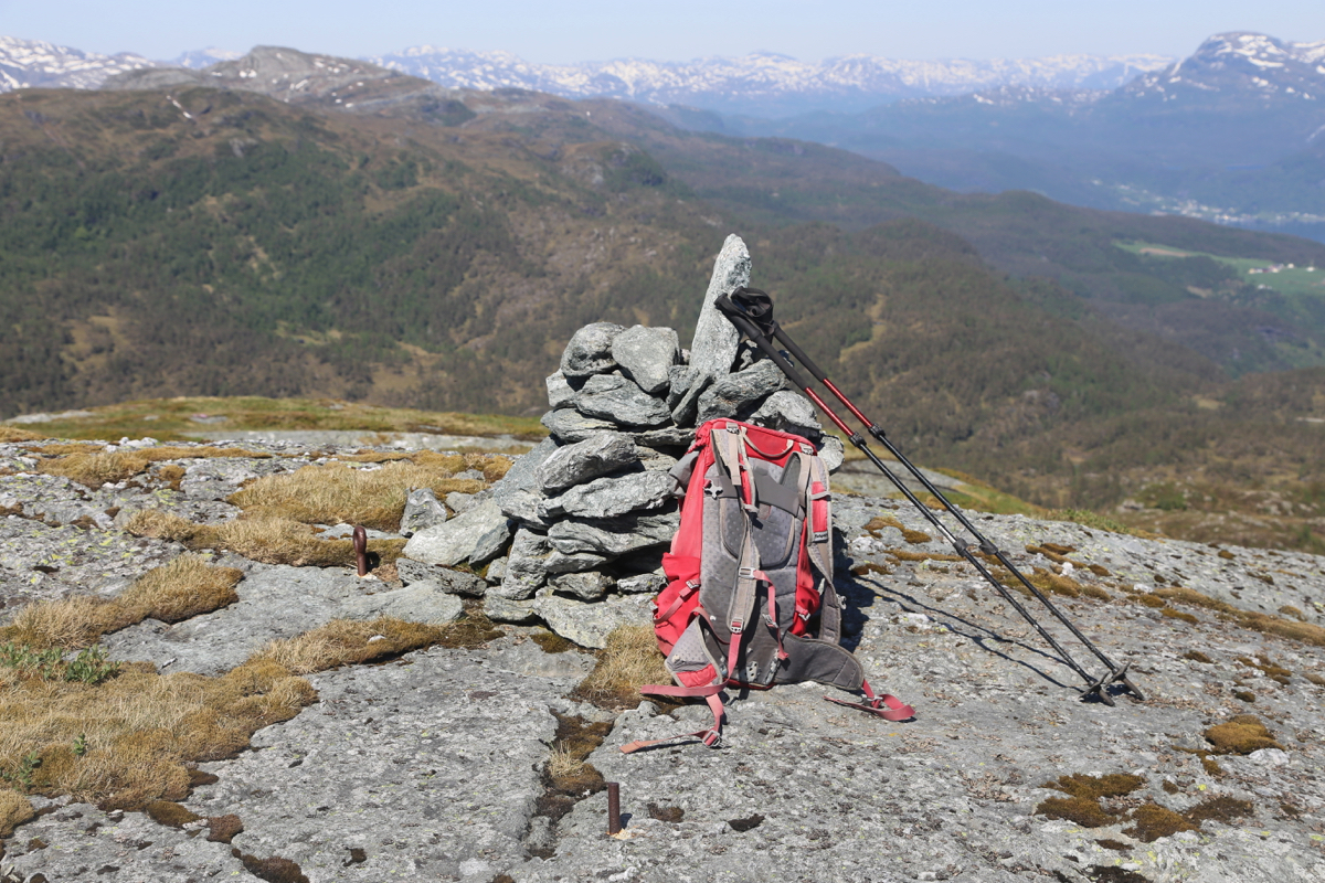
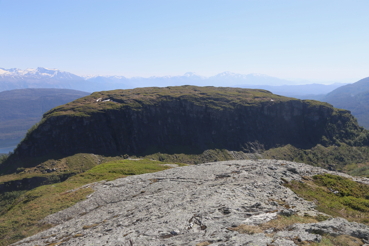
I had been to Steinen and decided to visit this peak on my way back. It is a rather
small detour, but the terrain is slightly unfriendly. I arrived at the summit at
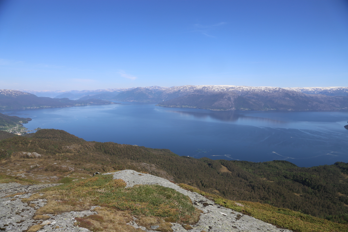
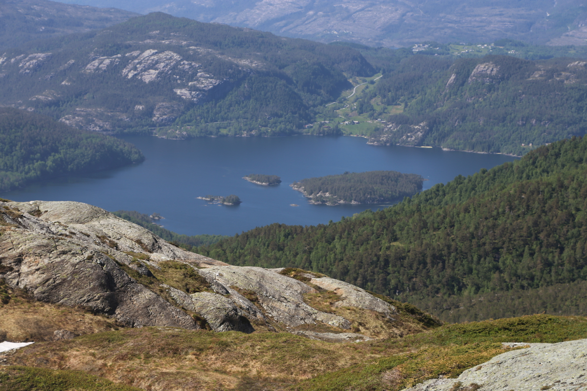
1520, one hour after leaving Steinen. The view
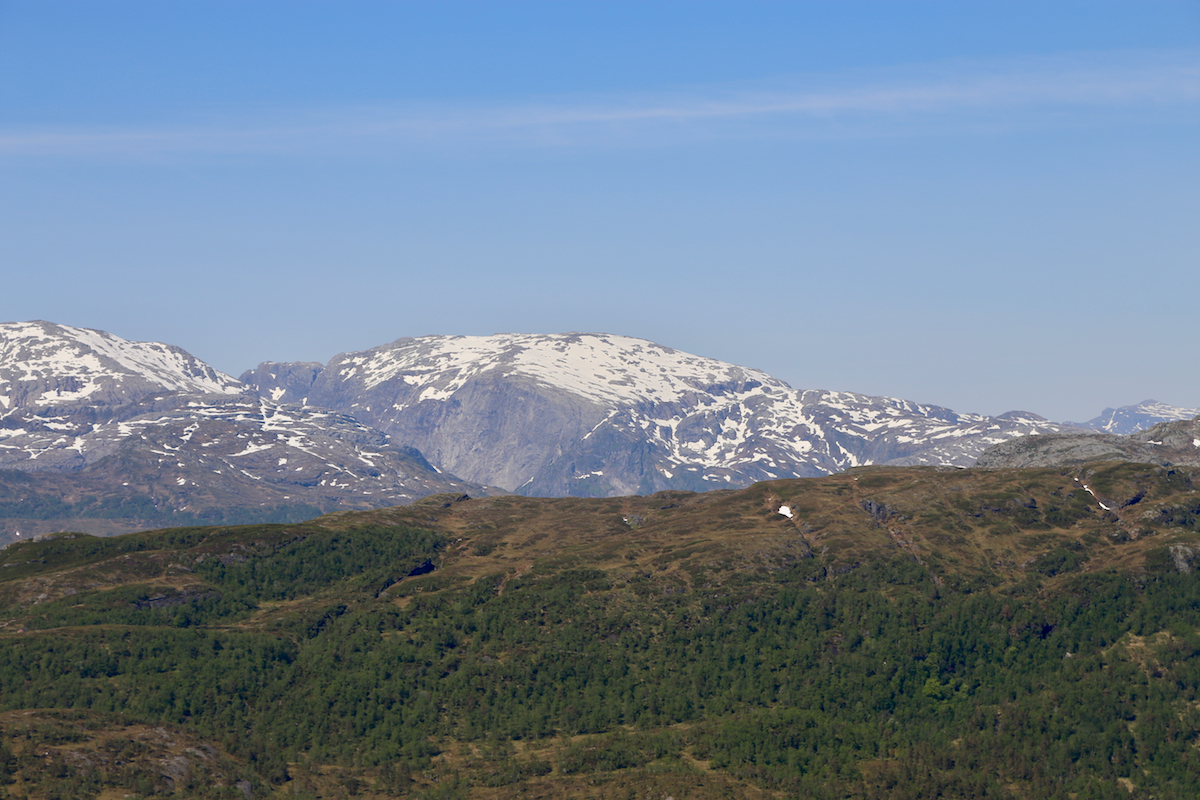
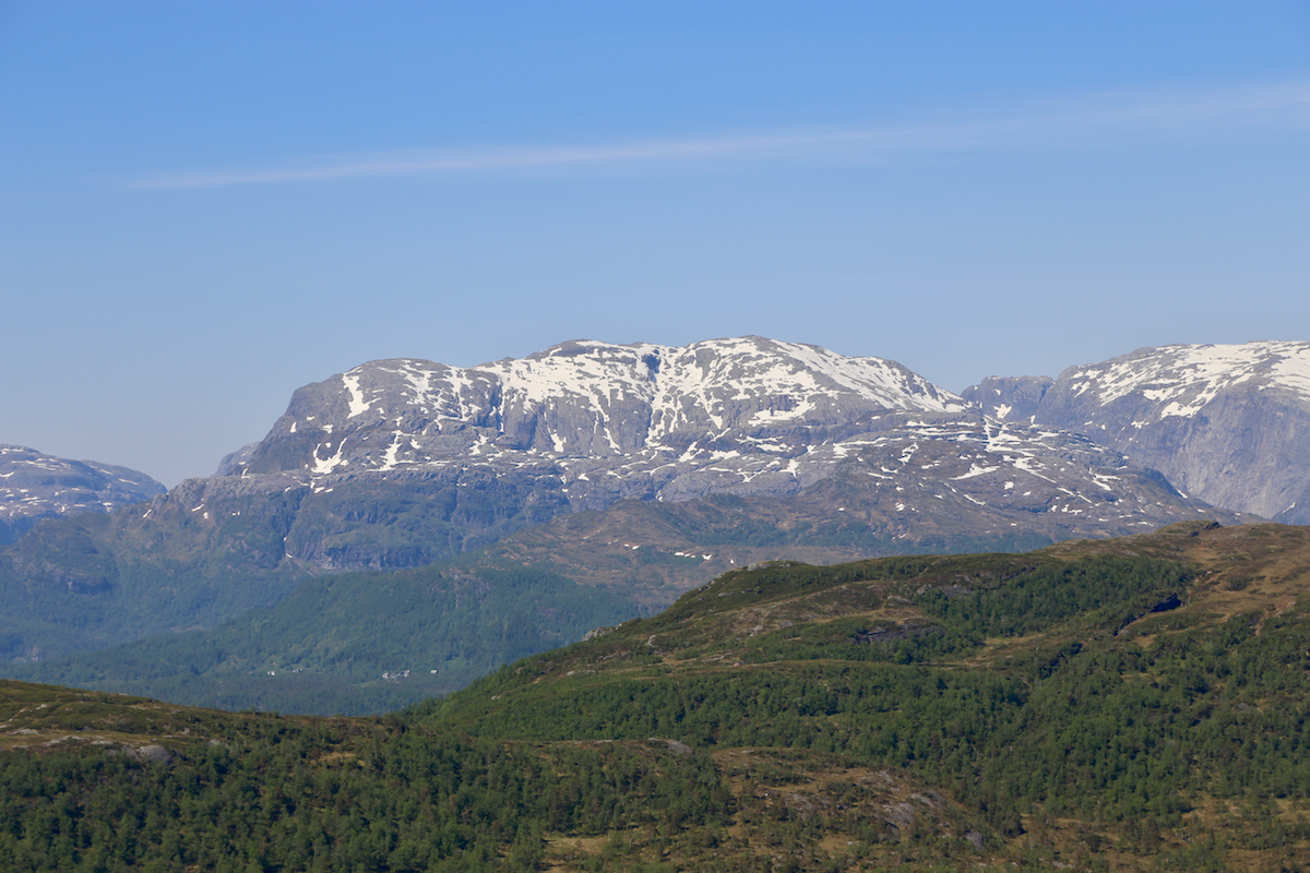
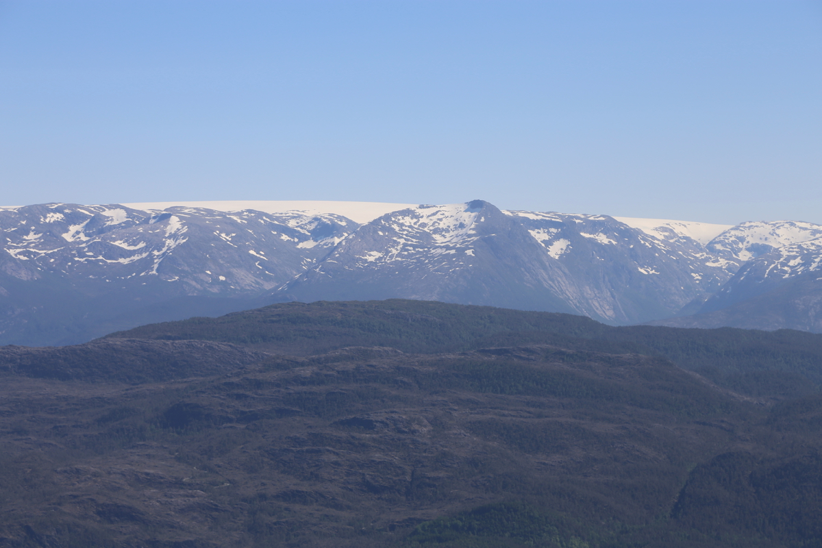
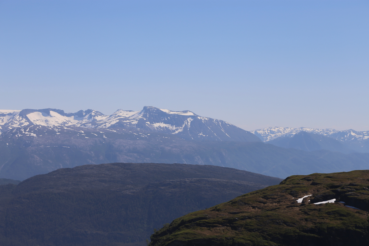
to the Hardanger fjord is quite good.
I left at 1530 and returned to my car by 1630.
