How to get there:
A possible trailhead for a summer hike is at the south end of Norddalen. Drive E-39 to Romarheim,
take the road forking right to Modalen. Continue up Modalen (Do not drive through the tunnel to
Eksingedalen.) At the north end of lake Steinslandsvatnet, continue (straight) north to the
Norddalen valley. One may continue about 400 meter along a dirt road after the paved road ends.
Park here, location N60.94286, E005.97225, elevation about 160 meter.
Route:
First, follow the T-marked route (signed for Vardadalsbu/Norddalshytten) up Norddalen.
The trail forks (serving the two huts) after about 4.5 kilometer at elevation 650 meter.
This trail is rather faint, completely gone in several places. The marking is also somewhere
hard to see/follow. Largely, the red Ts should be taken as direction for a route rather than
a trail. When you get to the signed trail fork, go left towards Vardadalsbu.
You will next ascend up to a very small lake located at 775m of elevation. You may
cross the small river before getting close to this lake or follow the trail that curves
around it. The trail next heads south-west. Follow it until you reach around
880 meter of elevation. In this area, leave the trail right and find an easy
route ascending to the summit. Comments:
We had been on Fridalsnova and headed directly across to this
summit. This crossing
took slightly less than one hour.
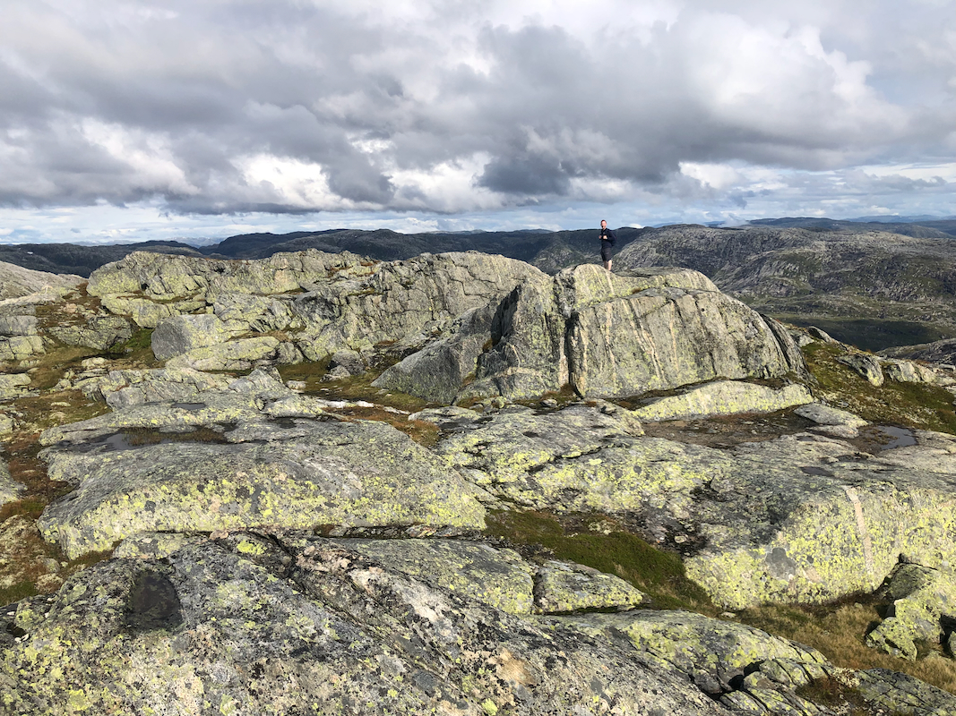
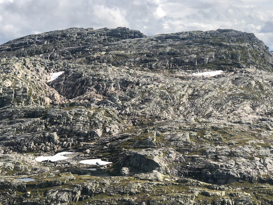
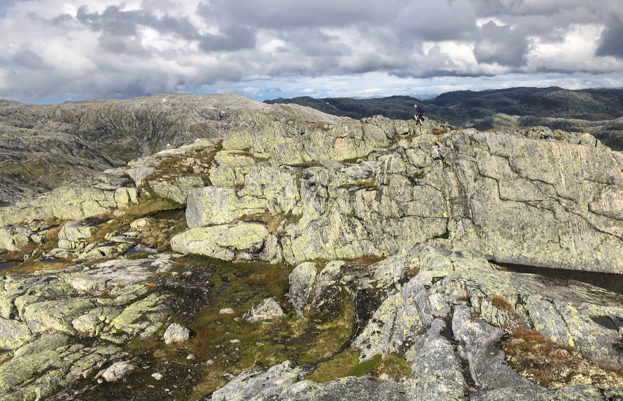
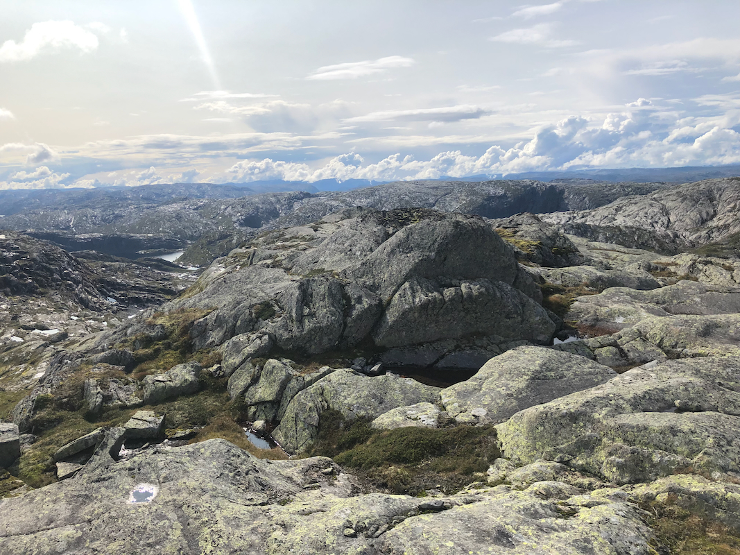
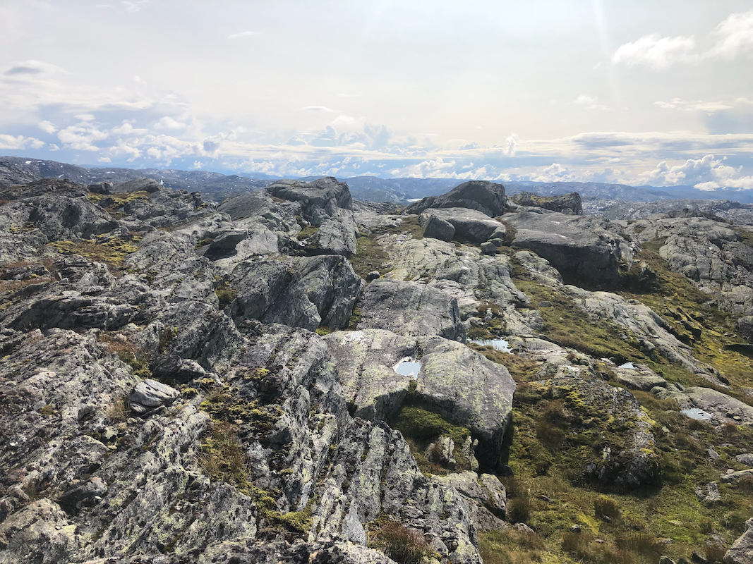
This summit has 4 competing summit points.
Careful analysis of the Lidar (laser) elevation data seems to support that
northernmost point is the highest.
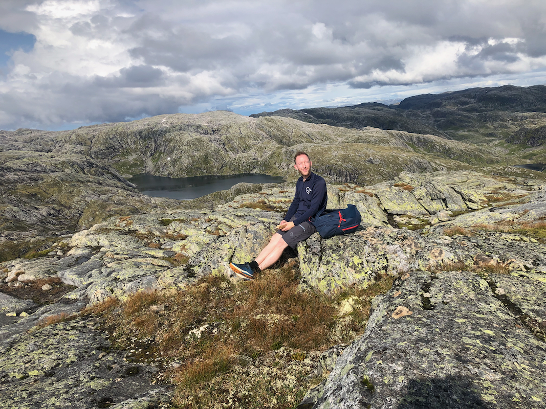
We took a break after visiting all summit contenders.
