How to get there:
A possible trailhead for a summer hike is at the south end of Norddalen. Drive E-39 to Romarheim,
take the road forking right to Modalen. Continue up Modalen (Do not drive through the tunnel to
Eksingedalen.) At the north end of lake Steinslandsvatnet, continue (straight) north to the
Norddalen valley. One may continue about 400 meter along a dirt road after the paved road ends.
Park here, location N60.94286, E005.97225, elevation about 160 meter.
Route:
We first climbed Sundagsfjellet. This section describes our
route between the two summits.
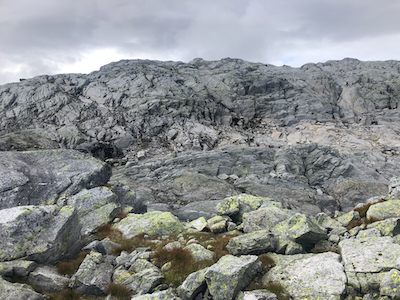
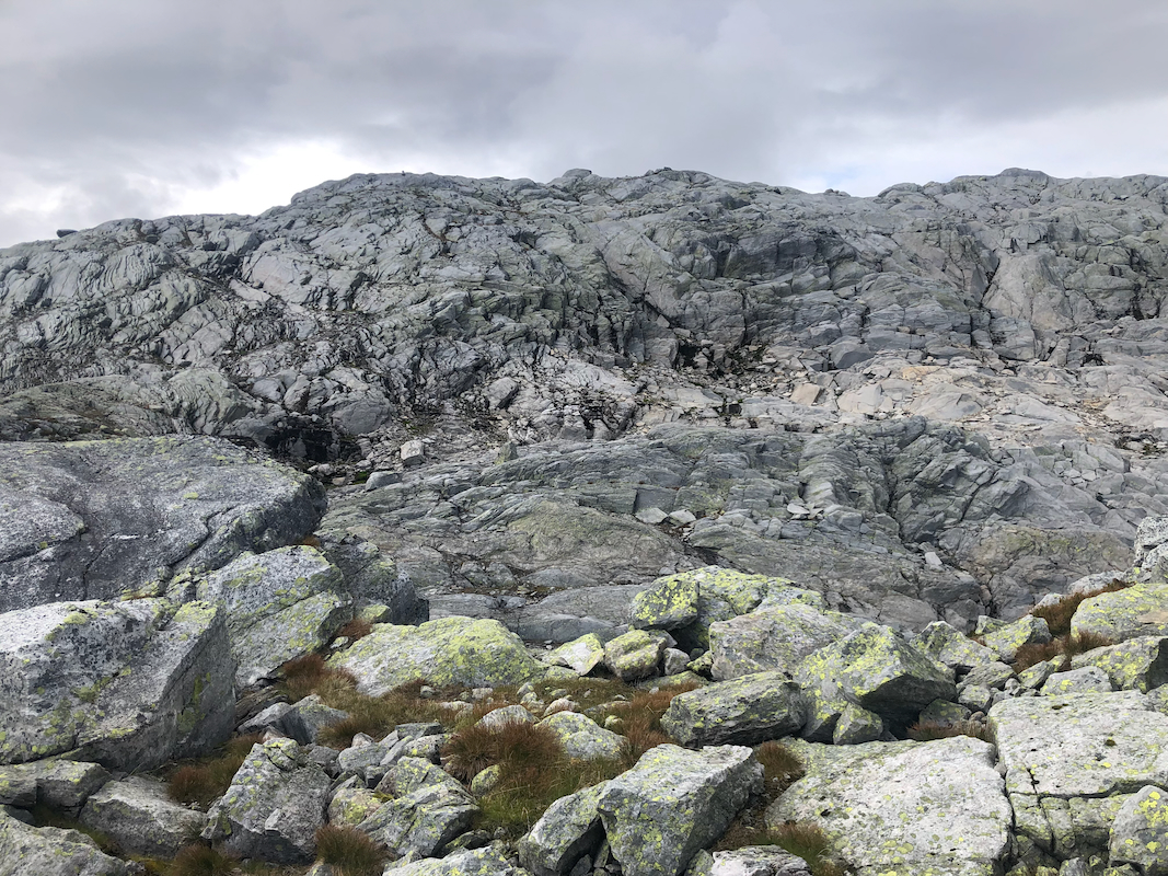
First, head towards the east side of Sundagsnova. Follow a small valley that facilitates a route
that pass just south of the two small ponds located near 1100 meter of elevation. Traverse south-west,
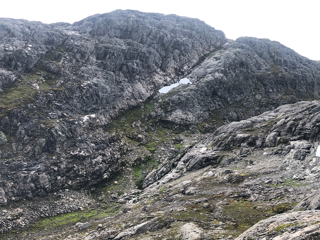
then descend easy slopes to the connecting saddle. You will see
a very attractive route
ascending on the opposite side. Follow the top ridge until you may turn west and descend a short
distance to the narrow tiny valley separating Fridalsnova
from your location. Find an easy route
up to the summit.
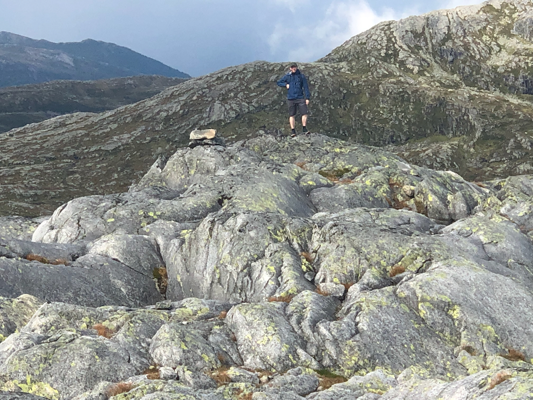
There is a small cairn, but the distinct rock a few meter more north is about 60 cm higher.
Comments:
We left Sundagsfjellet at 1300 and arrived on Fridalsnova at 1440. The weather had
now chenged for the better, sunshine and no wind. After 10 minutes on top, we continued
to the last peak on this trip, Vest of Vestrebotn.