How to get there:
This mountain is easily reached from the DNT-hut Vardadalsbu. Access from the road in Modalen requires
a bigger effort. There is space for 1-2 cars off the road (on the left side), right next to the
trailhead. This location is N60.933419, E005.971302, elevation about 135 meter.
Route:
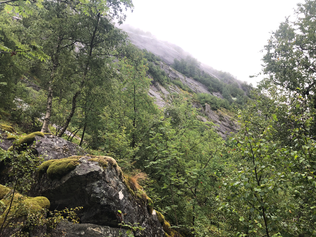
There is a T-signed trail (signed for Vardadalsbu) starting directly (go right) from the small access road.
Follow this as it climbs steeply uphill.
A bridge provides easy crossing of the small river near 540 meter of elevation.
Continue uphill along the trail until you have the small lake Kvernhusbotnvatnet, elevation 904m, on your right hand side.
Leave the trail here, go left and follow the ridge more uphill until you meet another T-signed route that originates
from the DNT-hut Vardadalsbu. Follow this route to the summit.
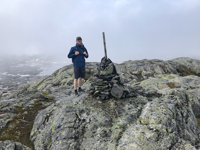
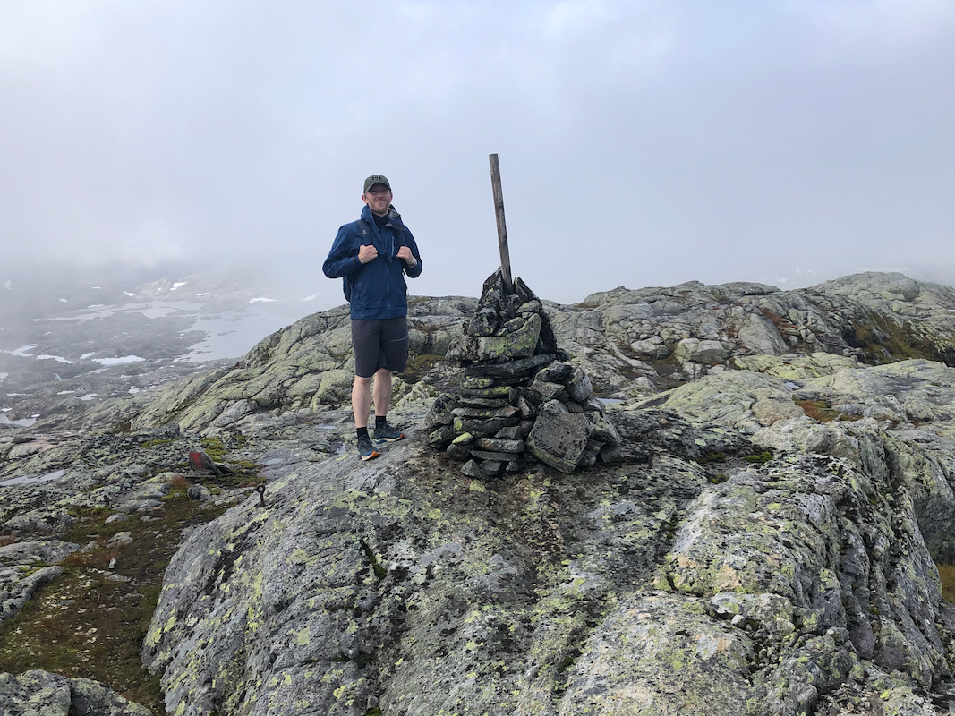
There is a small summit cairn. Comments:
I did this climb with my friend Harald. We left his place in Bergen at 0730 and were
ready to start walking at 0915. This trail seems to have limited use.
Quite steep and
somewhat slippery and muddy, likely due to recent rain and a pretty wet summer overall.
Significant uphill before a gradually more gentle hike once well above 1100 meter.
We arrived at the small cairn about 2:45 hours after we started.
Our next goal was Eldhusfjellet.