How to get there:
Drive E-6 to Vinstra. Continue up the road (east) that connects
to the Peer Gynt Setervei, mountain road. The road is a toll road
at the higher elevation area, NOK 90 (2022). Drive to the highest
point, good parking. This location is N61.66433, E009.89826, elevation near 1165 meter.
Note that this must not be confused with "Peer Gynt Vegen" located to the west.
Route description:
Take the big trail that heads directly towards the small, nearby mountain named Skarven,
the direction is north-west. Before Skarven there is a fork, one may cross over Skarven
or contour around on the east side (keep right). If you go around Skarven on its east
side, then keep left at subsequent trail forks, this route will merge back with the
alternative route in the col between Skarven and Gråhøa, but save about
50 meter of ascent.
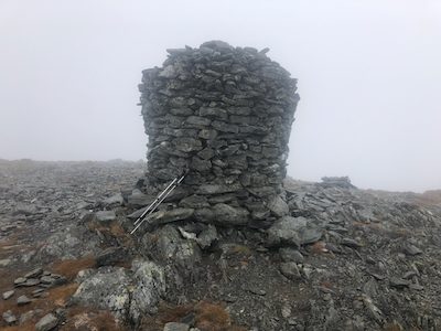
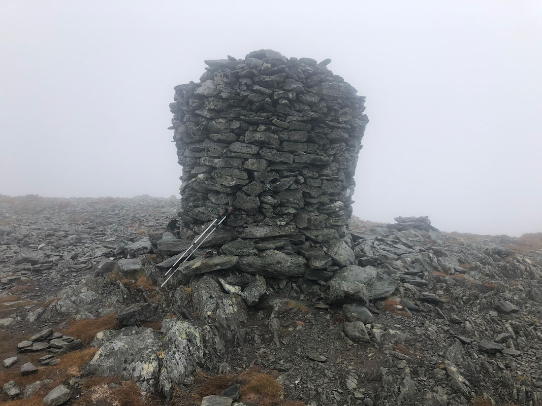
In the col, take the obvious route ascending the south-east ridge of Gråhøa.
The trail is nice and you will arrive
at a big cairn after about 1.2 kilometer ascending
about 150 meter.
Trip Report / Comments:
I was on my way from my mountain hut to a meeting to be held at Sotaseter. Since the
other participants would travel from Oslo with a later start, I had time for a few
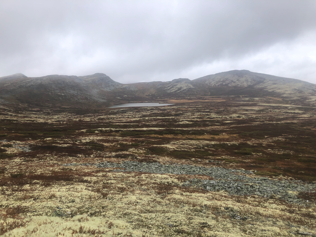
short hikes along the way. Gråhøa, with more than 500 meter of prominence
was a pretty obvious target. Unfortunately, it was raining and the clouds/fog
meant very limited visibility.
I started at 1255 and arrived on top by 1350. Ten minutes there, then a return hike in
50 minutes, back at the car by 1450, soaking wet. I decided to bypass Skarven on its
east side both ways, no point in crossing over with no visibility.
I changed the wet clothing and drove
to Otta, hoping to do one more short hike, hopefully with better weather.
My next mountain would be Haldorpiggen.