Location: North N60.54140, E005.93111 (GPS at the summit)
Difficulty (YDS) class 2
Climbed April 6. 2020
Information:
How to get there:
Drive E-16 from Bergen towards Voss. Turn right at Dale and take what used to be the road to Voss up the
narrow and quite spectacular road to Bergsdalen.
You will finish the ascent with a couple of switchbacks as you reach a lake with a dam. Continue about
6 kilometer up the valley. Locate a signed parking reserved for Høgabu on the left side of the
road, a driveway to a local farm exits at the same place. Park here, this location is
N60.57361, E005.94205, elevation about 440 meter.
Route description:
Continue to walk along the road (up the valley) a couple of hundred meter to the first
bridge on your right that crosses the river. Cross this bridge and continue a short stretch
on the road serving a farm. Fork right, the route is well marked for Høgabu in summer
and often marked well also in winter. The route ascends up a broad ridge staying right of
a small valley. Higher up, after crossing a small ridge,
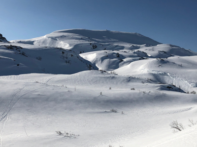
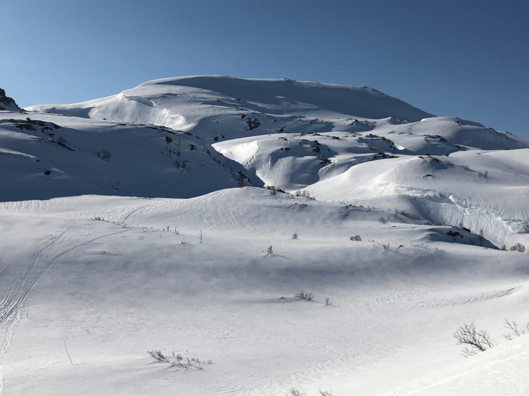
Gråfjellet comes into view.
Proceed along the cairned route that ascends towards the base of the mountain. Leave the trail
and head uphill, then traverse left to gain the main crest at its weakest point. Turn right and
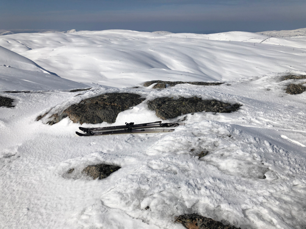
follow the main ridge to the summit. The last part of this is almost flat,
the highest point is
near the south-west of the ridge.
Comments:
I had already visited Kjerringfjellet, then transferred to the
lower Høgabu trailhead. I started at 1030 and had a very pleasant ski uphill, arriving at
the summit at 1140. It was quite strong wind near the summit, not a place to spend extra time.
I left at 1145 and spent a nice hour skiing back down.