Location: North 60.57133, East 006.04113 (GPS at the summit)
Hordaland, Norway
Difficulty: YDS class 2
Climbed April 6. 2020
Information:
How to get there:
Drive E-16 from Bergen towards Voss. Turn right at Dale and take what used to be the road to Voss up the
narrow and quite spectacular road to Bergsdalen. Drive by lake Bergsvatnet on your right hand side and
curve left just after the lake. You will see a grey powerplant building on your left, find parking here
at location N60.55453, E006.02207, elevation about 520 meter.
Route description:
Walk back along the road, about 450 meter, cross a small bridge and turn right. Follow this small
farm road climbing the hill. follow this as it climbs to some cabins just below 600 meter of elevation.
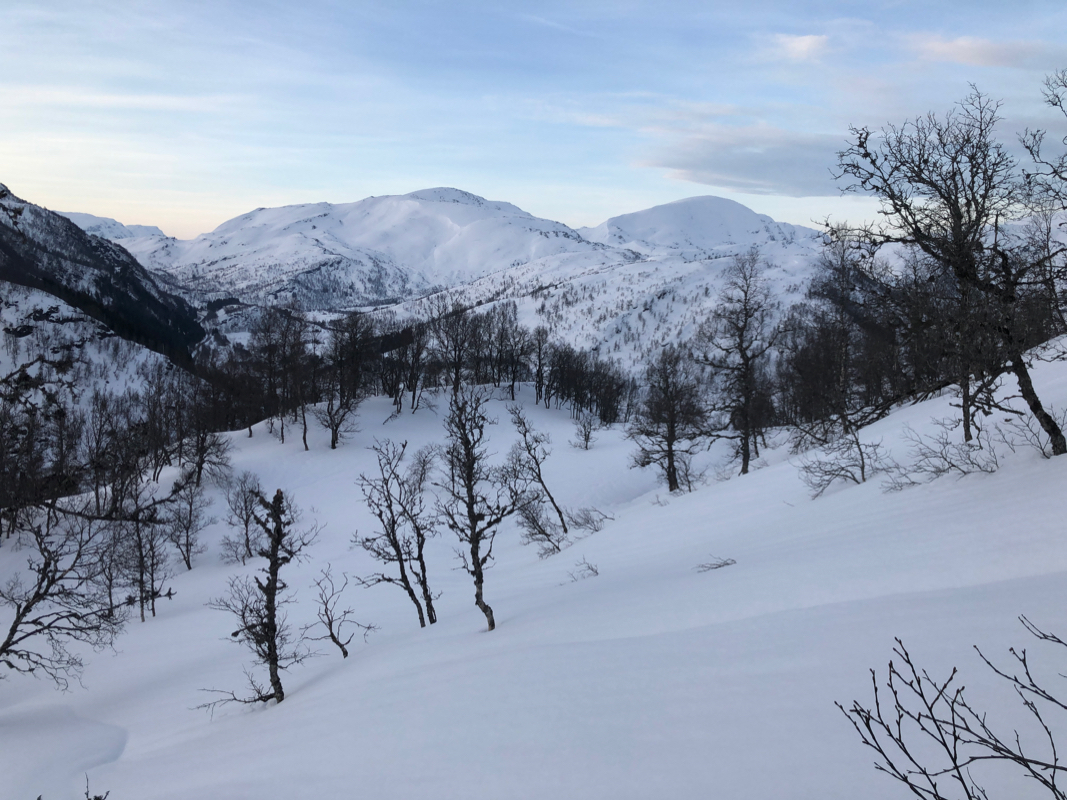
Turn left here (uphill), the best line climbs slightly left with good spacing between birch trees.
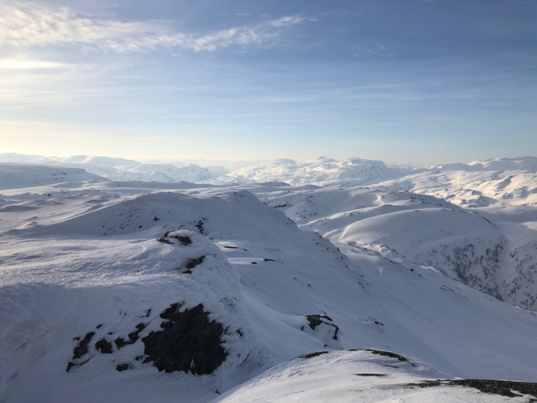
Higher up, a nice gully leads to the top ridge near 800 meter of elevation. Follow this main ridge
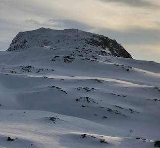
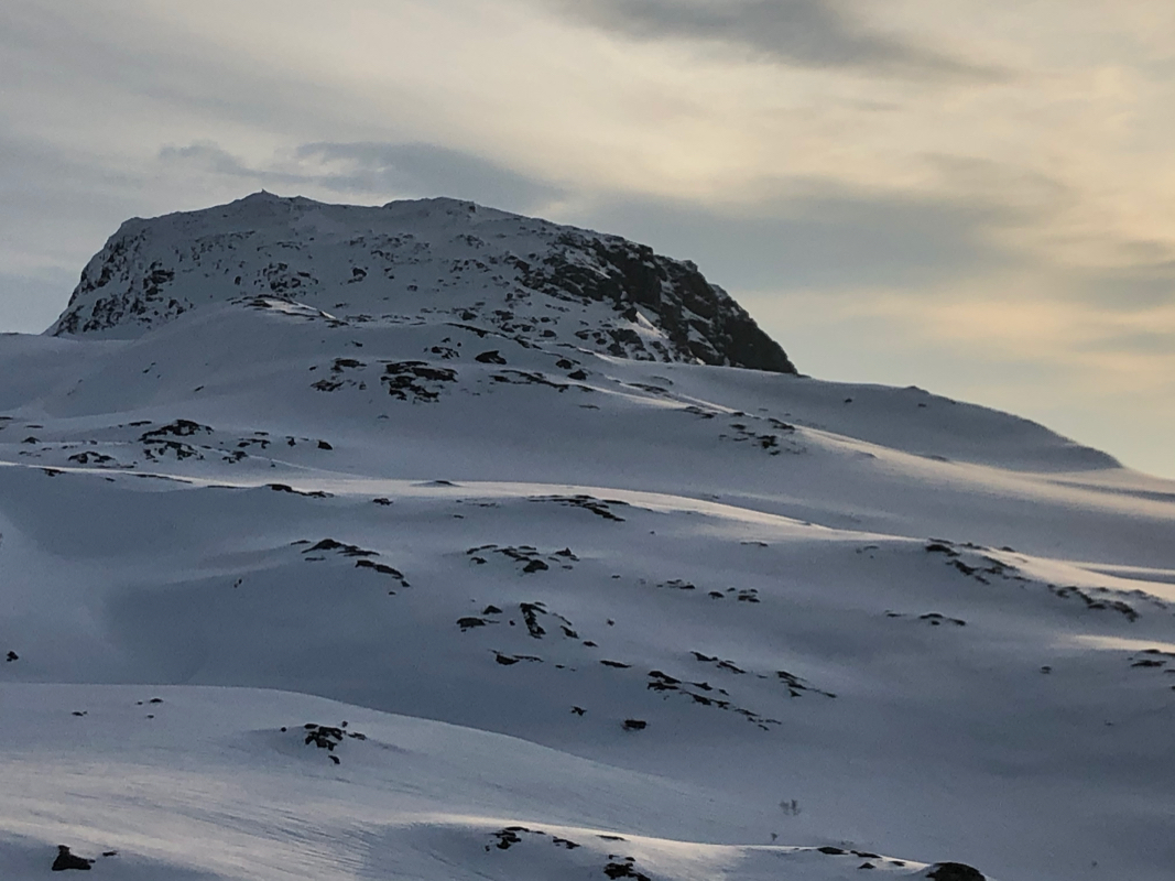
north-east, you will soon see Kjerringfjellet
ahead. Ski left (north) of the mountain, then ascend
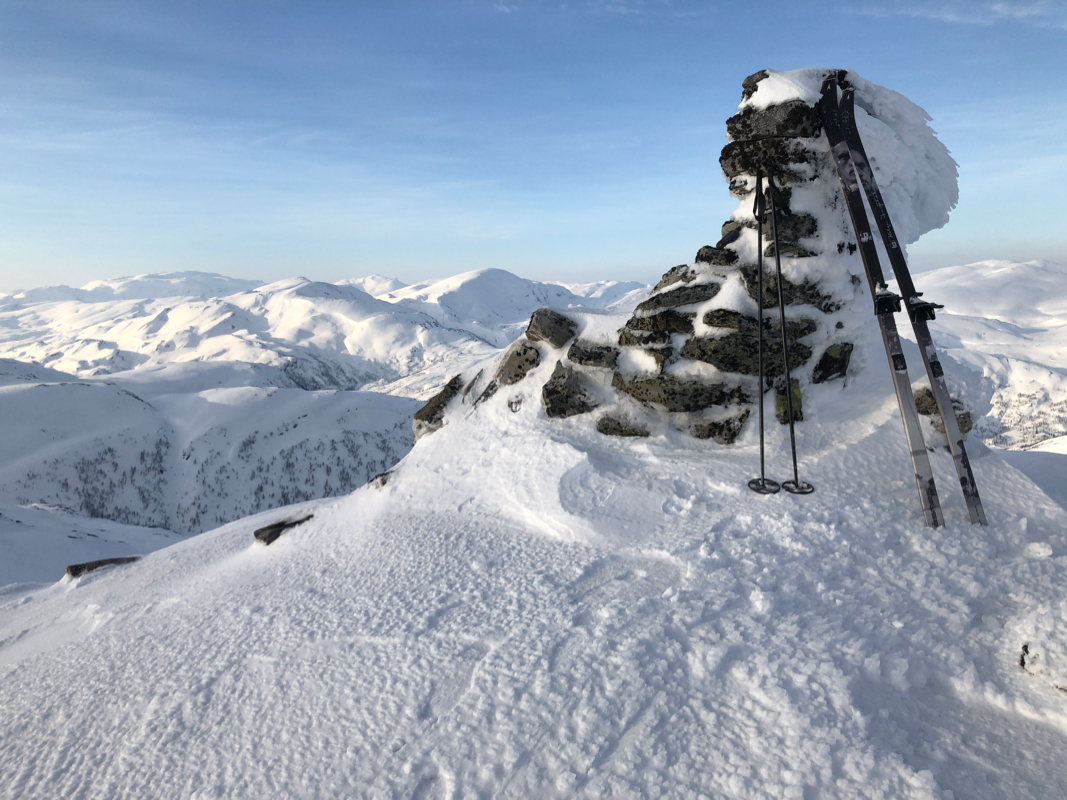
on a nice slope to the summit cairn. Comments:
I left Bergen early, parked at the powerplant and walked back to the farm road.
I was ready to ski at 0700. The route turned out to be fine, a nice hill in partly
open terrain among birch trees.
I made the main crest at its very (lower) end. From here,
a very gentle approach towards Kjerringfjellet. I passed one short section that was steeper
along the way. The final slope facing me had quite a few rocks, but it looked feasible to
ascend on skis going a bit right. I decided to ski around on the north
side, this was a good move since the slope there was very nice indeed.
I arrived at the summit at 0820, nice views all around.
Leaving at 0830, I had a nice
ski back down, arriving to the car at 0930.