Location: North 001.65983, East 035.38196 (GPS on the summit)
Difficulty: YDS class 1
Climbed February 8. 2020.
Information:
How to get there:
This peak is north of the Cherangani Hills, separated by a deep cut. The best way there
is to drive across the Cherangani Hills or coming north from the town of Kitale, then north
via Kapenguria and north-east through the deep cut to the fork where B-4 comes from the south.
Continue to location N1.559, E35.460. There is a fork going left here, it has a sign for the Eco Lodge.
Turn left, the road from here to the Eco lodge is about 15 kilometer and you do need a 4WD.
First, the road runs to the hill, then it climbs the hill, on this section there are two
tarmac stripes that you should drive on, some of the steeper curves have tarmac all over.
The road will climb to a fairly horizontal ridge, then follow this before descending
left. The road has rough spots. You cross a saddle before descending into this secluded valley with a small town
center. Turn right in this little town and continue a few hundred meter, you will then locate
the gate to the Eco lodge on your left hand side. This location is
N01.61320, E035.40686, elevation about 1915 meter.
Route description:
The most direct route starts out from the town center, runs a short distance up the valley
before crossing to the right (correct) side. The trail will climb pretty steady in order to
reach the main saddle on
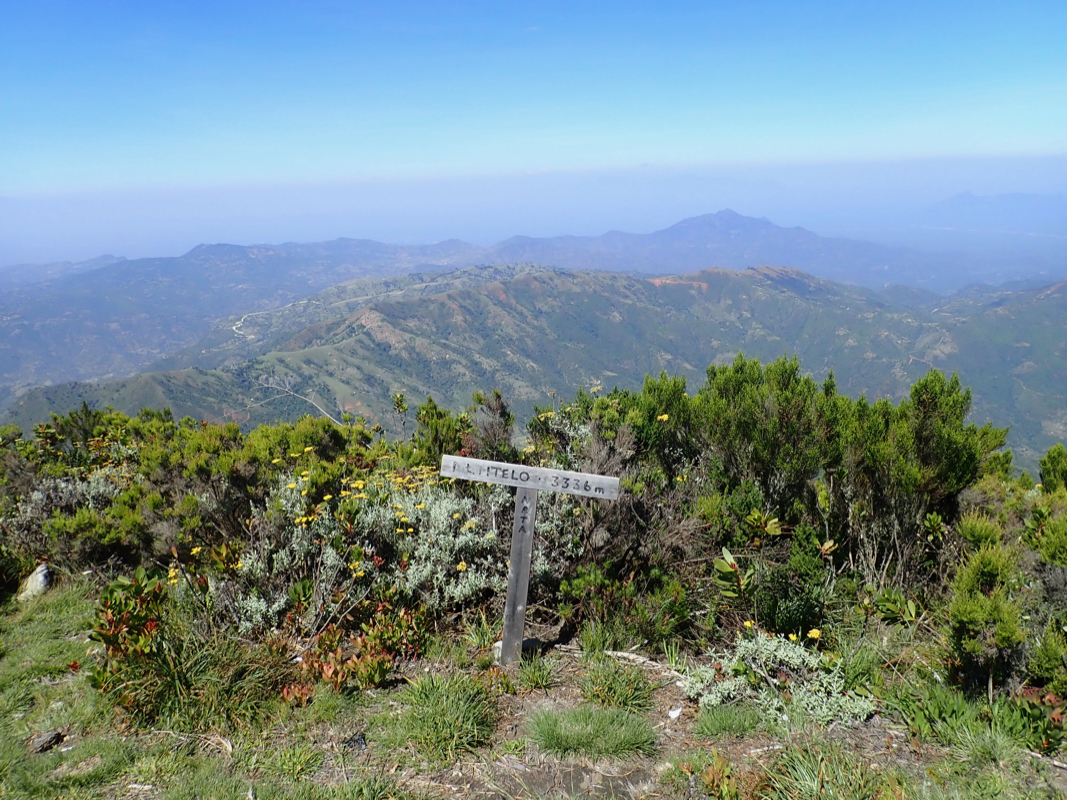
the south ridge at location N01.63594, E035.40046, elevation about 2400 meter.
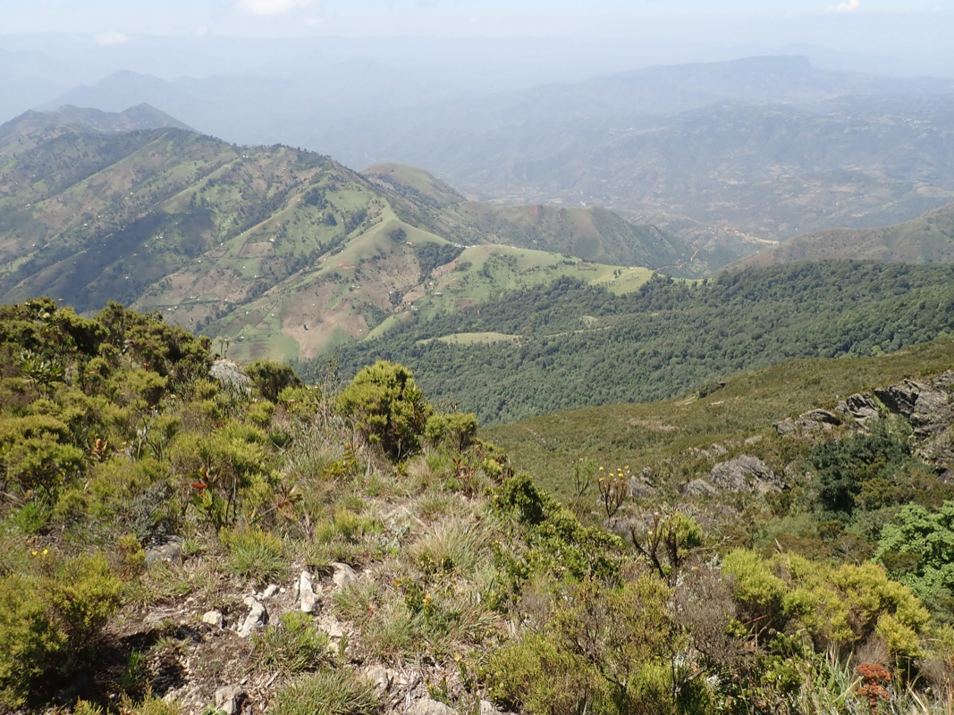
The trail continues more or less directly up the ridge, running a bit on the right side
initially. Overall, it is certainly reasonable to take a local guide along on this climb.
Higher up, the trail is quite narrow with vegetation on the sides. There are a few false summits
near the top, the ridge climbs more gently here and the distance is longer than it looks before you
reach a nice, open summit area.
There is an alternative route that may be considered for the return. Proceed directly down south-west to
location N01.65664, E035.37869, elevation about 3180 meter. If the trail is vague in the beginning, just head
down to this point, the trail is clear here.
This can be followed down to
the very distinct saddle at location
N01.64099, E035.37063, elevation about 2520 meter.
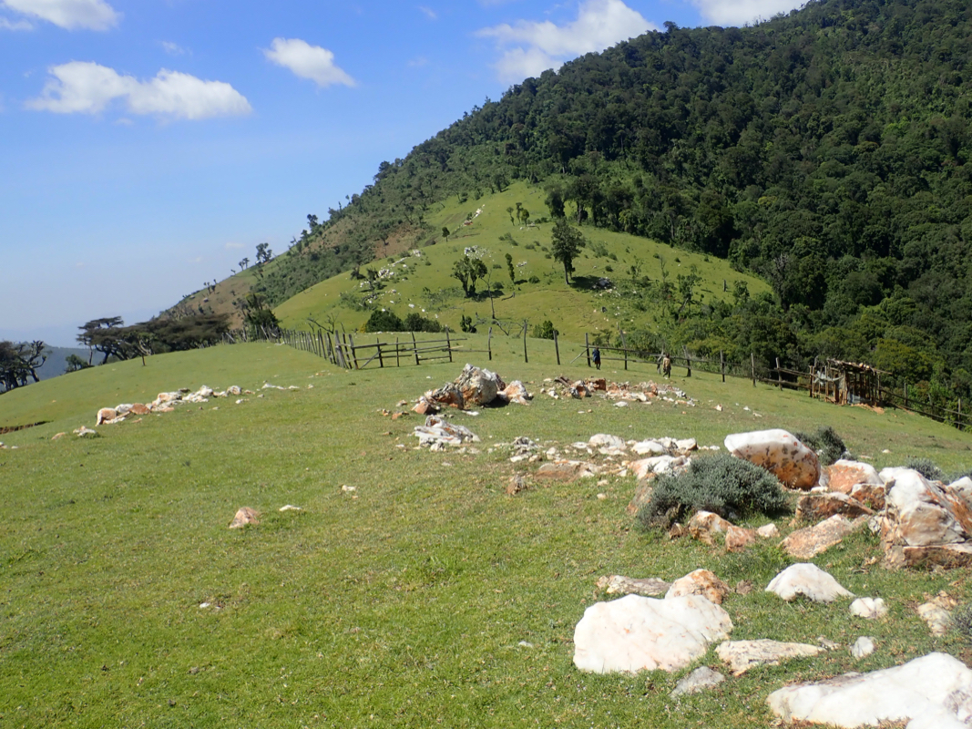
Continue along the ridge as it makes another drop, there
are several huts at this lowest point. From here, the trail runs down the valley, staying up on the right hand
side and making several bends to (in and out) to cross side valleys from your right. Eventually, the route
gets onto a dirt road that leads back to the (small) town center.
Comments:
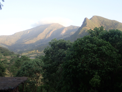
This previous part of this trip report covers our ascent of Nakugen.
We drove from Tangul after a succeesful climb of Nakugen. With paved roads, we had an optimistic
goal of reaching the Eco lodge at the base of Mtelo before dark. This almost worked, we arrived
at the turn-off before dark, but the rough 15 kilometer road up to the lodge would make us arrive
shortly after daylight ended. No big issue, we drove the interesting road, then asked about the
Eco lodge in the small town center. Arriving there around 1930
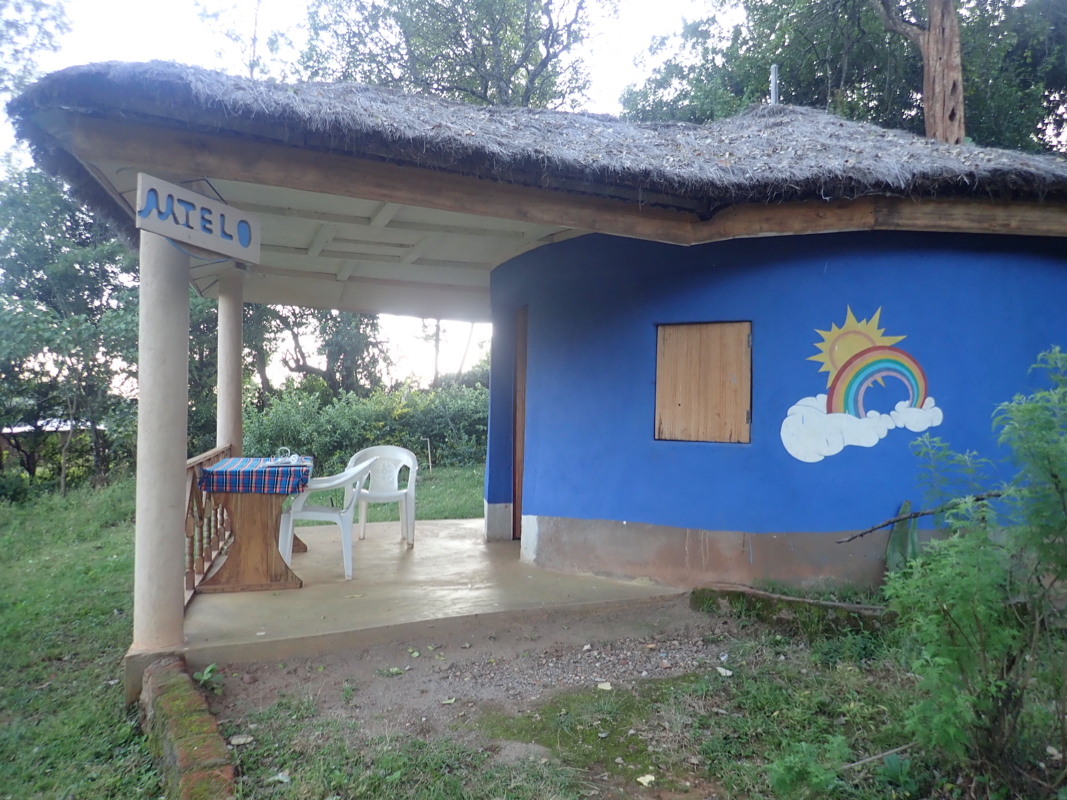
John was not at home, he did not guess that we would arrive today. The staff took
well care of us, we got the small hut named Mtelo.
Dinner was served and a bit later,
John showed up. We agreed on breakfast
at 0730. John would hire a guide for us that would show up at 0800.
We started at 0810, the guide was in good shape and we followed well established trails
to reach the main ridge, 2500 meter, at 0910.
After about 5 minutes break, we continued uphill,
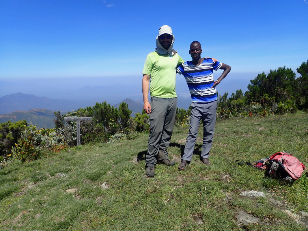
arriving at the summit at 1108, so 2:58 up.
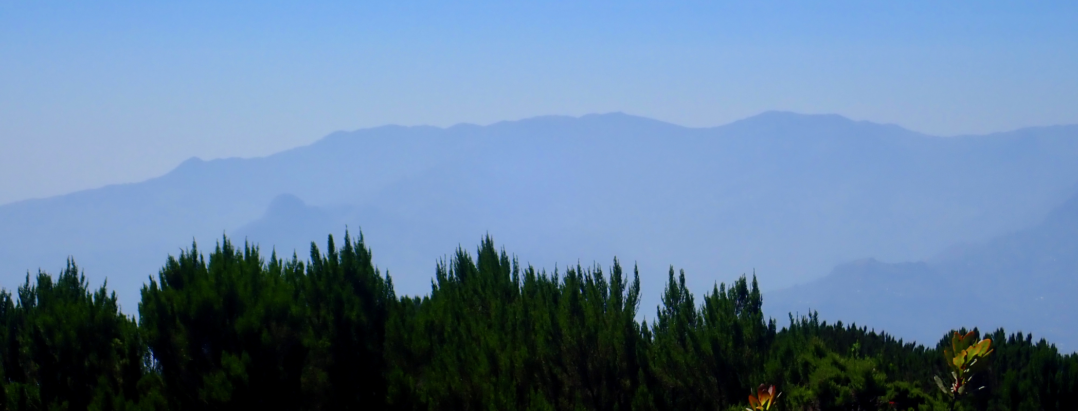
A nice summit with good views all around. The plan was to descend the west ridge, this had been
recommended and agreed with John. When I headed in that direction, our guide insisted that
we descend the same way as we had arrived. He told us that the trail to the west ridge would
fork off a bit lower down.
This seemed a bit strange, but no reason to worry. The guide took us directly up along good trails,
he obviously knew the mountain. However, we descended more than I liked and we stopped and asked
a few more times. We got all the way down to elevation 2970 meter before the guide (finally!)
forked right. The trouble was that we would not get onto the west ridge unless we did a quite
long traverse across the face of the mountain. The trail turned out to be more bushwack than
trail, not used by many people. We complained, but there was not much to do about the
situation. Even worse, we started to ascend while traversing. After a 2 hour fight, we were
back on the ridge at elevation 3200 meter. We could see the summit about 400 meter away, and a nice
trail descending from it.
We were back at 1600, 1.5 hours more to descend than our ascent. This was the only case of being
badly misled by a completely incompetent guide. We wanted to make it to Kitale before dark, this was
now unlikely. We scrambled around to leave as quickly as possible. We met John briefly and told him
about the incident. He must educate his guides or find somebody else.
This trip report continues with Kadam.