Location: North 02.52523, East 034.77218 (GPS on the summit)
Difficulty: YDS class 2
Climbed February 12. 2020.
Information:
How to get there:
The town of Moroto is a good starting point. This town has
most services, banks, hotels, grocery and retail stores.
From Moroto, take the road that leaves town going south (you
most likely came into Moroto from the west). This is a fairly
rough dirt road. Continue to location N02.38115, E34.81695.
Turn left here and drive up to the catholic mission, keep left at
one fork about half way there. You will pass through a small
village, the mission is at the and of the road at the top of
a final uphill. Get permission to park here.
This location is N02.46328, E034.78507, elevation about 1720 meter.
Route description:
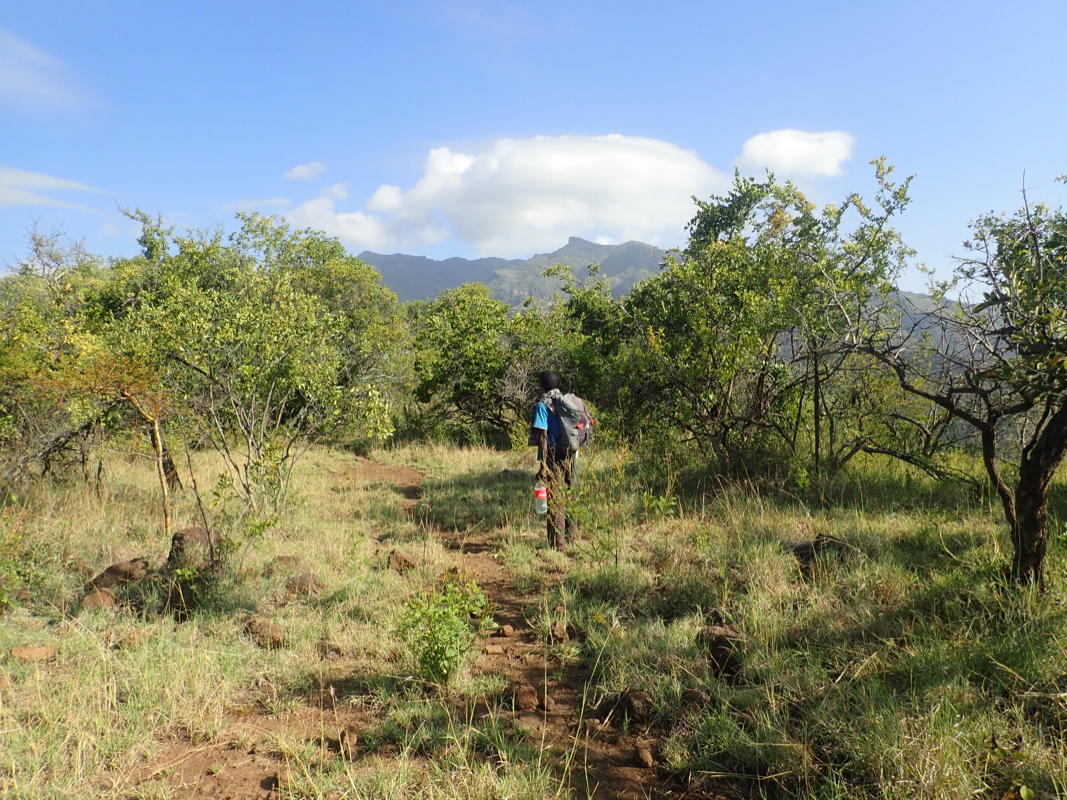
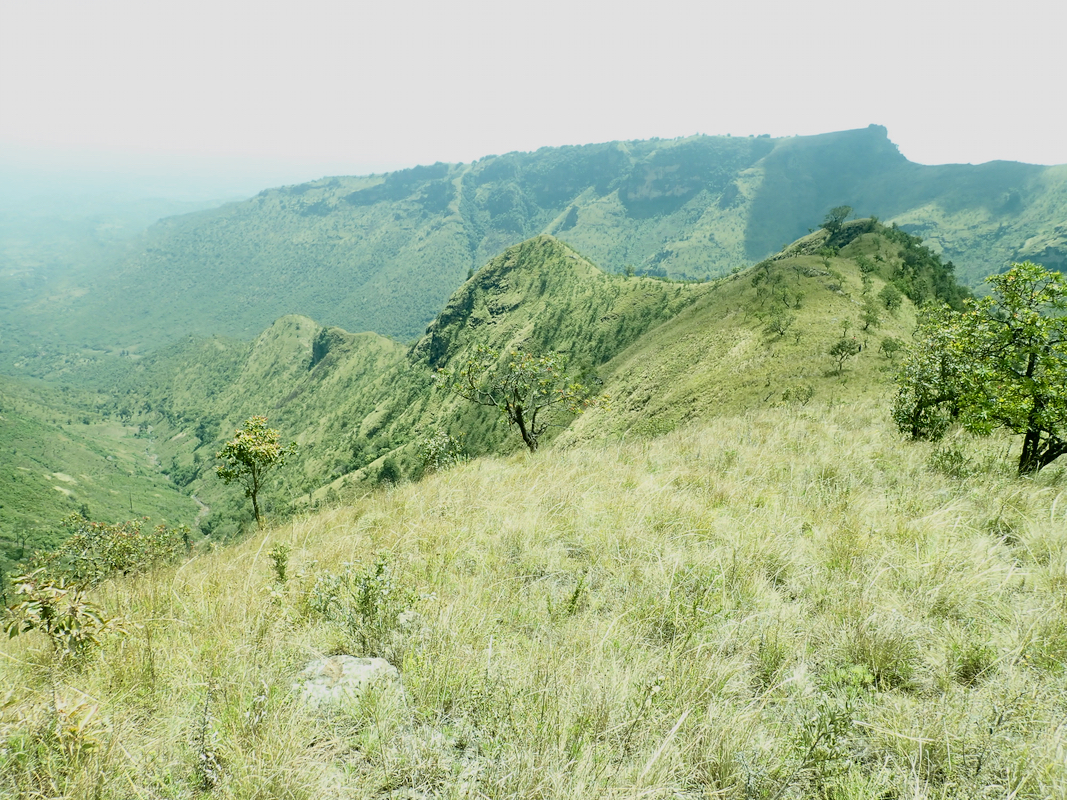
Return to the monastry gate, turn left (uphill). Follow trails uphill
going north-east to gain the distinct ridge located about 500 meter away.
A clear trail runs along the top of this ridge.
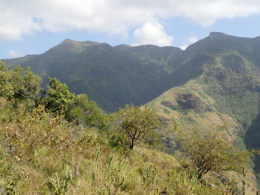
The ridge is pretty flat
along a section that is about 2 kilometer
long, then it connects to
terrain where it climbs more sustained.
Still, there are several small bumps along the way. Near the top, one bump is
avoided as the trail traverses on the right (east) side.
Next, the trail curves
around to the right, before a
final ascent to the top. This final section
makes a traverse right before gaining the top.
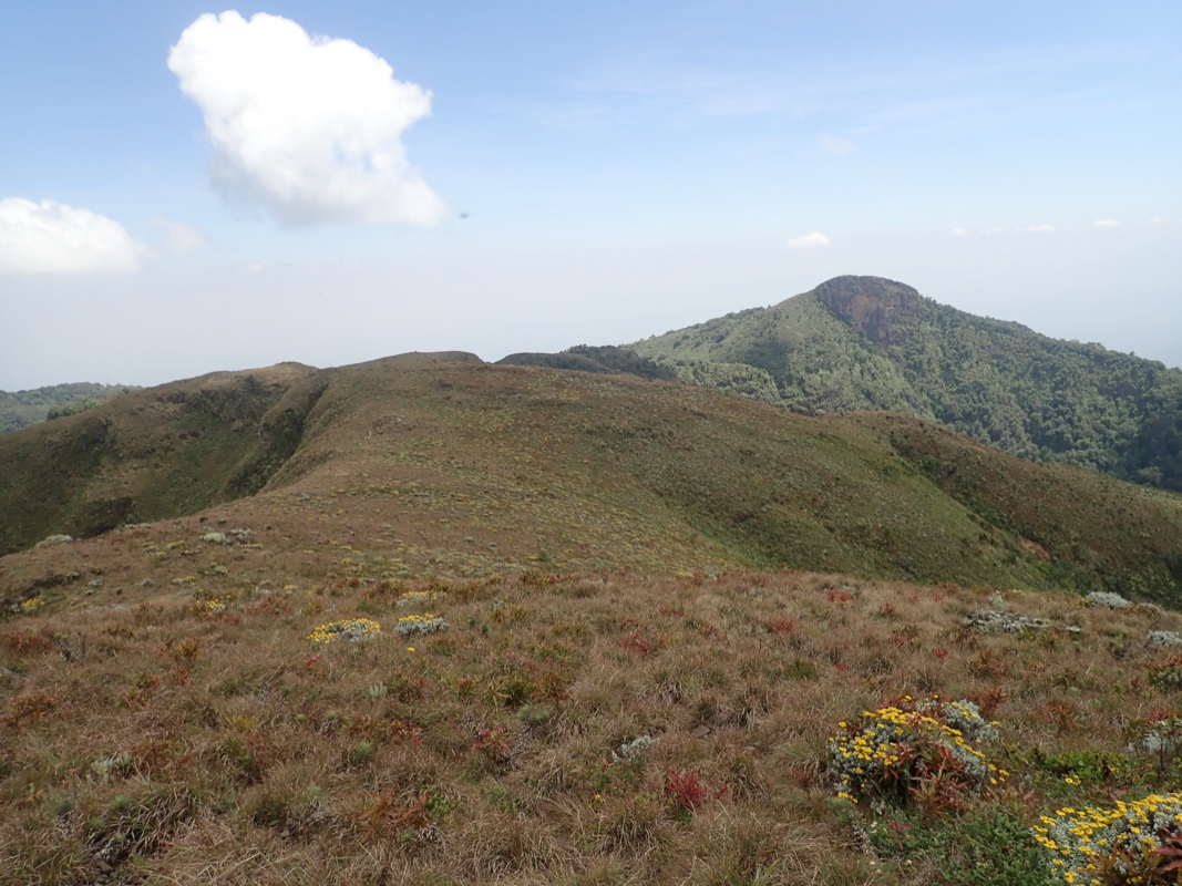
There are alternative routes. We explored one when descending. At roughly
2750 meter of elevation the ridge splits. We ascended from the left (when
looking downhill), however, we descended
on the right hand branch.
This ridge splits once more, we stayed on the right fork. Near the valley floor,
a trail runs out the valley staying up on the left hand side when looking
towards the mission.
Comments:
The previous part of this trip report describes the ascent of Mount Kadam.
We had an easy morning in Nakapiripirit, then left after breakfast. To our big surprise
and delight, the road to Moroto turned out to be paved. The drive was easy. First on the
agenda in Moroto would be to buy more local currency in a bank, then see if we
could get a new fuelfilter. I entered what looked like the biggest bank and asked a man sitting
with a desk if I could buy Uganda shillings using USD. He said yes and directed me to window 1.
There was a queue there, I waited with patience until being served. The clerk immediately
told me that they only did this if I already had an account with the bank. Less than happy
I exited, telling the man I talked to some words of advice in passing. The next door bank was
OK with exchange, however after 5 minutes of examining Adam's USD 100 bill, declared it to
be counterfeit. I entered what looked like the biggest bank and asked a man sitting
with a desk if I could buy Uganda shillings using USD. He said yes and directed me to window 1.
There was a queue there, I waited with patience until being served. The clerk immediately
told me that they only did this if I already had an account with the bank. Less than happy
I exited, telling the man I talked to some words of advice in passing. The next door bank was
OK with exchange, however after 5 minutes of examining Adam's USD 100 bill, declared it to
be counterfeit. Well, my USD 50 bills were OK, so I bought the problem bill from Adam and gave the
bank only USD 50 bills. Next, the fuelfilter. We found one for 65.000 shillings, almost correct,
but it did not work in the end. Finally, looking for a hotel driving uphill in town.
There, we accidentally noticed the sign of Karatunga tours. These were the people I had
sent email while doing research for this trip. We decided to check in with them, making the
logistics of the two next days a bit easier. We were warmly received and suddenly observe
a somewhat more international atmosphere. The next table had 4 Swedes (living in Uganda),
nice with some small talk about skiing etc.
All was now organized for our climb the next day. The fact that we had done Kadam in a single
day convinced them that we could do Moroto also as a single day hike. They informed us that
they already had a party on the mountain doing the peak as a 3 day hike.
The next morning, we had a nice breakfast (pancakes!), then left around 0700. We used our
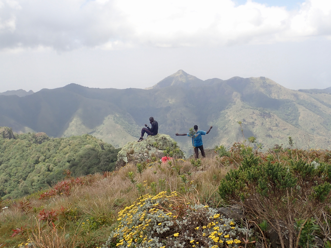
own car and took one Karatunga guide along. We would pick up a second, local guide in
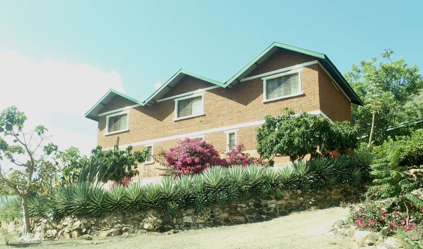
the village near the monastry. The monastry was
a well kept, big building overlooking
the village. We started walking at 0820. The route was
easy, quite flat along the ridge before ascending across several hills. There was a short section
with slight exposure were a supporting hand made things easy - YDS class 2, otherwise really
class 1.
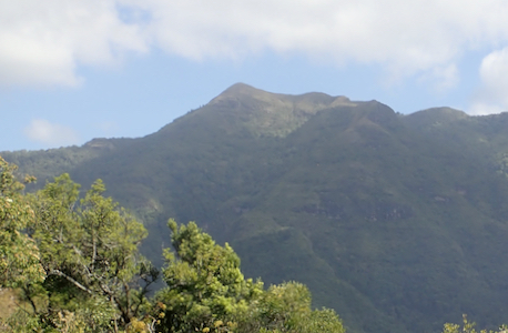
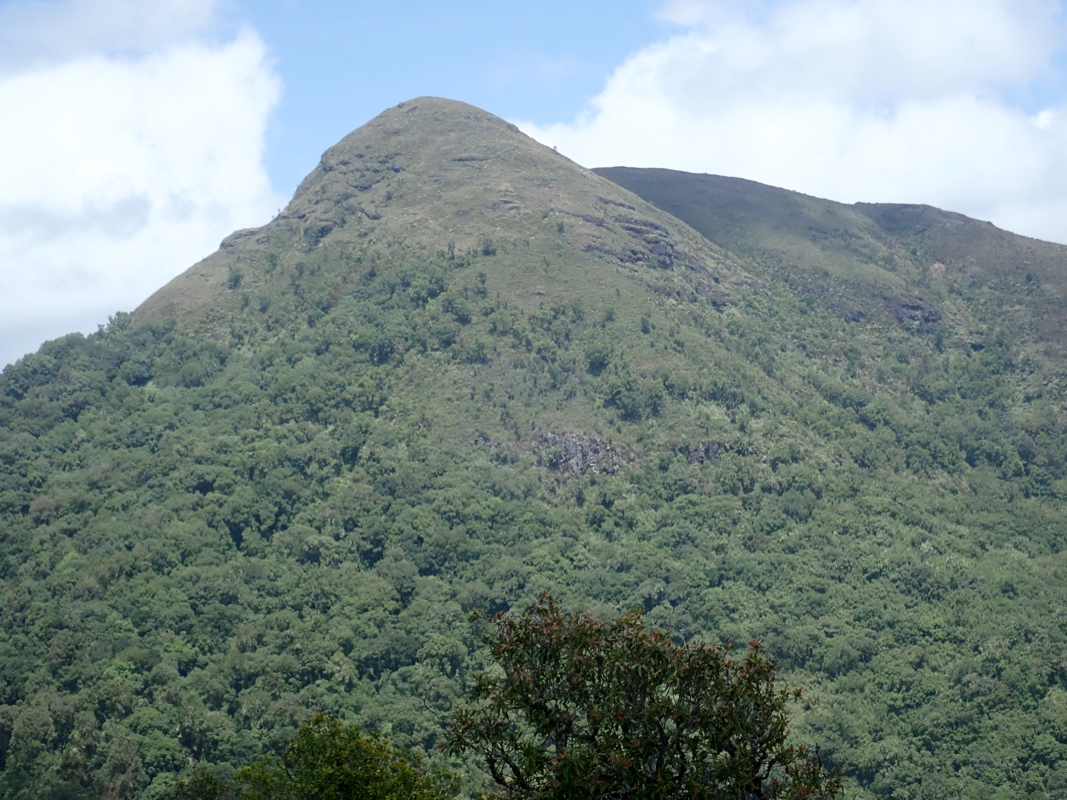
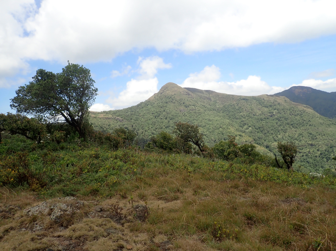
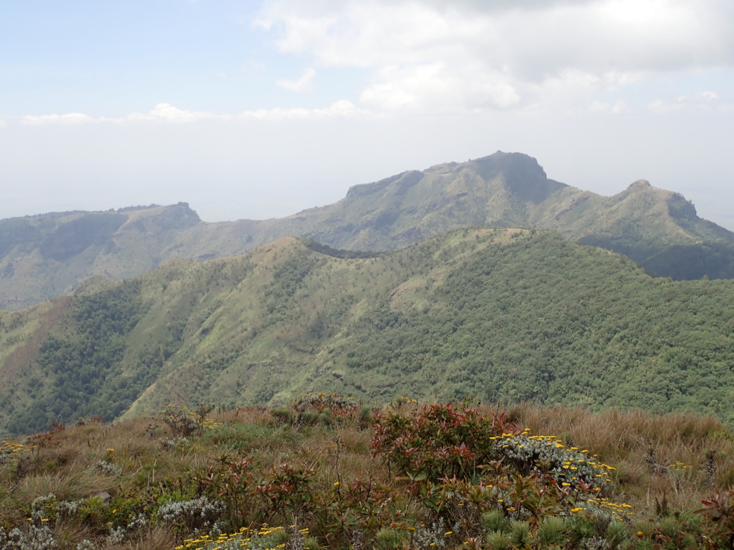
The summit, called Sokdek is located at the end of
a pretty long left curving arc with forest.
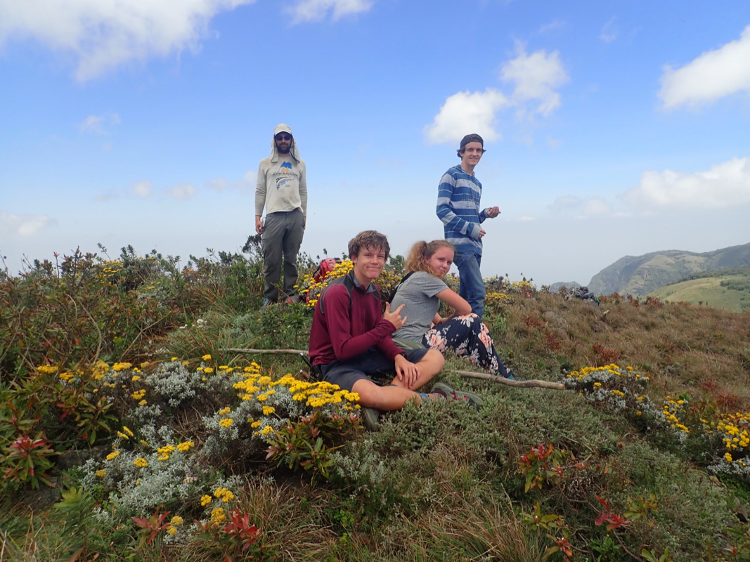
We caught up with the American family shortly before the final summit climb.
Arrival on top at 1225. Good views. One should notice that the peak itself is named Sokdek, Moroto
may be used to name the larger mountain area.
We stayed 30 minutes,
leaving at 1255. The return hike
took the other (right) branch of the ridge, thus getting close to the valley floor
much higher up in the valley. We then followed a pretty good trail all the way out the
valley, staying left towards the end in order to get back to the monastry. The descent took
3 hours, being back shortly before 1600.
This trip report continues with Mount Elgon.