Pidurutalagala
- Pidurutalagala
- 2524 m.
- Prominence: 2524 m
- Sri Lanka island HP.
- Location: North 16.59775, East 120.89877 (GPS)
- Difficulty: (YDS) class 1
- Climbed May 2, 2023.
Pidurutalagala
|
|
How to get there:
This is the highest point on Sri Lanka, an island country.
Flights arrive in Colombo, the capital. The airport is called
Bandaranaike. Drive towards the city of Kandy, then ascend to the village near the
b ase of the mountain called Nuwara Eliva.
Route description:
This mountain has a road serving military and technical installations on the
summit. Unfortunately, access is difficult for foreigners. It seems that Sri
Lanka citizens have an easier time to visit and the peak receives a fair amount
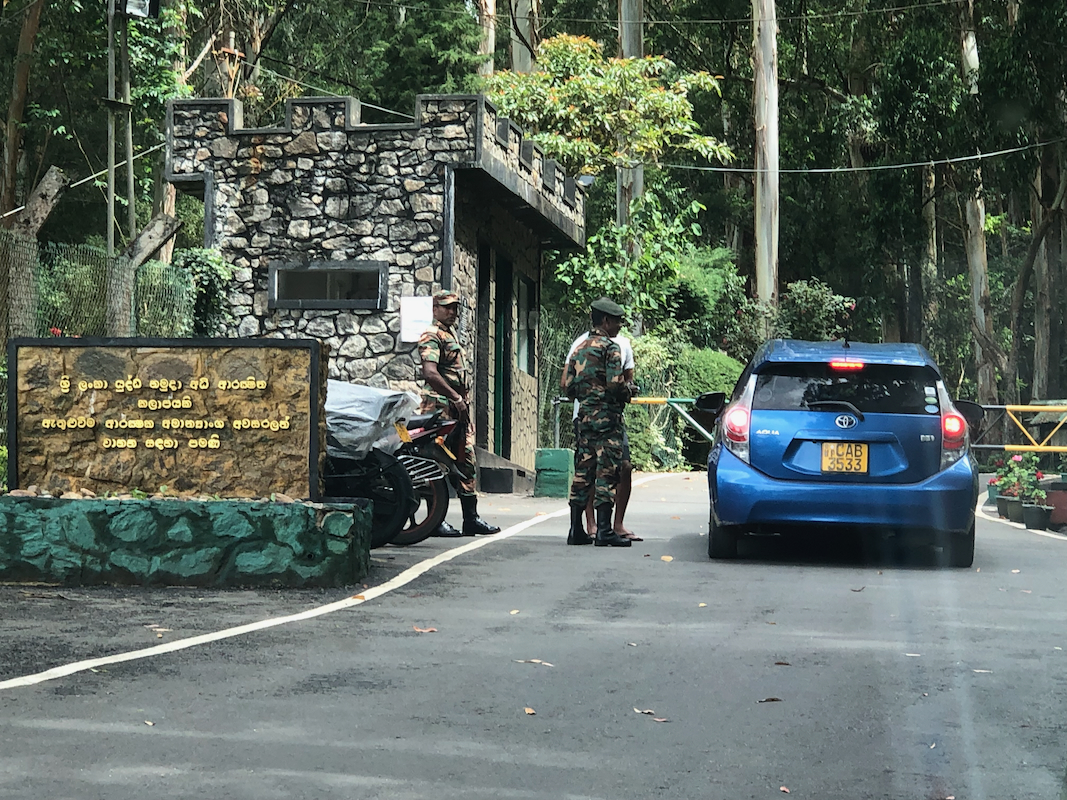
of visits. There is a gate at the bottom of the road that serves the mountain.
A permit should be obtained before travelling to Sri Lanka. The best approach
is to have a reliable local contact arrange this. The permit will be issued
by the Ministry of Defense..
With a permit to visit, drive to the gate, present the documents, then continue
to the summit.. The road forks shortly before the top, a sign directs you to
visitor parking at the top of the right fork.
Comments / Trip report:
This ascent came about in a rather unusual way. I was on a flight between Oslo and Bergen and
talked (a bit randomly) with my fellow passenger sitting next to me. He told me that he was
running a business on Sri Lanka. I vaguely remembered reading that Eric had been there, but failed
to obtain a permit to visit the island highpoint. I therefore remarked that I knew it was difficult
to reach the highest point in the country. Magne then said: "Are you interested?, I think I could
obtain a permit." I said that it indeed would be of interest and did not reflect more on it.
Many months had passed and I had pretty much scheduled a trip to the Philippines, with a return date of May 1st.
I then received a message from a person who knew Magne (in Sri Lanka), that a permit could be obtained, what date?
Since Sri Lanka is sort of on the way home to Norway from Manila, I replied May 2nd. Next, I got a message that
Magnes friend had been on the phone with the Ministry of Defense and been promised that a permit would be granted.
I scrambled to get appropriate airline tickets, then the promised permit did not show up? Somewhat concerned, I asked about
this, the Sri Lanka contact replied: "If things had happened as promised, Sri Lanka would have been
a developed country." But added, the permit will appear, just trust me. It certainly did (just before my departure to the Philippines), and I woke
up on May 2nd. in my Colombo hotel, ready to be picked up for the (fairly long) drive to Pidurutalagala.
We left early and arrived at the base of the mountain shortly after 1000.
Permit checking took
about 2 minutes, then we were on our way to the island high point!
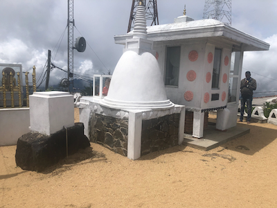
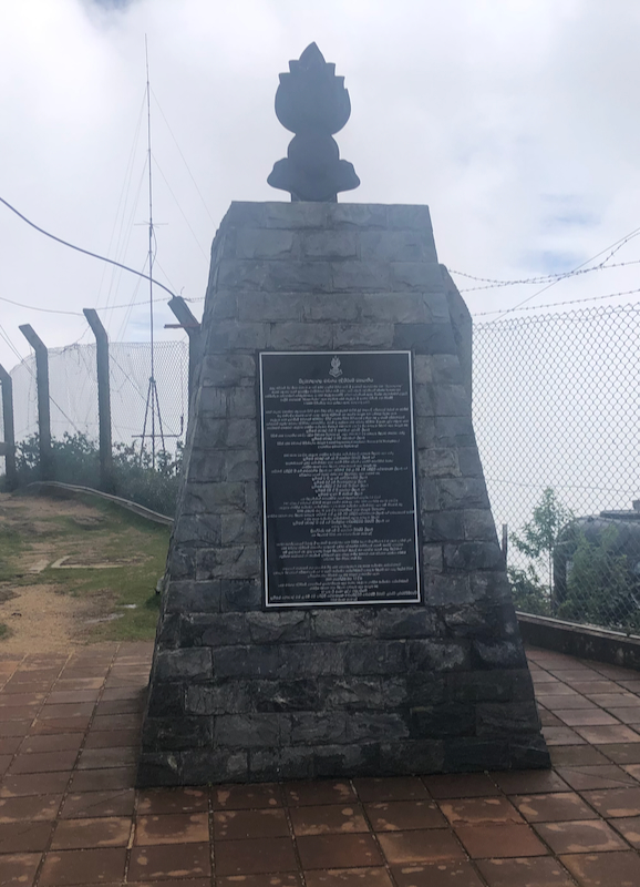
The summit area is pretty full of various installations,
but also several signs and symbols
relaated to this being a high point.
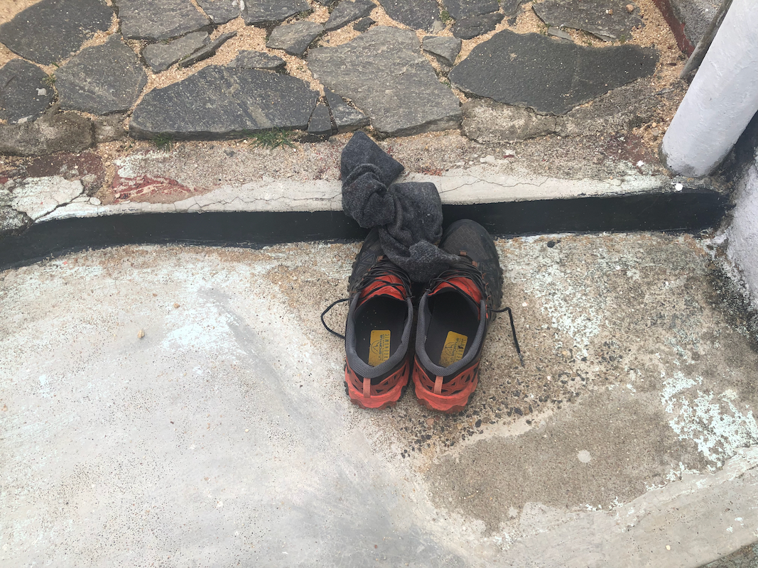
There is even a small temple,
visitors should remove their shoes
when walking near this structure.
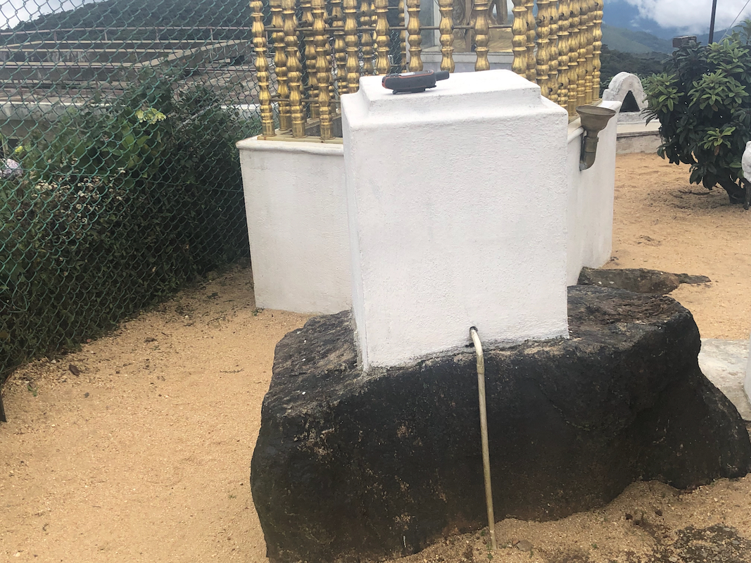
The highest rock has
a white block on its top, it is located quite next to the small temple.
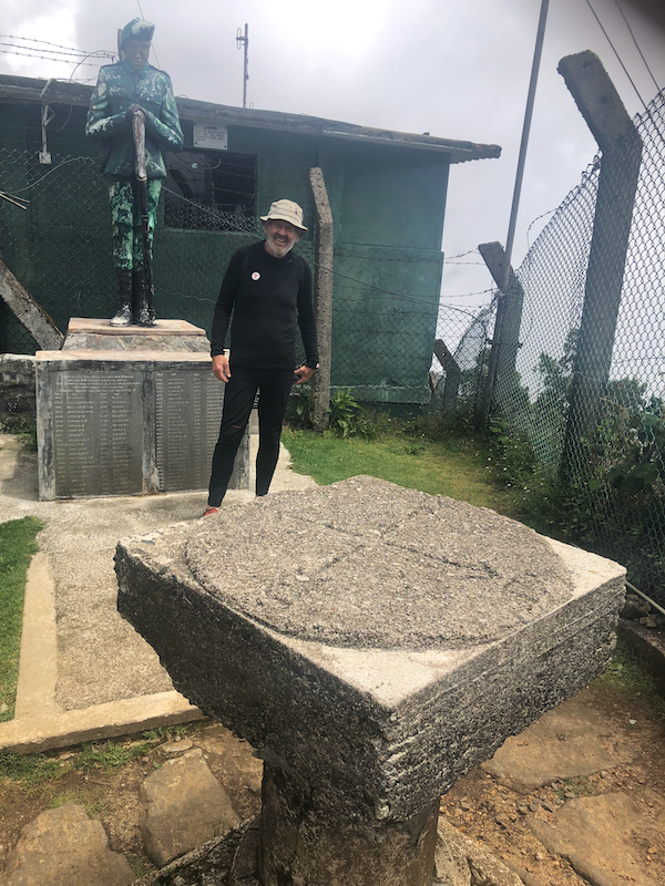
Another access path (a short distance below) provides access to a small yard with a couple
of other monuments.
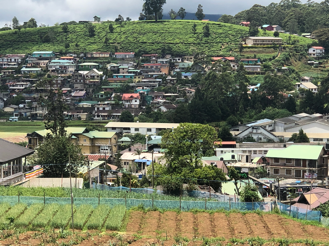
Between the parking and the summit, you will pass a viewing spot where you may look down
on the village as well as across
to a small hill,
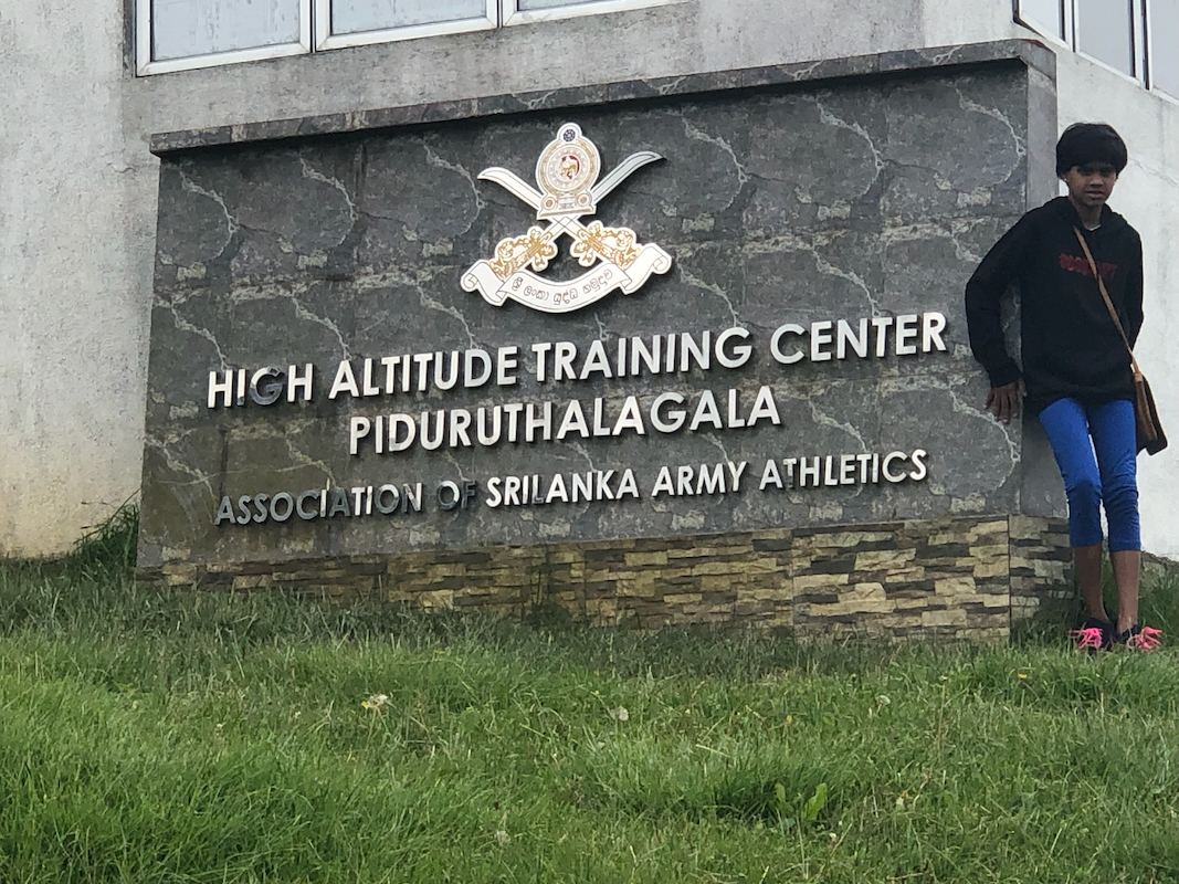
clearly lower. There is a sign announcing
military high altitude training.
We left shortly after 1100, in order to drive north. I wanted to do a real hike and decided
that climbing the second most prominent mountain
on Sri Lanka would be a nice goal.
On the way there, we made a small detour and visited Monara Gala.
We arrived at our accommodation near the base of
mount Go shortly before 1800. The day had been very successful indeed.