Gombaniya
- Gombaniya
- 1906 m.
- Prominence: 1415 m
- Sri Lanka
- Location: North 7.45344, East 80.75083 (GPS)
- Difficulty: (YDS) class 2
- Climbed May 3, 2023.
Gombaniya
|
|
How to get there:
From Colombo, first head in the direction (north-east) of Kandy, next locate the road
that serves the tiny town called Huluganga, located at N7.40150, E80.74194. Accommodation is
possible nearby at the Knuckles Barefeet Inn, located near N7.40392, E80.74708, elevation around 800 meter.
One should likely make a reservation in advance to prepare for a smooth arrival.
In order to reach the trailhead, drive up (north) the main street in Huluganga, this is on the east
(right hand side) side of the river. Shortly after leaving town, the road makes a sharp turn right while
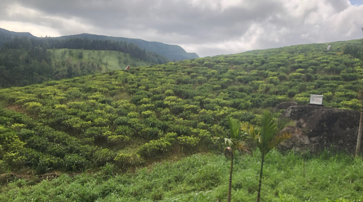
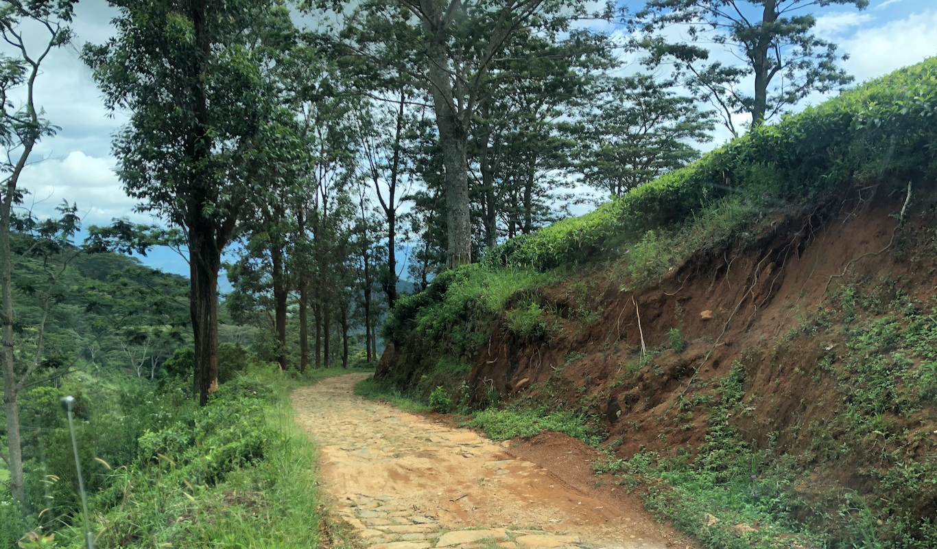
climbing steeply. This road mainly serves a pretty large tea plantation. It may be safest to also
secure a permit to drive up through
this large plantation area.
This road is narrow, with steep sections
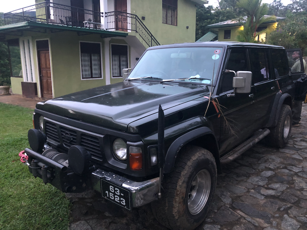
and somewhat rough spots. A 4WD is clearly preferable.
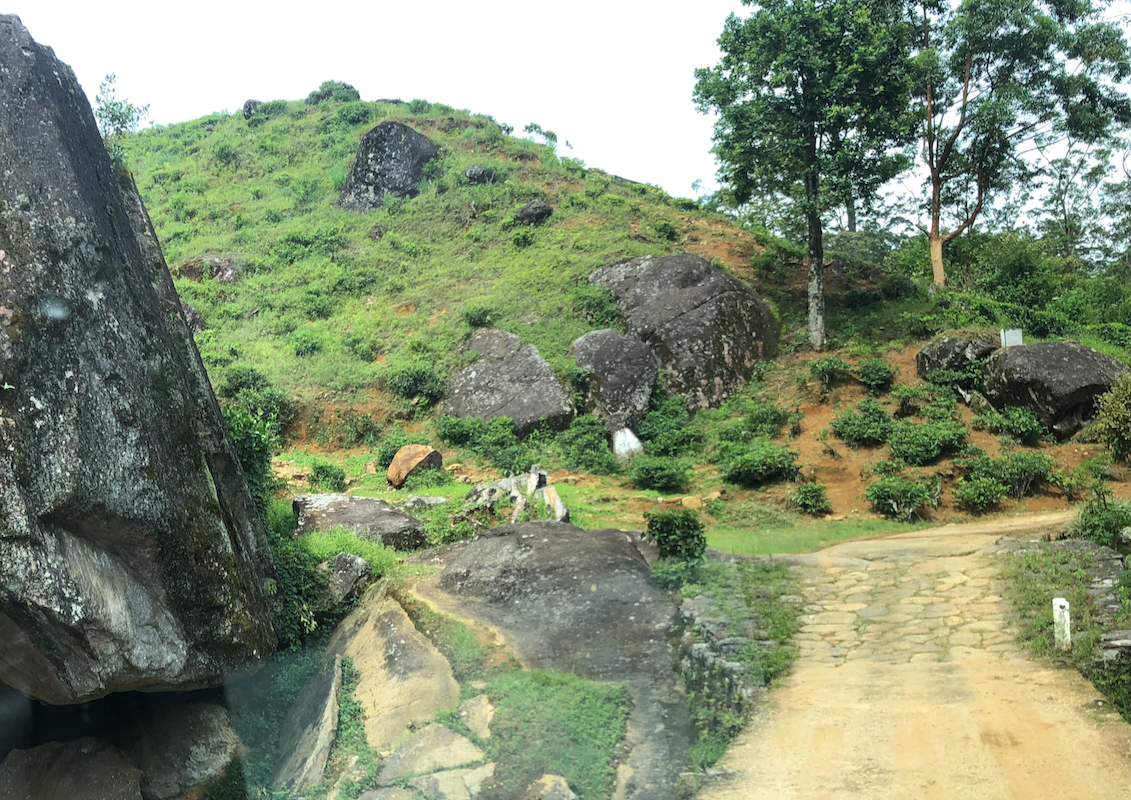
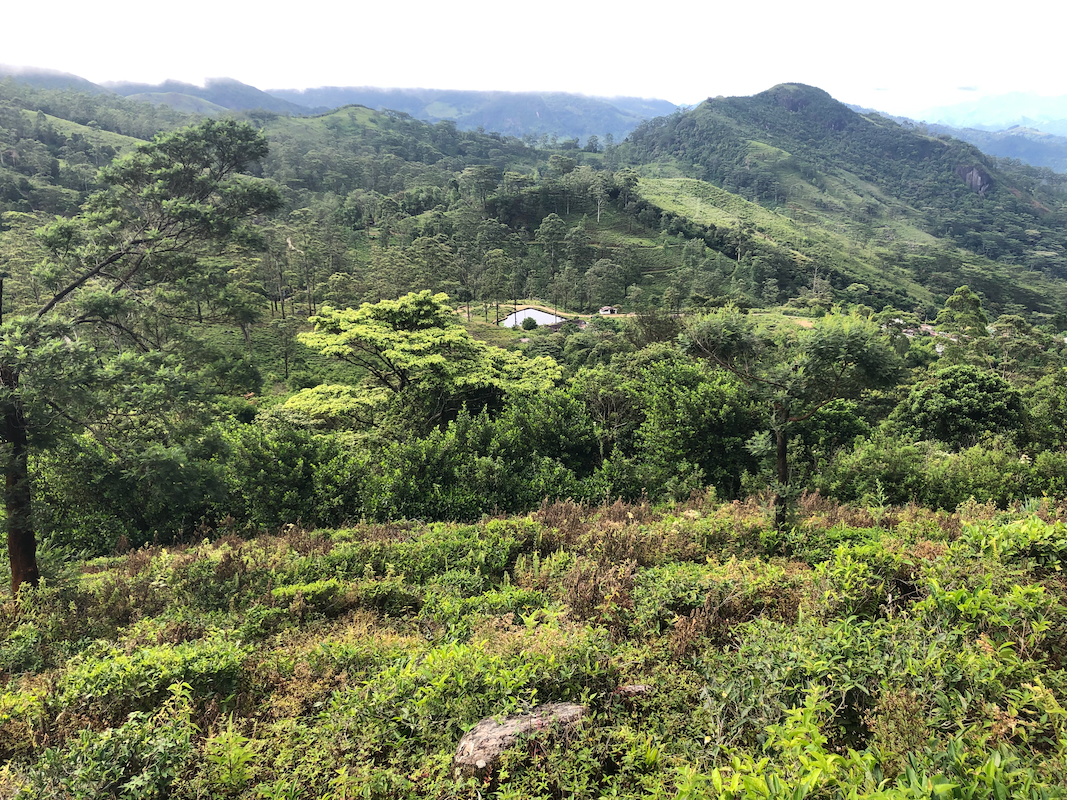
Follow this road as it winds it way until you arrive next to a small
water dam at location N7.43046, E80.75198, elevation near 1260 meter.
Route description:
From the trailhead,
next to the small water storage dam, head uphill along the left side of
the small pond. Follow the trail as it curves left (go left in a trail fork), you will then
zig-zag the tea-growing hillside on your left (when facing up the main valley). At one point,
head directly uphill to join a higher level trail. Follow this to location N7.43417, E80.74937,
elevation about 1400 meter.
From here, there is still a pretty good view back
down to the pond where you started.
There may be a small flag (trail marker) here. A trail heads
directly uphill to gain the ridge. This trail turns right
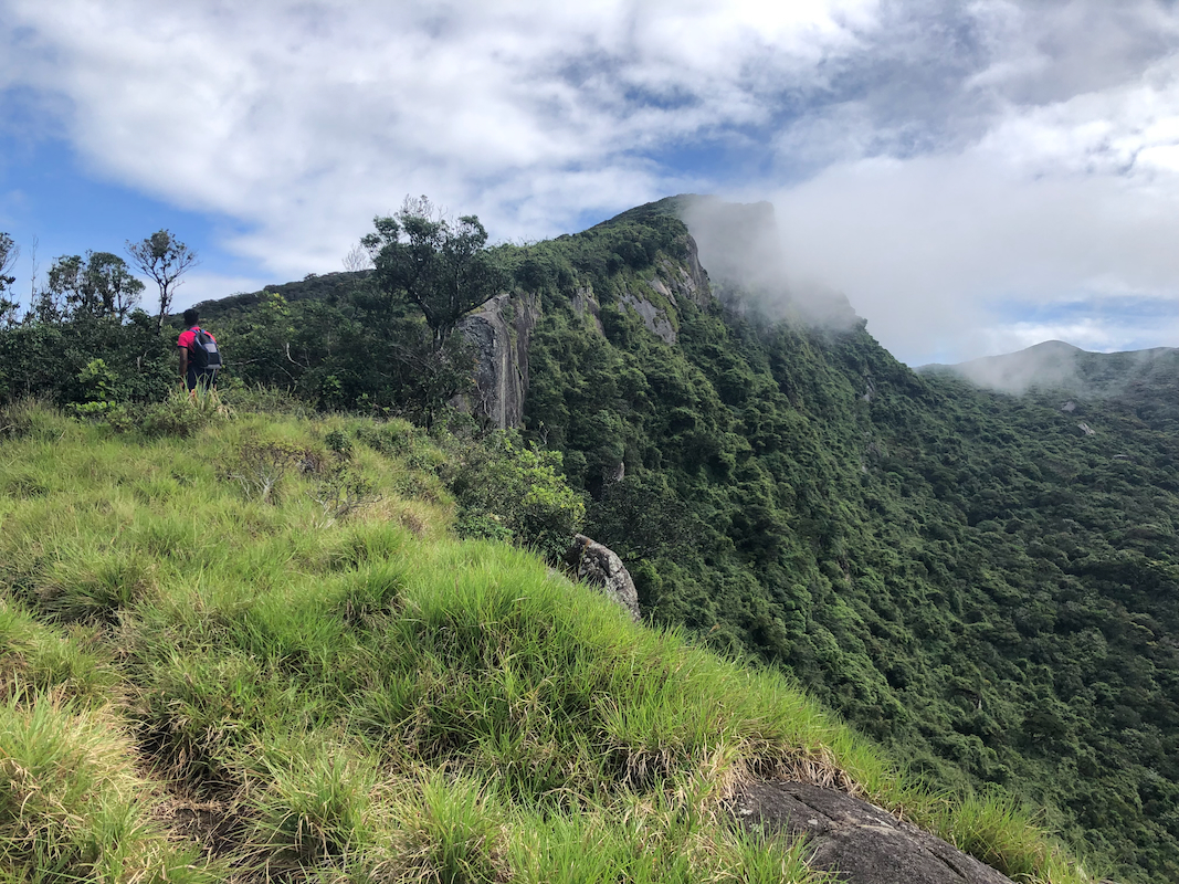
and follows the ridge uphill, sometimes
quite close to the cliff (on your right hand side).
The trail is clearly designed for people that
are not tall (like most locals here). The bamboo forest often runs sort of horizontally above the
trail, making the path more of a tunnel, taller people must bend down quite frequently. This trail
is sometimes quite narrow, the terrain alternates between bamboo forest and open patches with smooth,
slanting rock, easy to walk. The trail is reasonably well marked with various ribbons (flagged). You will
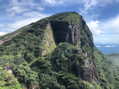
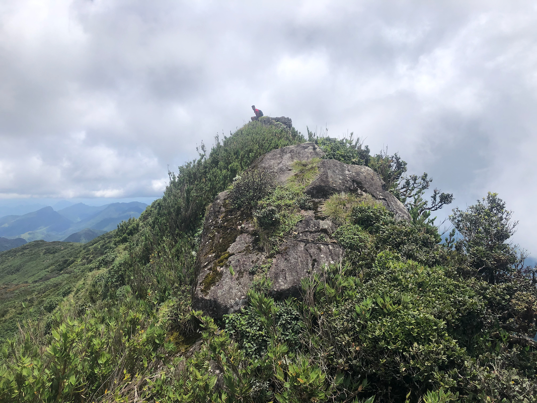
arrive at a pretty large, rounded rock area near location N7.44826, E80.75074, elevation around
1870 meter.
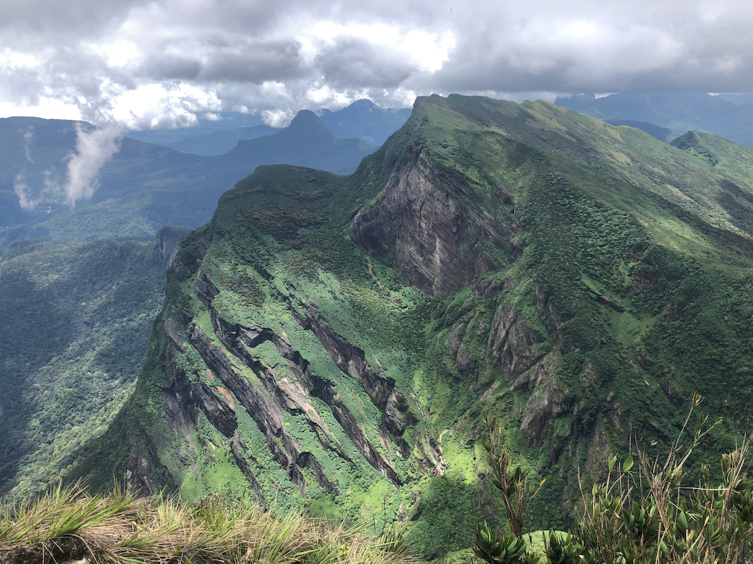
This is certainly a fine viewpoint and it seems that most locals consider this the summit, or at least
the place where the hike should end. The flagged route as well as the trail ends here. However, it is
easy to see that the ridge continues
higher ahead. In fact, the highest point you see from this location
is still not the summit. The remaining straight line distance to the summit is more than 500 meter.
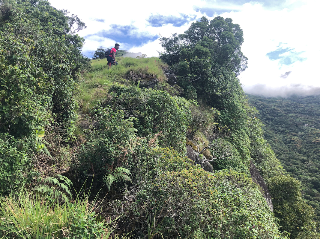
In order to reach the true summit, some
pretty determined bush-wack
(or perhaps jungle-wack?) is needed.
There are scattered animal trails hidden under the vegetation that may be used, but no single route.
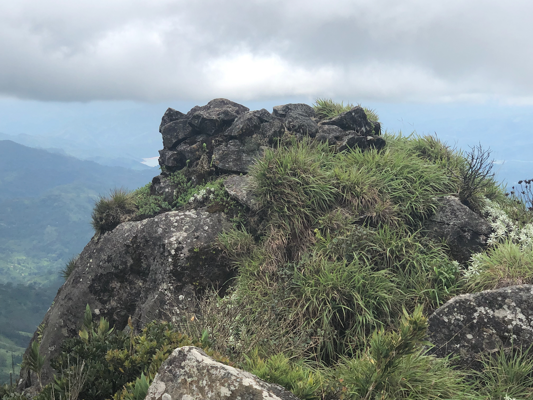
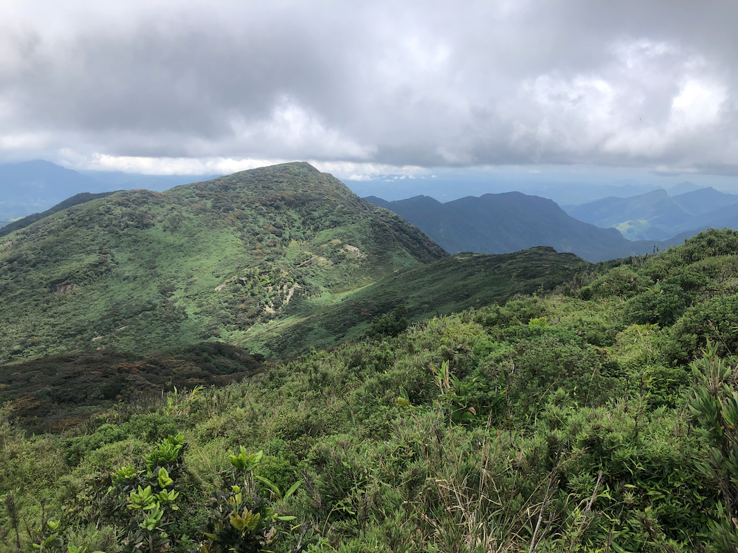
The final part of the summit ridge is pretty level. The most likely summit
location is a square collection of rocks that
may even be what remains of a cairn. This location is N7.45320, E80.75085,
elevation about 1906 meter. The remaining ridge is now not very difficult, if you have persisted to get this
far, you may consider completing the ridge about another 100 meter, in order to be certain about having
visited the highest point. Beyond location N7.45435, E80.75085, the ridge clearly slopes downhill north-west towards
a saddle connecting to a final, lower summit about 700 more meter away.
Comments / Trip report:
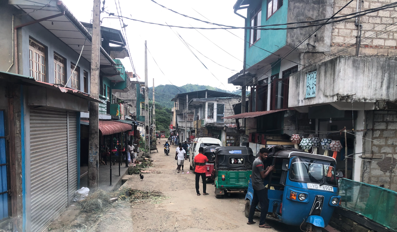
After visiting the "bonus peak" Monara Gala (Peacock Hill), we drove
ko the small town of Huluganga. A bit more asking around led us to the small, but nice guest-house
called Knuckles Barefeet Inn.
The keeper had expected us earlier and was not around, but that got
sorted out and soon I had been allocated a nice room upstairs. The place had no WIFI, but did have
a separate dining hall as well as a swimming pool! After checking about possible meal preferences (I had none),
the keeper set off to town in order to buy food that could be made into dinner and breakfast the next
morning. It was obvious that dinner would be pretty late.
The next morning, we had breakfast
at 0715 and started driving shortly thereafter.
A very nice and interesting
narrow road that serves the tea plantation. Driving is slow and whenever we met another vehicle time
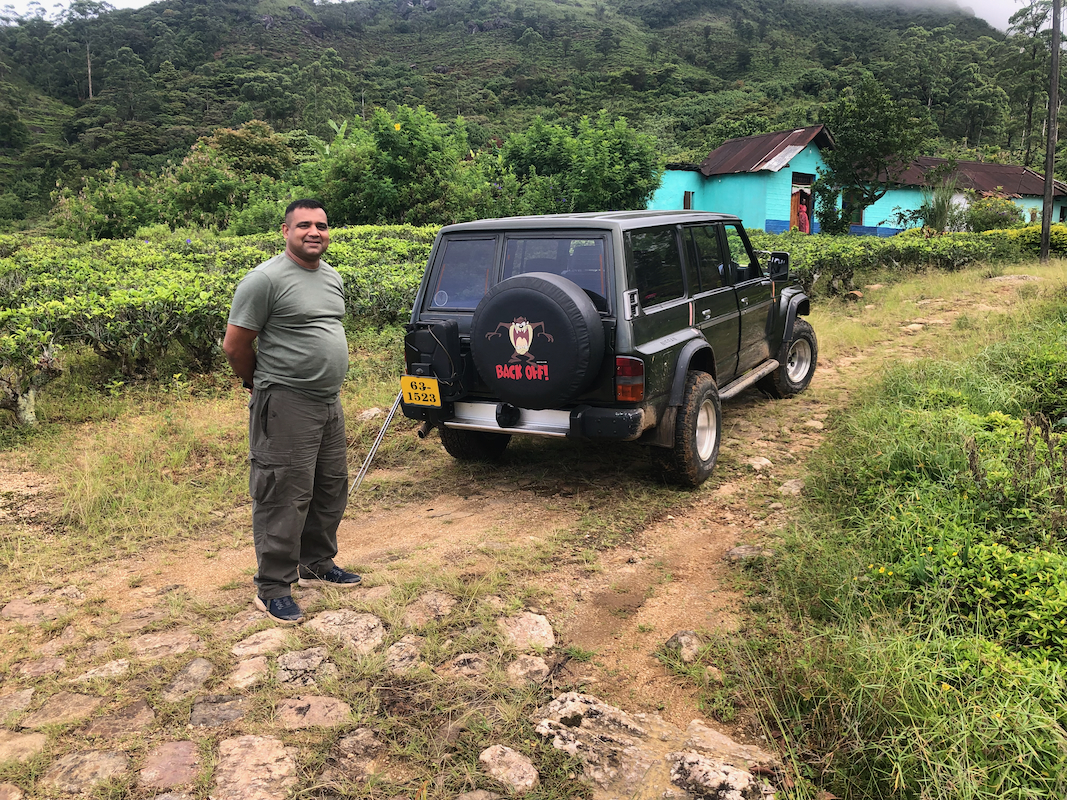
was needed to find a suitable place wide enough to pass. We reached the trailhead about 45 minutes after leaving
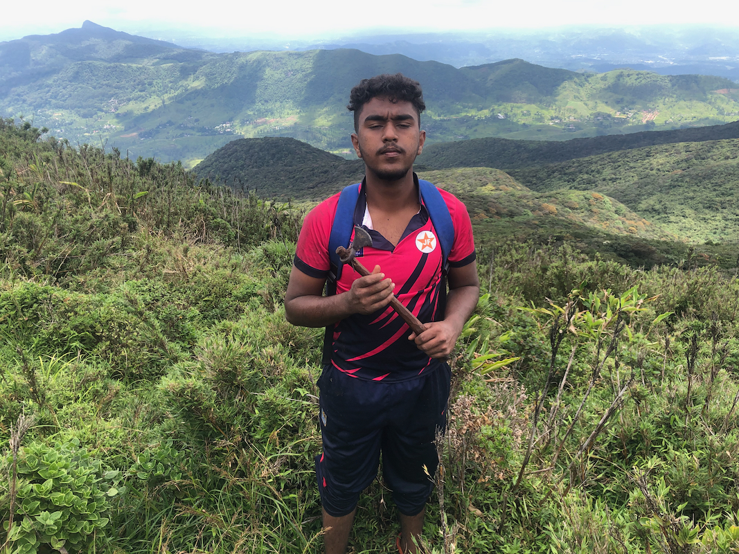
Huluganga. A young boy named Ich had been mobilized to act as a guide.
We started walking around 0830 and reached the point were we left the plantation trail in less than 30 minutes.
From here, it was pretty easy despite all the low sections (bamboo overhead),
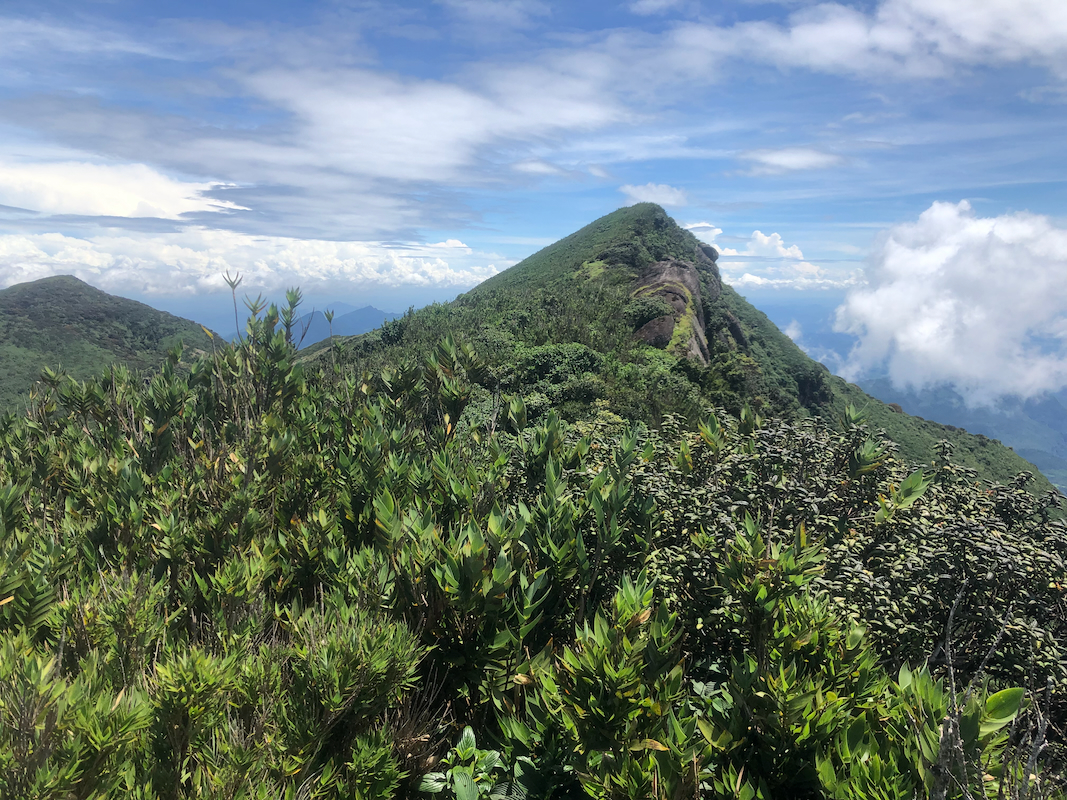
to reach the first summit point.
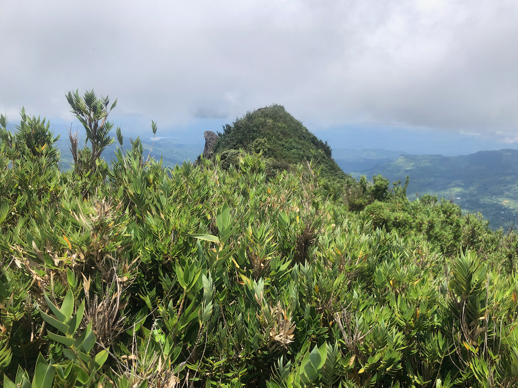
Surprisingly, it appeared that Ich considered the hike completed. The ridge continued higher
straight ahead. However, the trail ended here. I realized that people only would hike to this point
and not to the summit. I had read a couple oftrip reports on the Web, they all pretended to have climbed
the peak, but their information about the trail as well as hiking times clearly indicated that they had
turned around here.
I realized that this hike, that I had believed to be relatively short, might be a much harder trip
than anticipated. My driver waiting with the truck might have to wait much longer than what
I had estimated.
I pointed to the summit skyline and indicated to Ich that we had to bush-wack up there. After
quite some effort we reached this point only to find another, higher ridge top ahead. Ich tried to
get a promise that we would turn there. I tried to tell him (his English was rather limited), that
it all depended on this point being the highest on the ridge. More jungle struggle, again there was
yet a higher point ahead. Ich looked rather discouraged. However, he now understood that there
was no easy way out. He carried on without complaining.
Finally, by 1130, we reached a small rocky summit that indeed looked like it might be
the highest point. A quite short and fairly horizontal ridge remained. I told Ich that we might
as well complete the entire ridge, in order to guarantee that we had passed across the highest point.
The landscape is quite nice and rugged, good views.
He agreed, and we did a final section of bush-wack, arriving at the north end of the summit ridge
around 1145. The terrain sloped downwards,
we were both happy
that what remained was just the same
difficult bush, perhaps a bit easier now that we had gained experience.
It did seem that our previous high point
was the summit. We were back at the rock view point and the trail by
1300, the jungle section of this climb had taken more than the time up and down to the viewpoint.
A 10 minute rest, some water as well as a careful check for leeches were needed.
We were baack down by the car at 1420.
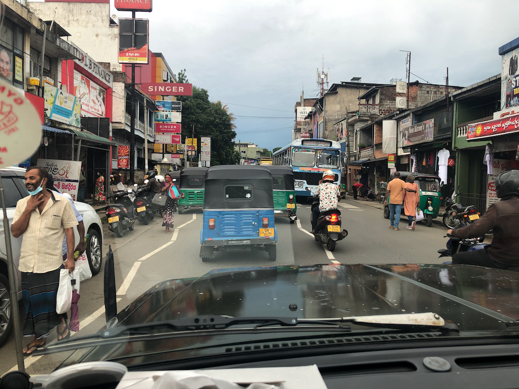
We drove back to
the local village (about 45 minutes of slow driving),
then continued towards
Colombo. A nice stop for dinner along the way and arrival back to the same hotel that
I used on arrival, Hostel Katunayake near Colombo airport.
This is actually a very nice, inexpensive place with friendly staff and good wifi, just what I needed.