How to get there:
This mountain is on the island Tysnes. Easy to reach by ferry from Halhjem, south of
Bergen. The ferry should go to Våge.
From Våge drive south all the way around the south end called Hodnaneset.
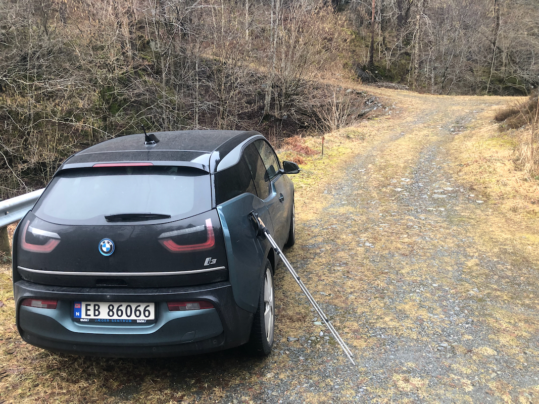
Continue north-east to location N59.91217, E005.58332, there is limited parking here,
a small forest road starts here.
Route:
Walk up the road and continue along the trail heading left. As soon as you
reach a small creek, the correct trail turns uphill, right. The trail is
marked with red, wooden sticks. These markers continue all the way to the summit.
There are also some trail signs along the way, also some information about
a war memorial site. The trail actually cross
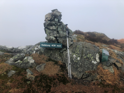
over the highest point shortly
before reaching the cairn, placed closer to a good viewing area.
Comments:
I took the 0730 ferry. Start from the trailhead at 0835. The summit was
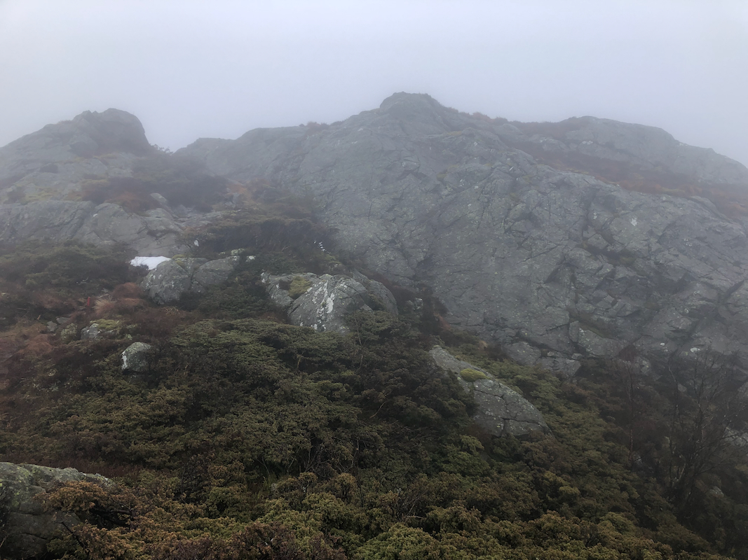
reached at 0930. The weather was cloudy, but no rain. However, the trail was
rather wet and my shoes and socks were soaked. One should note that the
highest point is on the rocks that the trail crosses before actually getting
to the official summit.
I was a bit cold and did not stay long. Leaving at 0935, I was back
at my car at 1020, so a total trip time of 1:45.
My trip continued to Kongshaug.