How to get there:
This mountain is on the island Tysnes. Easy to reach by ferry from Halhjem, south of
Bergen. The ferry should go to Våge.
This mountain is the highest point on a separate island, Skorpo, this island is on the
south side of Tysnes. It is connected by a short bridge to the Tysnes island.
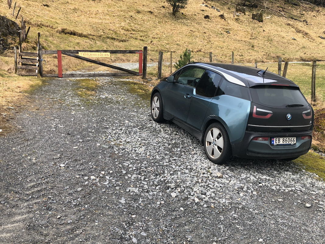
The trailhead is on the east side of the mountain, drive to location
N59.88577, E005.62267.
A forest road starts here,
there is parking for a few cars.
Route:
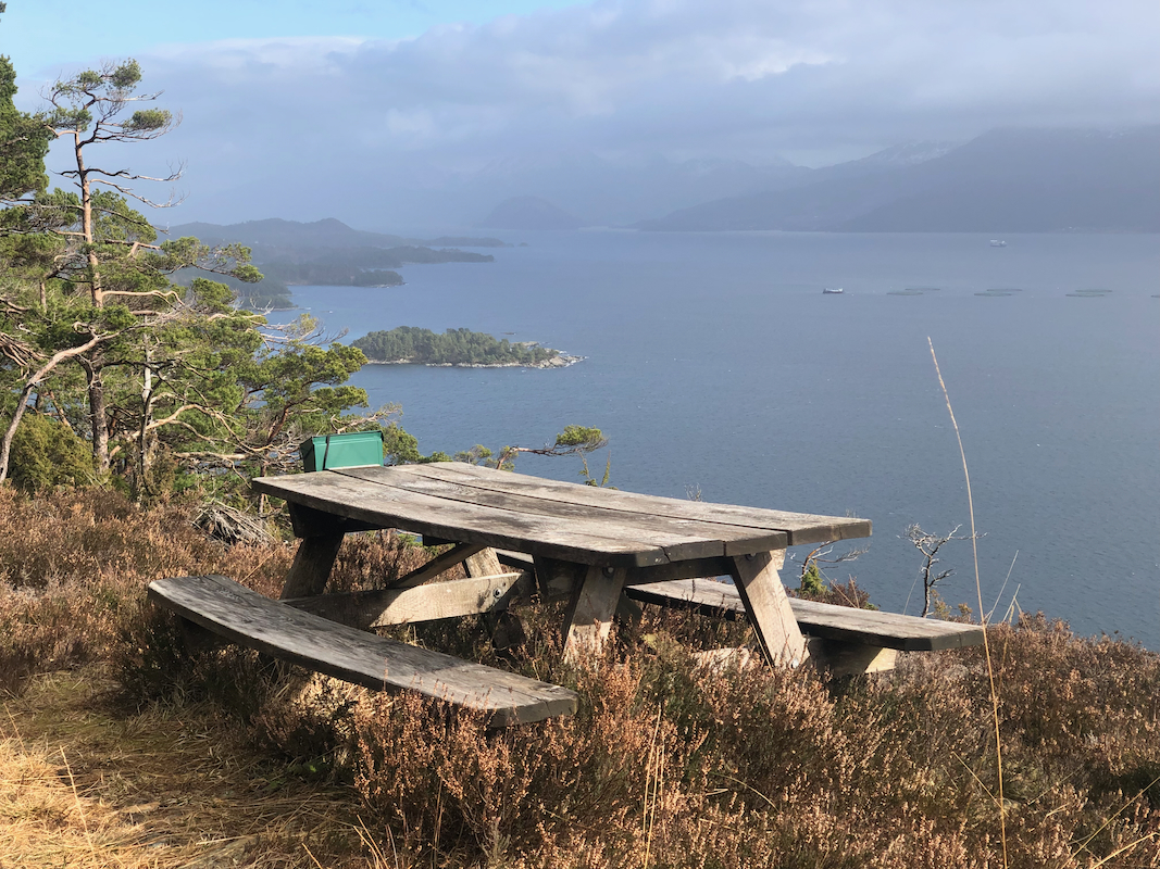
Walk the forest road. It curves sharply left higher up. The road ends near
a nice picnic table with a
good view. Continue a trail until you reach
a small creek. Turn right here and follow the creek upstream. The route to
the summit is off-trail. A short way up along the creek, turn more left and ascend
up just left of a cliff--band that runs to the hiker's right. Continue across
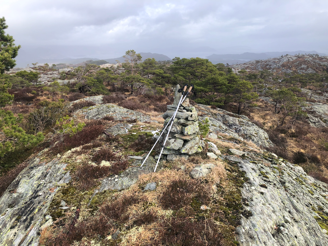
easy terrain to locate the small cairn marking the summit.
Comments:
I started out at 1100. First, a nice hike up the road to the picnic table with a good view.
I continued to the small creek, then turned right. I ascended staying below the cliff band.
On my return, I stayed higher and descended back down to the small creek near where it
crossed the trail. I arrived at the summit at
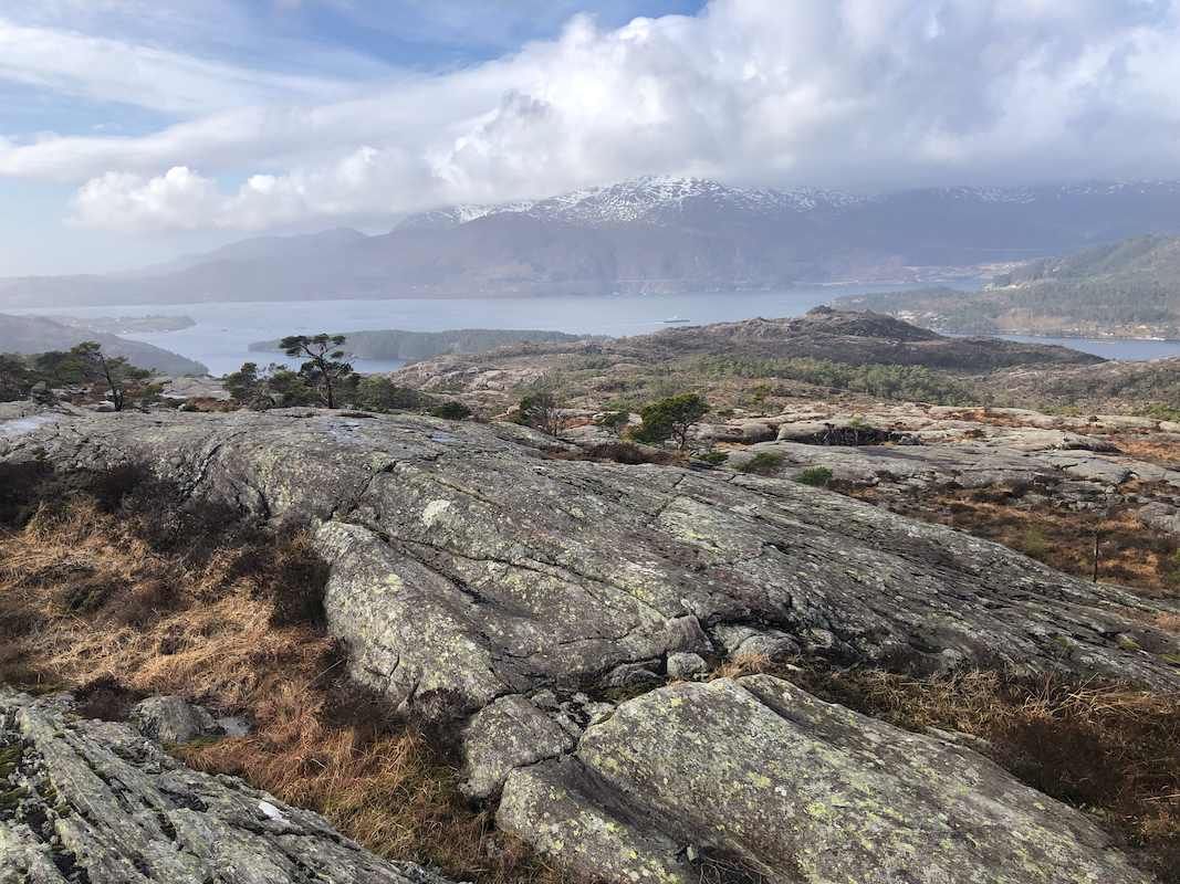
1140. The weather had improved, I now had
sunshine and actually some view.
leaving at 1150, the return took 35 minutes for a total trip time of 1:25.
My next objective was Barmehovda.
