How to get there:
We started from Leadville, you drive about 15 miles south on
Hwy 24, then another 15 miles west on Colorado 82 (direction
Independence Pass). There is a parking lot right next to
the (signed) road (going left) called South Fork Road.
Do not try to park along this road, the distance to the trailhead
is minimal, the land is private and there are No Parking signs
posted. Route description:
The trail fork of from the South Fork Road after just a few hundred
meters to the left. It is well marked, first crossing a nice
creek (in a gorge) on a well designed wooden bridge. The trail
then descends a bit and contours around to the second creek which
is also crossed on a small bridge. Thanks to (recent?) work/maintenance
on the trail there is no way to confuse/get lost (as indicated in
a few popular guide books). The trail proceeds to follow this
creek climbing until a very beautiful, almost level higher
valley basin is reached. The Sayres mountain (4137m) rises prominently
at the end of this valley. La Plata is up to the left. The well marked
trail climbs left and reaches a ridge from where the famous Ellingwood
Ridge comes into view across a deep valley. The trail continues more
or less on the ridge climbing up to the final, almost horizontal, ridge
that leads to the summit. There are no difficulties and the
trail is now very clear from beginning to end. Comments:
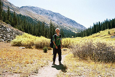
Pål Jørgen, age 11 did this
climb with me. It took us about 4 hours from the car to the summit, allowing
for a couple of stops for photography. We spent 45 minutes on
the summit. The weather was crystal clear blue sky, not a cloud
anywhere. There were traces of new snow on the summit, so winter
may now arrive at the higher elevations. We started at 0630, returning
to the car at 1245 after a trip that will be long remembered.
Mount Massive, as seen from the summit of La Plata. From left
to right: point 4319 m (flat area behind the snow), North Massive
(two rocky summits) (4371 m), a minor rock tower, Massive Green (4359 m),
Mount Massive (4396 m), South Massive (4307 m).
Mount Elbert, as seen from the summit of La Plata. Ellingwood
Ridge is in the foreground, Mount Massive in the far left.