How to get there:
Boulder is the nearest sizable city. The drive from
Boulder is roughly one hour. Route description:
From the ranger station at the trailhead a well
marked (and worn) trail leads up to treeline.
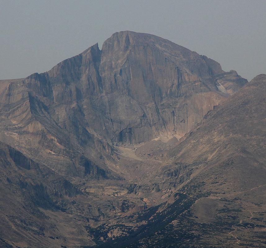
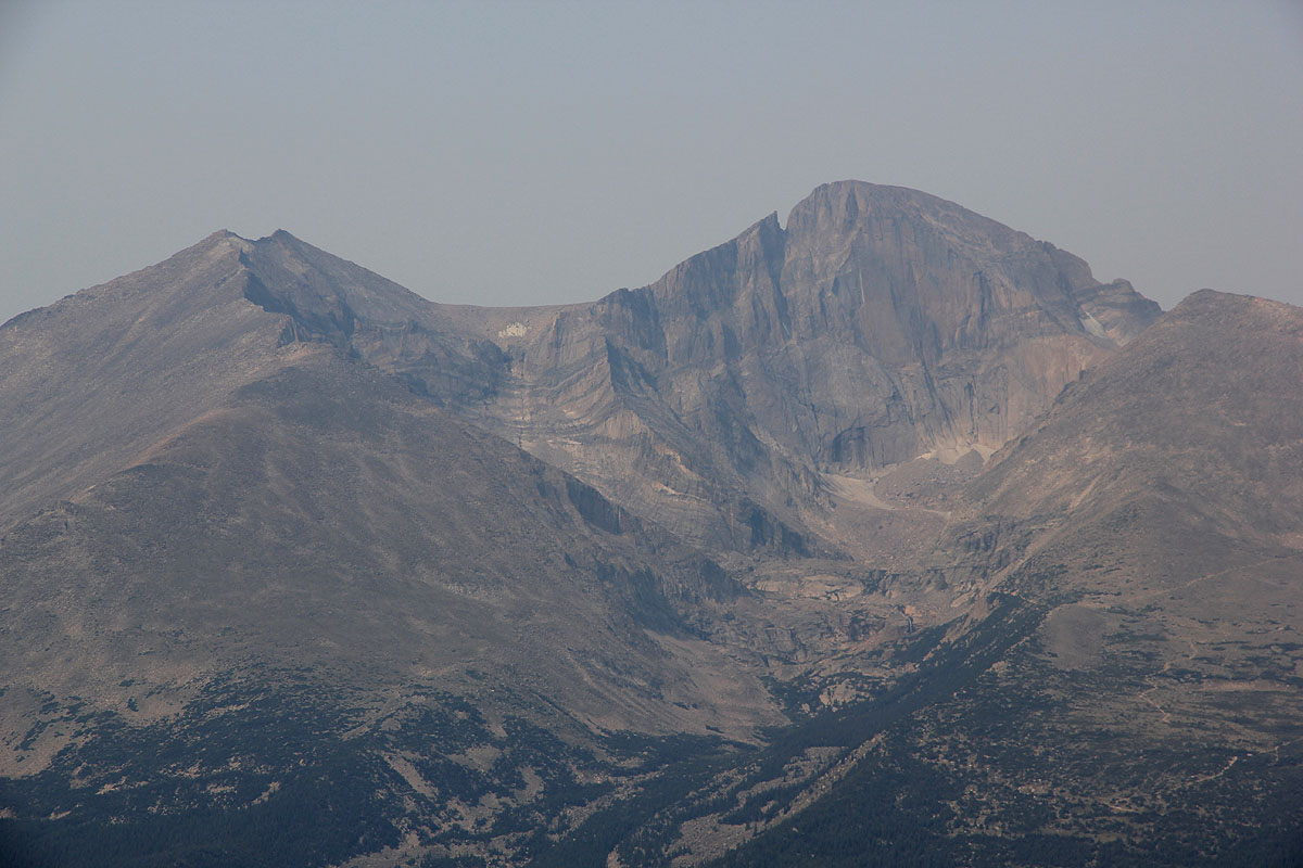
From here the trail continues and the impressive
Diamond face of Longs comes into clear view. The trail
then forks right and climbs a ridge to the north before
turning and attaining a flat field of boulders. The interesting
part of the hike starts by passing the ridge in the characteristic
"Keyhole". Here one gets a very nice view towards the west as
the trail continues on this side along more narrow
ledges. There are a couple of points along this trail with
some exposure where the use of hands is natural. The trail
is often very crowded and one should be beware of loose
rock resulting from other hikers. The summit itself
is a large, almost flat plateau, with beautiful views
in all directions. Comments:
Longs Peak is a classic hike. With a start around 7-8am
there is normally ample time for strong hikers to enjoy
the summit and still get back down before thunder or rain
moves in (provided this does not happen until late afternoon.)
