Imbabura
- Imbabura
- 4634 m
- Primary factor 1516 m
- Location: North 00:15.251 West 078:10.838 (GPS on the summit)
- Location: Near the city of Ibarra.
- No. 17 in Ecuador.
- Saddle: 3118 m
- Difficulty: Grade PD-, YDS class 3.
- Climbed December 10, 2008.
|
|
Information:
How to get there:
First locate the city of Ibarra, north of Imbabura. From this city, there is at least
one road that runs straight uphill onto the slope of Imbabura for quite some distance.
More precisely, driving east along (the) main street in Ibarra, turn south at location
N20:31.860, W78:04.311. (The west coordinate being the most important!)
This road is also the one to use in order to access the nice "Hacienda San Clemente".
In order to find it, locate a chapel (small church), turn right on a rough road that
descends and crosses a (dry) river, then turns uphill to the San Clemente homestay.
San Clemente has coordinates N00:16.806 W078:07.828, and elevation about 2780 meter.
When on the correct road, just follow it uphill as it climbs the hillside by making
several bends and curves. Eventually, you should arrive at
location N00:15.802 W078:09.169, elevation about
3460 meter. This is a near perfect trailhead for the climb of Imbabura. Park here.
Route description:
The trail initially follows an old road leading by a building higher up. It then runs a bit
left before going more uphill across grassy fields. Higher up, the hill is steeper. One can
follow a trail straight uphill or take a more gentle line that first traverses out right before
going left on top of the broad ridge to merge back at the top.
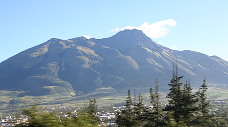
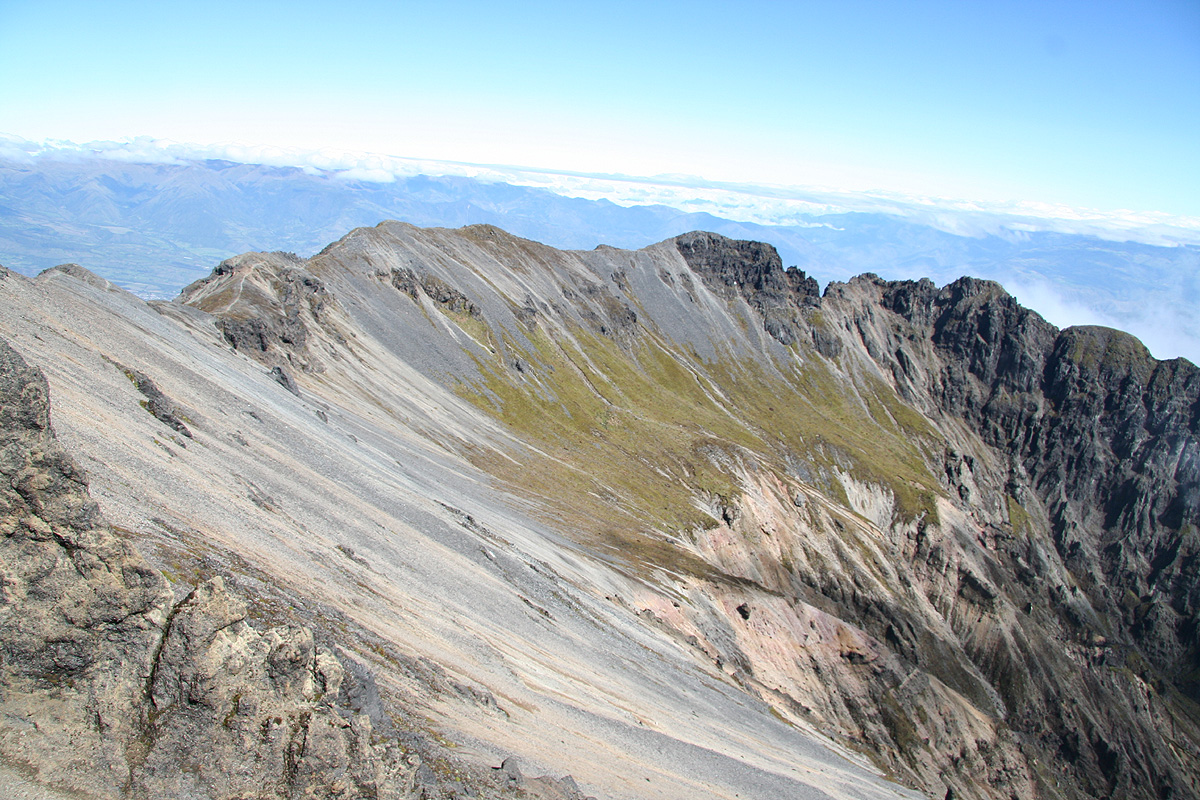
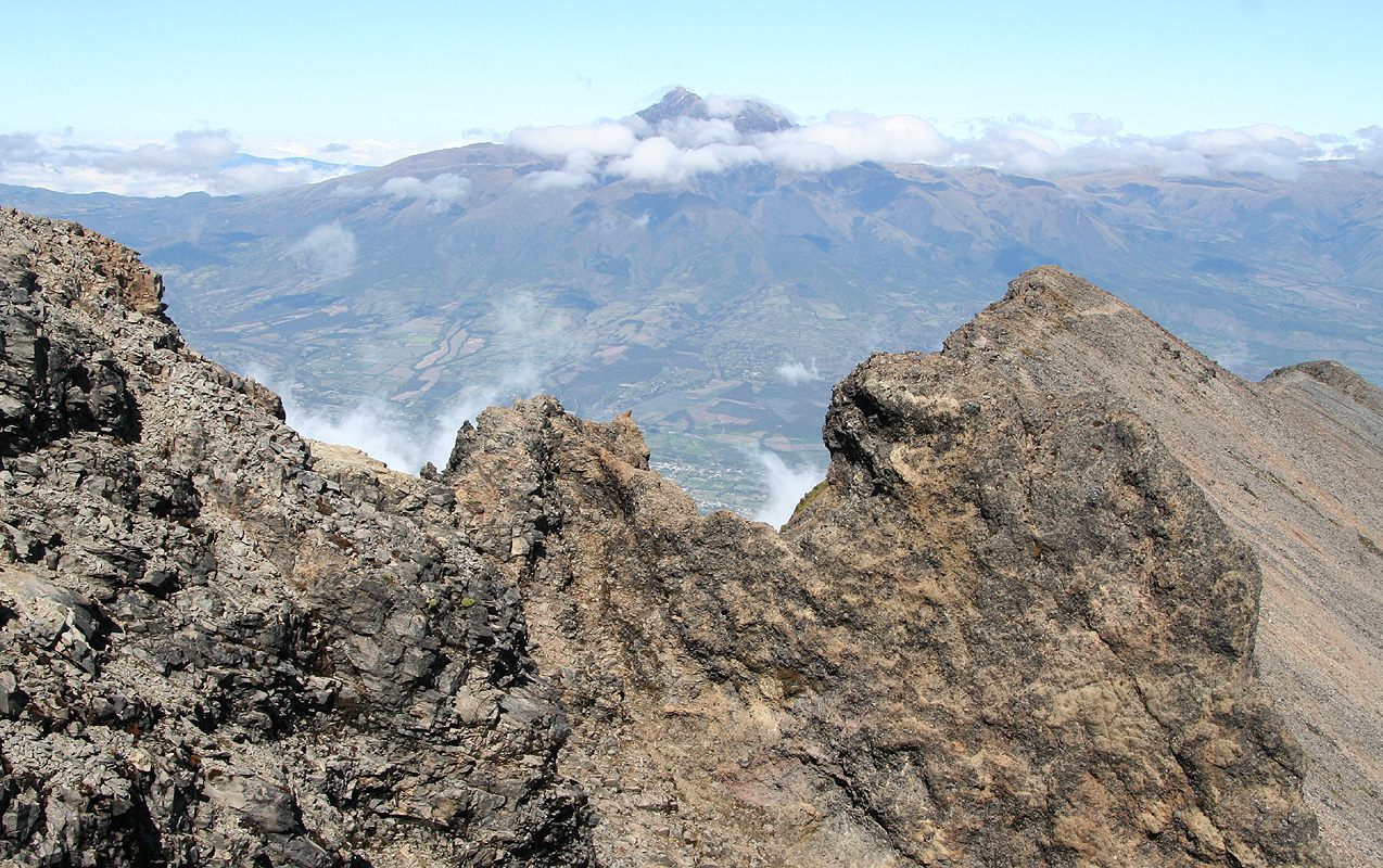
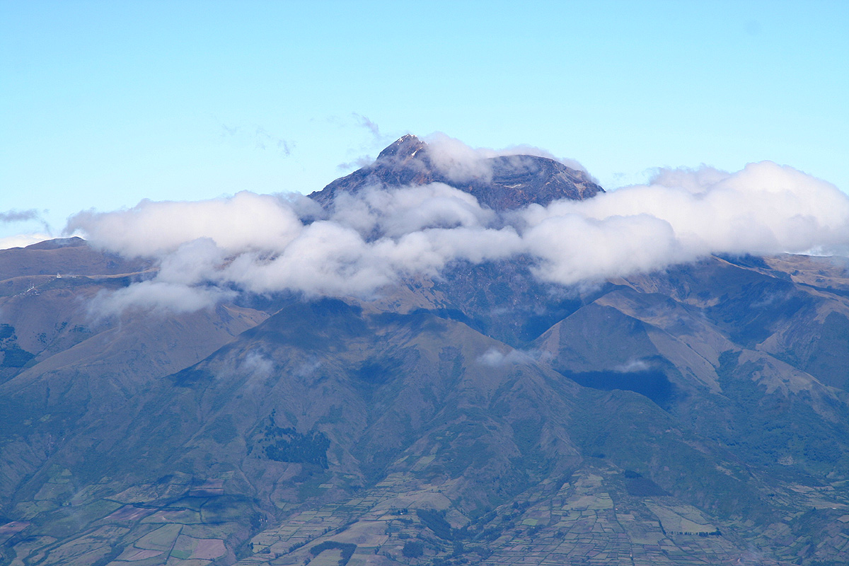
From here, one can see the mountain more clearly. The old
volcano forms a semi-circle with a huge
opening facing downhill. The summit can be identified
by some red markers on the rightmost of
the summits visible against the horizon.
The route first
climbs the north summit, then traverses
the entire semi-circle in order to gain the highest point.
Heading up towards the north summit, one first makes an ascending traverse in order to reach a
distinct saddle on a ridge where you look across down the opposite side for the first time.
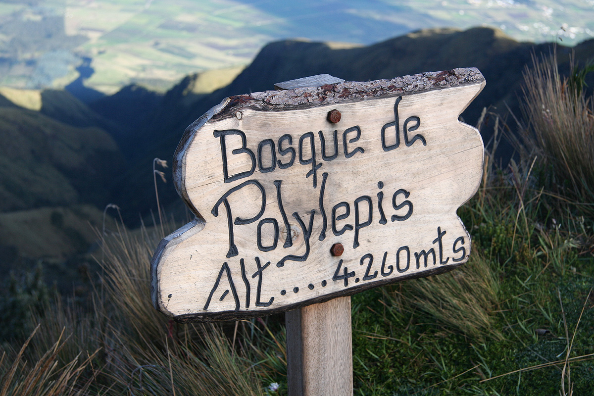
There is a sign here,
location N00:15.778 W078:10.334, my GPS showed about 10 meter higher
than the local sign (adjusted for the systematic difference).
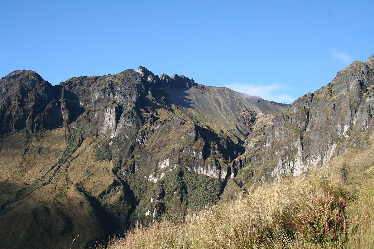
From here, the route ascends this ridge and gradually turns into easy scramble, ie. the route
changes from YDS class 1 to class 2, then to class 2+. If you stay on the route the difficulty
never exceeds this level and after quite a bit of fun terrain you will arrive on the north summit.
The location is N00:15.695, W078:10.725, with an elevation of about 4560 meter.
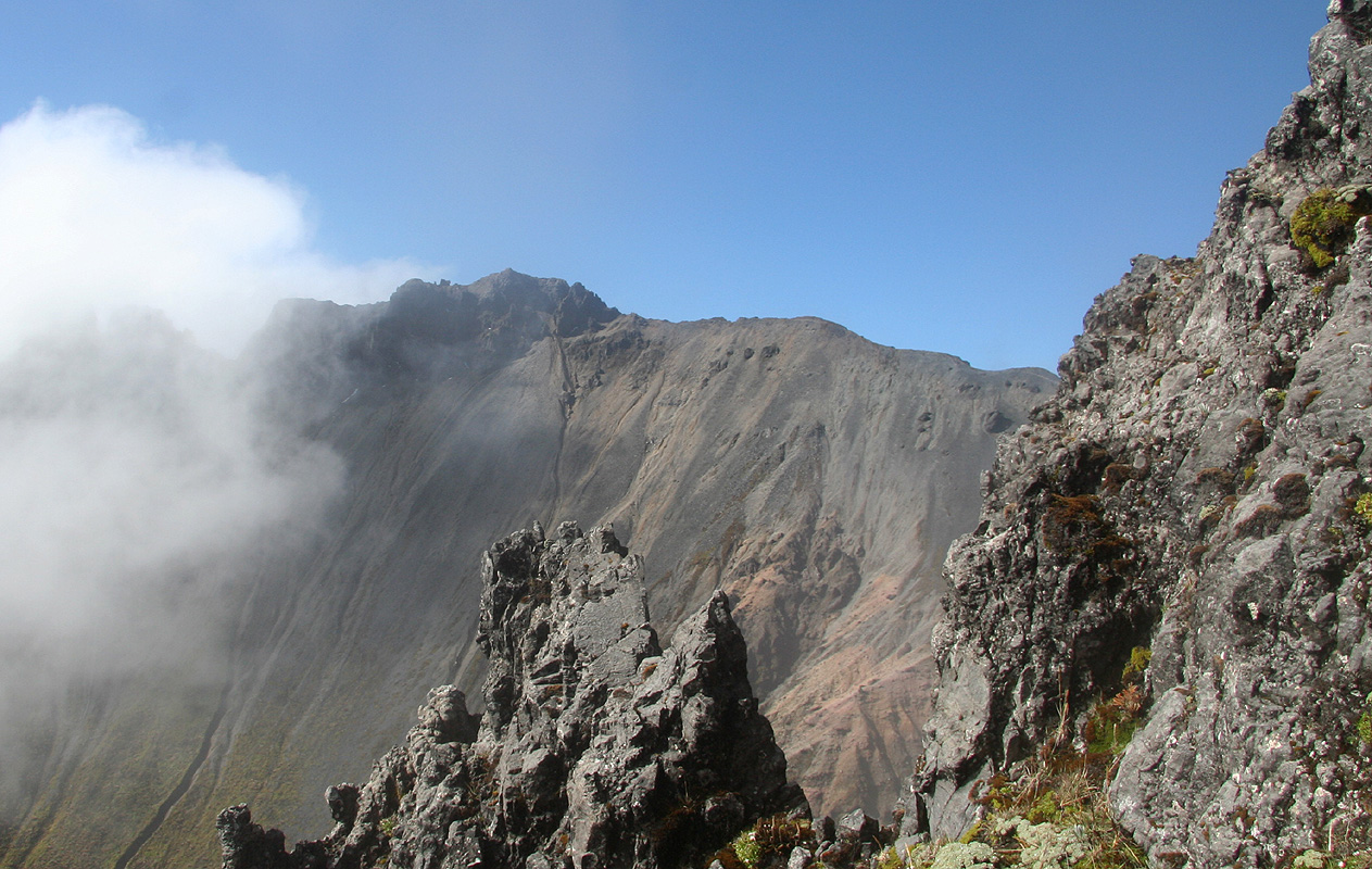
From here, the route looks quite hard at first sight. However, as you descend to the first notch,
you realize that the route picks its way in a rather interesting fashion. There is quite a bit
of exposure as the route winds its way along the jagged ridge, sometimes following narrow ledges
on the side. The terrain is challenging enough to deserve a (YDS) grading of class 3. Never difficult,
but care and attention should not be neglected.
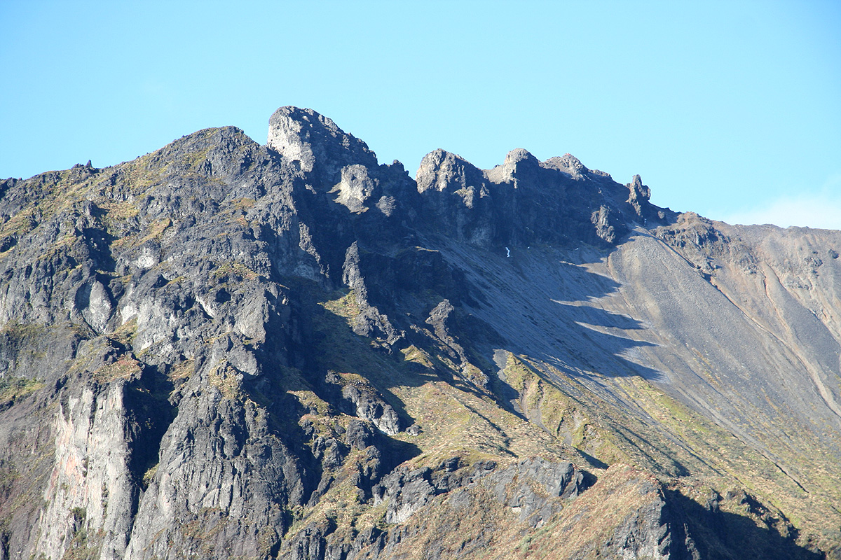
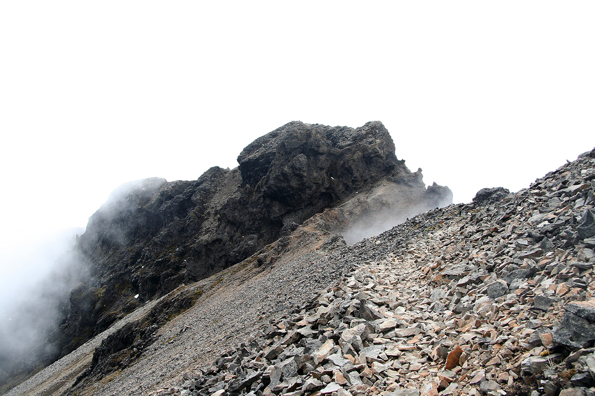
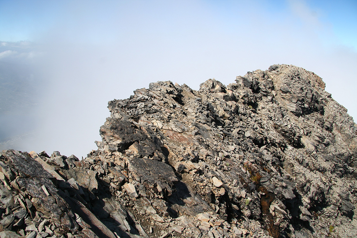
The trail descends to a distinct notch, then continues down on the left (south) side of the last big
hump on the ridge. Following this bypass, the route regains the main crater rim and completly changes
character. The next stretch is a delightful
walk along the crater rim (seen looking back)
following quite a good path as you
cross over a few (small) humps along the way.
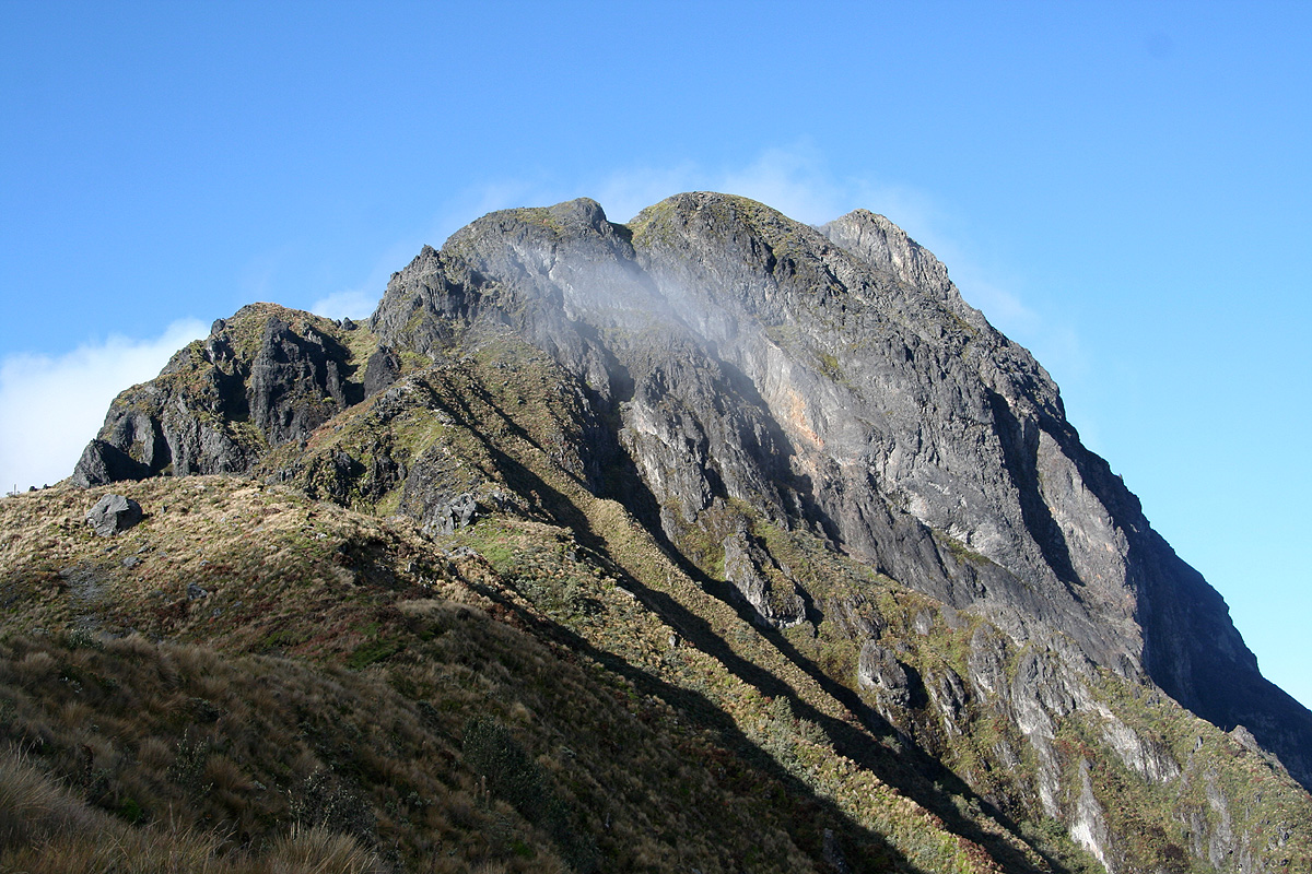
All good things must come to
an end, the final section to the summit of Imbabura again turns into
scrambling. Follow the trail as it climbs
steeper terrain, seek right (avoiding a steep rock)
and cross a notch from where
you descend a few meter on the opposite side. The terrain is not too steep, but consists of quite
loose gravel. Walk in a left-shaped arc and regain the top ridge. You will now approach a short
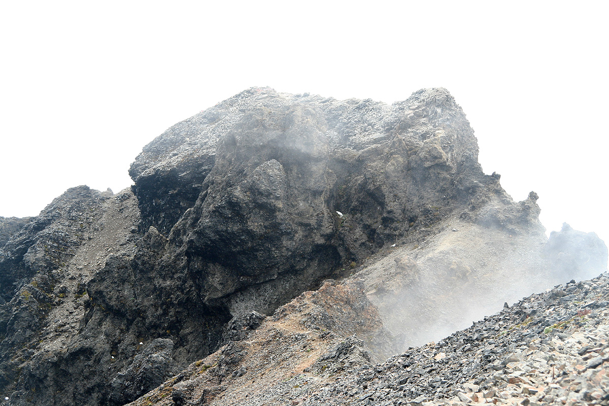
catwalk crossing a couple of large, but flat boulders with exposure on both sides. Next, traverse
along the ridge (seen from the summit)
staying a few meter down on its left side. The rocks and terrain are very loose here
and you will observe a hole in the ridge right next to your route showing the void on the opposite
side of the ridge. This may also serve as a stern reminder that this top ridge may indeed be very
unstable.
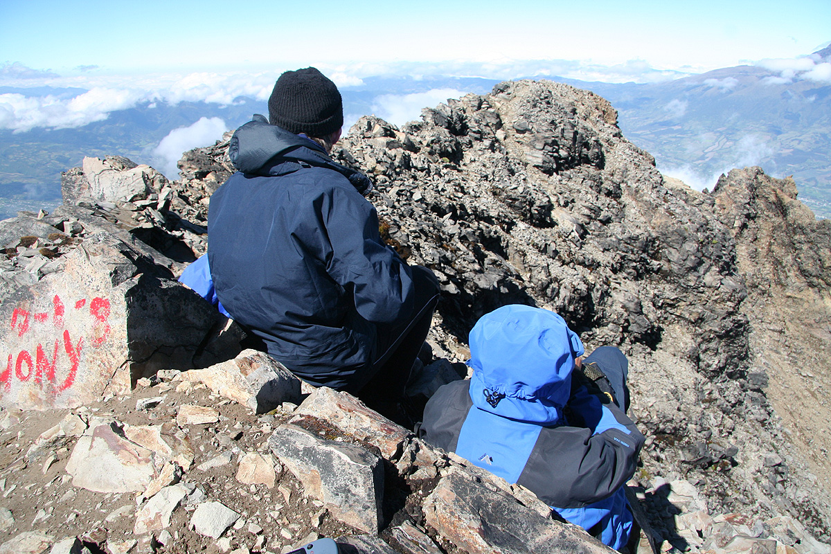
Care is needed, but the route is not difficult. Shortly, you arrive at the summit
of Imbabura.
Return to the Ecuador summary page.
Trip Report (continued):
The beginning of this trip report is here.
Day 3: The climb of Imbabura.
I woke up at 0400 with an alarmingly sore throat. Rob immediately advanced the hypothesis
that this was a cold somebody transmitted to me during my 18 hour flight with KLM.
Our very friendly hosts served us a healthy breakfast before
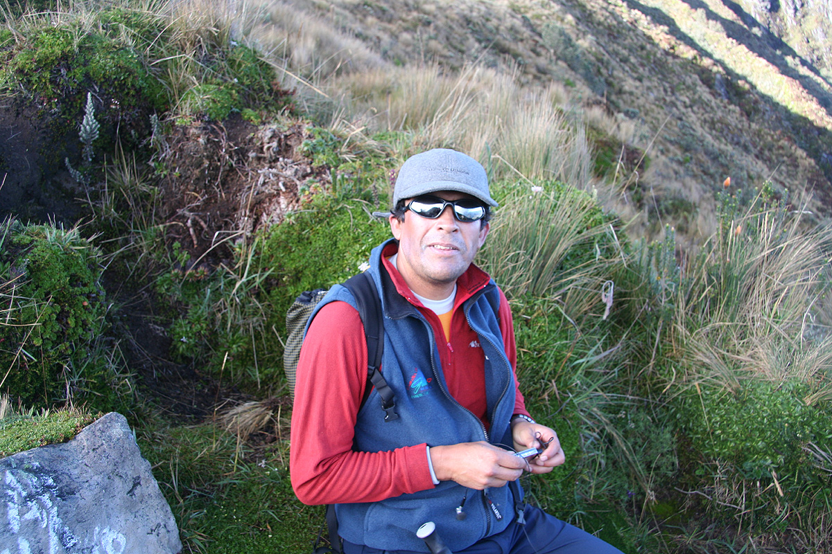
we were ready to leave around 0500. Diego drove his truck ever higher until arriving
at the trailhead by 0540. Morning light was coming, a perfect time to start.
After about one hour of hiking
we walked by a large sign then
had our first break on a local hilltop just beyond.
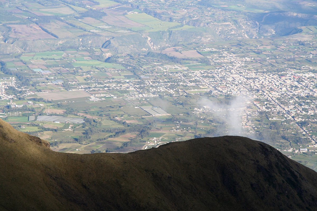
The view of the town Ibarra showed
that we already had gained some elevation.
We were now at location N00:15.685 W078:10.004, elevation about 4040 meter.
Soon, we continued on the small ascending traverse in order to gain the ridge leading
up towards the north summit. This ridge was a natural place for a short break as we
enjoyed the view down on the opposite side. The ridge continued more steeply up towards
the north summit that towered high above us. However, the route was very nice and the scrambling higher
up, quite delightful. From higher up, we again got
a clear view across to the highest summit. It looked
close, but we realized that a full traverse of what remained from the crater rim would be required.
We continued uphill, the slope levelled off and I pulled ahead and gained the highest point on
the north summit, located at the far end of the summit ridge. As I looked
behind, the three others
came walking along the top ridge, a very memorable view in the early morning.
Arriving here at 0830,
we measured the north summit and looked to see what was ahead. Neither Rob nor Adam
thought the continuation looked very promising at first. As often is the case, the problems tend
to sort themselves out as you move along. Bypassing the last obstacle on its left, we were soon
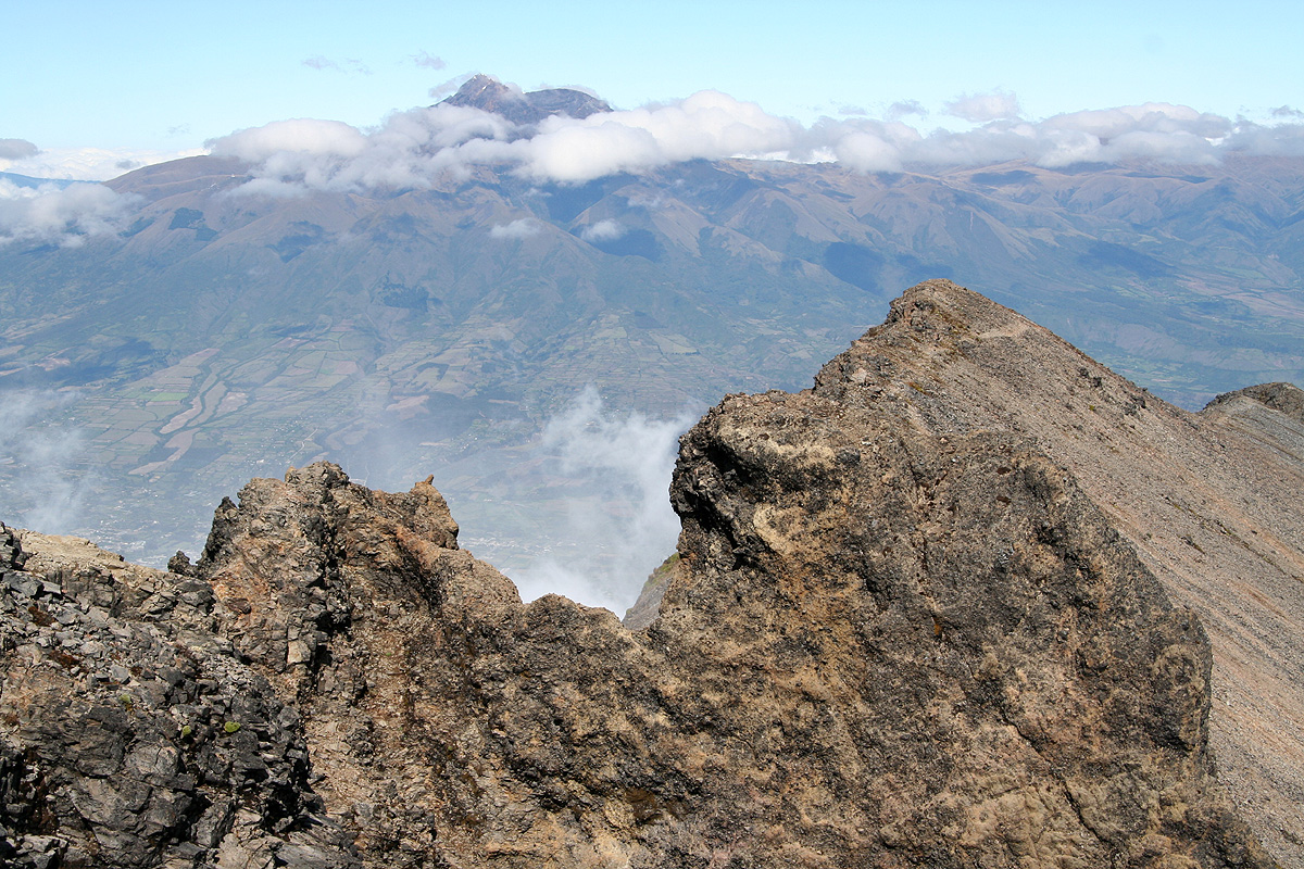
strolling along the smooth part of the old Imbabura crater rim. The weather was just great and we
had a clear view across
to the sharp Cotacachi, our goal for tomorrow.
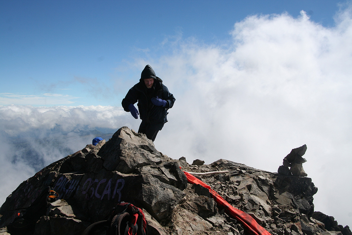
The very last section before
the Imbabura summit involved some more scrambling and a nice
catwalk across some slabs of rock. Generally, the rocks were
loose and unstable, but the catwalk
was supported by dependable blocks. We
arrived at the summit at 0925, a nice place for
a well deserved rest.
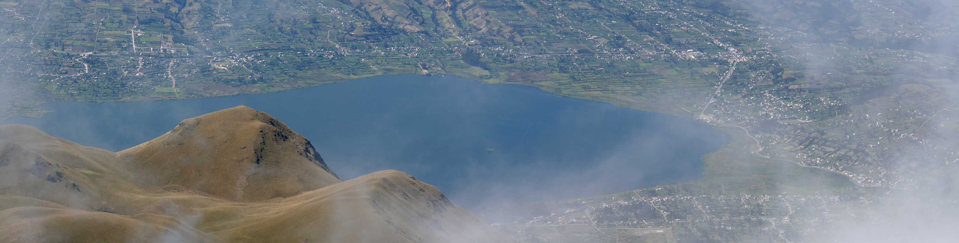
From here, we could gaze directly
down at lake Laguna San Pablo where
we carefully measured our reference
elevation yesterday. The GPS readings at the summit were 4648 meter, consistent with an official
elevation of 4634 meter and
a corresponding prominence of 1516 meter, thus we had certainly established the
ultra status of Imbabura.
We left the summit around 1000 and had a very
pleasant hike (and scramble) reversing our
route of ascent, arriving back at the trailhead by 1230.
We drove back to San Clemente, retrieved our baggage and said goodbye. We had a short drive across the
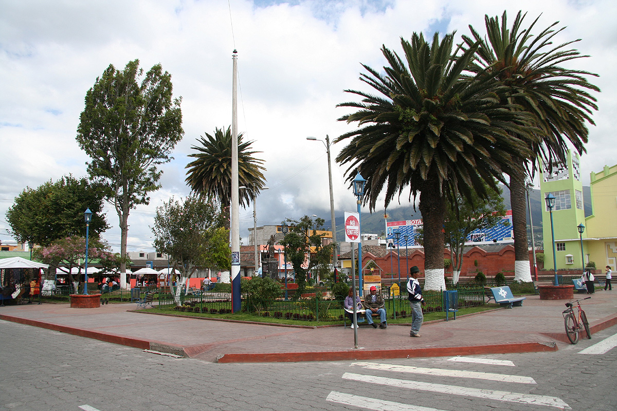
valley and then in the direction of Cotacachi. First,
a stop in the town, by the same name.
We bought more drinking water and I picked up a few gifts to bring home. We continued uphill, driving
towards the quite well known lake Lago Cuicocha immediately below the
slopes of Cotacachi. Just before the lake there is
a big entrance gate spanning the highway. Our motel was located a short way up a dirt road forking left.
The rooms were ok, the place had a dining hall and served dinner that could be ordered from a menu.
We were all looking forward to the last "warm-up" climb, an attempt
on the (considerably) more difficult mountain Cotacachi.
(This trip report continues there.)
Resources: