Location: North 43.18425, West 109.65421 (GPS on the summit)
Location: Wind River Range, Wyoming, USA
Climbed July 28, 2012.
Difficulty: YDS class 3.
Information:
How to get there:
This peak is in the Wind River Range, there are several possible trailheads, the peak is
pretty far from any public road regardless of approach.
We drove north from Denver to Laramie in Wyoming, then followed Interstate 80 west to Rawlins
where we headed north on Hwy. 287 that also is Hwy. 26 as one get closer
to the small town of Dubois. We had a nice dinner in Dubois,
before heading to the trailhead.
Dubois is a bit too far, drive SE on Hwy. 26 from Dubois about 3.7 miles and turn right
on Fish Hatchery Road, then immediately left on Trail Lake Rd. Continue 9 miles along the
obvious road (good dirt road) to a good sized parking lot at location N43.42584, W109.57394,
elevation approximately 2320 meter.
Here is a quick reference and summary of all
peaks visited on my 2012 summertrip to the USA.
Route description: To high camp:
The trail to Gannett from this trailhead is named Glacier Trail.
The round trip distance, trailhead to summit, is almost 90 kilometer, a strong
party will normally require about 4 days to complete this climb.
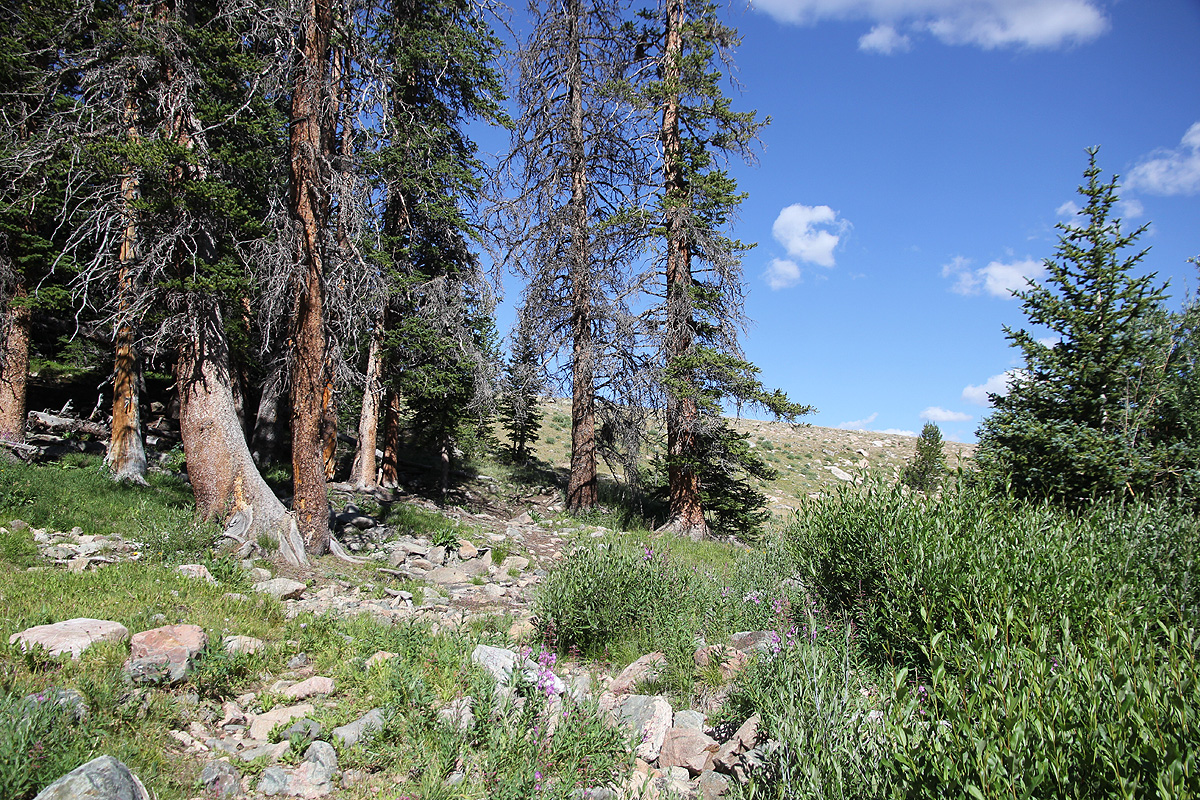
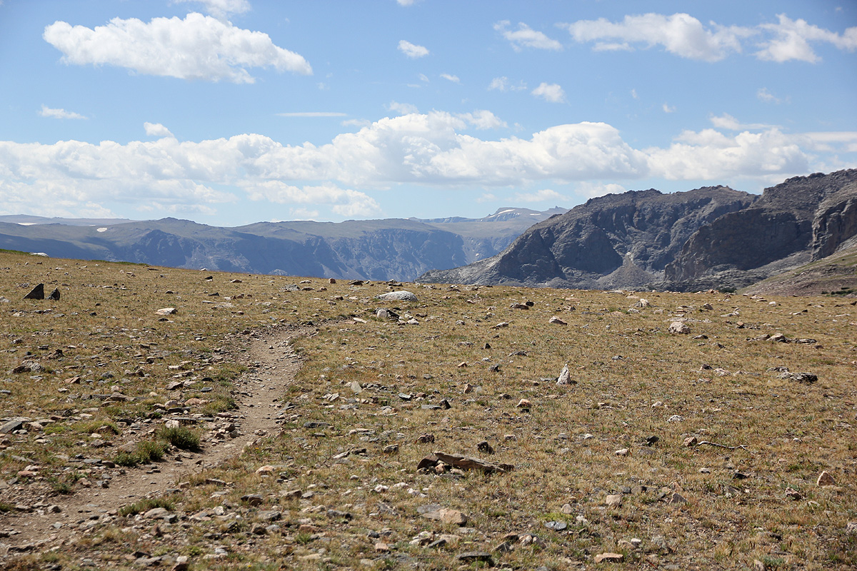
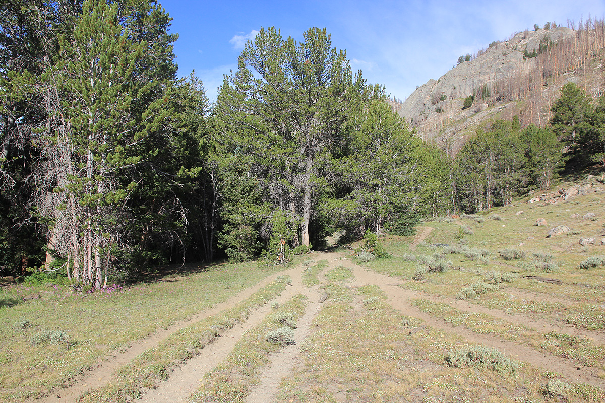
There are good signs. The trail begins up slopes to the right
when viewing up the valley (away from where the road entered). However, there are two early trail forks
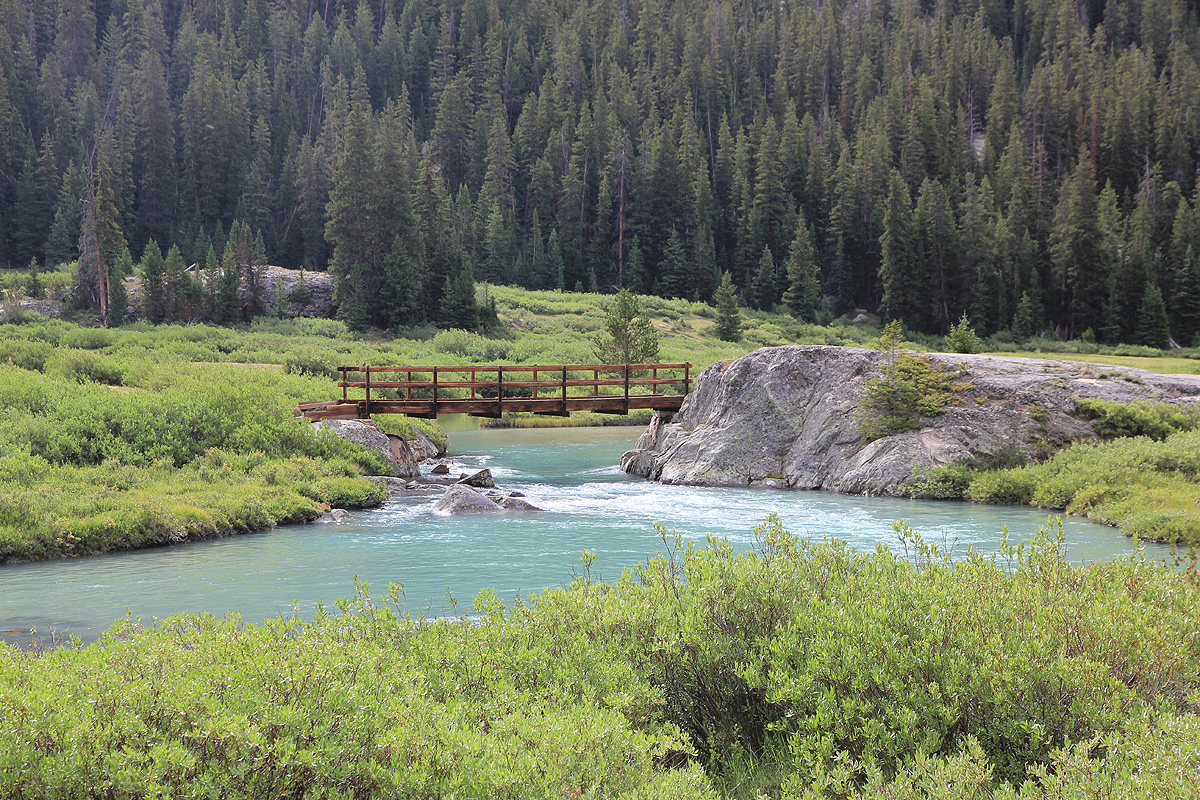
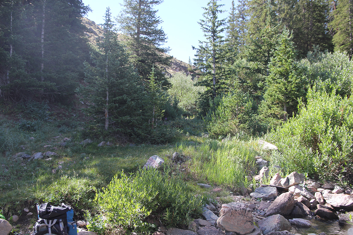
and Glacier Trail forks left in both of these. The trail climbs and crosses Torrey Creek on a very sturdy
bridge. The river runs steeply downhill in a deep gorge at this place. The trail continues to climb, crosses
a shoulder and enters the nice and grassy Bomber Basin. From here, the next section is a zig-zag climb
up a rather large and steep slope. On top of this slope, the trail crosses a nice little
creek, then continues a gradual climb to a significant pass at location N43.35056, W109.57942, elevation
about 3330 meter. Before reaching this saddle, the Old Glacier Trail merges in from the left hand side.
This trail is still used by horses starting from the same trailhead area.
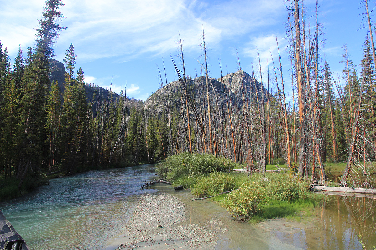
The route now heads downhill and crosses an area of dead trees before reaching Double Lake. From here,
the route subsequently ascend a new hill to
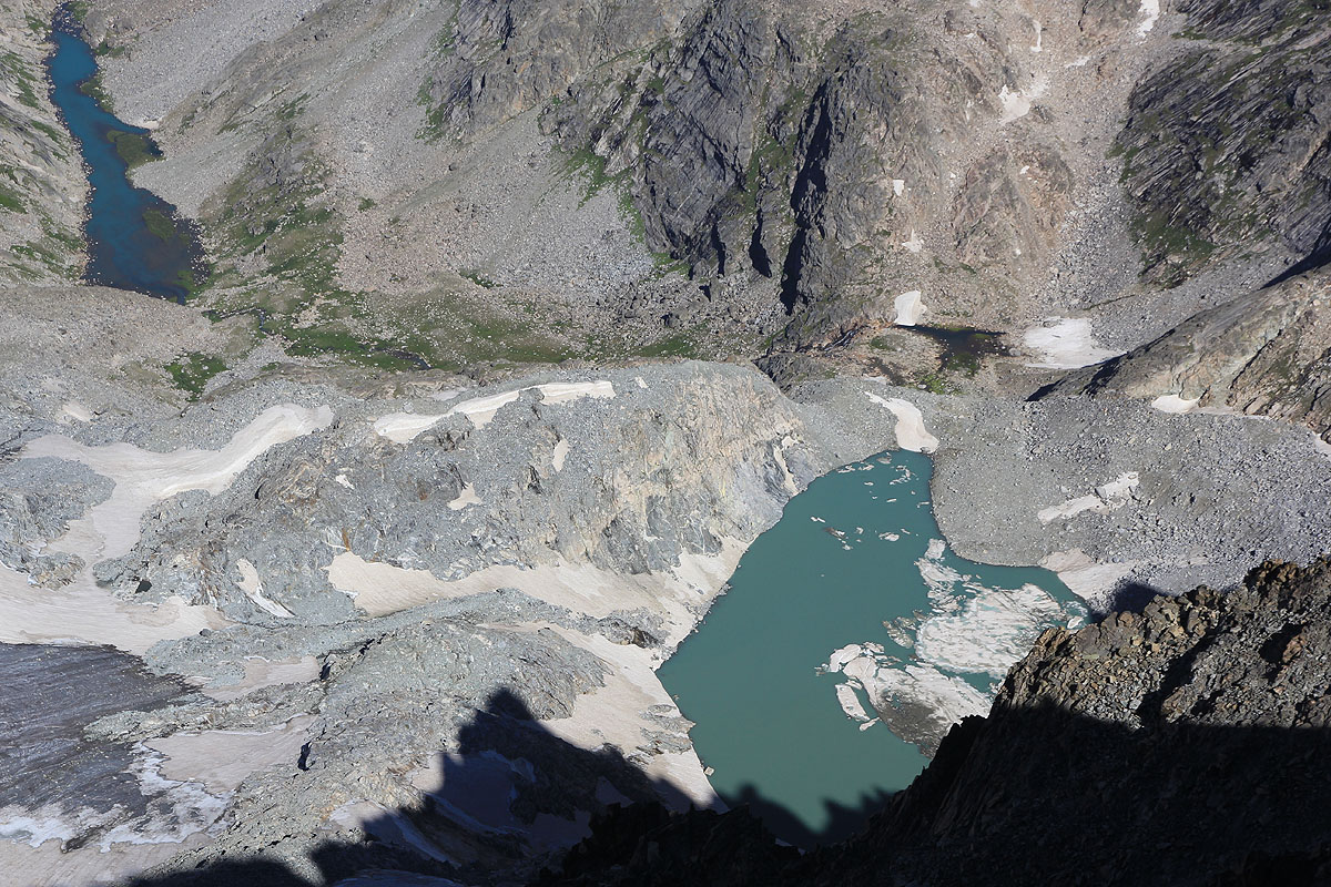
reach Star Lake, near N43.30444, W109.57237 and a new
saddle at about 3150 meter. Next, follows the biggest loss of elevation, a descent often zig-zag, from
high above Honeymoon Lake to well below it at Honeymoon Creek Camp. This location is at
N43.29212, W109.55720, elevation about 2790 meter.
The trail now reaches the big river Dinwoody Creek and follows the west bank upstream, before reaching a fork
where we go left and cross Downs Fork Creek on a big
and sturdy bridge. Subsequently, we again
follow the west (right) bank of Dinwoody. Next, is the Big Meadows, a large open
area where the main trail keeps along the right side (when heading upstream).
The next waypoint is the junction with
Ink Wells Trail, then another bend on
the trail and Gannett Peak finally comes into view at the
upper, far end of the valley.
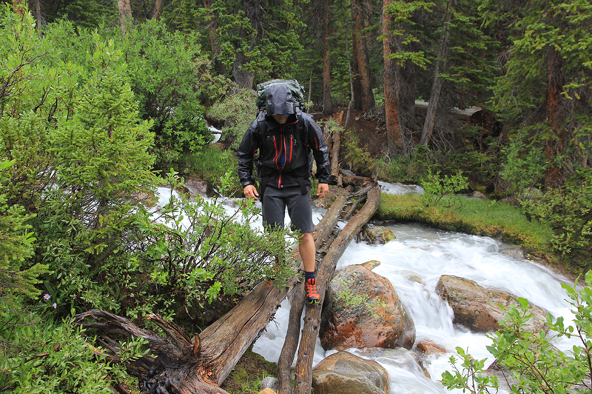
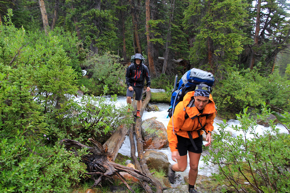
The next section of this route involves three more creek crossings,
none of them on a bridge and
quite awkward when the creeks are running at capacity due to snow melting and warm
weather. The first, Klondike Creek has a few slippery logs across. The second creek is quite easy, while
the third, Gannett Creek again is complex. This creek has split into several streams at the place of
crossing, but still several of the smaller streams may run high and the rocks and logs may all
be slippery.
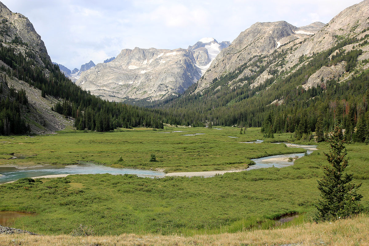
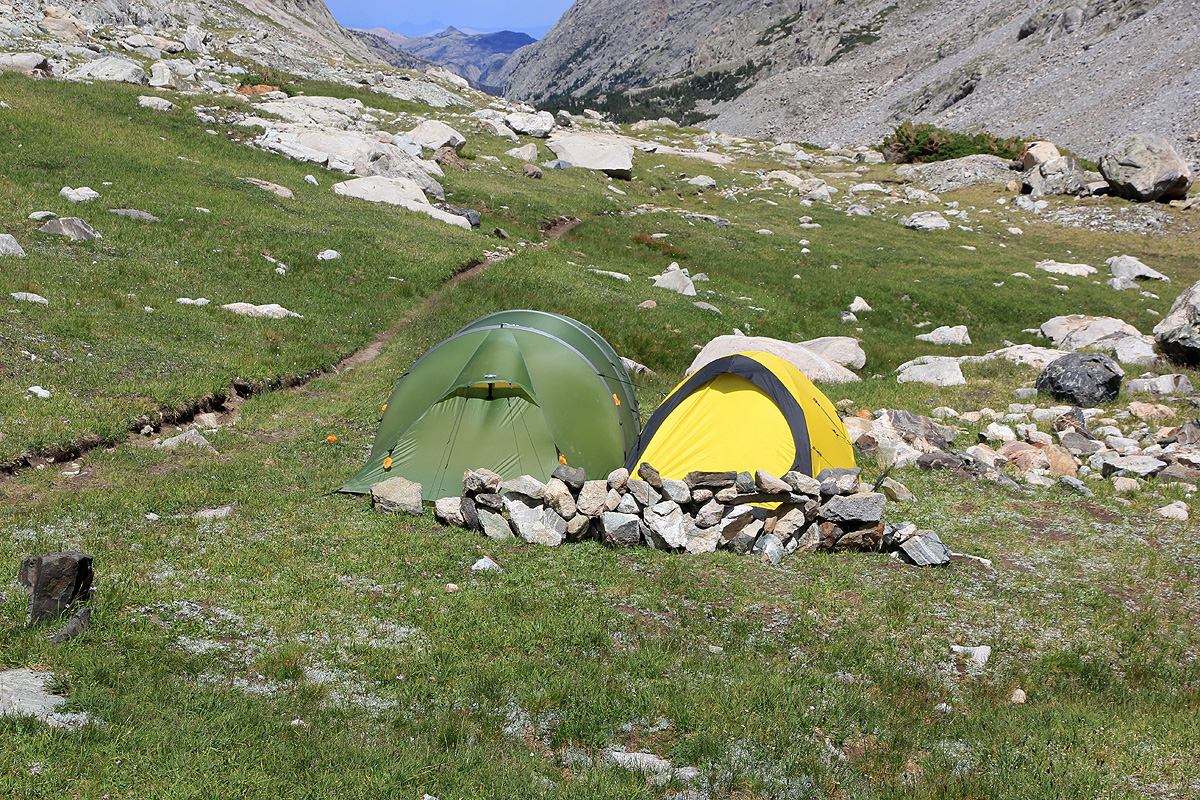
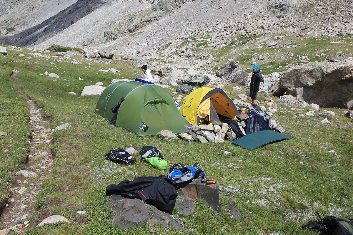
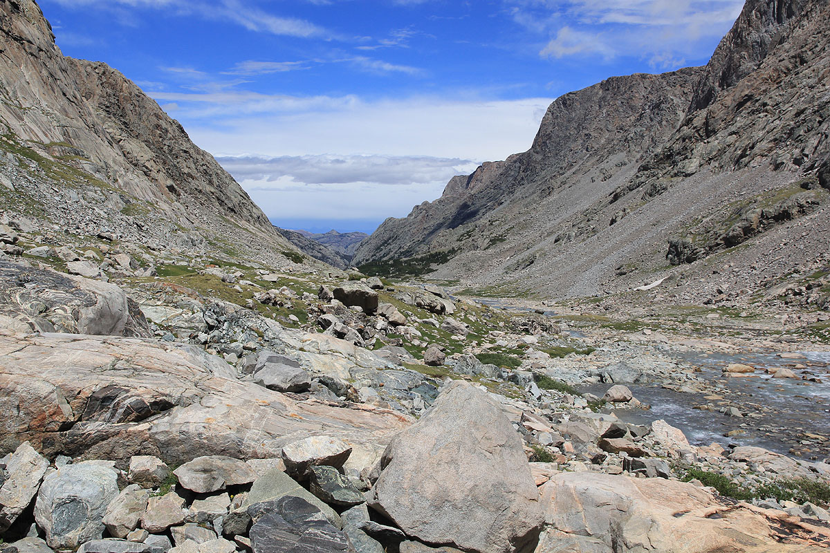
The route climbs immediately after Gannett creek and enters a very nice, alpine valley that eventually
runs out of grass and turns into rocks and boulders. The high camp is best placed before the grass
ends, we stayed at location N43.18665, W109.62457, elevation about 3290 meter. The climb:
First, continue up the valley staying on the right hand side of the river. There is a cairned route,
big boulders and a bit awkward terrain. There are traces of a trail in between the more complex
sections. Pay closely attention to the cairns, this route is likely as good as any alternative. Eventually,
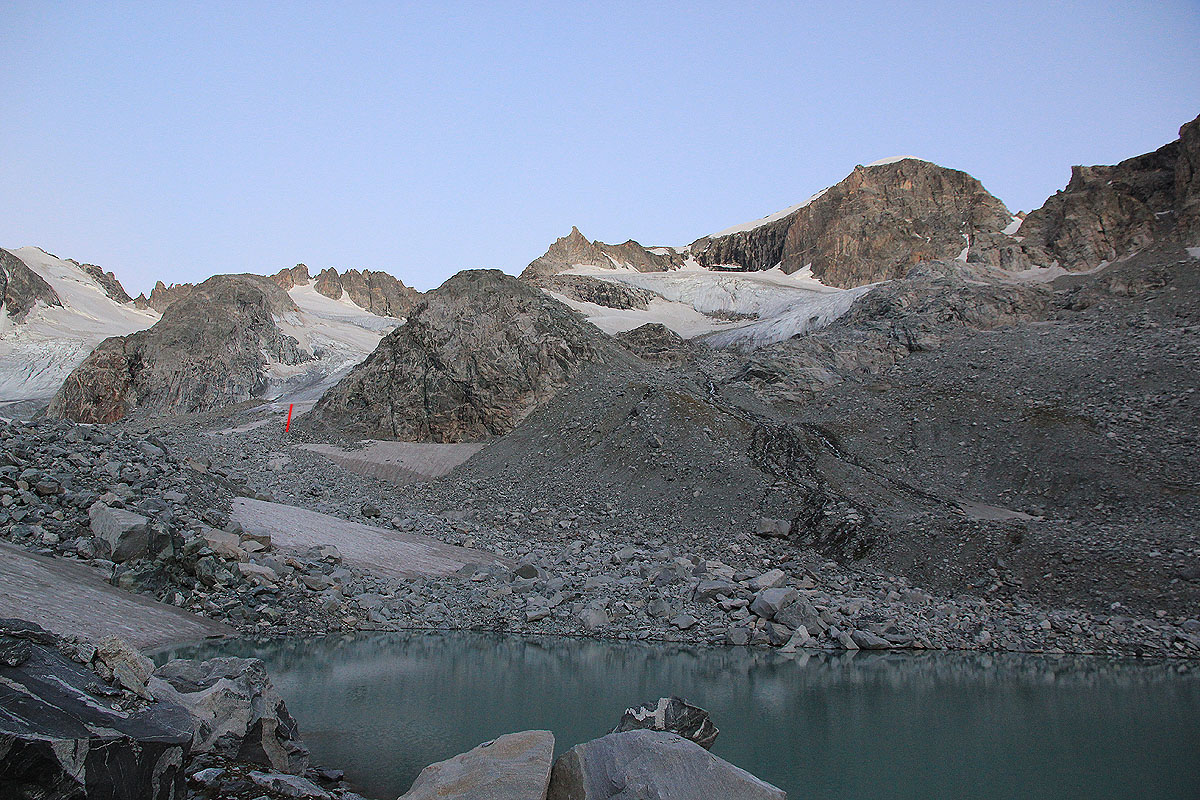
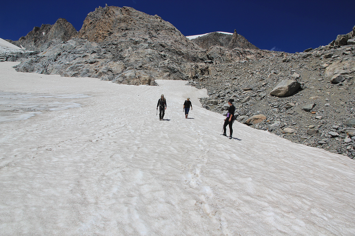
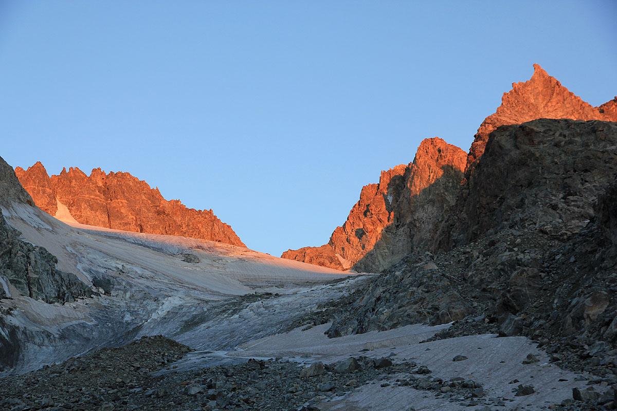
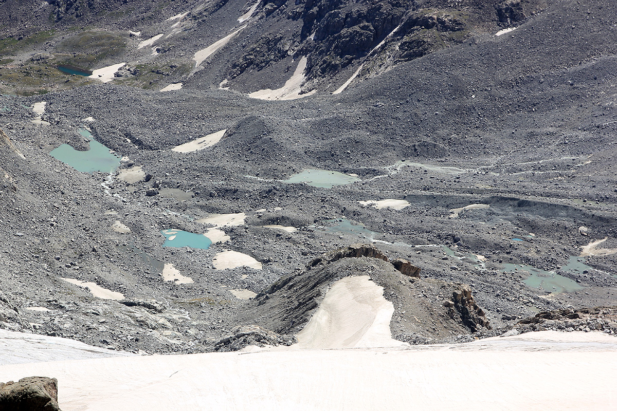
you will reach some permanent patches of snow as well as some moraine ridges.
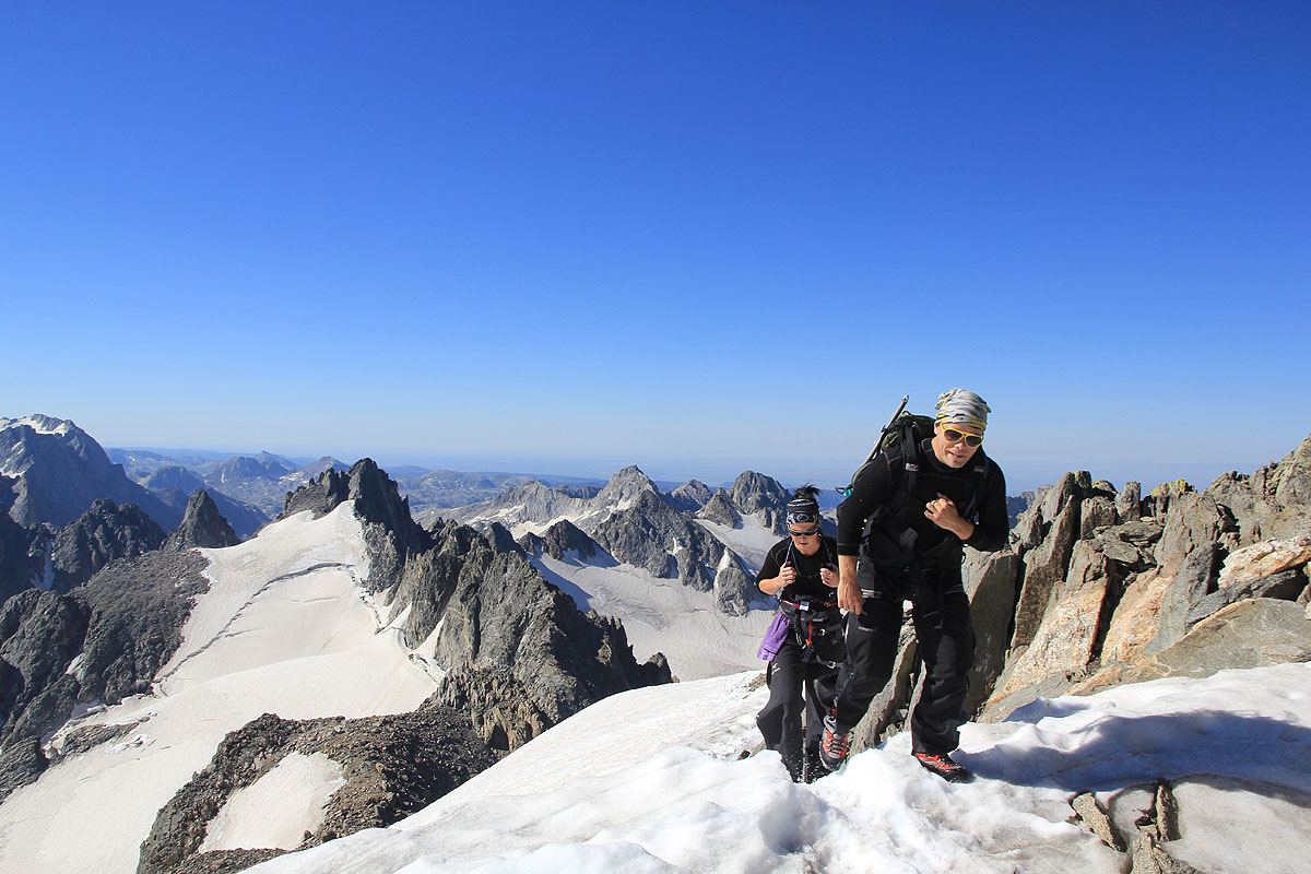
The going gets easier here. Looking at the previous picture, the key is now
to ascend easy snow indicated by the red line. Crampons may be needed if this surface is hard. Ascend along the
right hand side and keep right in order to leave the snow and regain the (broad) rocky ridge at its somewhat
lower section as seen in this picture.
That is, leave the snow and ascend right.
When you reach the top of this ridge, continue left and follow the rock. Higher up, you will see a steeper
section, but the scrambling is perhaps easier than it first looks. This section is (YDS) class 2+ with a few
short moves at the (YDS) class 3 level. Near the top, the easiest route will traverse a bit left and finish
the ascent on the left side of the ridge.
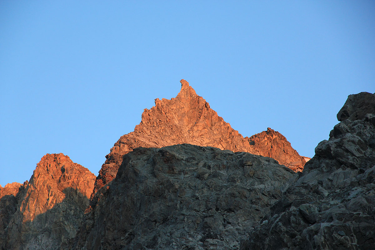
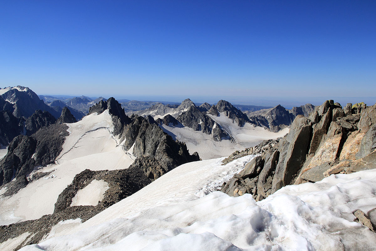
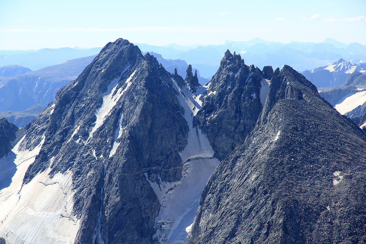
The next section, is less steep. Head a bit more right to gain a new rocky ridge line above you. This ridge
runs straight towards the very steepish upper part of the mountain, culminating in the very characteristic
Gooseneck pinnacle.
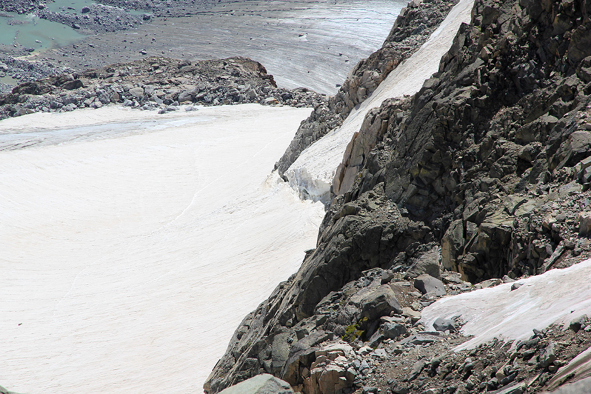
That is, the route continues up the rock until further progress is blocked by steeper terrain above. At this
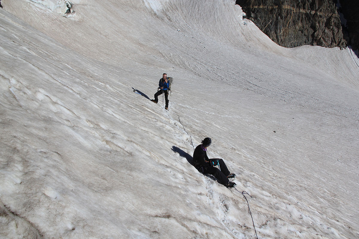
point, one can easily traverse right onto the glacier.
Continue an ascending traverse (going right) on an easy
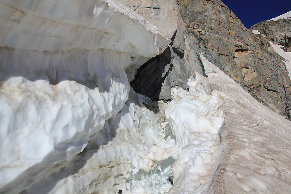
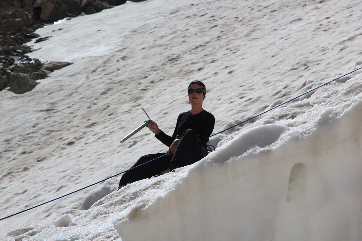
slope. This glacier has crevasses, so a rope is recommended.
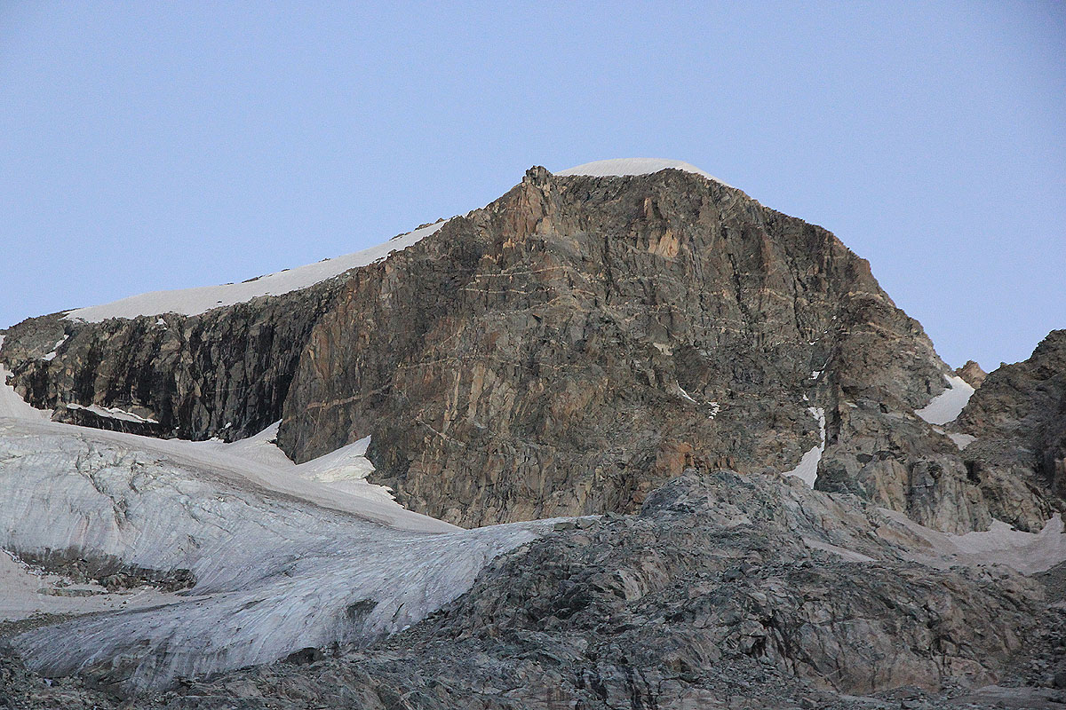
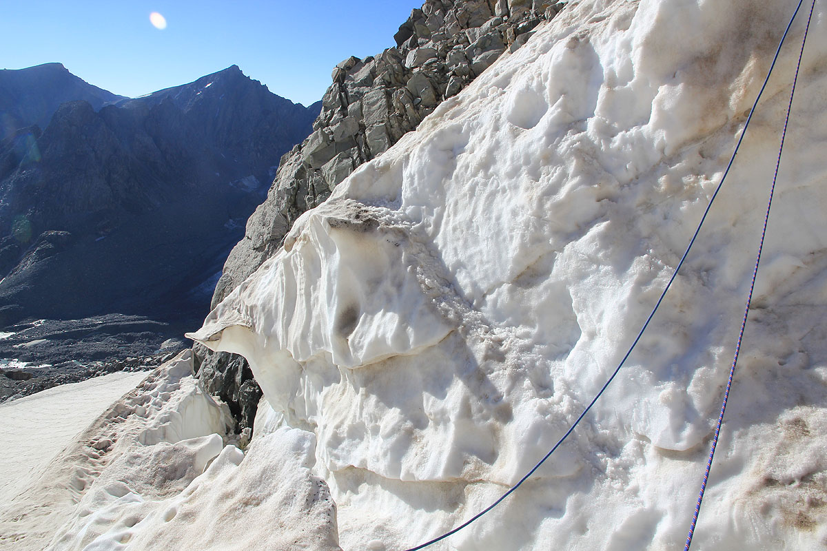
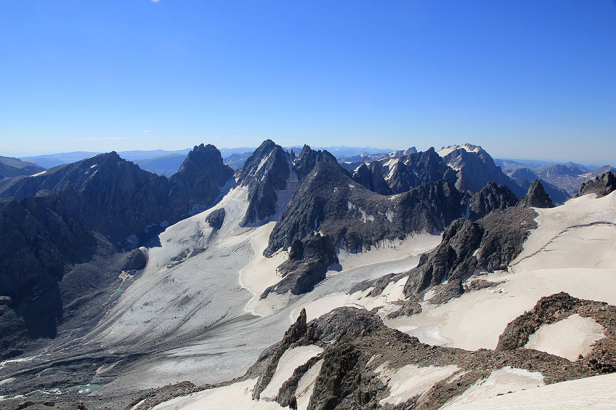
There is a big crevasse (bergschrund type) running
parallel above this line of ascent. Further onwards, a very obvious
stretch of steeper snow connects from
above. (The previous picture shows the crevasse crossing and the steeper snow above it.)
Sometimes, the crevasse is even closed by a snow bridge at this point.
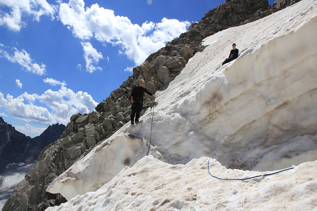
Cross the crevasse and ascend this
steeper snow until its upper end. The slope is considerably less steep at its upper end. This section is
the crux of the route. The snow / crevasse combination is steep enough that most parties will protect this
stretch by using a rope. With very good snow conditions (early summer?) this part may also be ascended without
protection.
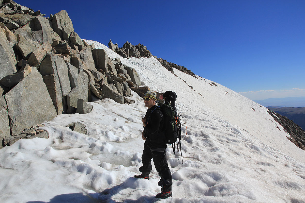
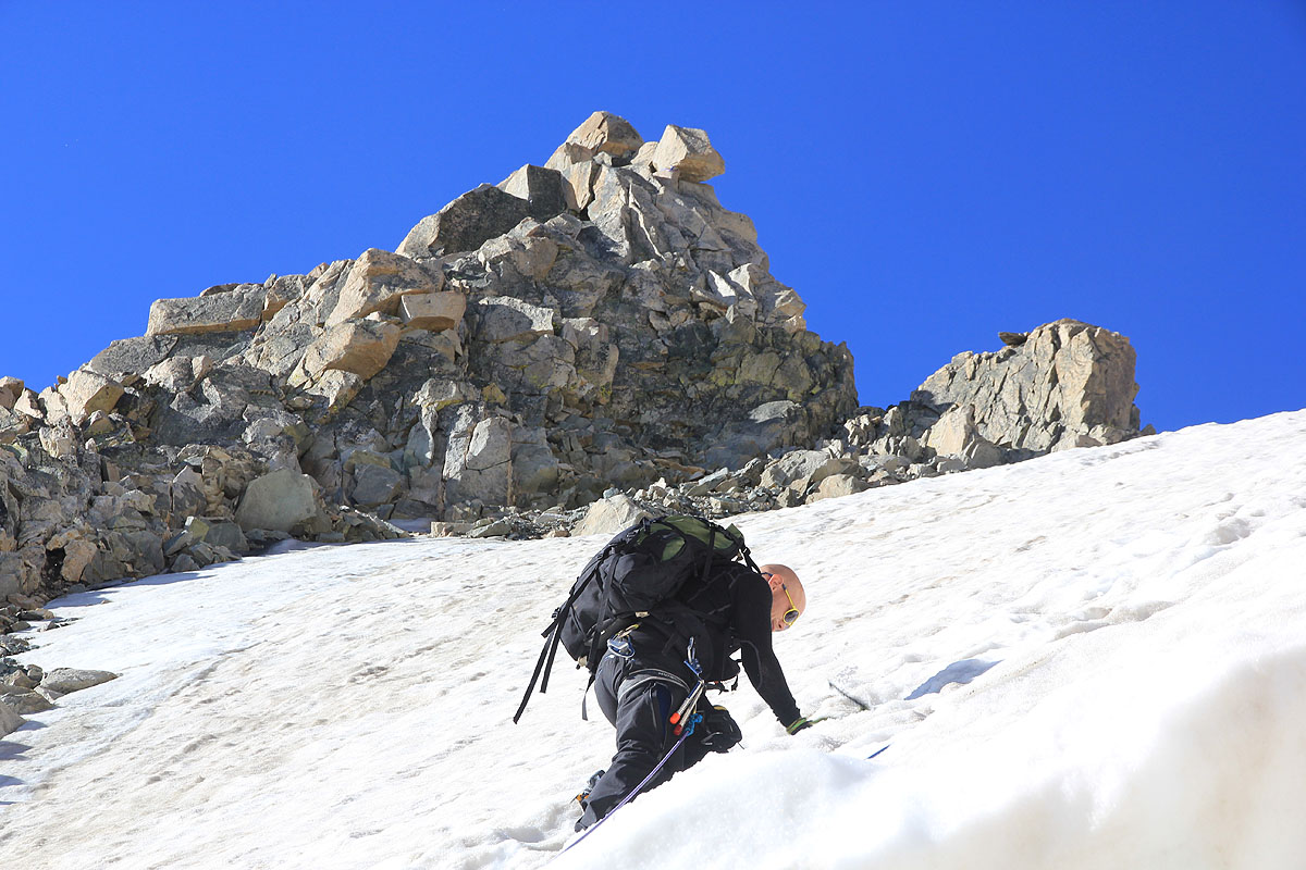
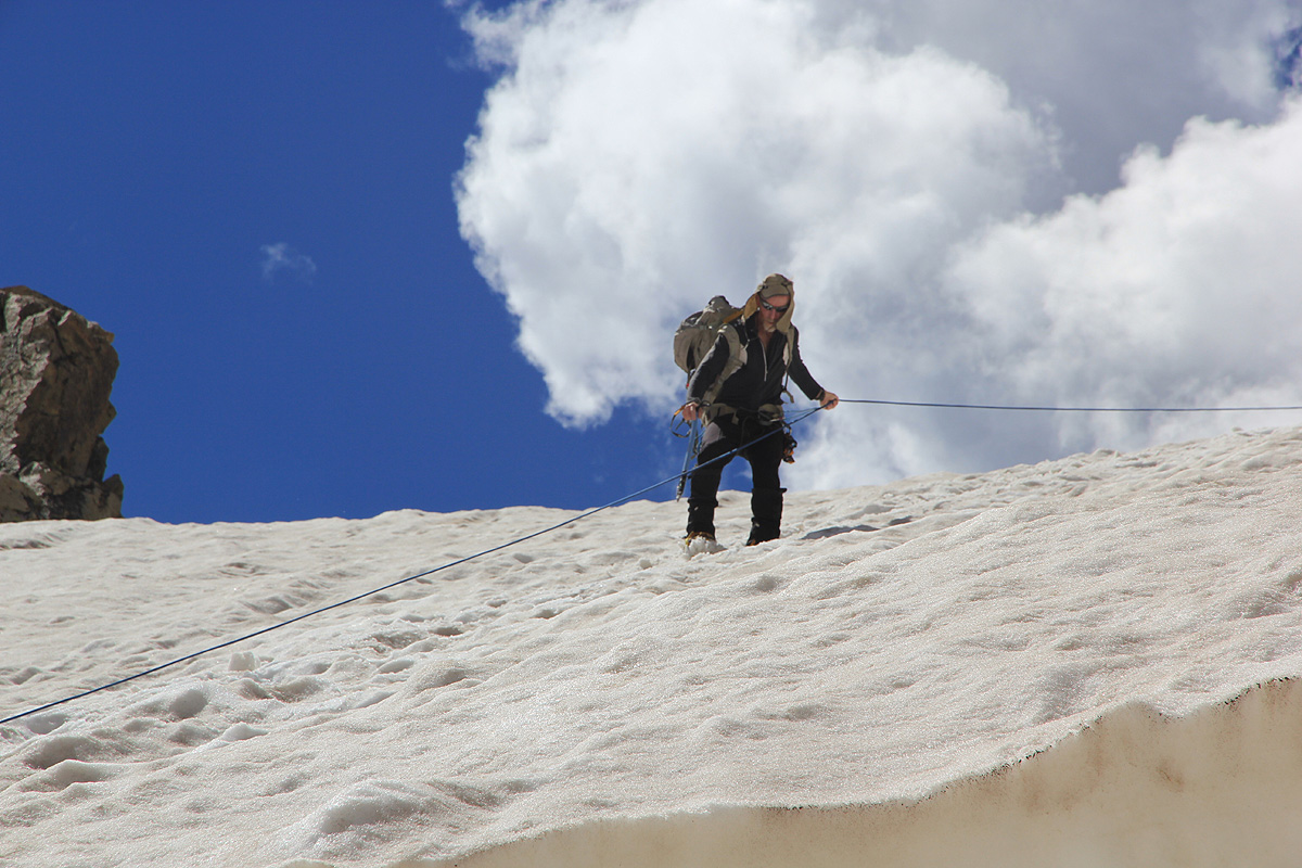
Exit right at the top of the snow and follow traces of a climbers trail ascending while staying on the right hand
side of the top ridge in the beginning. Ascend to the ridge higher up and continue up the left side of the
slope ahead that connects with the ridge you are about to complete. This (easy scramble) will get you to
the final, summit ridge of Gannett. This ridge runs right and is a bit jagged if followed along its very top line.
Most often, a better line is to ascend a bit on the right hand side
of this ridge, while staying above and away
from the steeper snow slope below. This completes the route as you soon will arrive at the final summit
rocks.
Comments / Trip Report:
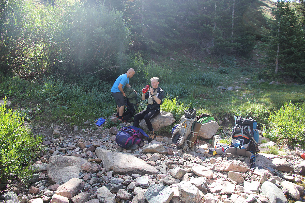
I did this climb with Melanie Hetkamp, Eirik Andersen and Rob Woodall.
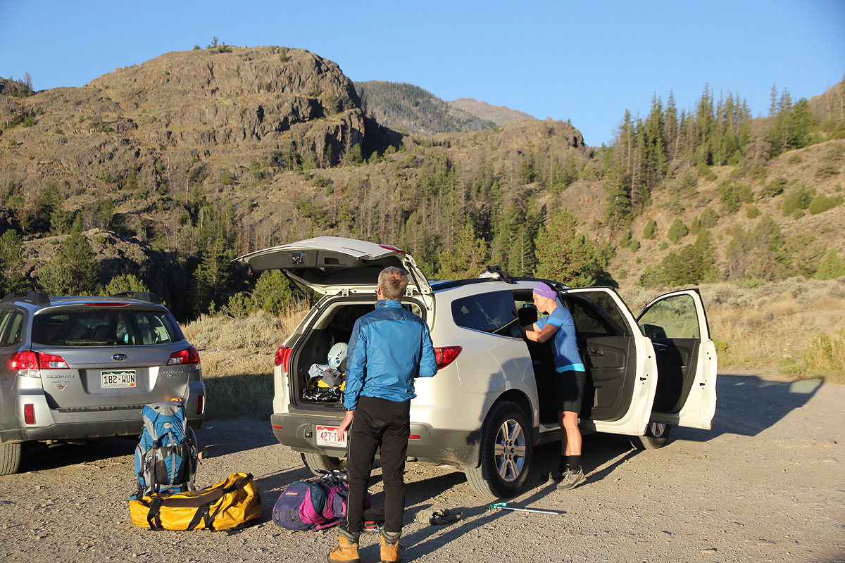
We drove from Denver in the morning, July 25, and decided that a good dinner in
Dubois would be a good idea before sleeping at the trailhead.
The next morning (July 26), we started at 0720.
It was a most beautiful morning and soon we came to the bridge across the main river, a rather
impressive gorge and powerful water. Our big summertrip had finally started! Melanie and Eirik
had been sightseeing in New York and Denver, this was their first visit to the USA.
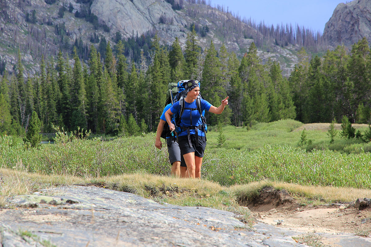
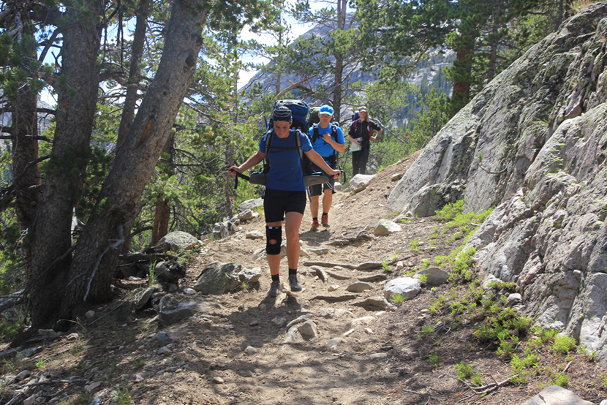
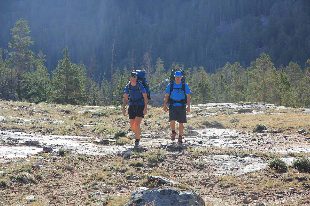
We proceeded into Bomber Basin and before long, zigzagging up the slope to higher ground.
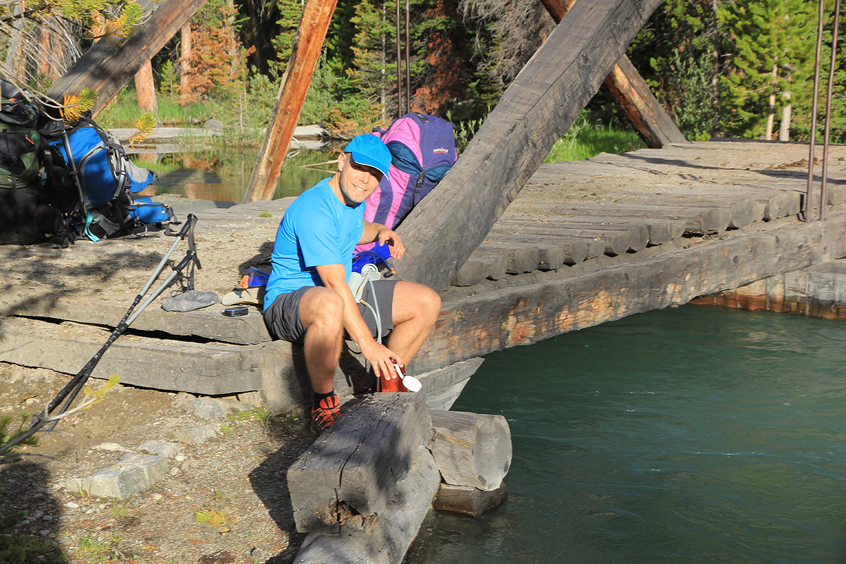
Our first stop to collect
some drinking water was already
near the treeline, we could sense the high pass further
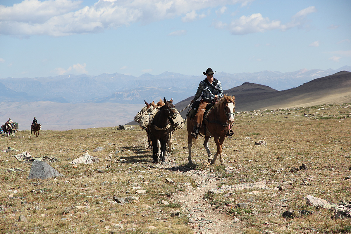
onwards. On the way there, we saw the Old Glacier Trail merging into our trail from the left hand side.
A pack of horses came that way
and caught up with us just as we rested in the main pass.
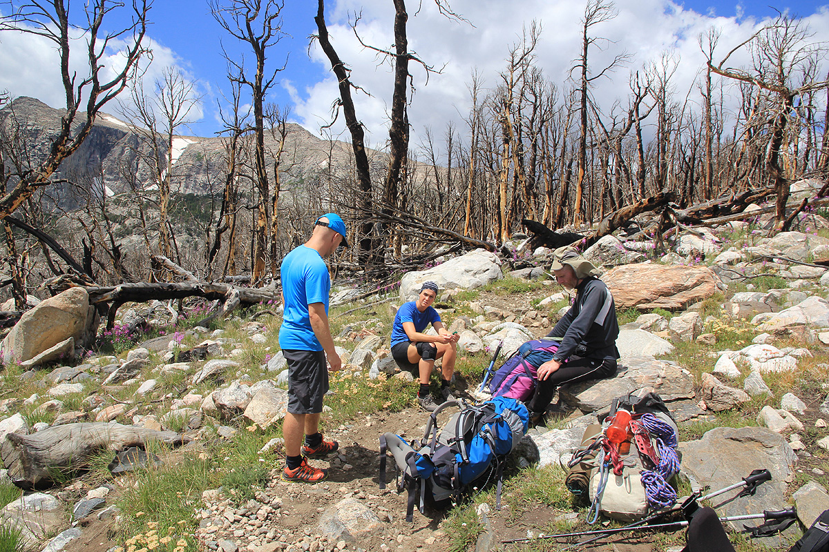
Now, we had downhill and the going was easy
as we passed through this area of burnt trees before getting
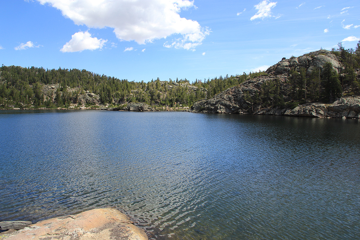
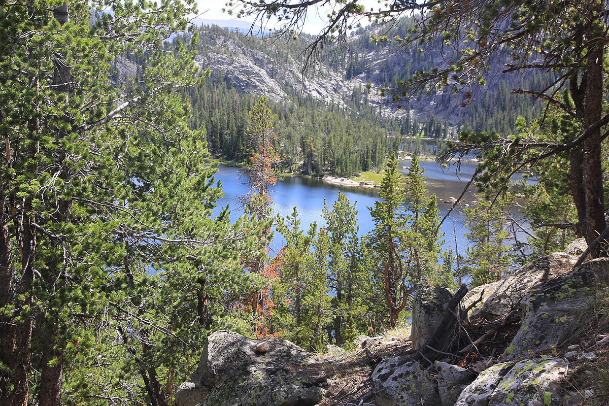
to the creek, then the Doublelake lake. A few people had actually hiked in here. We all felt the backpacks more
now, in particular as we started the climb up
to the crossing near Star lake. We had sort of agreed that
the first camp should be at Honeymoon Lake.
However, this was not to be, the trail descends much lower than the
lake. We were all tired (perhaps mostly me?),
when we finally could set up camp at Honeymoon Creek. We had been
hiking more than 8 hours, arriving at 1535.
This place was full of mosquitos, not the best camp site I have been to.
We made dinner, secured all food
items high between two trees, then escaped into our two tents - away from the flying tyranny..
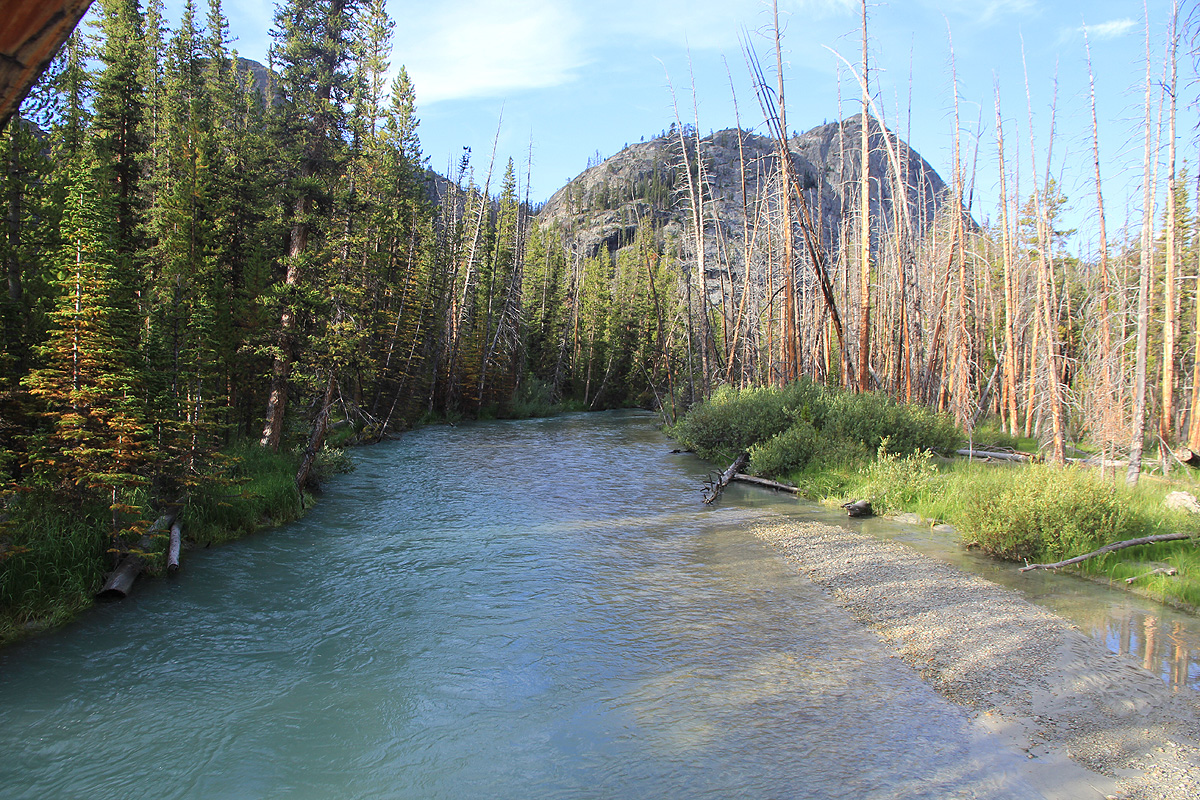
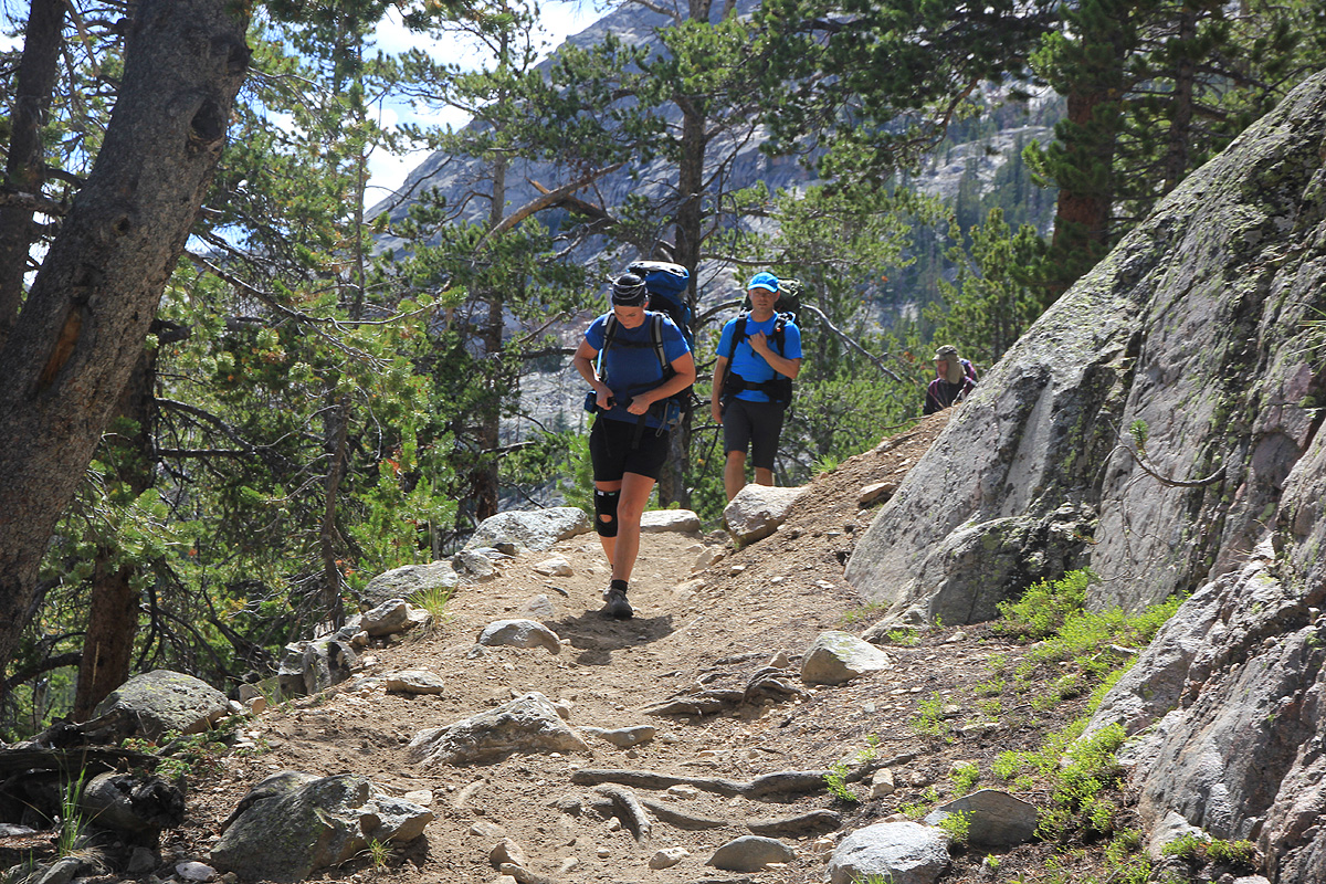
The next morning, we wake up early and are back on the trail already at 0650.
Soon, we were hiking along the river, finally at least in the correct drainage.
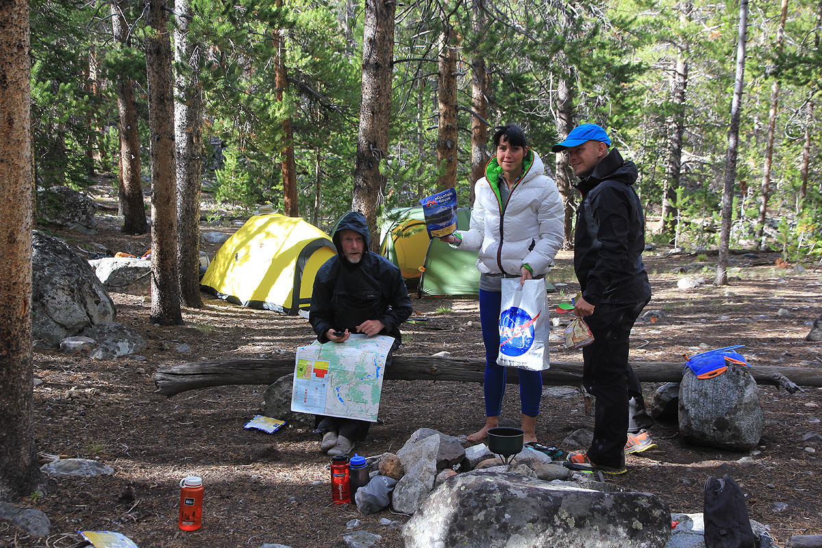
Quite suddenly, we met a party of 4 that had climbed the peak.
We had a good chat and they were kind enough to give us their local topo-map. A middle aged group
from Colorado, but I knew this was a team with tons of experience. While talking to them, we also
noted a good sized moose walking by in the forest.
There is more trail to cover, generally in very
good condition.
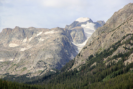
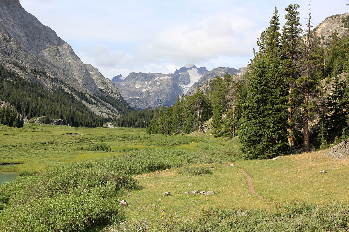
Finally, after all this hiking, we see Gannett way
ahead at the end of the valley.
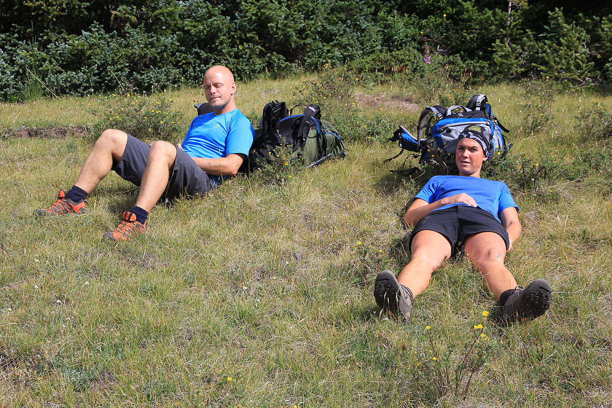
We celebrate with another good rest in the sun.
We continue our walk and have to stay focused as we need to cross several
creeks that are running at full capacity. What did happen to all the sturdy bridges that we have
seen until now? What is left are slippery logs that not even stay above the water.
On top of this, it starts raining. Fortunately, the rain stops after about one hour as we ascend
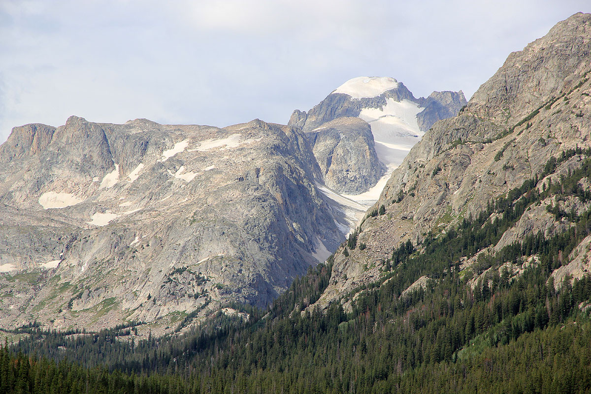
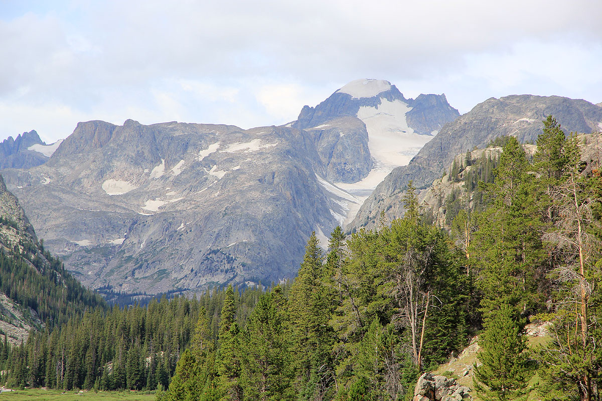
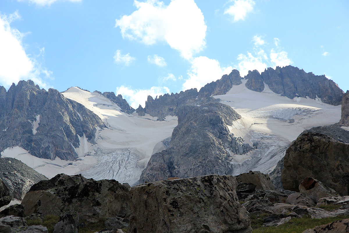
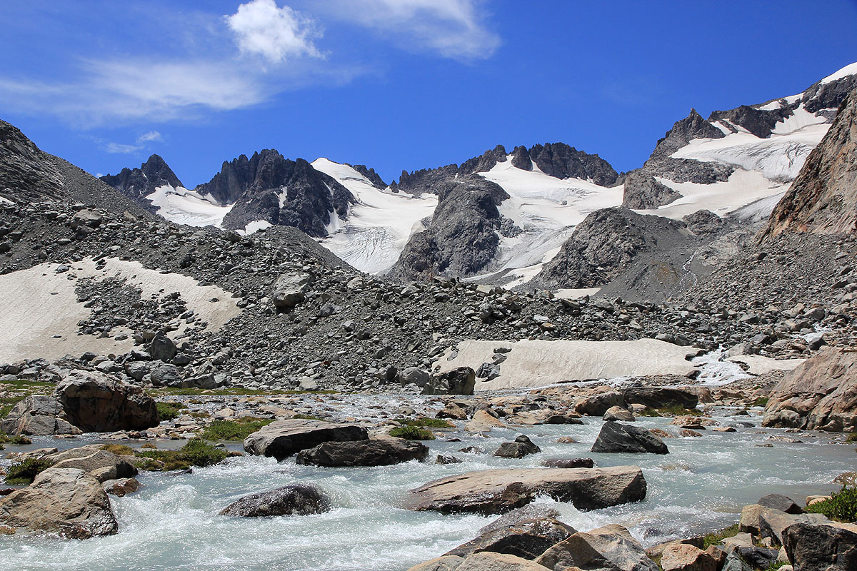
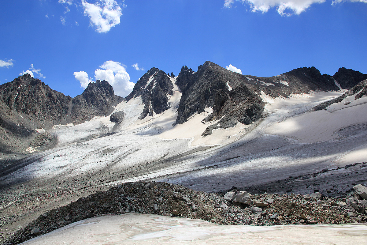
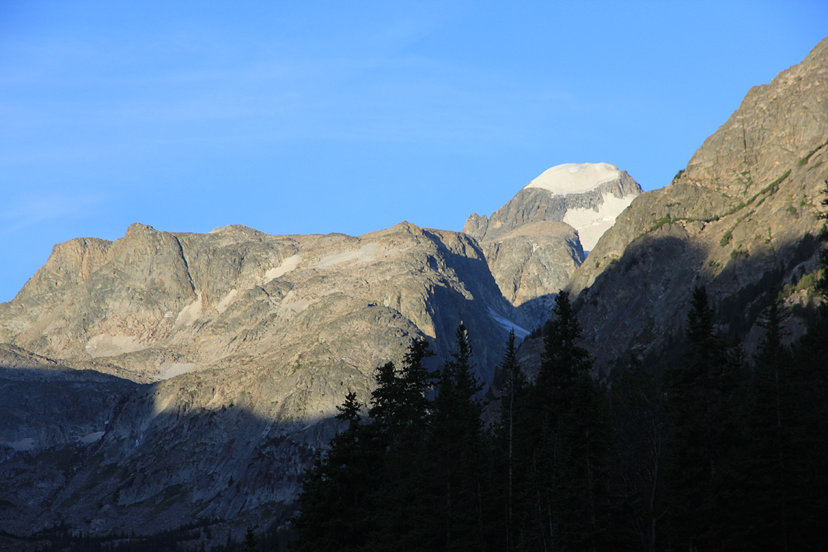
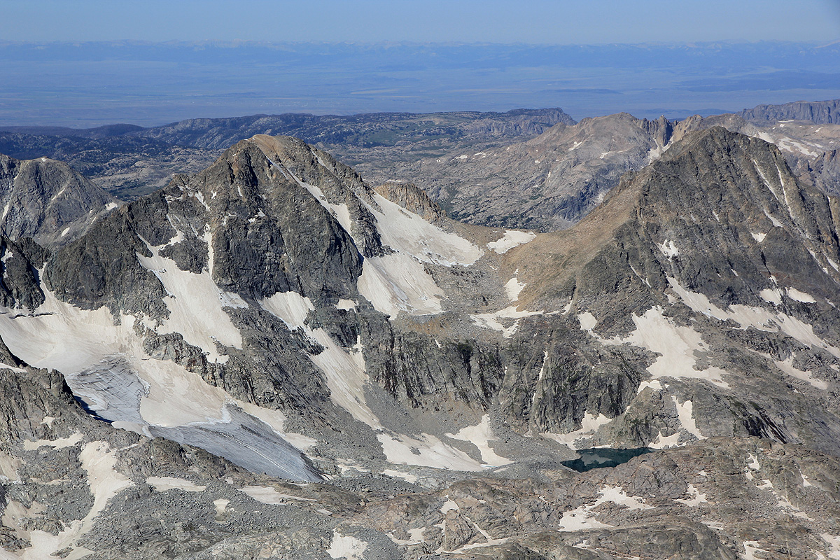
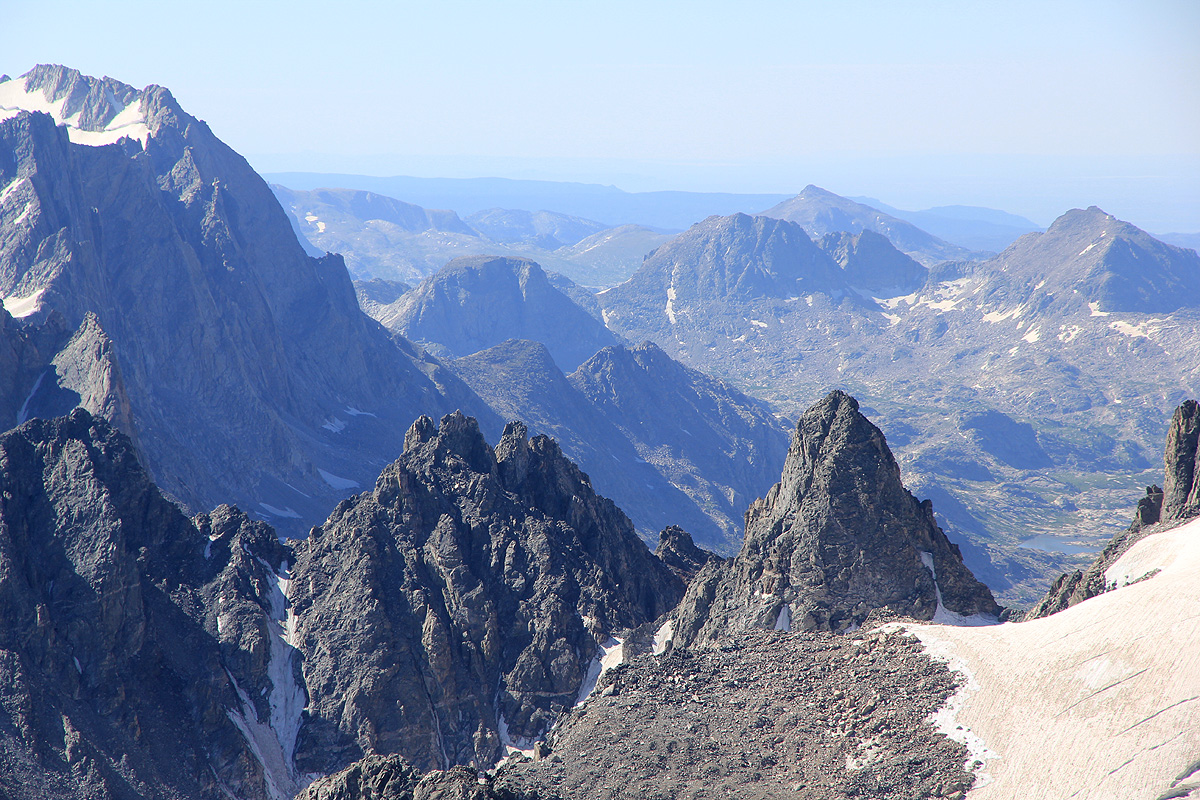
into an alpine valley. The mountain with various glaciers are now much closer.
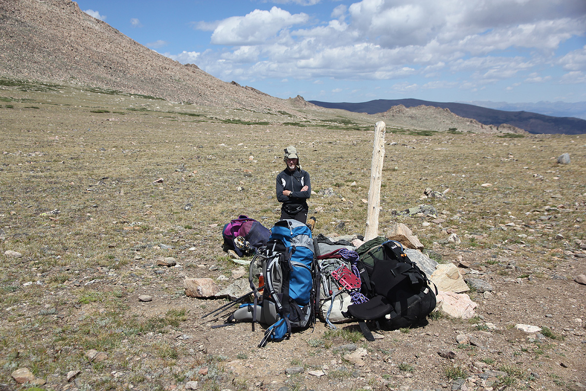
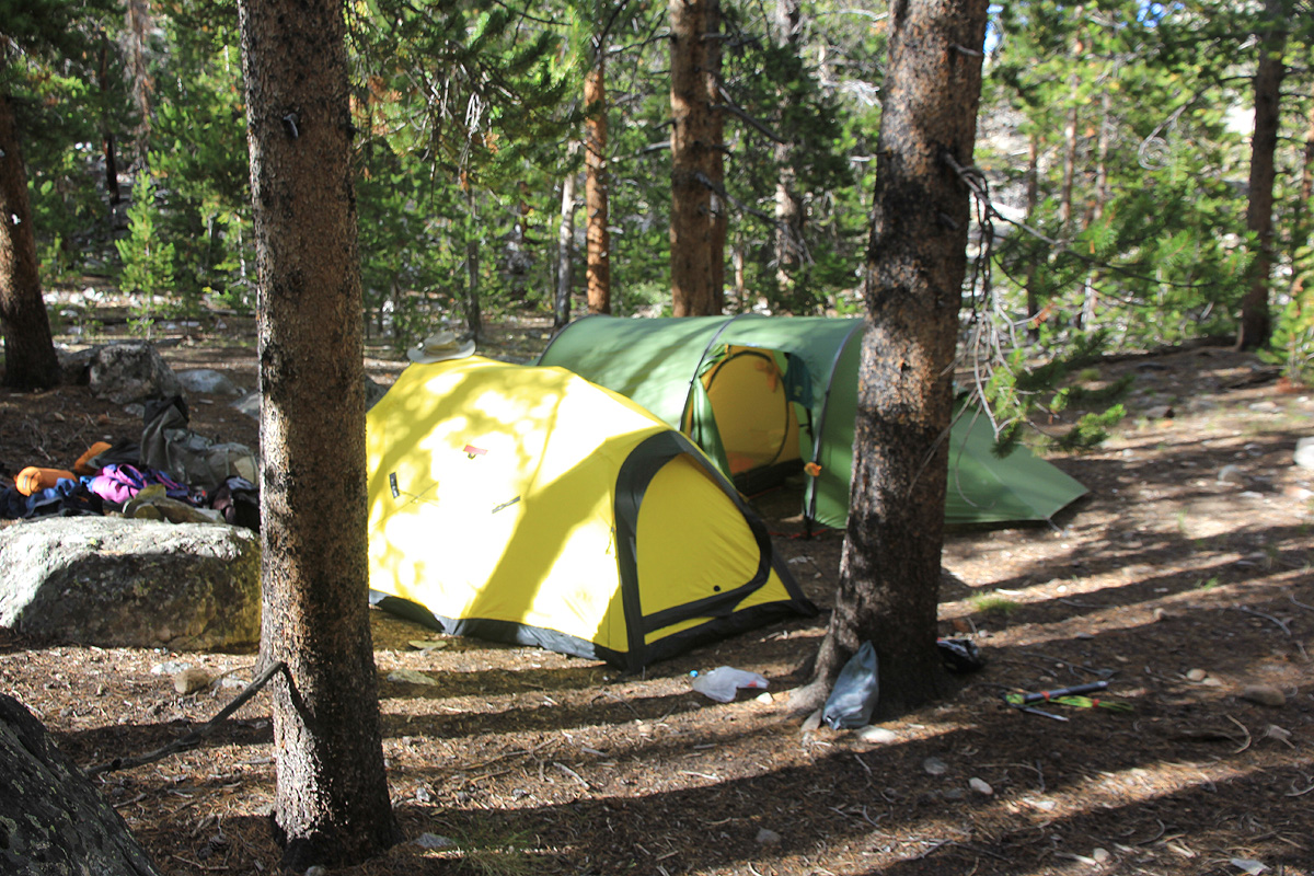
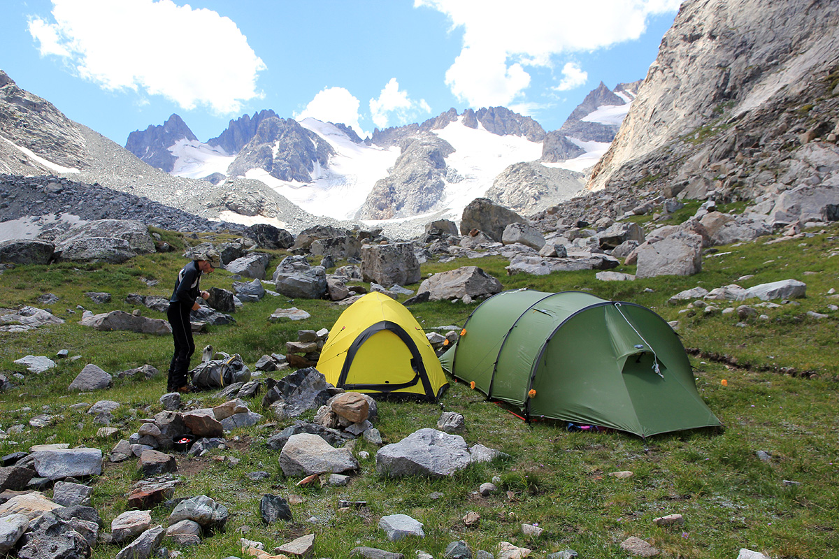
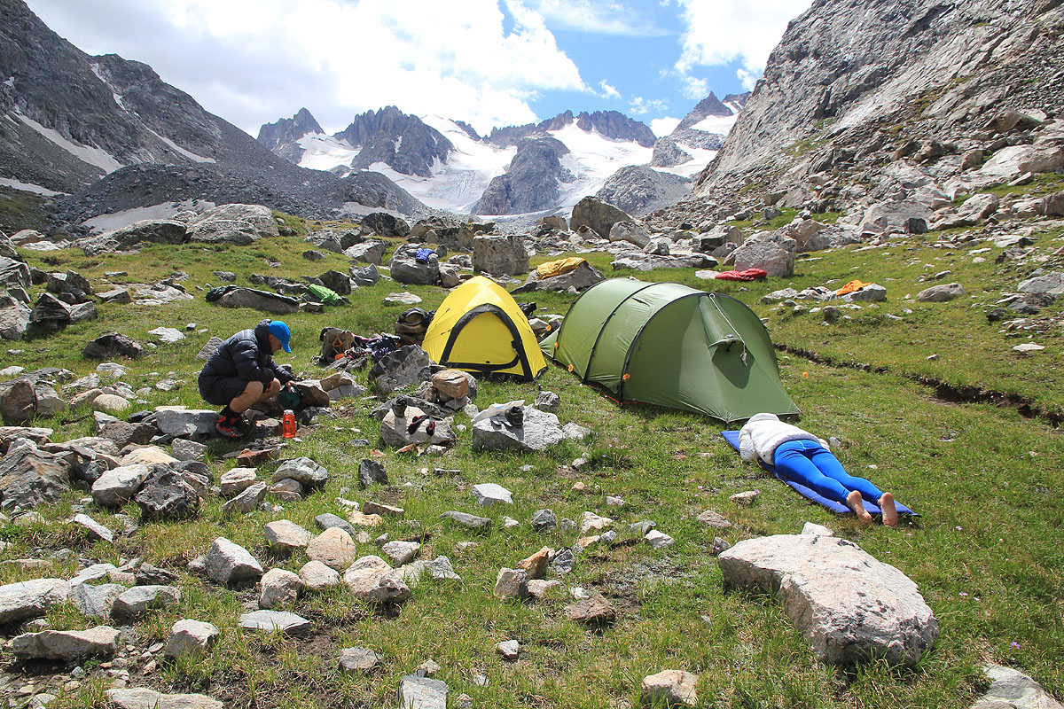
We hike until we are very close to the transition from grass to boulders,
an ideal place to camp before
our summit attempt. The scenery is second to none,
really beautiful. The alpine valley with grass and flowers,
then the next zone - rocks, rugged peaks and glaciers.
We have arrived already at 1330, plenty of time to rest and eat before what appears to be a long summit day
tomorrow.
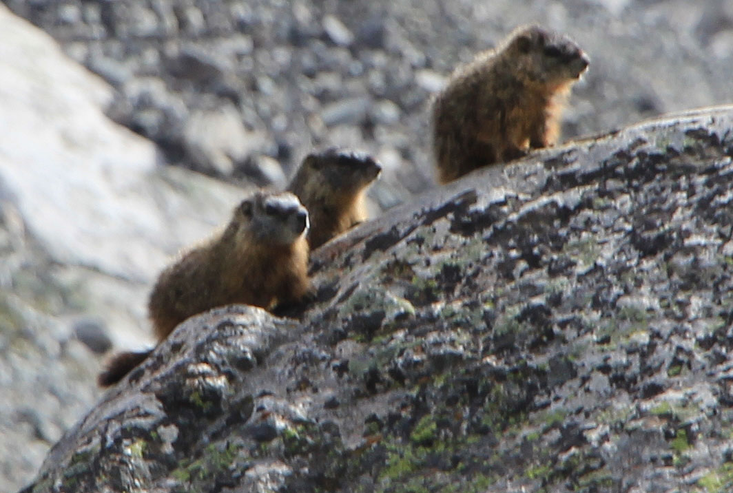
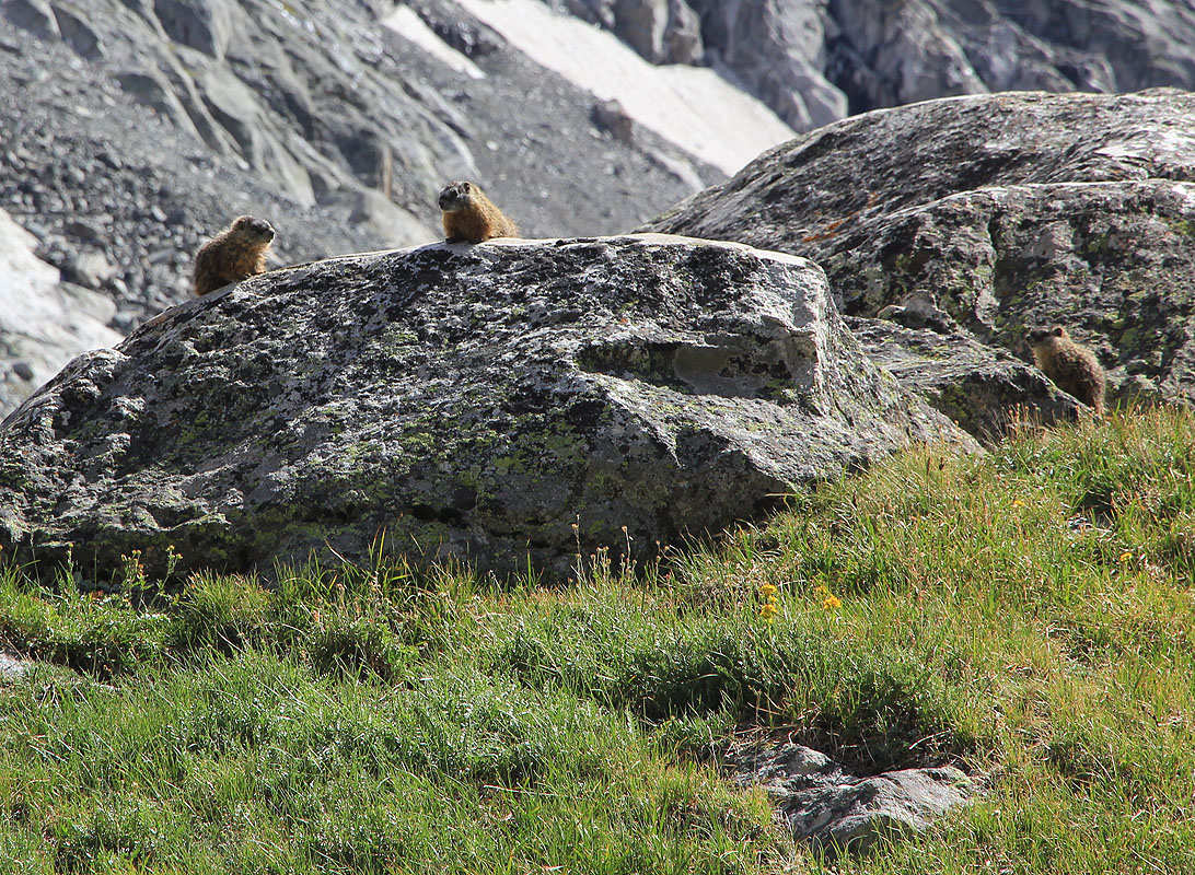
The local marmots do not seem
to pay much attention, I still make a mental note to
close all tents properly before we
leave tomorrow.
The weather stays fine and we sleep early with a sky full of stars.
Summit day.
We leave camp already at 0450, mostly to take advantage of good morning weather and to avoid being
hit by afternoon rain and possibly thunder. It is still dark and our head torches search forward, trying
to see the best route between and across a very complex stretch of big boulders. There are some small
cairns placed here and there, we do make reasonable progress and we can
see that the daylight is coming.
We navigate without problems to the glacier that comes down sort of left when viewing towards the summit
of Gannett Peak.
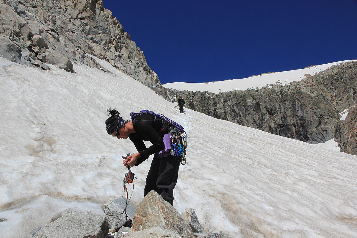
The surface is hard and crusty, so crampons come on. The snow slope
is moderate and we exit it higher up without really walking on a glacier. There are several climbers trails
up the loose side and thus gaining the ridge here at a somewhat lower section. Going up the ridge, it soon
steepens and changes into more solid rock. The scramble up here is not hard and we easily find our way as
the best route takes us more left before we gain a new plateau.
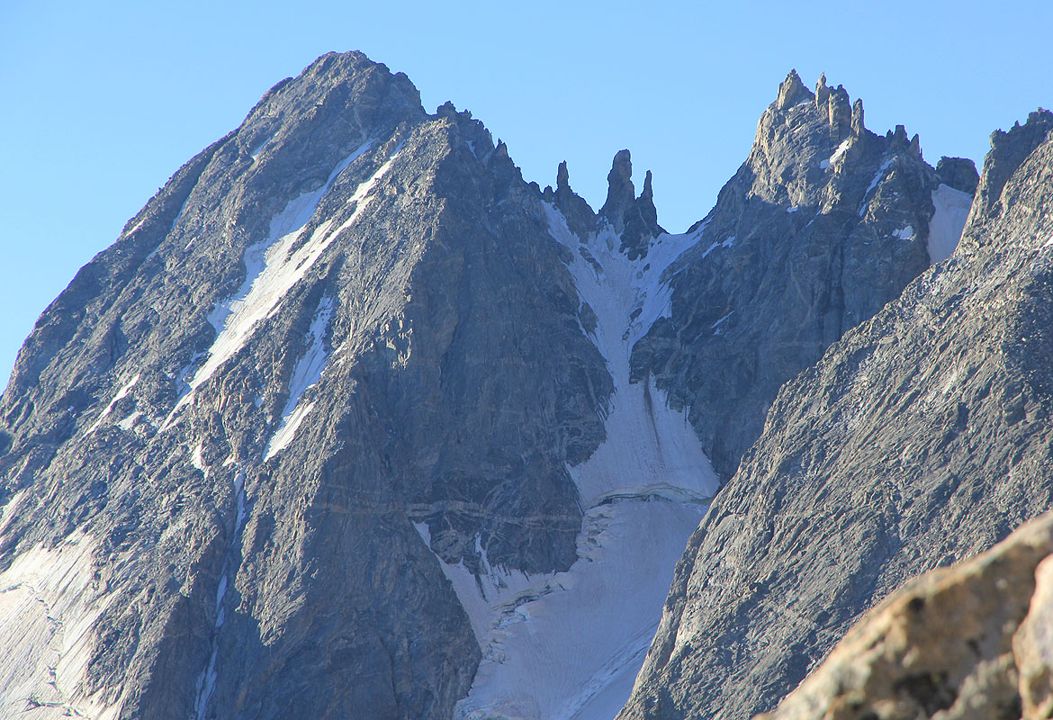
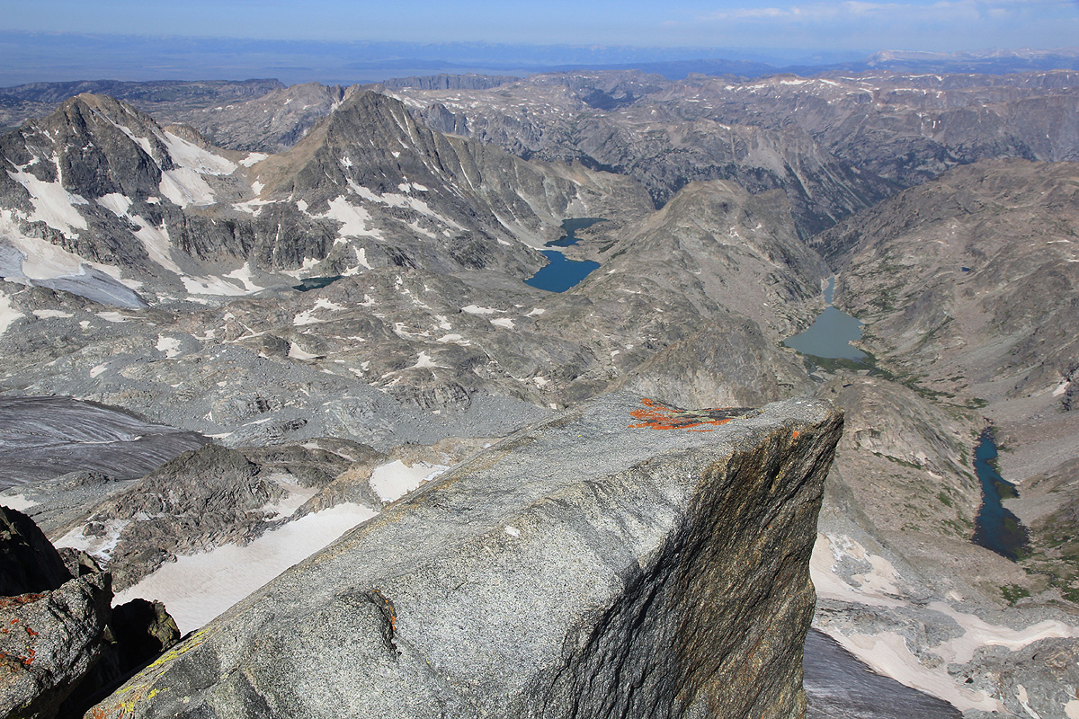
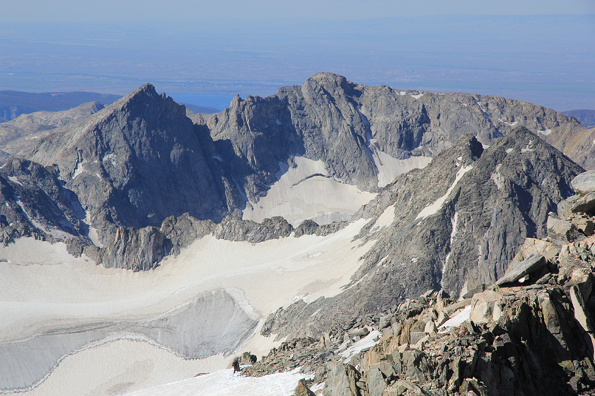
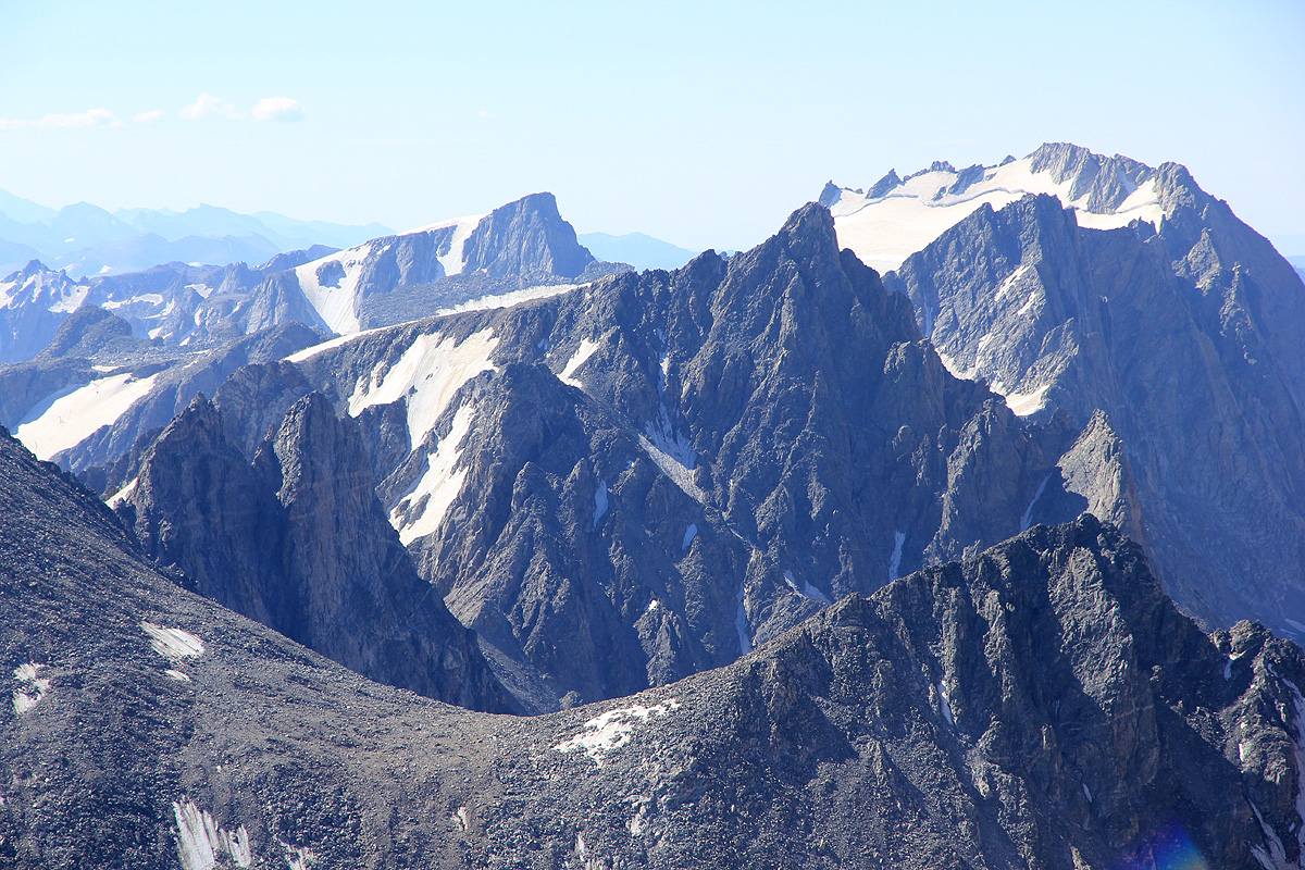
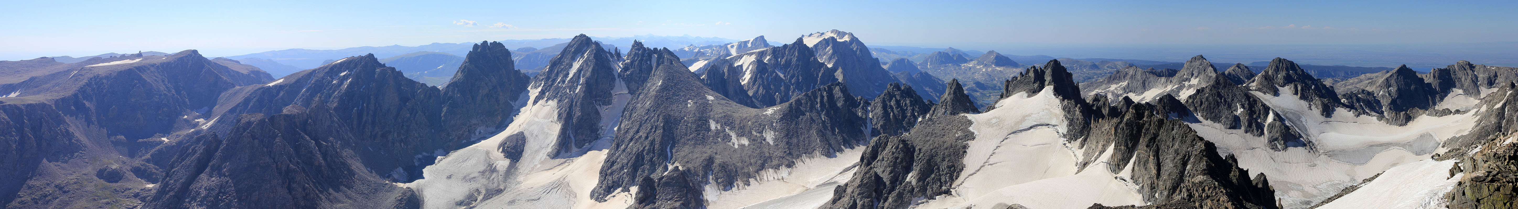
Many interesting peaks around here, some look
harder than others.
A pretty big area up here, the ridge itself
sort of ends, then starts again further across and runs towards the steeper part of the mountain
higher up. We pick our way across and enters this final section fairly far right. There are traces from
climbers that obviously have traversed more directly as well.
As we get to the end of this upper ridge, we catch up with a pretty large party (5-6) including a guide
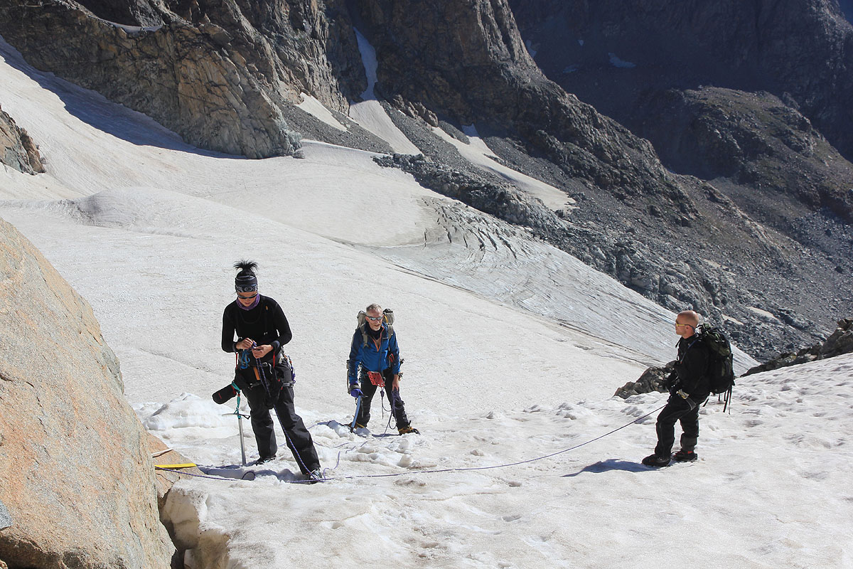
that is preparing to form a rope team. We put on our own harness and rope quickly and start out on the
glacier ahead of the other team. There is a big crevasse going across, we traverse below it. The crux
of the route comes into view. Steepish snow that runs down to the
crevasse, with our more gentle snow below.
No sign of the famous snow bridge. However, there is a pretty clear passage, one can descend
slightly into the crevasse, then make a big step across it. Next, a climbers trail has been established
that follows a small snow ledge climbing
across and up from the crevasse. The snow slope then runs up to easier
terrain higher. A full size rope is already in place, but we have no idea about how securely it has
been anchored. We decide not to use it, but to protect the
lower section with our own deadman. This snow
ascent runs very smoothly and we are soon back up near the rocks.
The fixed rope has been anchored in the snow,
it is hard to see how well this is done. Most likely, the anchor is very good. We decide to use a prusik
on the fixed rope on our descent later. We remove crampons and scramble up the rocky slope gaining a local ridge.
From here, we need to ascend a slope along its left side, that is close to where the ridge runs uphill, this is
pretty straightforward. Higher up, we follow the top ridge closely, but
stick to the snow on its right hand side.
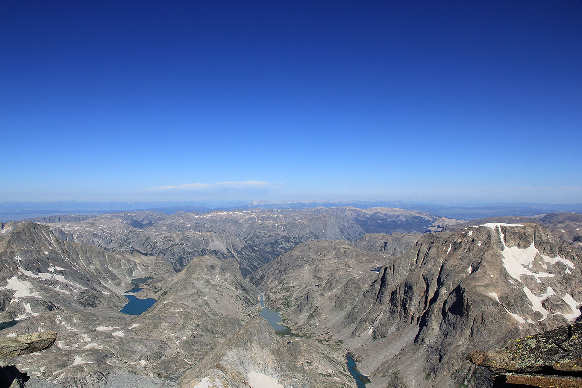
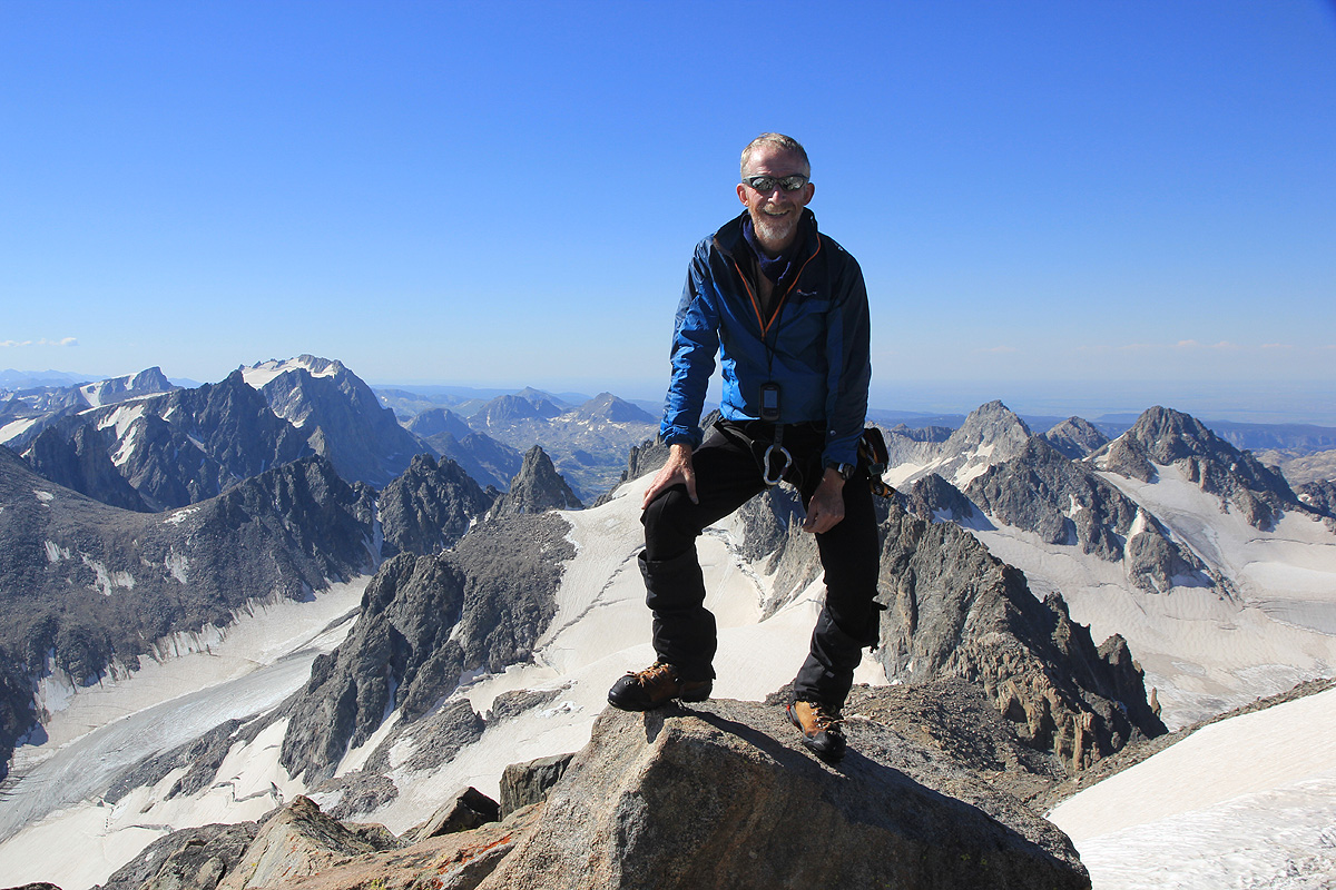
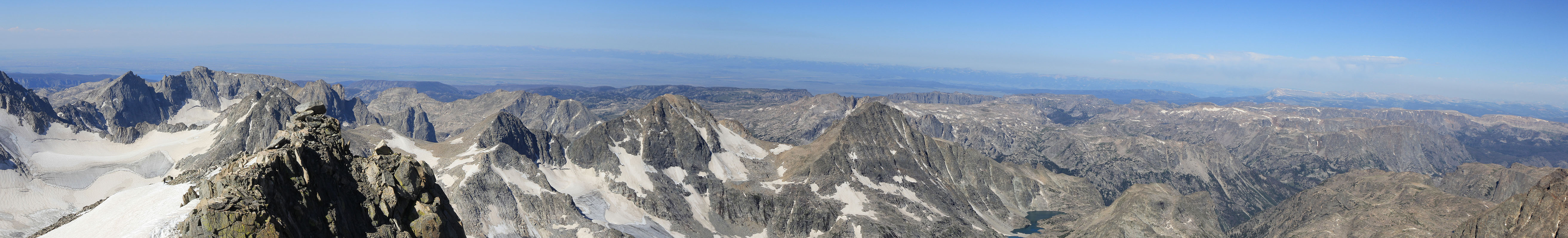
We arrive at the summit at 0955 in absolutely perfect weather. No wind, blue
sky and a fantastic view in all directions.
This peak is plenty steep, its a long way down from here.
After such a long approach, the summit feels perhaps even more special.
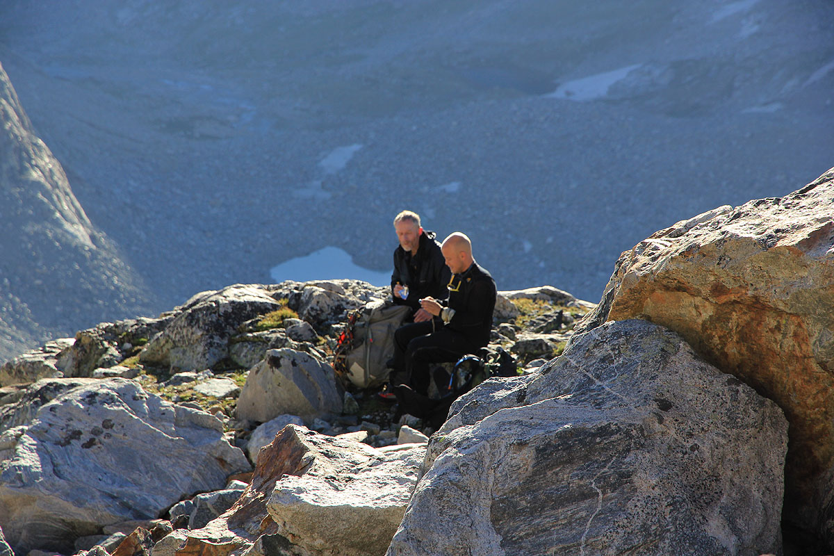
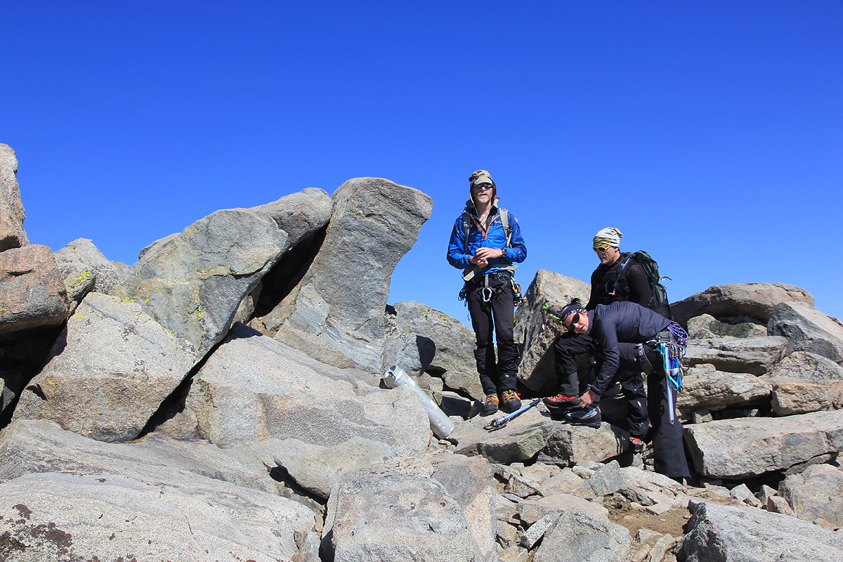
We stay at the summit for quite a while.
We can see our camp, but do not feel
in a hurry to get back down.
After 45 minutes, the team that we overtook just before the steeper snow,
is arriving. We congratulate them and give them the summit (to enjoy) as we
start our descent.
The descent was equally good, we moved back down in a safe and steady way.
Having checked the fixed rope, we used it to
protect against any accidental slide with a prusik. We continued down the ridge and the last snow slope, this time
without crampons. The weather stayed nice and it seemed a pity to leave this place.
We made it back to camp around 1355, a 9 hour effort.
After a good break where
Melanie and Eirik also cook a hot meal, we are ready to start our return hike
around 1600. The alternative, to stay another night aat the same camp was also considered. Rob and I argued
that walking a few hours today would make the return hike a bit easier. The going was quite easy and the
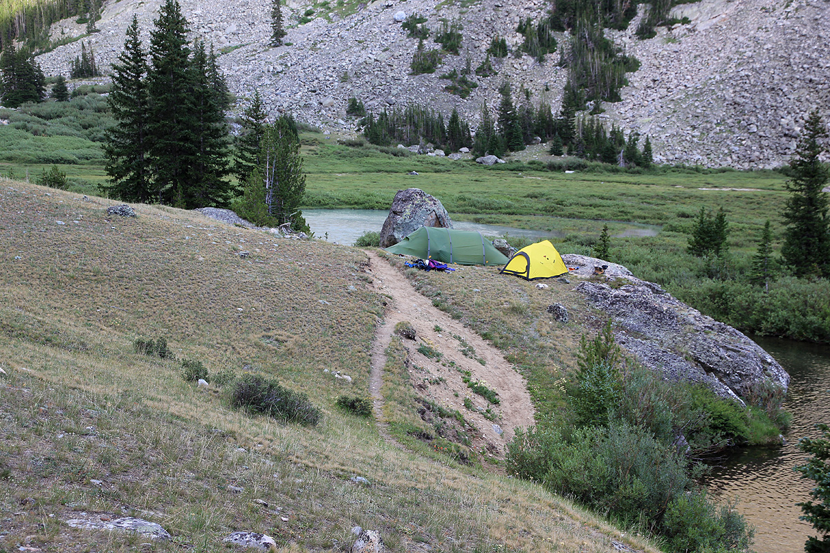
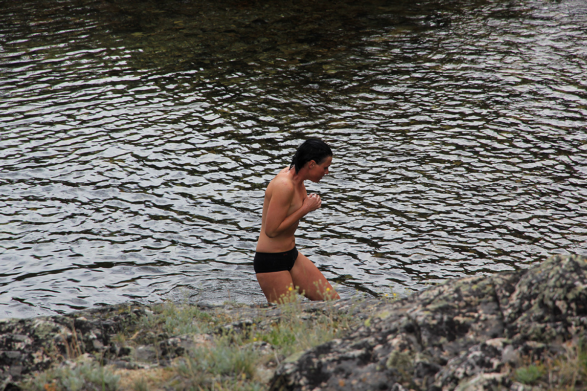
nasty creek crossings all went well. We established camp on a nice local knoll above Dinwoody Creek.
Our camp has a great view back to Gannett Peak,
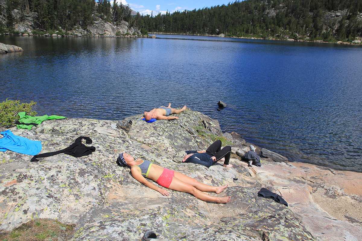
fewer mosquitos and a nice river for a refreshing bath!
The next morning, we are hiking by 0710. Many familiar landmarks shall be noted, we cross the
Big Meadow and take a new rest when crossing Downs Fork.
None of us are looking forward to the big climb
from Honeymoon Creek to Star Lake, it will be mid-day, hot and hard work. However, when this climb actually
starts, Melanie takes the lead and seemingly without expending much effort, we all float up the zig-zag
trail and decide that we have earned a long break at the beautiful Star Lake.
I have already announced that a good goal for today shall be the small creek on the other side of the
major pass above Bomber Basin. It seemed a long way, but now a lot closer.
We pass Double Lake, the uphill
with the burnt trees and have the col in sight. Thus, we all arrive in pretty good shape, at our
last camp by 1610, 9 hours of good effort.
Monday, July 30th. The last day of our Gannett adventure is an easy morning hike back down into
Bomber Basin, then out the valley and down to our car at the trailhead. We leave at 0700 and have a
very pleasant hike that takes 2.5 hours. The next goal has already started to loom big in my
head - The Grand Teton, a peak I first saw about 35 years ago, when Heidi and I made a most
memorable trip to this area. I really looked forward to a second visit.
See also the excellent report by Rob Woodall.