How to get there:
A natural starting point is the resort town of Aspen.
Just north of town, on the main street, there is a new traffic
circle. Go around it and take the last exit (before returning to Aspen), called
Castle Creek Road. Drive up the valley along this road for about 21 km, the dirt road
going right is clearly marked (there is a sign saying "trailhead parking" on the right
immediately before the road starts). (Actually, the main road was closed to traffic at
this point as well, but I guess that was temporary.) The dirt road quickly becomes
a 4WD road, it goes all the way to 3900 m, but there is good parking around the
second creek crossing at about 3350 m.
We parked there in order to make the climb
have a reasonable gain of elevation. Route description:
First, continue hiking up the road as it climbs an obvious valley heading northwest.
When the valley ends you face a clear basin going southwest with a large snowfield.
Castle Peak is visible in the distance. Hike up the first snowfield, then find a clear
trail that climbs left to the northeast ridge of Castle Peak. After reaching the ridge
continue along or slightly to the side of the crest to the summit. There is a clear
trail and only very limited, easy scramble in isolated spots. We continued across
to Conundrum in order to make a nice "Tour de Castle", see the entry there for
a description of our return route. Comments:
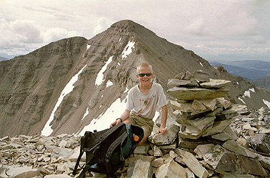
I did this climb with Pål Jørgen, age 12. This was his fourteener number
40 and the last one before his return to Norway. He started climbing after arriving
in Colorado in August 2000, we both think 40 is a good number in about 11 months.
We started from the Jeep around 0710, summited after 2 hours and 20 minutes, continued
to the summit of Conundrum at 1010 and were back at the Jeep at 1140, 4.5 hours in total.
The view was good and we had sunshine on both summits.
Resources:
Images
In Montezuma's Basin Castle Peak can be seen
in sunshine up to the left. Conundrum Peak is off
to the right. The route goes up the leftmost snowfield.