Location: North 13.31505, East 038.25240 (GPS at the summit)
Difficulty: YDS class 2
Climbed February 27. 2019.
Information:
How to get there:
See the description for Inatye. Route description:
One may ascend directly up from our camp area, or coming from the
saddle towards Silki, a short and gentle ascent.
Comments:
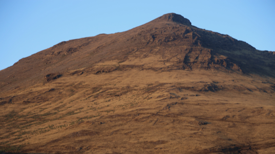
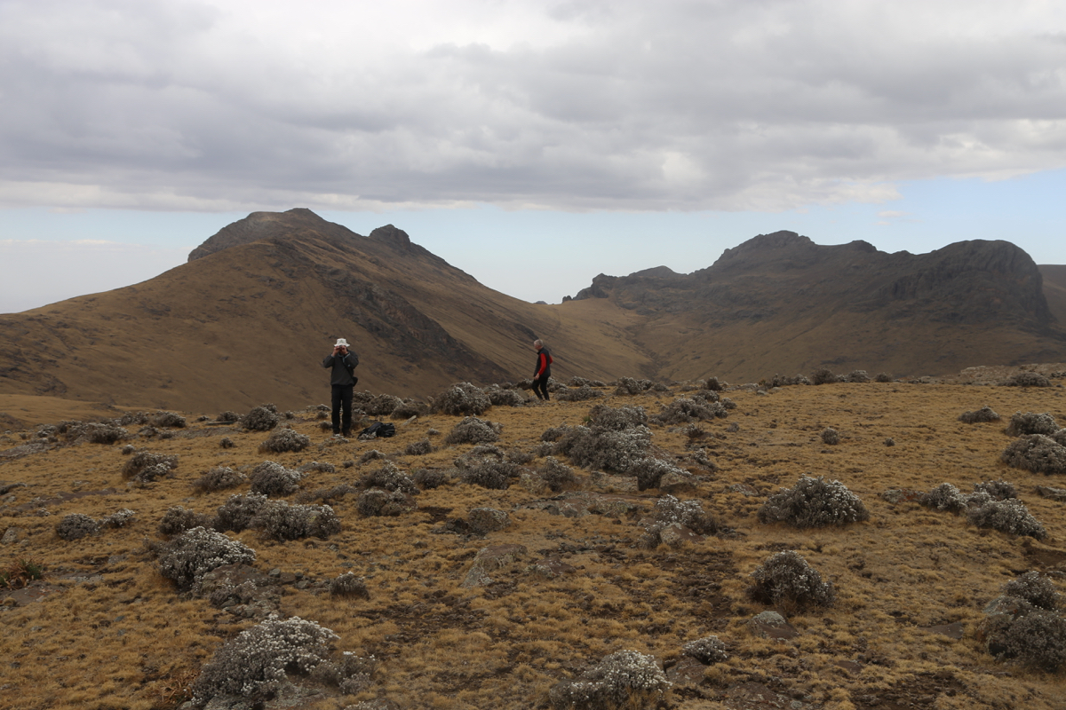
This was our final peak in the Simien mountains. We had been trekking for
6 days and seen a good mix of peaks, landscapes and local, high altitude
farming.
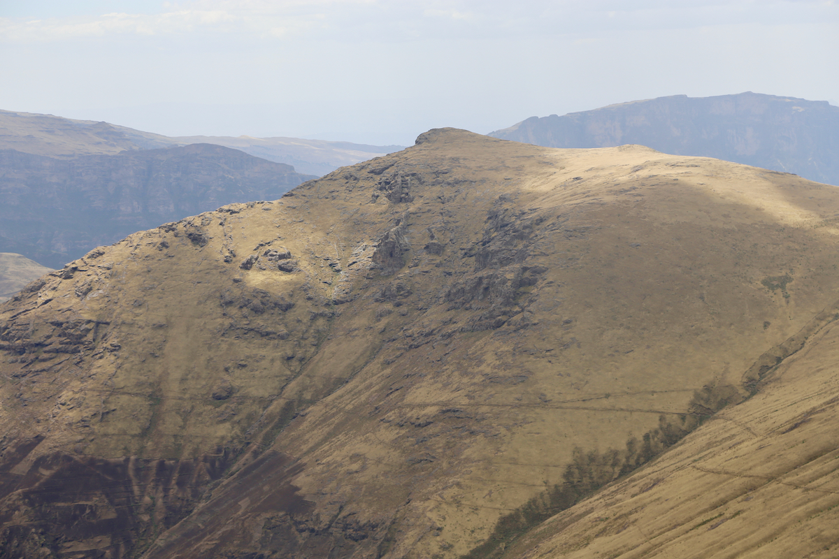
We descended from the peak East of Silki, the same way
as Denise and I had ascended. We next followed a clear trail that traversed (left) towards
the saddle that separates Beroch Wuha from Silki. However, the general opinion was that
this trail descended a bit too much, thus we left the trail and stayed a bit higher. The
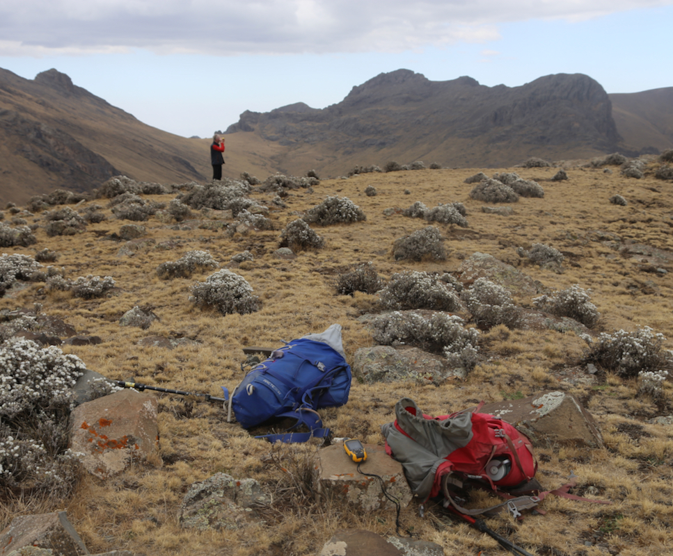
terrain was easy to hike anyway. After a short rest near the saddle, we soon arrived on
the top of Beroch Wuha. There are two points of (near) identical elevation. A rock
outcrop somewhat left (when coming from the saddle)
or a flat area with some smaller
scattered rocks.
We enjoyed the view back down to camp as well as good weather on this, our last
summit of the day and also of our 2-week trip. The descent was easy and we returned back
to the tents around 1715, roughly 9 hours after we left with Silki as our first and
primary goal.