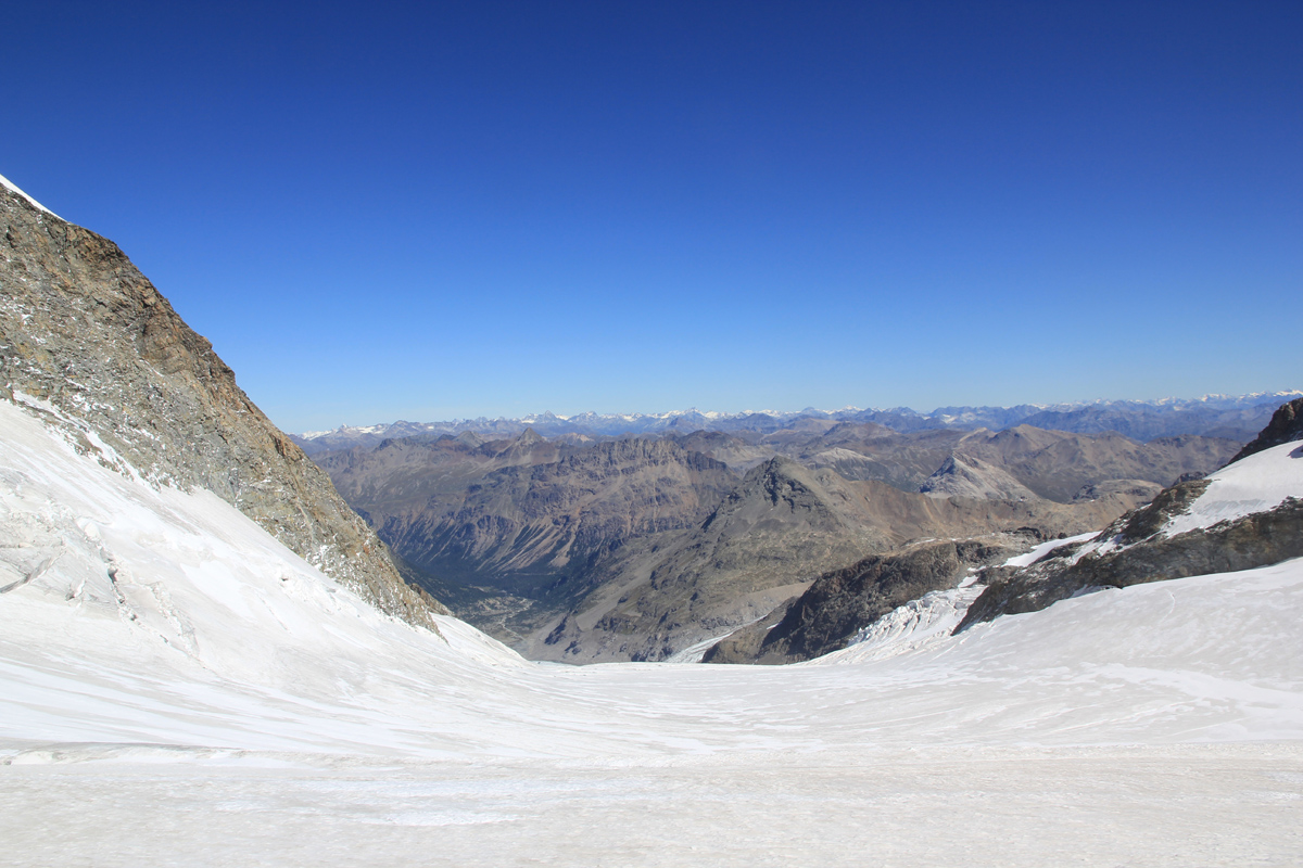
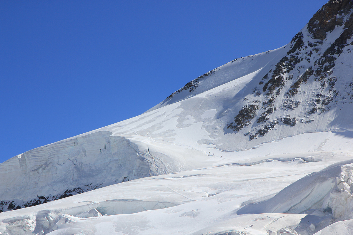
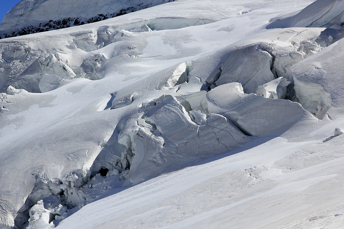
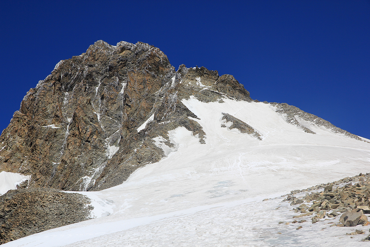
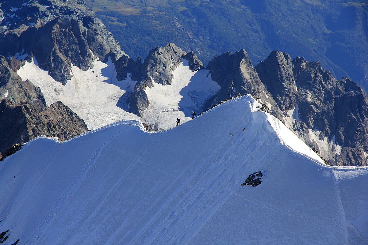
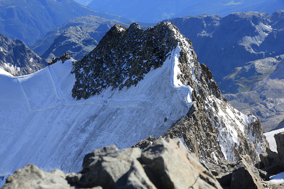
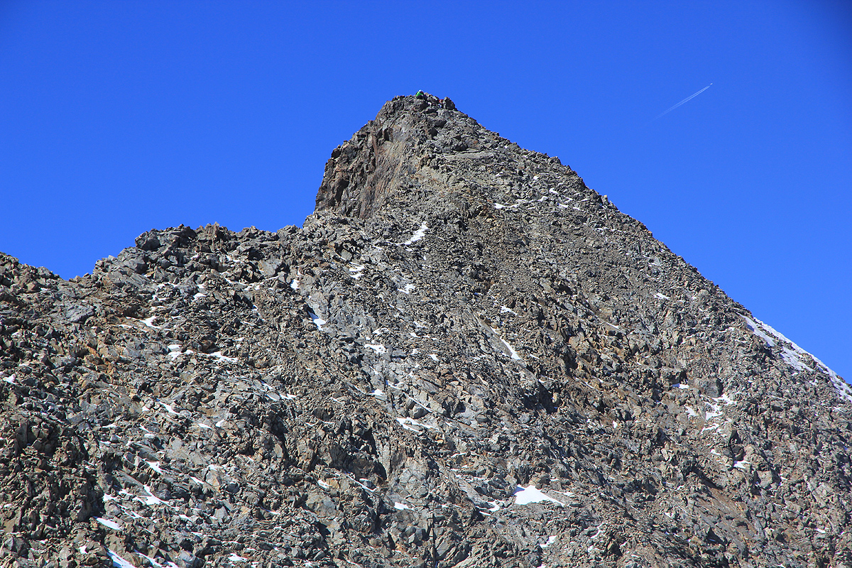
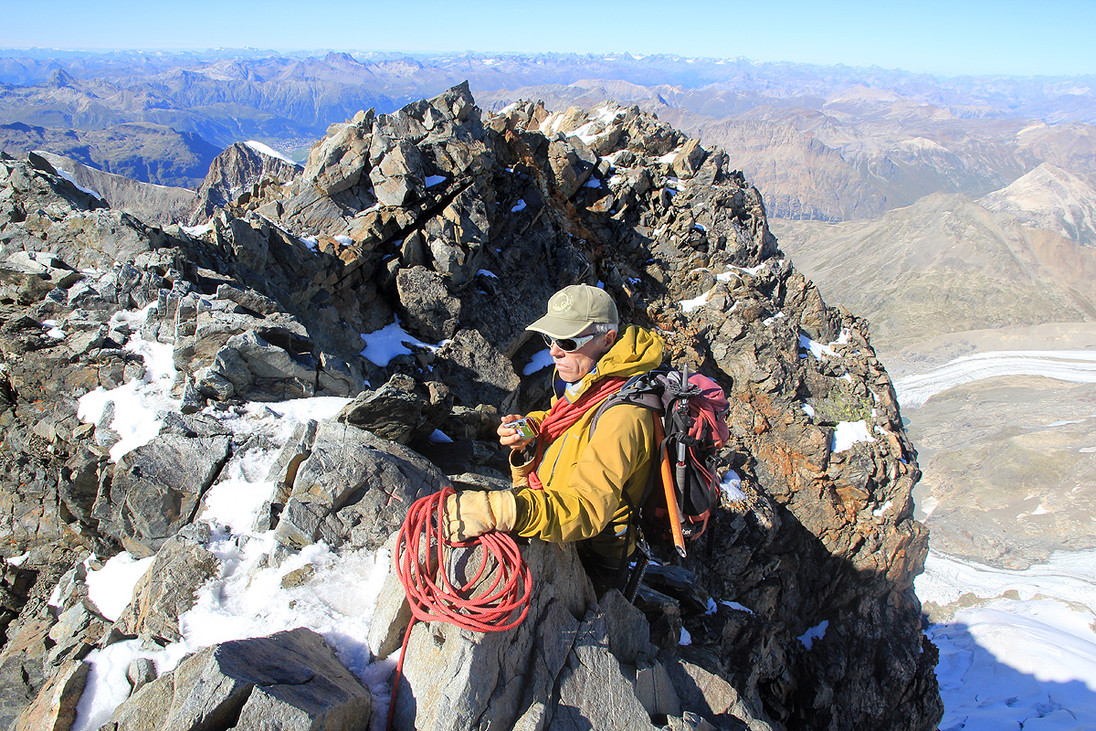
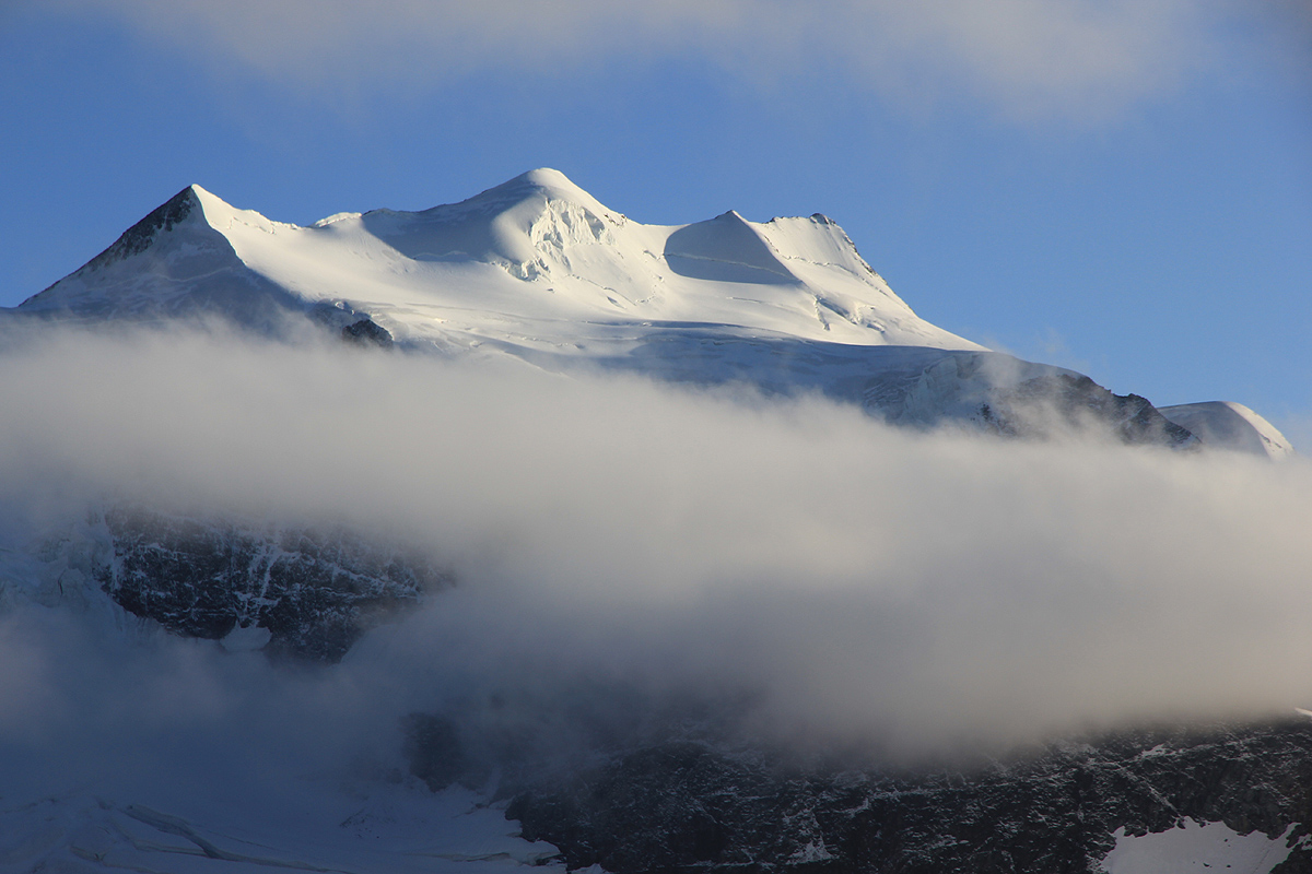
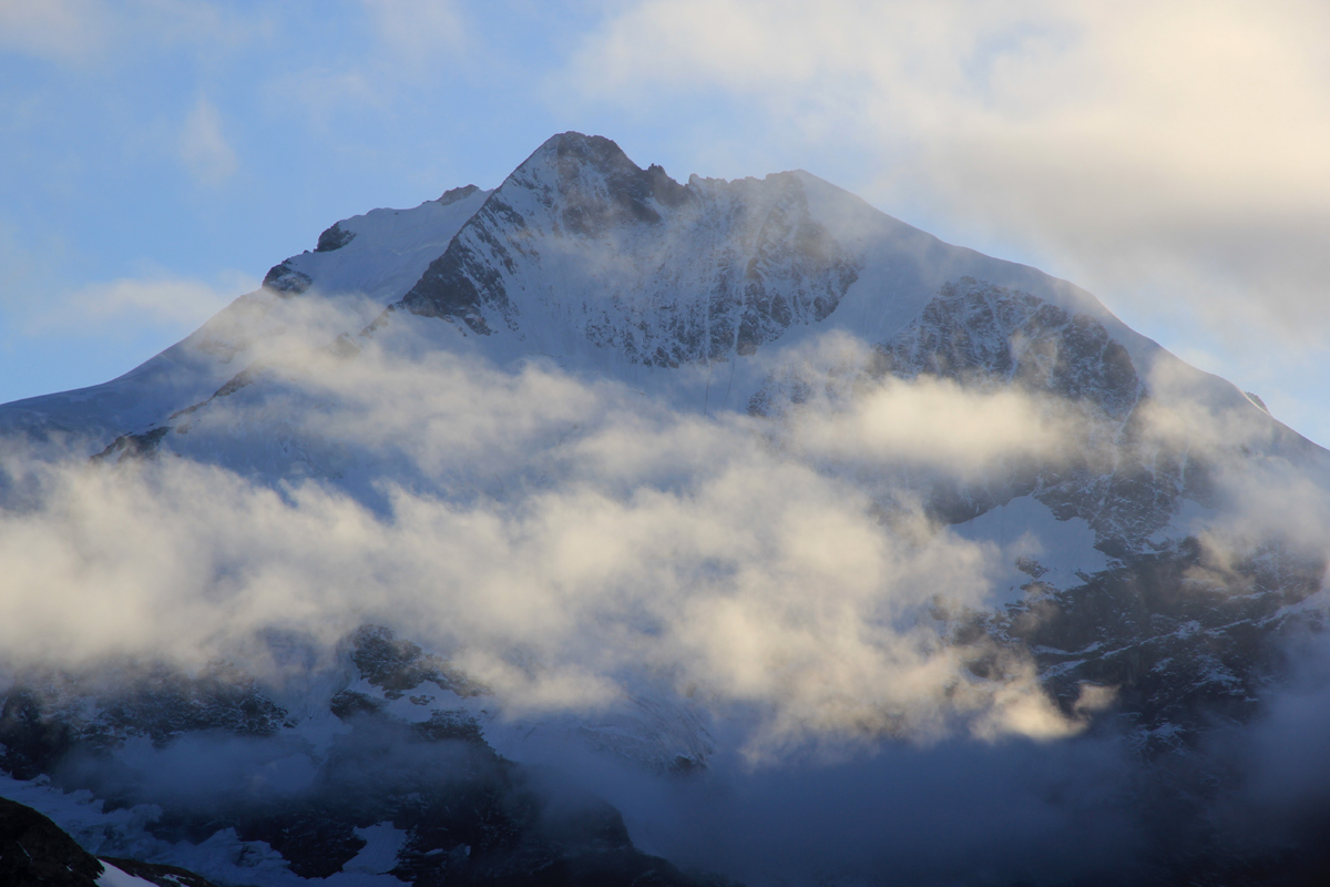
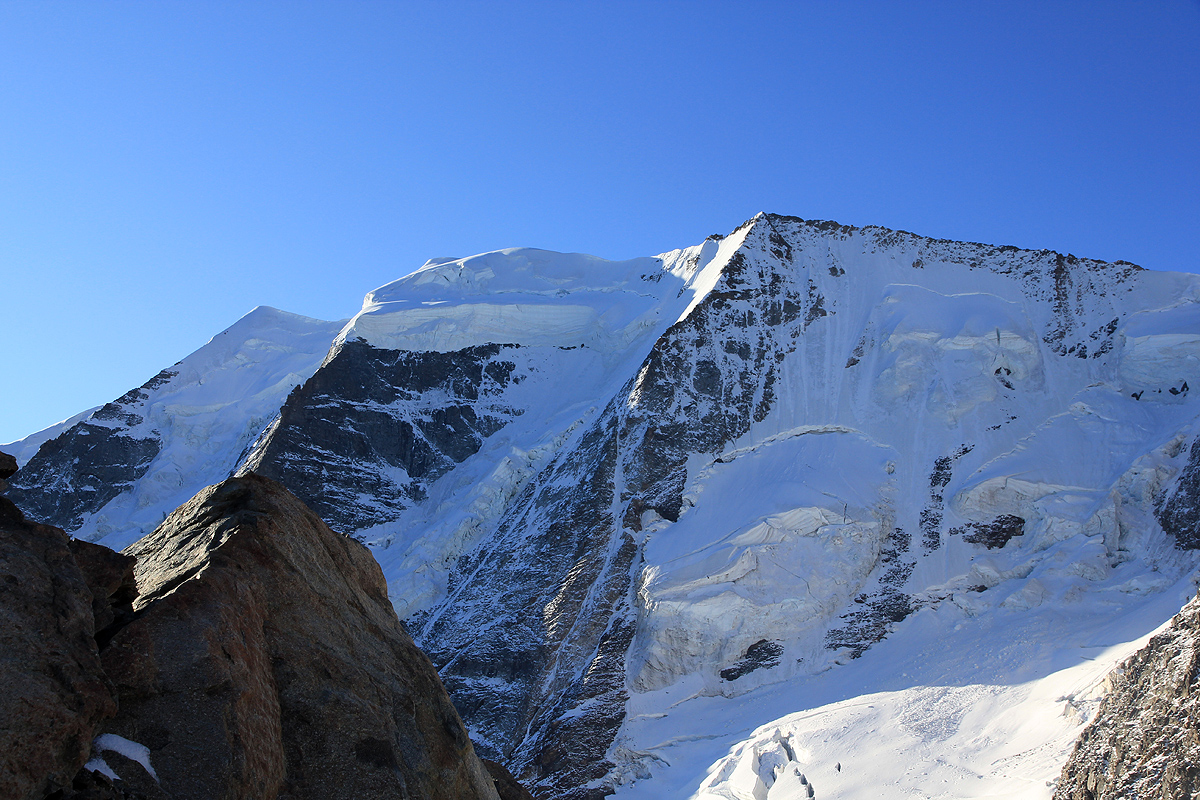
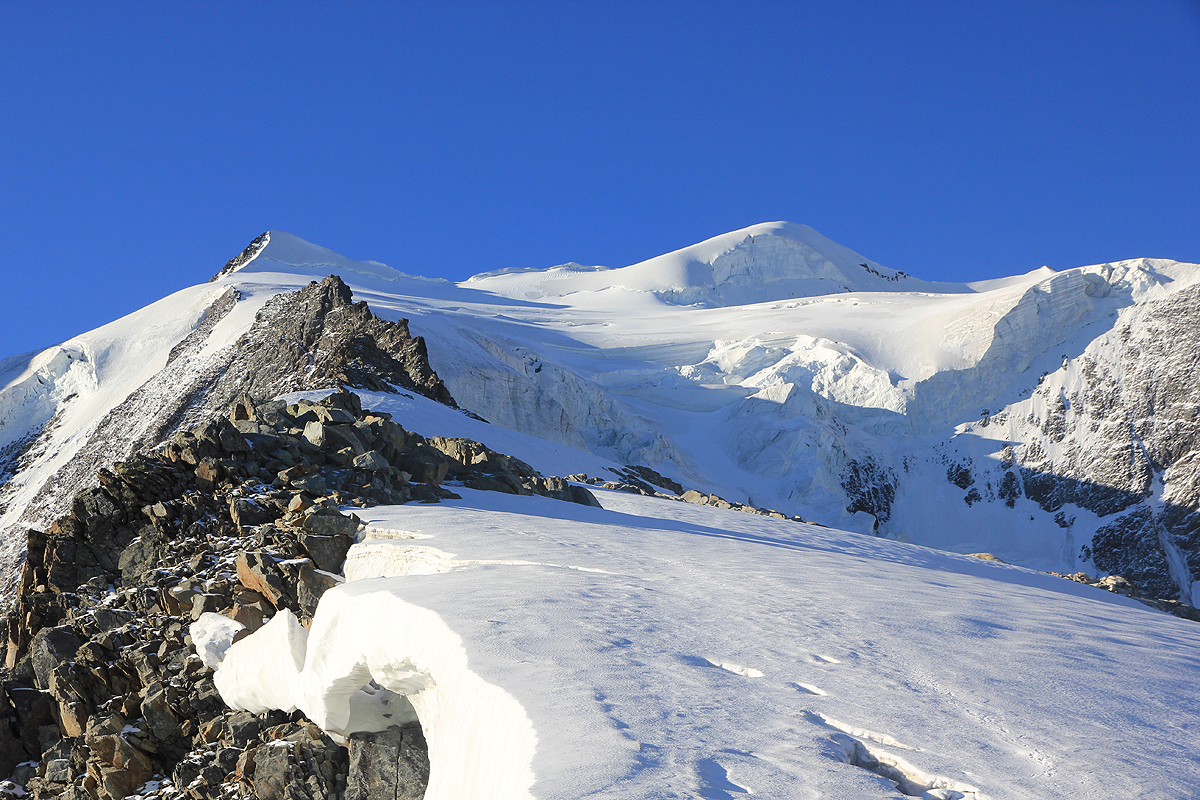
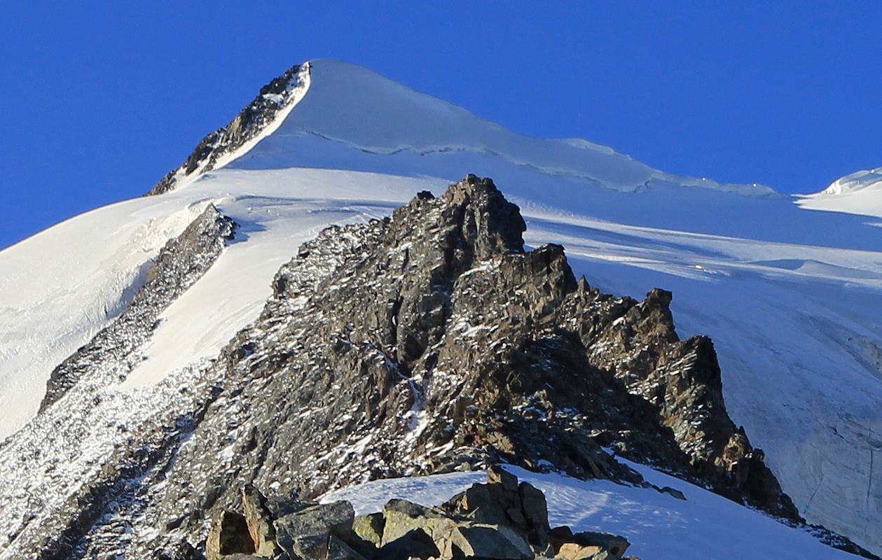
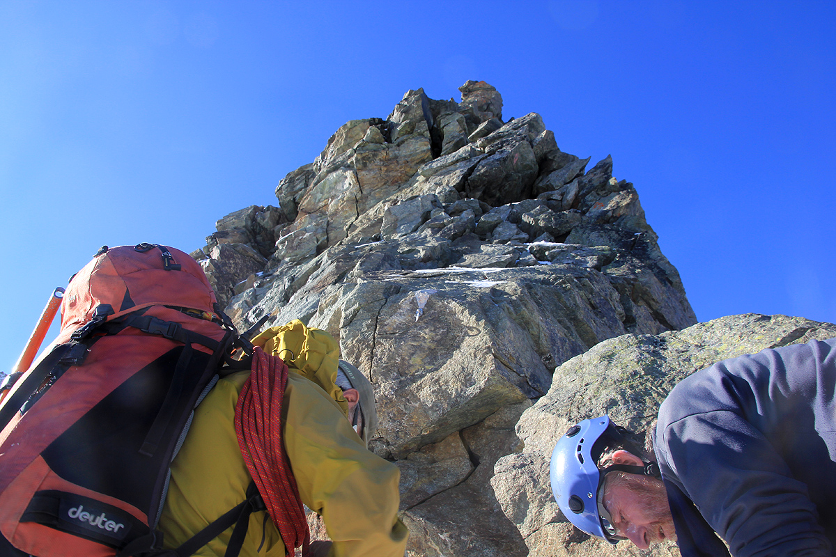
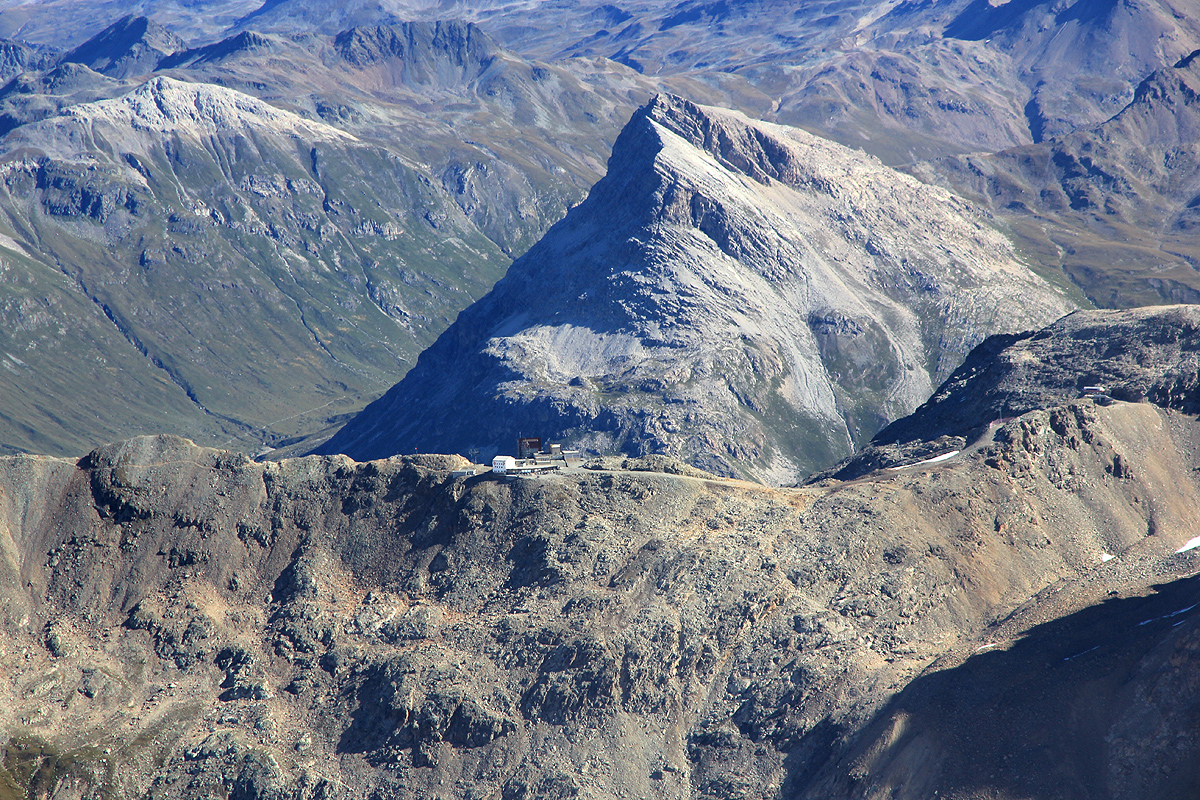
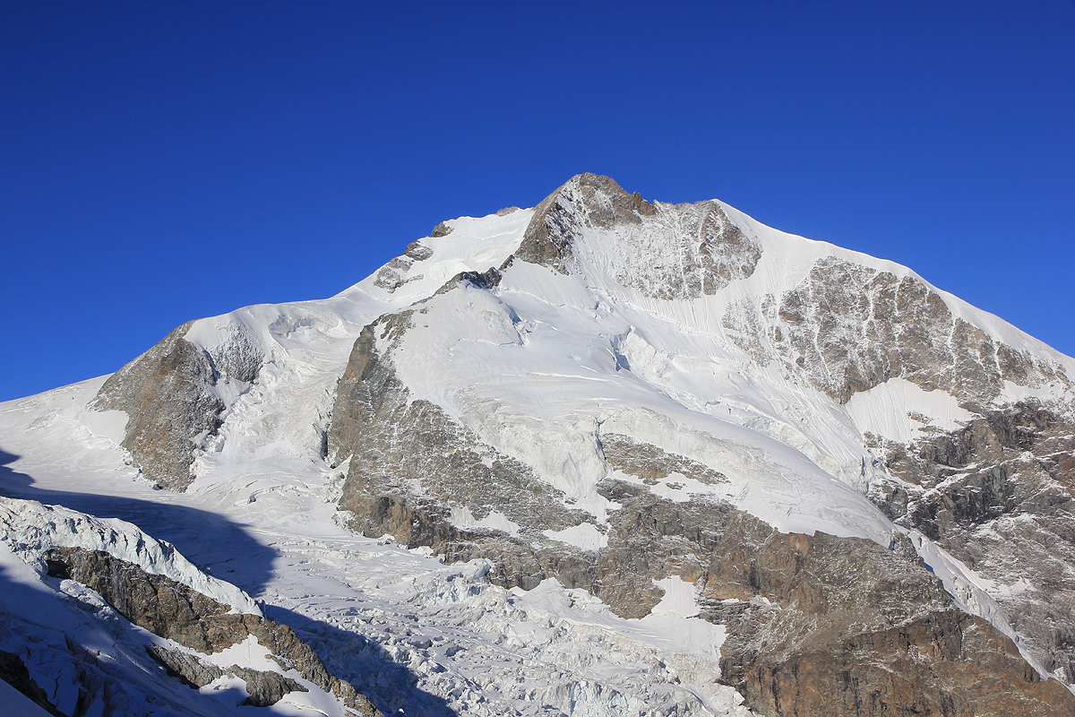
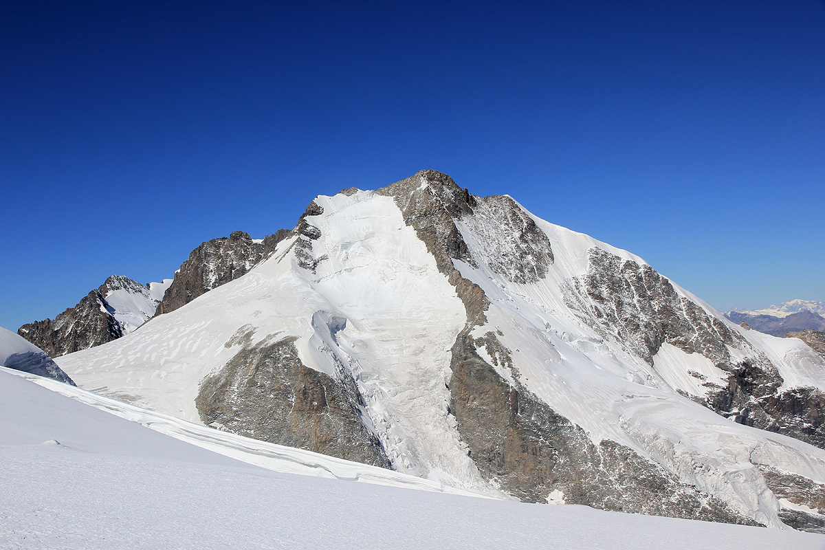
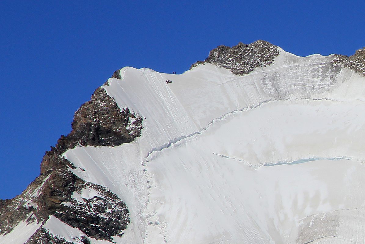
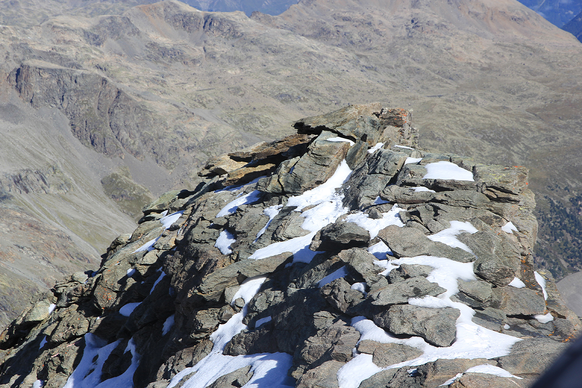
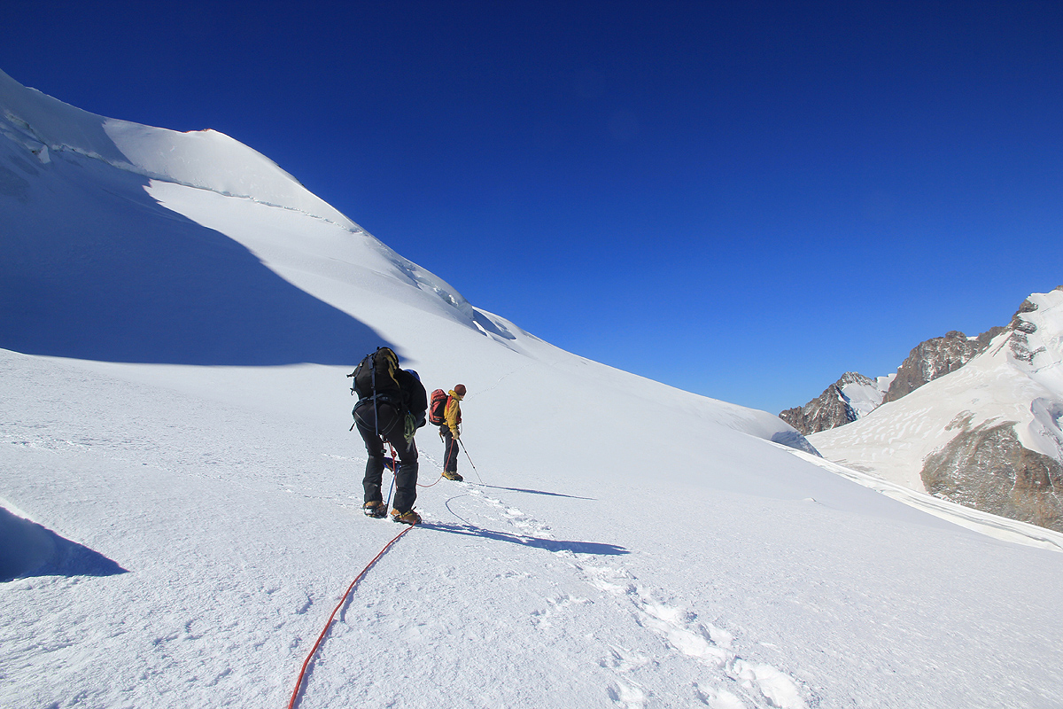
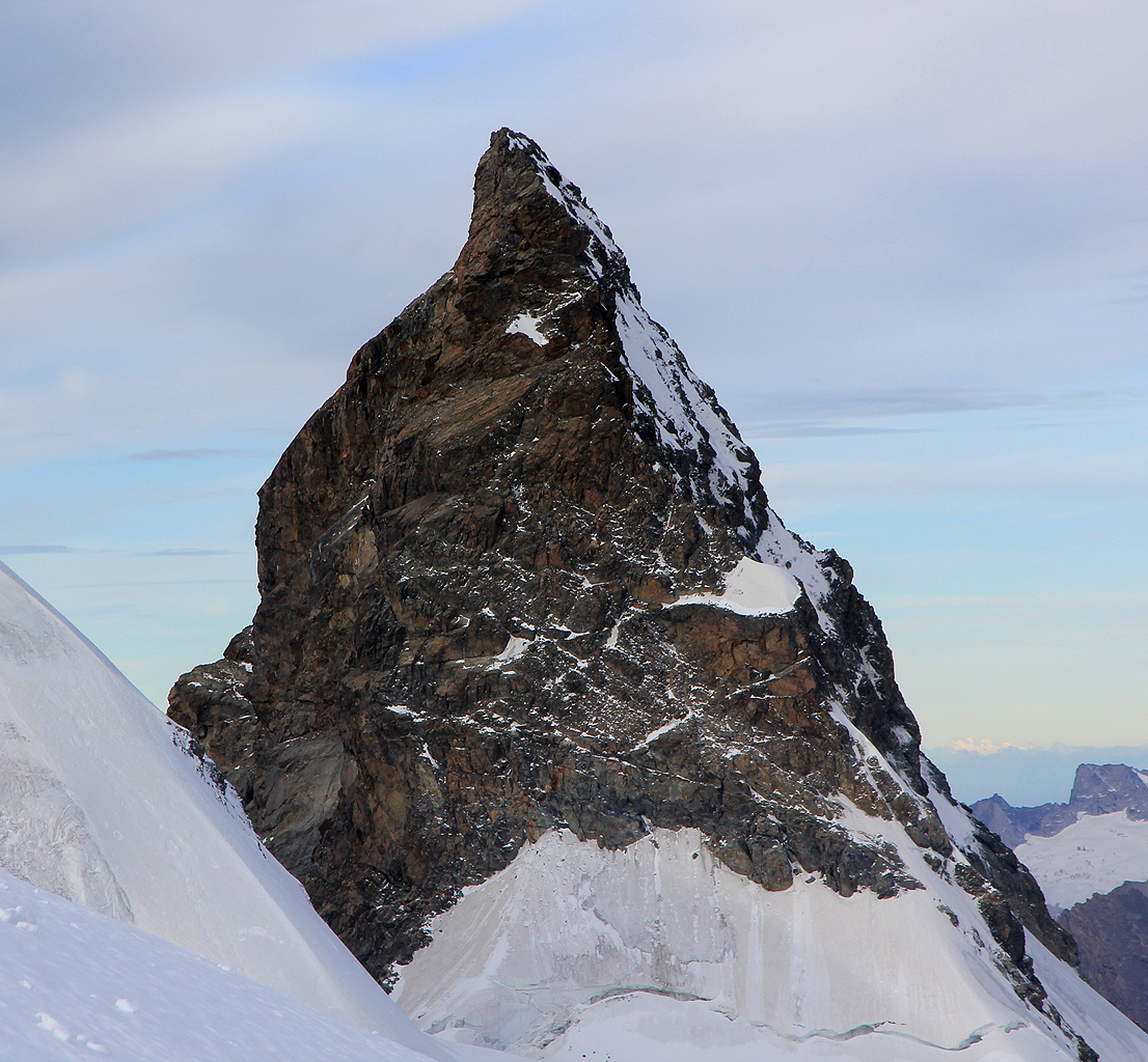
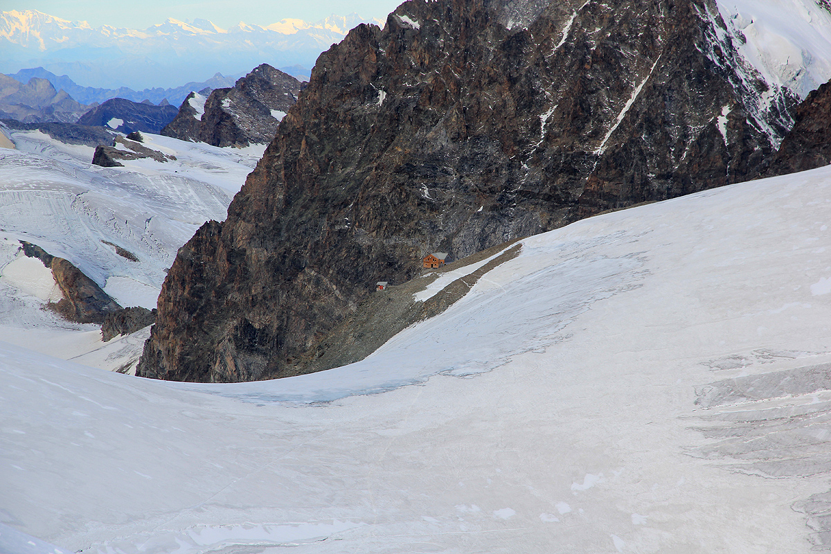
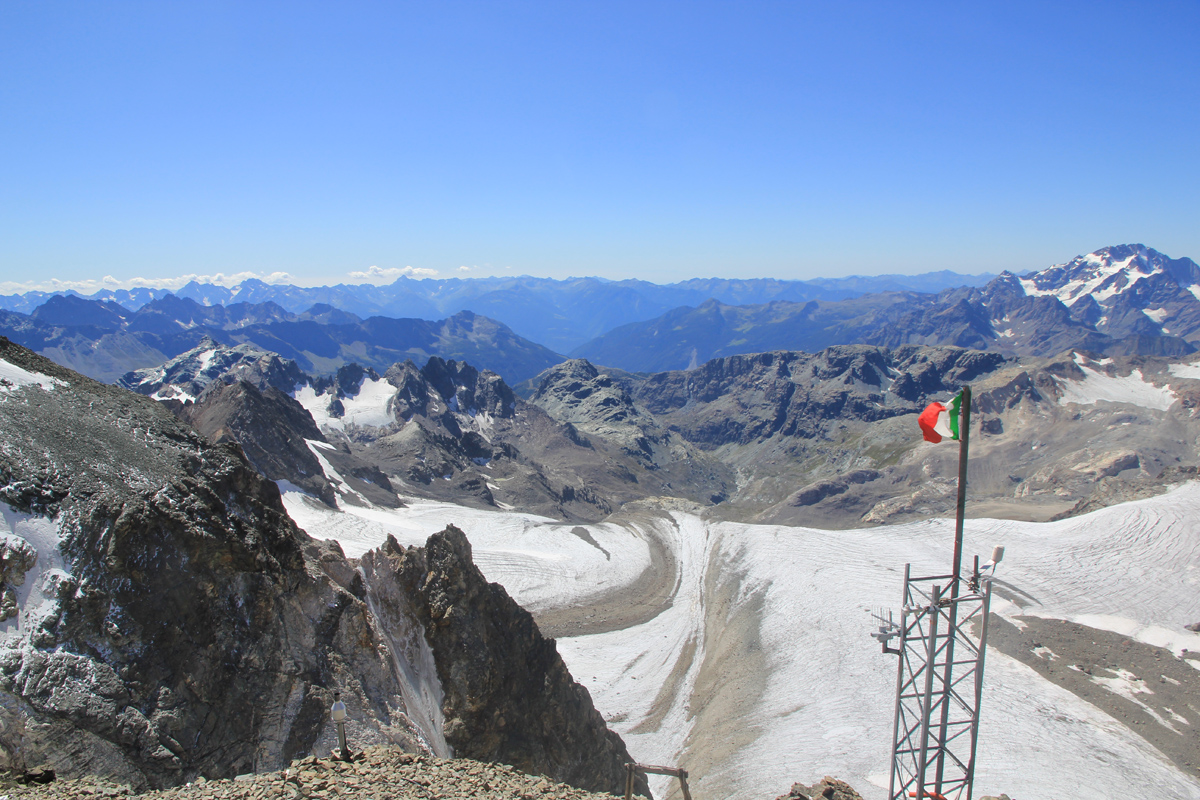
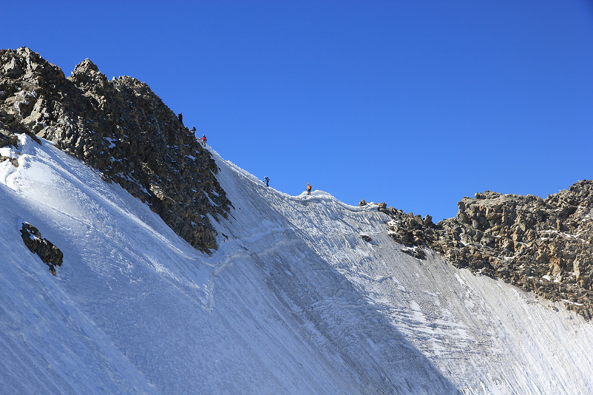
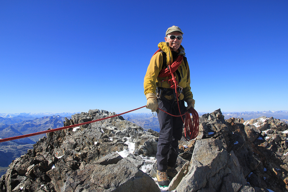
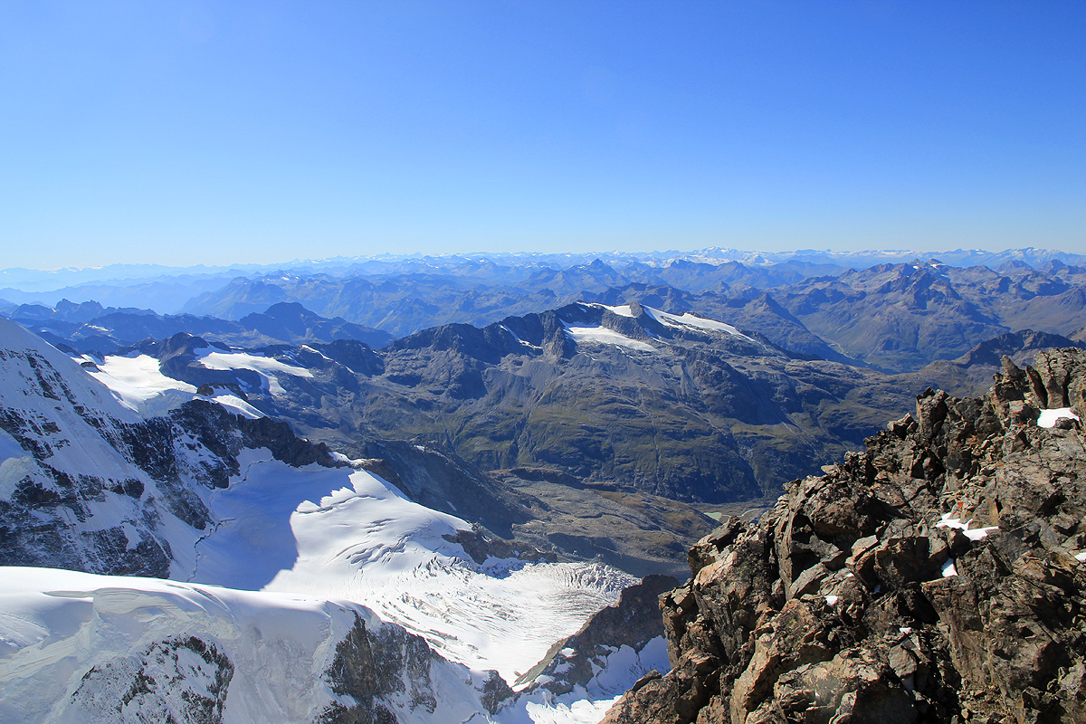
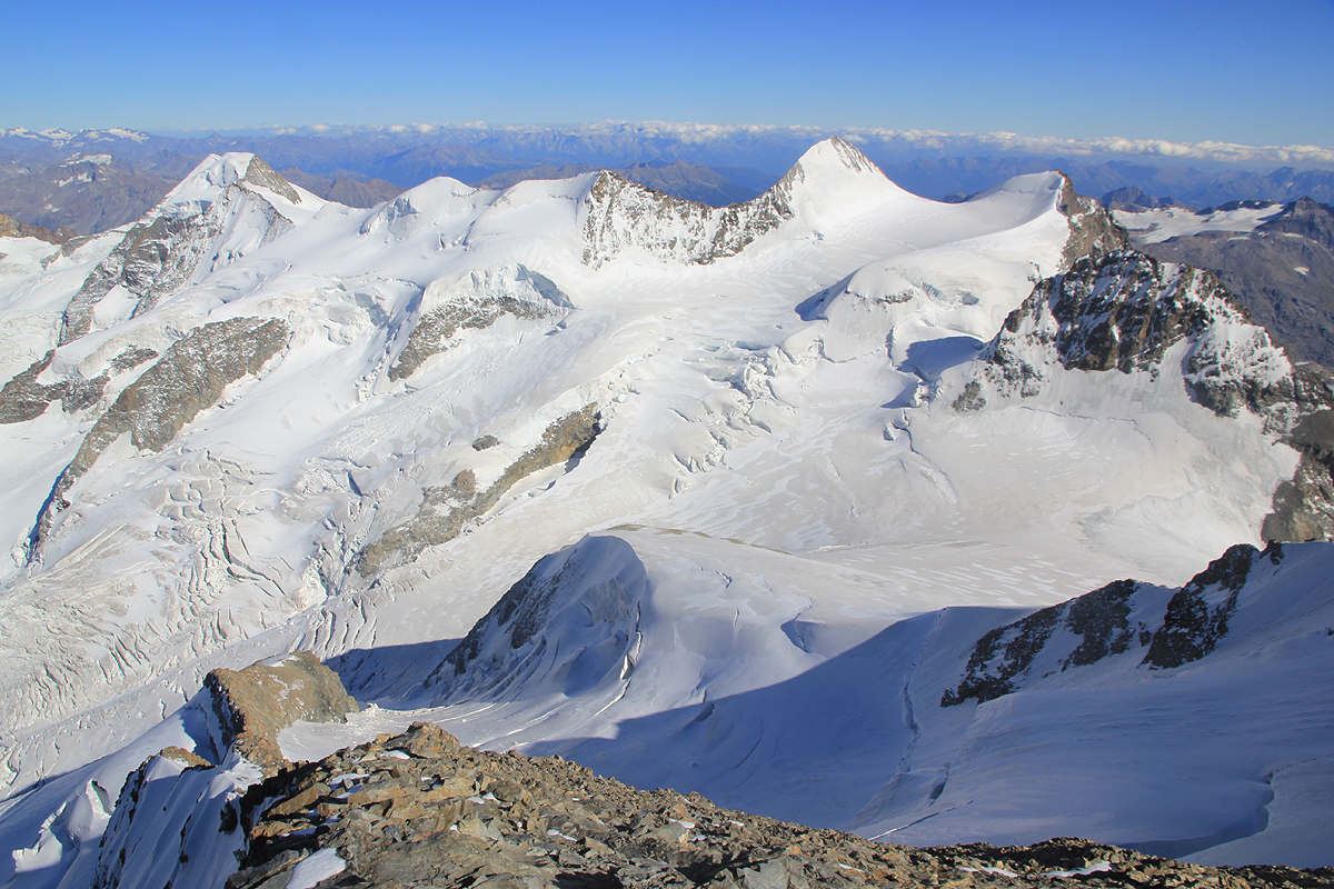
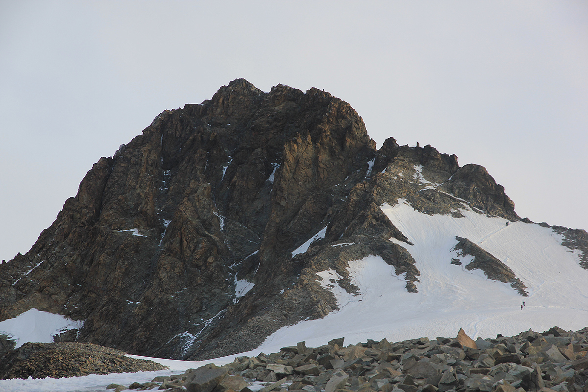
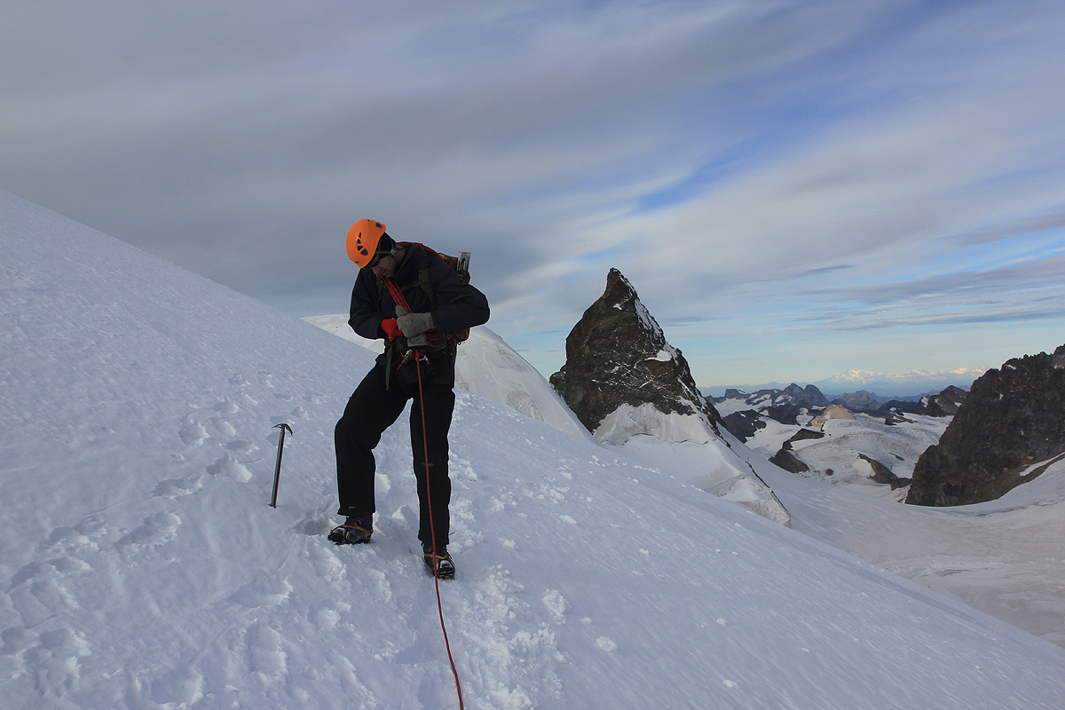
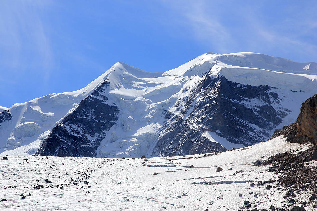
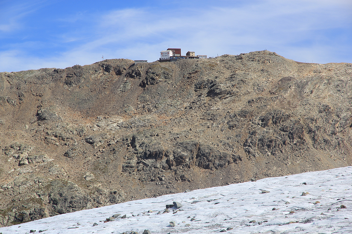
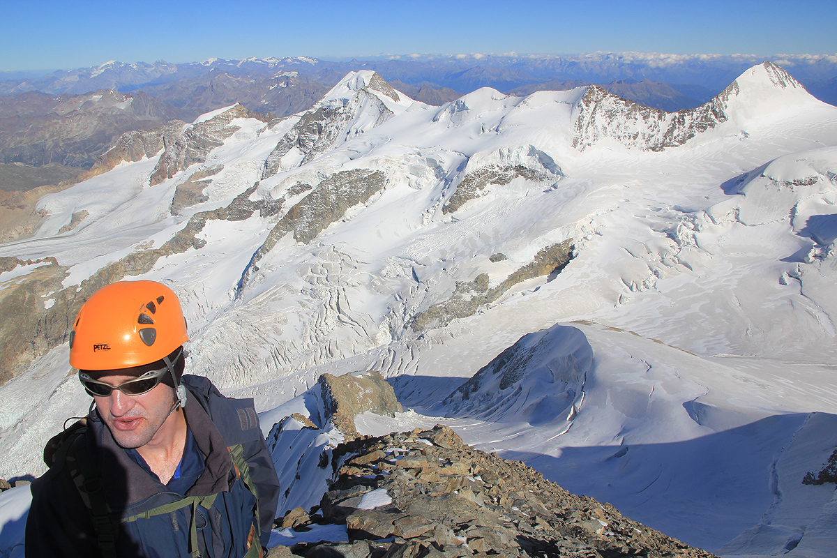
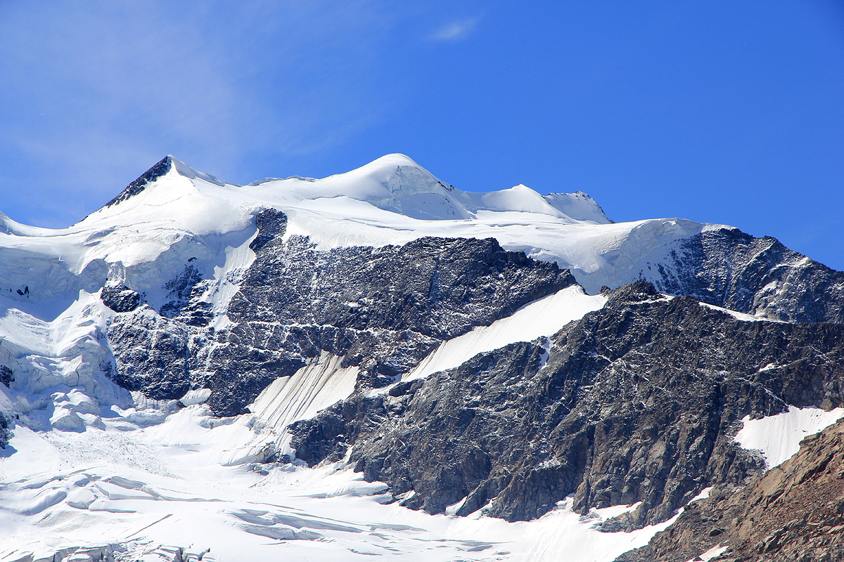
Piz Bernina

  • Piz Bernina
  • 4049 m
  • Primary factor 2234 m
  • Location: North 46:22.944, East 009:54.482 (GPS on the summit)
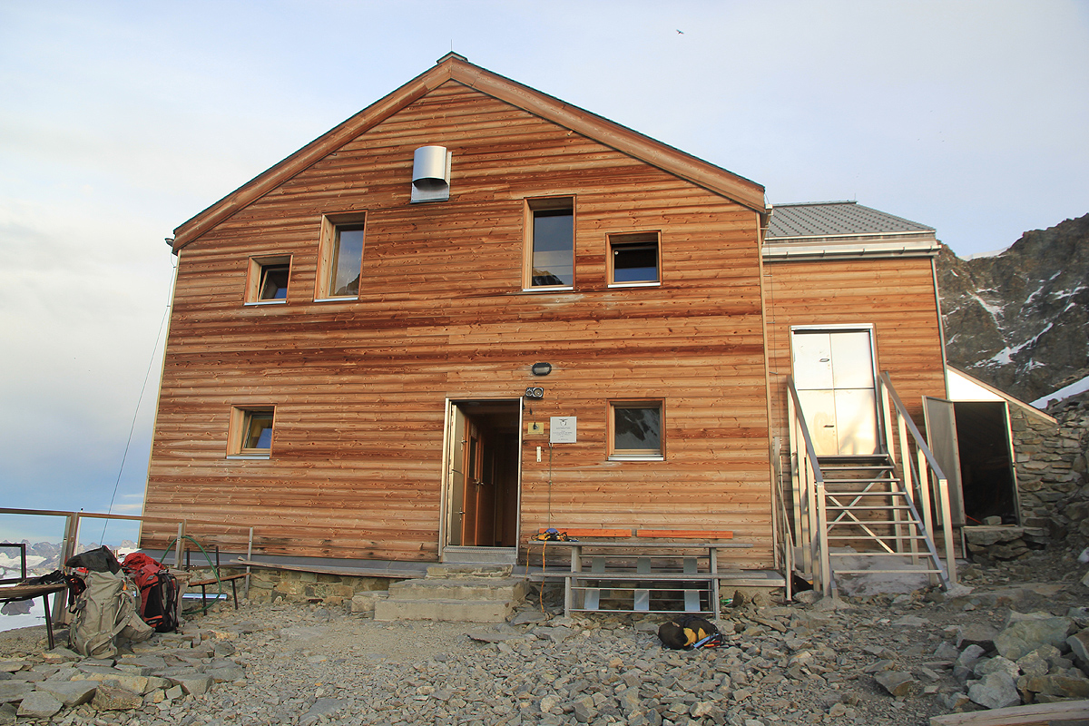
  • Location: Near Pontresina, Eastern Switzerland, on the Swiss/Italy border.
  • Climbed August 28, 2011.
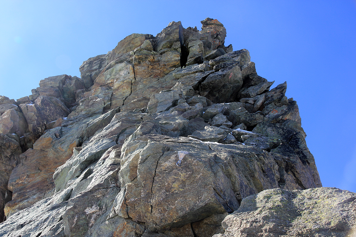
  • Difficulty: YDS class 5.1, UIAA III, French Alpine PD+

Information:

How to get there:
This mountain is located near the Swiss village of Pontresina, which again is quite near the more famous village of St. Moritz. One can drive here for example from Zürich. From Pontresina, continue up the valley to a large parking area serving the gondola lift to Diavolezza. This location is N46:26.516, E009:58.925, elevation about 2090 meter.
One should note that there are a few other routes to Bernina. The very famous, but more difficult Bianco Grat (White Ridge), and an alternative route starting at a lower elevation in Italy, but ascending more directly to the Marco e Rosa hut. This report will only describe the route from Diavolezza.
Route description:
From the parking, take the gondola lift to the private hut Diavolezza. This gondola generally runs every half hour in the season. This hut offers excellent food and service, reservations are strongly recommended.
The hut is located at N46:24.714, E009:57.898, with an elevation of 2970 meter.
From Diavolezza to Marco e Rosa:
The trail starts right outside the hut and goes a little left to a fork. Go right here, the left trail serves a via ferrata route. There is a clear sign at this location. Descend the slope along this trail, if you spot a left fork a bit further down, then take it, - this trail is shorter and more direct.
Either way, you descend about 350 vertical meter to the moraine that borders the Pers glacier. There seems to be two options with respect to crossing the Pers glacier. We tried both and had some (slight) problems either way. The first variant crosses Pers while going south, in order to arrive under the slopes of the mountain named Vadret da la Fortezza around countour 2930 meter. On this route, we ran into lots of crevasses that required some careful zig-zag routes, balancing on narrow ice edges as well as some relatively easy climbing across a few crevasses. It is possible that this approach is easier if one cross more west at first, then turn more south when near the opposite side. In any case, one should arrive near location N46:23.627, E009:56.915. From here, follow an easy and natural route that heads uphill among rocks, gradually turning more right before reaching the crest.
The alternative is to cross the Pers glacier more directly west and access the opposite side nearer to the 2700 meter contour. There is supposed to be a cairned route here that will cross (ascend) Vadret da la Fortezza going south, the last part on snow. We did not find the cairns (on our return hike), and negotiated loose rocks and icy patches in order to descend to the Pers glacier.
In either case, follow the crest/ridge south as it becomes more distinct and you will see the rock ridge Fortezza rise ahead of you. This ridge must be climbed in order to access the higher glacier, Bella Vista Terasse. First, the route bypasses the first rocks on your left (east) along a very natural ledge. Next, you ascend to the base of Fortezza. Here, one needs to climb. The route heads straight up the first few slabs, then swings around (exposed) on the right side in order to gain the main ridge a bit higher. Higher up, there is a move around on the left side (more exposed), that ends in a crack before gaining the top ridge again. There are red markers as well as fixed rings and bolts that can be used for belay. There may be some snow and ice on the route and this is definitely a place where one should be careful. I would rate the hardest move at UIAA III, it is definitely harder that most UIAA II routes that I have been climbing in the Alps. Mostly, the climbing is substantially easier as the route descends a bit on the right (west) side, before again ascending to the top ridge as it tops out and connects nicely with the glacier above.
Ascend this very gentle glacier towards the Bella Vista summits. Higher up, the route turns right avoiding a large crevasse and continues a gradual ascent while traversing the so-called Bella Vista Terasse. This is a very elegant glacier route.
As this traverse reaches its highest point, the impressive Crast Agüzza, 3869 meter, comes into view. The next section of the route descends down to the main glacier that falls down the valley on your right. Initially, you move down a big ramp having a vertical ice wall on your right. Further down, you need to follow a route that avoids some huge crevasses. Most likely, it is best to descend fairly straight down, thus loosing significant elevation. Once you are all the way down, the subsequent ascent to get back to the main col (Fuorcla Crast'Agüzza), is relatively easy and there are few crevasses. Next, traverse across to the refugio, Marco e Rosa at about 3609 meter. It is recommended to make reservations here, phone +39-0342-515370 (July to September). The hut has a self serve section that may be used outside of the main season. There is a large Czech Wolfdog that stays at the hut. This is one of the largest dogs I have ever seen.
To the summit:
From the Marco e Rosa hut, head uphill on the snow/glacier directly towards Bernina that towers above you. Higher up, the snow slope gets steeper and the last section from where you access the rocks is about 40 degrees. From here, the rock climbing begins, initially slightly left, then more directly up. There are bolts for belaying and most of the climbing is hard UIAA II, perhaps a few UIAA III moves. (YDS class 4, sometimes low class 5). Higher up, the steepness eases before a short ridge brings you to a new, steep rock step. Climb this, nearly vertical, but with pretty good holds (UIAA III, YDS class 5.0-5.2). These two steps will typically require (two) rappells on descent. Next, starts a knife edge snow ridge (looking back) that climbs towards a section with several rock humps on the ridge. After this rock section, another narrow snow ridge (looking back) that first descends, next climbs connects you with the final rock section to the summit. This rock part is very narrow initially, but gradually one may move onto a broader area and finish the scramble to the summit.
Most current guidebooks describe fixed ropes on the climbing pitches. No such rope could be seen. Also, the climbing is generally steeper (more vertical) than the UIAA II grade the books often mention. The (steepest) climbing is UIAA III, corresponding to YDS 5.0-5.2. The holds are generally good.
Comments / Trip Report:
Rob had planned this trip for almost a year and already in the winter/spring I told him that I was interested in joining. I had tried to climb Bernina back in 1996, but bad weather changed the plans and I ascended Piz Palü instead. Not a bad substitute, as Piz Palü is known as a beautiful mountain. Rob and Andrew actually planned a full week of climbs in the Alps and had signed up Dave (a certified guide) to come along.
We came from different directions and all converged to the parking at the base of the Diavolezza gondola lift about half an hour before the last run on Saturday, August 27.
The weather looked like on an improving trend. Before sunset, the clouds were breaking and we could see Piz Palü as well as the Pers glacier far below and the Bella Vista peaks where we would traverse tomorrow. Naturally, what really captured our attention was Bernina herself, looking fairly inaccessible with all this complex terrain between us. Excellent dinner and early to bed. We agreed to get up around 0400, have breakfast and hike down to the glacier before dawn. Thus, we left shortly after 0500. Our plan worked well, but half way up the glacier we ran into increasingly more complex crevasse terrain. The sun had come up on a cloudless sky. A fairytale glaciated landscape all around. We zig-zag-ed and climbed and balanced, this took quite some time, before reaching tha far side at a location where we could easily ascend the rock and get up to the main crest below the ridge Fortezza.
This ridge looks quite intimidating, but is somewhat easier than it looks. There are fairly exposed moves, but the rock is good and most all seems pretty solid. Still, this type of climbing takes time with 4 people on a single rope. We generally moved together, with Dave ahead making some stationary belays, while we clipped by the various bolts, rings and (short) metal poles that had been placed to protect the route. We were now higher than Diavolezza and as it looked more distant, Bernina already looked closer.
However, Bernina still looked quite serious as we studied the route and spotted some tiny climbers on the mountain. Emerging off the flat top of the ridge, we had an easy glacier walk across the Bella Vista Terasse. The descent back down to the next major (valley) glacier was easy, but in spectacular terrain and ice formations. When it first appears, Crast'Agüzza, really resembles a smaller copy of Matterhorn. There are huge crevasses, but route finding (in good weather) is relatively straightforward. We all remarked upon the fact that we lost quite a bit of elevation that subsequently would have to be regained in order to reach the Marco e Rosa hut. We arrived at the hut shortly after 1200, noon. I had not been feeling in top shape, my stomach/head ache from the week before (after returning from Romania) did still bother me. Still, the weather was so nice that it made sense to try for the summit today. I asked for a major rest and suggested that we should try to leave around 1330. The hut would serve dinner at 1900 and we should be back down before then.
We left around 1345 and made good progress up the snow slopes. The rock was again somewhat steeper than I expected and the climbing took time. Still, we made good progress to the ridge with the knife edge traverse. We had good steps to walk in, but this is not a place for people with any kind of vertigo. The snow ridge transformed into a rock ridge that was equally sharp, but gradually became more reasonable.
We arrived at the summit at 1615, the last team of the day. There are a couple of small humps that look about equal in height, so we visited both of them. Good panorama pictures were captured. We could see Monte Viso almost 300 kilometer away. In fact, 12 ultra prominent peaks can be seen from this viewpoint. Much closer, the famous ridgeline from Piz Palü to Piz Zupa. We spent a bit more than half an hour before beginning our descent. The return climbing required great care and it was very welcome with two rappells in order to get back down to the snow slope. A fast hike down the snow and we were back at Marco e Rosa at 1850, just in time for dinner.
The next morning, we were in no hurry and slept until 0600. The weather was nice, but not as perfect as yesterday. Breakfast and then a leisurely hike back to Diavolezza, arriving there by 1315. We down-climbed the entire route on the Fortezza ridge. This took time and a rappell at the last section would have been more convenient, but Dave did not like rappells. As many guides, he had developped a few preferences that he tried to impose. He wanted to be last on the rope when descending steeper snow, but did not bother to take his ice axe off his pack. Walking with a ski pole, I guess he has never really needed to do a self arrest of a rope team.
We took the alternative route below the Fortezza, but failed to locate the cairned route. After a slightly messy descent through loose rocks and ice, we hit the glacier and could enjoy a virtually crevasse free crossing. Finally, 350 vertical meter in nice, hot sunshine before reaching Diavolezza and a well earned cold bottle of beer. Thanks to Rob, Andrew and Dave for good company! This climb enjoyed near perfect weather and conditions. This is a serious route that should not be underestimated.

Resources: