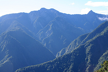
Jade Mountain (Yu Shan)
- Jade Mountain (Yu Shan)
- 3952 m
- Primary factor 3952 m
- Taiwan HP
- Location: East of Alishan, about 300 km from Taipei.
- Location: North 23:28.200, East 120:57.436 (GPS at the summit)
- Difficulty: YDS class 2 (mostly class 1, with exposure)
- Climbed June 26. 2007.