Location: North 38:59.148, West 114:18.842 (GPS at the summit)
Nevada, USA
Difficulty: YDS class 1
Climbed: July 3, 2008
Information:
How to get there:
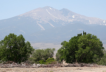
Wheeler Peak in Nevada is located in the Great Basin National Park.
Access is via Hwy. 50, this road runs east-west south of Interstate I-80.
Access may be by going east from Reno, going north (on Hwy. 93) from Las Vegas,
or going west (on I-80) from Salt Lake City to Wendower, then south along Hwy. 93.
Locate where Hwy. 487 branches south from Hwy. 50. This is east of Ely, and approximately
5 miles before Hwy. 50 crosses into Utah. Take Hwy. 487 4.8 miles to the small village
of Baker. In Baker, there is a clear sign pointing right to Great Basin National Park.
Drive this road 4.8 miles to the park entrance. Immediately, make a right turn and
proceed along this road as it climbs higher on the mountain for several more miles.
There are signs stating your elevation, the trailhead parking is above 10.000 feet.
Your first good parking area is on your right hand side, it has big signs saying
Summit Trail Parking. Pull in here and park. This is the trailhead, location
N39:01.044, W114:18.204, elevation 3103 meter.
Route description:
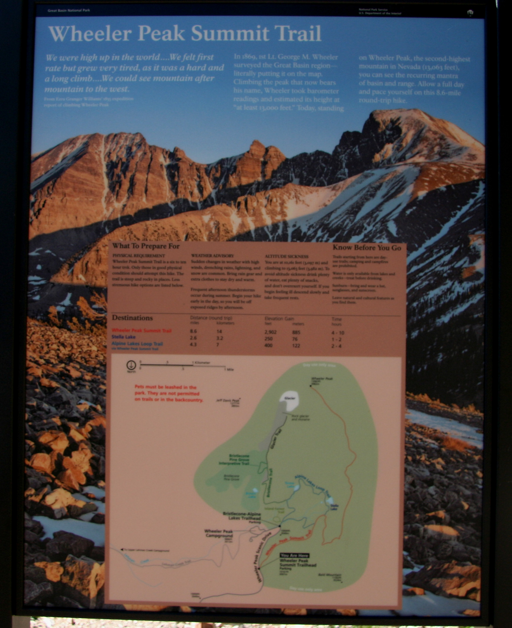
From the trailhead, proceed by the information sign and follow a good
trail that runs horizontally for about 1.6 kilometer. Here, the trail
forks sharply right. There are clear signs
showing that this is
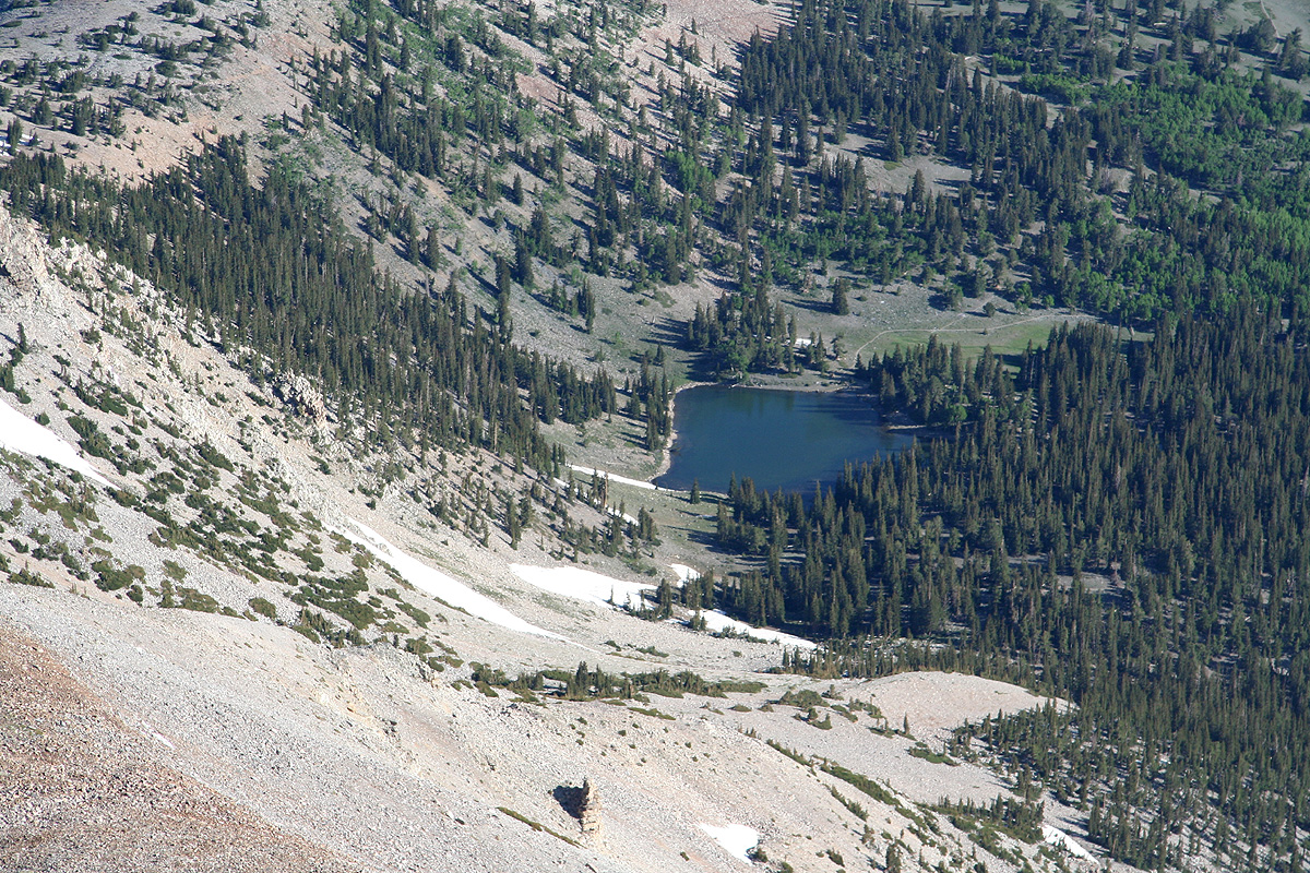
Wheeler Peak Trail. Straight ahead is lake Stella, if you get to
a lake you have missed the turn.
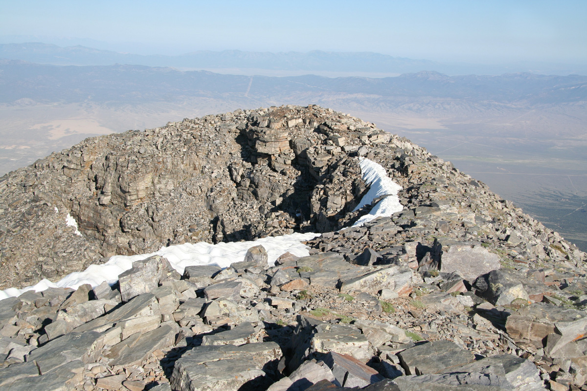
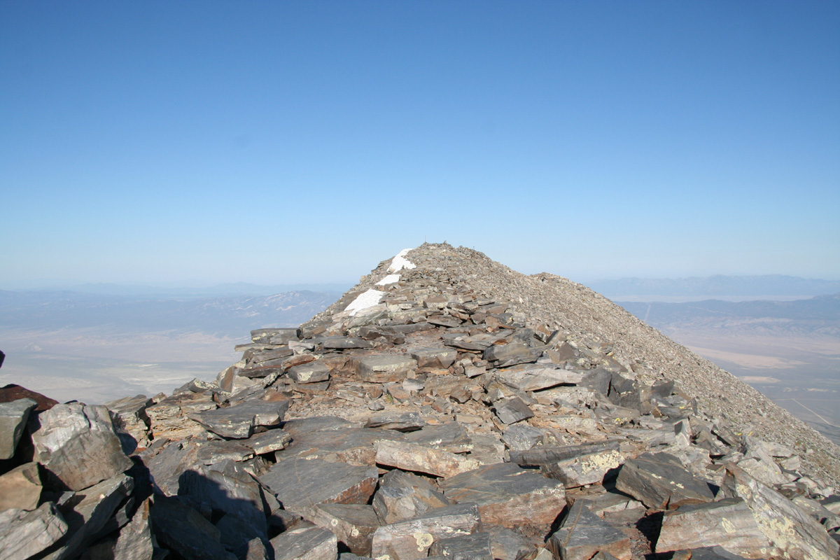
The trail continues up on the ridge crest, then follows the very
broad ridge to the summit. The summit ridge has several cairns, the
highest one is near where the trail emerges. It is nice to walk
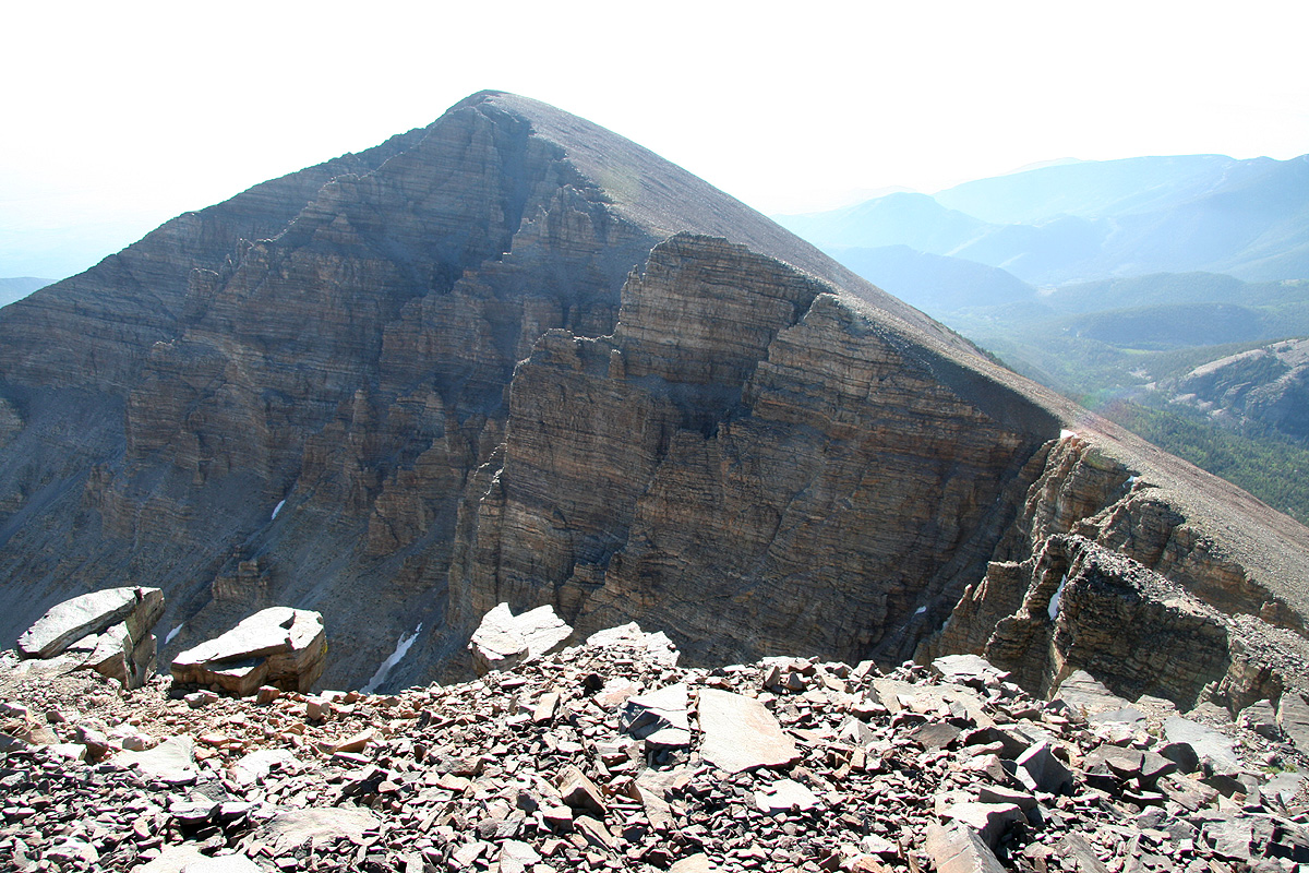
onwards to the end of the ridge as it provides a good view to the
rest of this mountain, somewhat more rugged terrain.
Comments:
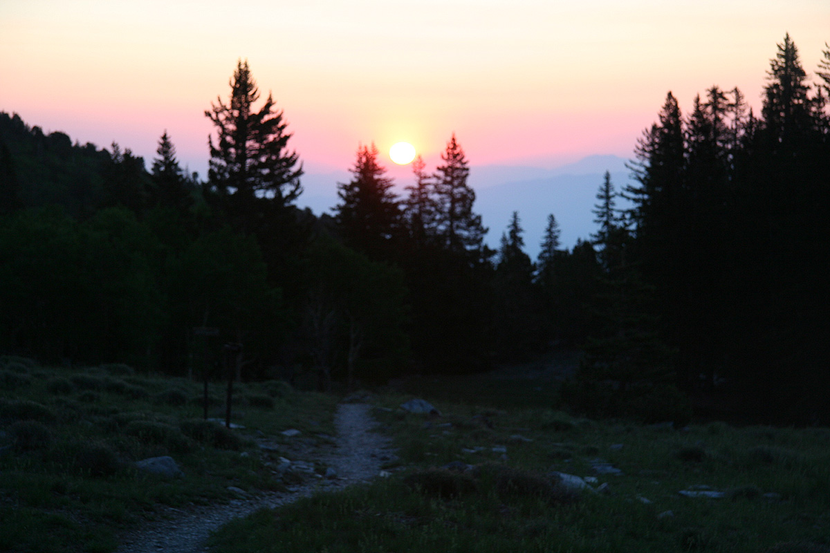
I drove to the trailhead shortly before dawn and started hiking by 0500.
No need for any light, the eastern sky was an inferno of red colors.
I came across some dears and stopped to take pictures. I knew from the
trail registration book that I had a single hiker from California ahead
on the trail.
The sunrise was very nice and I surprised
several deer that was out in the early
morning hours.
Arriving at the summit around 0715,
I almost said "good morning" in
anticipation of finding the guy there, but nobody could be seen anywhere.
I signed the summit register as the first visitor on July 3rd., thus the
whereabouts of my Californian remained a mystery.
I walked to the end of the ridge
and enjoyed the views and the nice
weather. By 0745, it was time to descend. Quite far down I met several
groups of hikers going uphill. I stopped and had a perhaps 10 minute
chat with a senior guy from Mammuth, California. He told me that he climbed
Wheeler Peak for the first time back in 1955.
Continuing down, I reached the car shortly before 0930.
The California "mystery" was there, thus providing an explanation. He had
summitted before 0600, then decided to traverse (off-trail) across to the
other part of the mountain, returning directly down a huge slope of
scree/talus.
The National Park Service makes a big mistake by posting totally wrong information
on their trailhead signs. This sign states that the hike to the summit (and back) is an
"8 to 10 hour hike". Nobody that would require such a long time should even attempt this
hike. The NPS should really post an average time, or just state the elevation gain and the
(correct, not inflated!) distance. By deliberatingly posting information that they know
is wrong (most likely to scare hikers from doing the trip?), they lead most people to
ignore whatever they say. (cry wolf etc.)
To read about the other peaks climbed on this trip, see this summary.