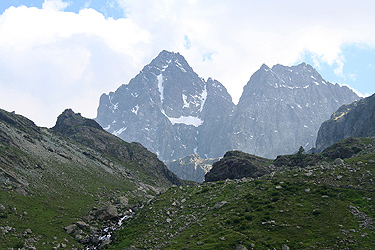
Monviso
- Monviso (Monte Viso)
- 3841 m.
- Primary factor: 2062 m
- North-west Italy, near France.
- Location: North 44:40.044, East 007:05.403 (GPS at the summit)
- Difficulty: (YDS) class 4 - French: PD.
- Climbed July 10, 2009
Monviso
|
|
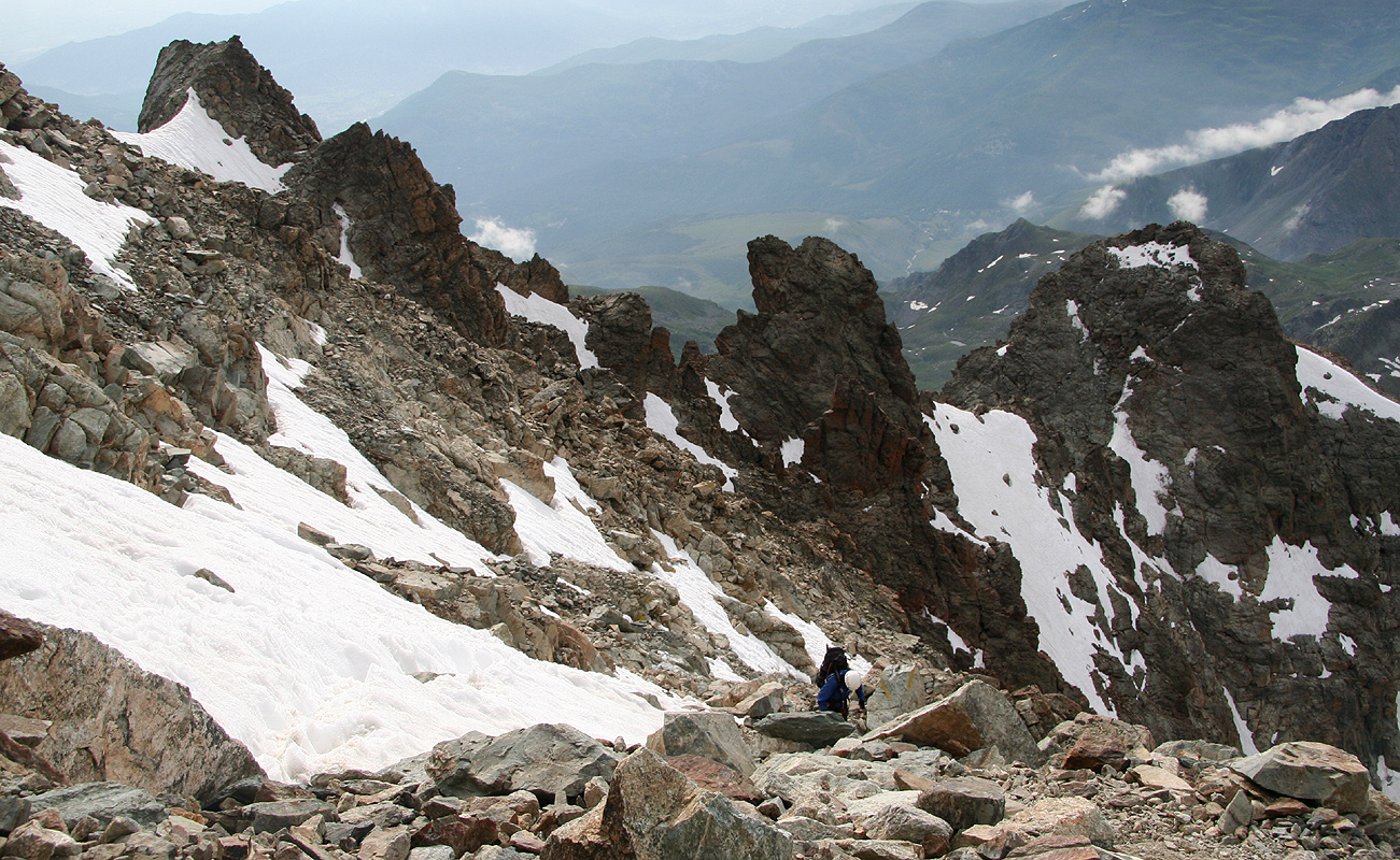
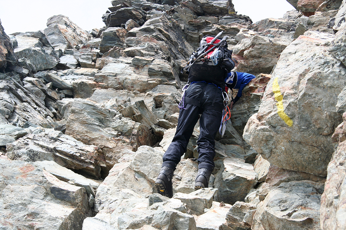
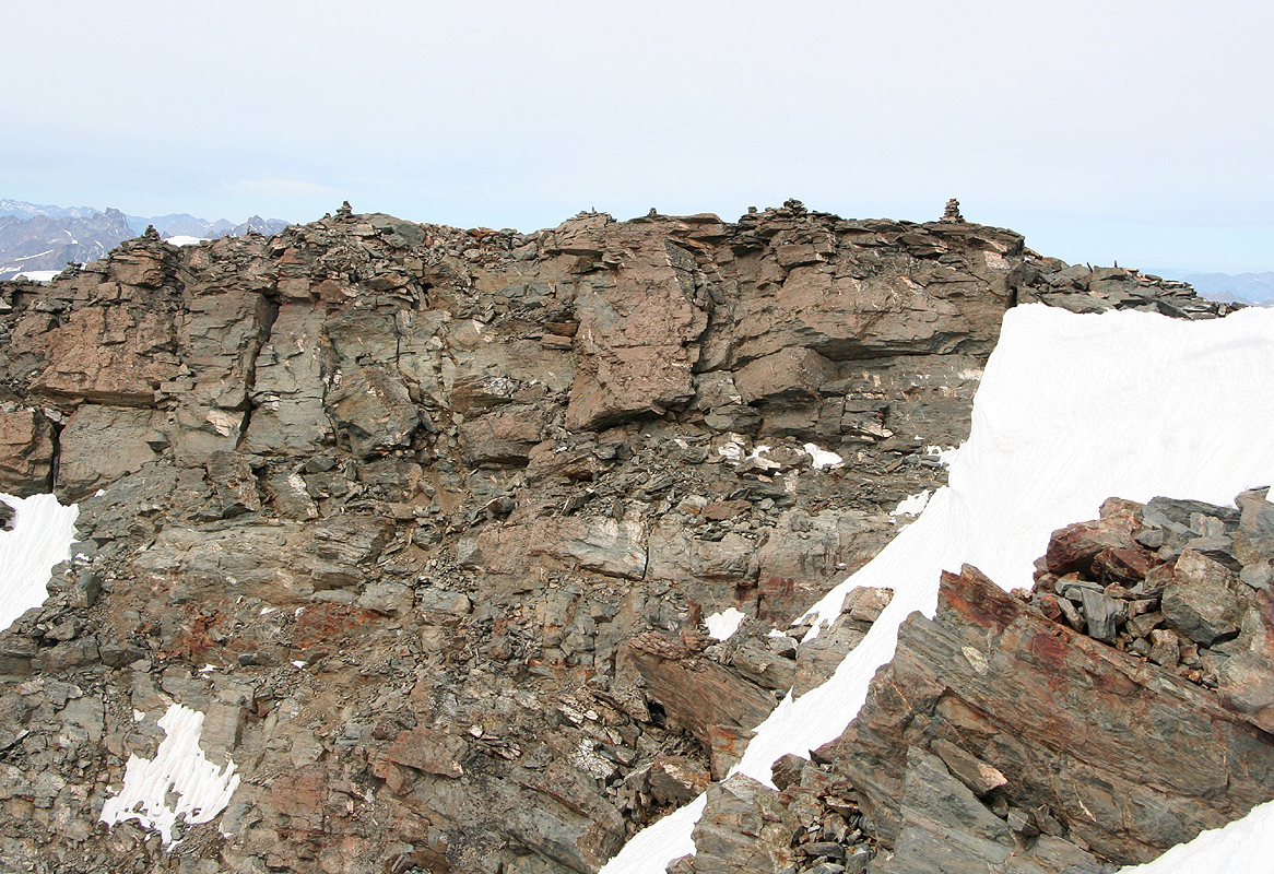
The route now follow easy ledges, a bit left then right, in order to gain elevation.
This is followed by a section of easy climbing (generally going a bit to the climbers right).
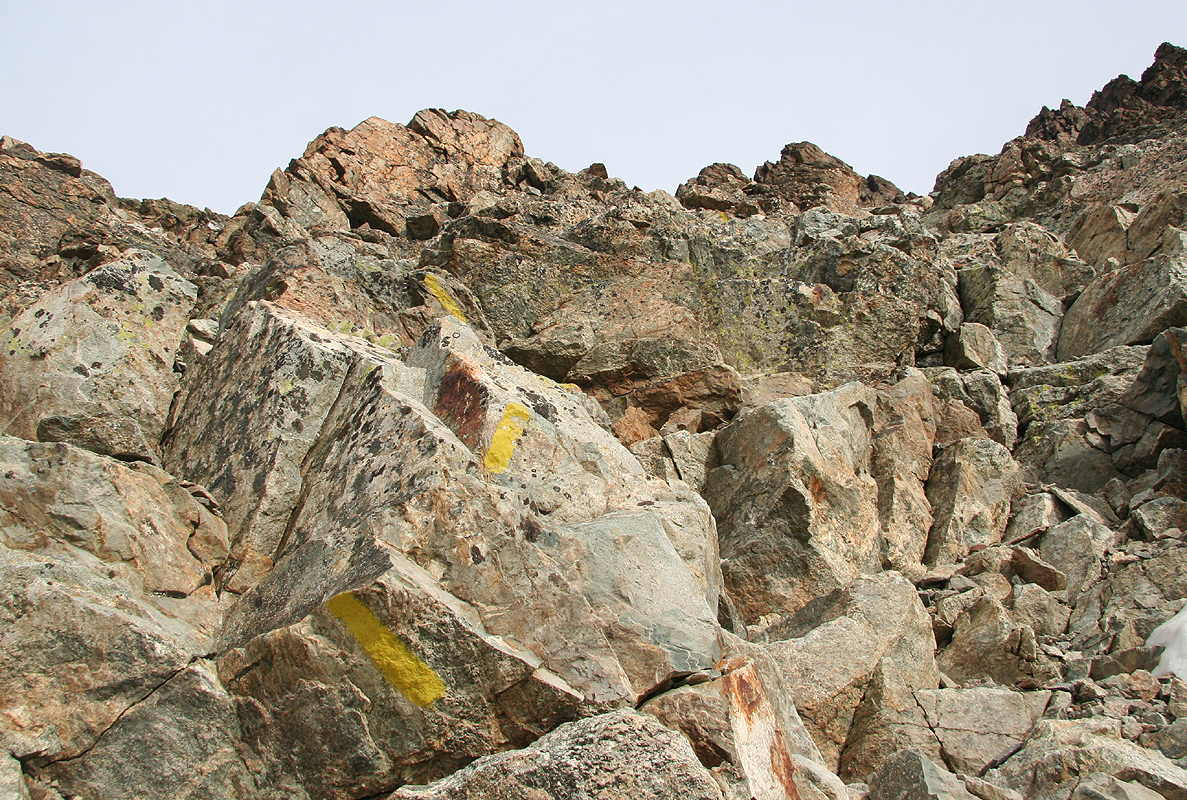
The route is well marked by yellow paint and arrows.
A slightly more tricky point
follows where you ascend a narrow crack in order to gain a small shelf higher and now
to climbers left. From here, you again reach easier terrain. A pretty long section now
follows where you ascend on a traverse heading left.
Above this section, the terrain (and climbing) again becomes noticeably steeper. Ascend
a small buttress more or less head on (steep, but with good holds) or turn this (possibly
on snow) on the right side. The next buttress can be climbed on either the left or the
right side (yellow paint may point right here). The climbing is never difficult and the
holds are good. What characterizes the climb is that it goes on and on ... and on. There are
cliffs and more cliffs, this is a long climb were you need to stay focused. Eventually, the
route heads more right and we encountered a last snow pitch that turned a corner up on our
right side. Crampons back on for the 4th. (or was it 5th ?) time, the route went back on rock
and we climbed a pretty easy gully that lead more or less directly to the final steps before
the summit.
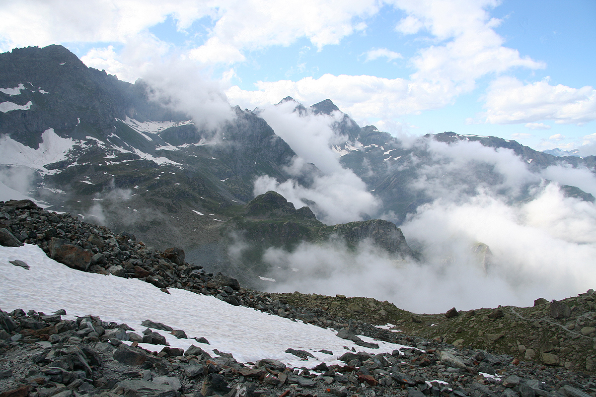
It should be noted that we had a lot more snow than what is normal for the time of this climb.
Later in the season, or when there is generally less snow, the conditions may be more continuous
rock and less mixed as we experienced it. Rock fall is a real danger on this mountain, see also
our trip report below.
Comments:
First attempt, July 9., 2007
I did this climb with my son Pål Jørgen, age 18. We had established
a "base camp" in the coastal city of Alassio, where my wife Heidi would enjoy some
Mediterranean sea and sun while we were up on Monte Viso. Thus, we left after
breakfast on July 8th. and drove to the small city of Crissolio, where we had lunch.
The parking at the end of the road (the trailhead) was filled to capacity, but we did
find a spot, then sorted through gear and decided what to take along.
We were off hiking at 1345, the weather was cloudy, we never saw all of Monte Viso, but
parts came into view
between drifting clouds. The weather got gradually worse and light
rain turned somewhat more permanent as we approached the Refugio Quintino Sella, Q. Sella for
short. We arrived at 1600, the hut guardian remembered my phone call about a week earlier and
had our reservation. The hut had been quite full from Saturday to Sunday, but with few guests
staying this night (Sunday to Monday), we got a 6 person room all to ourselves.
We had an excellent dinner with wine (for me) and coke (for Pål), then went early to bed.
I woke up at 0430 and immediately looked out. I could see stars and a narrow moon, the weather
thus looked fairly promising. We got organized, had breakfast and set out at 0515, it was light and
there was no need for headlamps. We quickly gained the steeper section above the lake and then
took some time completing the fairly long and steep section to the col. Unfortunately, the weather
did not improve, rather the opposite. We descended into the valley, where we bumped into a French
guide and a client coming from Bivacco delle Forciolline. It started raining and the weather was
generally unpleasant. We advanced up the snow and decided to take a break in the small, but nice
shelter (6 beds). We arrived there 0745 and hoped that the weather should improve. The French guide
and his client soon joined us and we had a nice chat about various mountains that we both had
visited. After about 30 minutes, we checked outside on the weather. It had further deterioated, it was
now snowing and pretty windy. The French guide remarked that if we just waited a bit more we might
be able to ski out. Soon thereafter, he told his client that there would be no climb and that
they rather should turn back.
Pål and I decided to wait until 0900. We would like to be back in Alassio before dinner.
It was pretty clear that unless the weather showed clear signs of improvement, there would
be no summit climb. At 0900 it had stopped snowing, but the weather was still pretty bad.
Thus the descision to turn back was pretty easy, we headed down around 0900. We had not brought
heavy duty gloves for climbing under this kind of conditions. The new snow would mean pretty
slippery rocks and the need to climb with the hands in snow. A realistic estimate is that the
final 600 meter climb from the shelter still may take about 3 hours and that is just up
to the summit.
We returned to Q. Sella at 1100, by now the weather was worse than ever with heavy rain.
We waited out the worst part of it, then started down at 1145, reaching the car at
1330. The weather did not improve all day, so this was just unlucky timing.
It rained even at the coast, we were happy to return to our hotel and a better
dinner. Monte Viso simply did not want a visit right now, we shall return under more
favorable conditions at a later time.
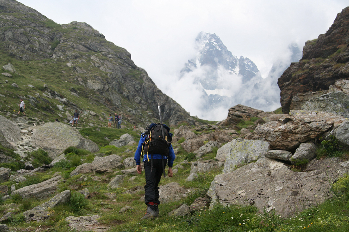
Our summer trip now carried on into France, where the next objective
would be Grande Tete de L'Obiou..
Second (successful) attempt, July 10. 2009
We had travelled directly from Bergen, Norway to Milan and then by rental car to the
small village of Saluzzo, where Heidi had established the family headquarters.
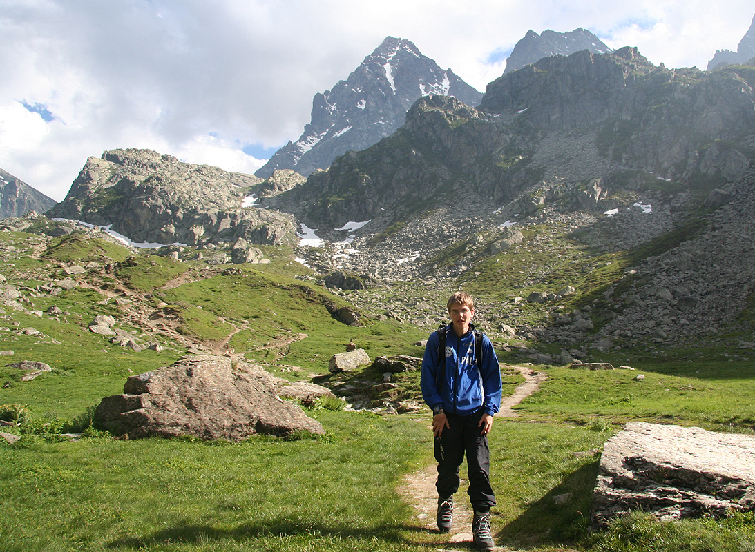
Pål Jørgen and I had continued to the the trailhead and started out hiking
by 1700 and making the rifugio already by 1845, obviously we were in pretty good shape.
A nice dinner and early bed, we wanted to start by daylight for what we knew would be a
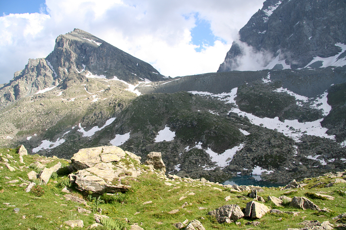
long summit day. We were here one day later than our visit 2 years ago. A lot more snow than
last time we were here. The lake by the rifugio had ice and the entire stretch from the moraine
to the small pass before descending to the rifugio was covered by snow.
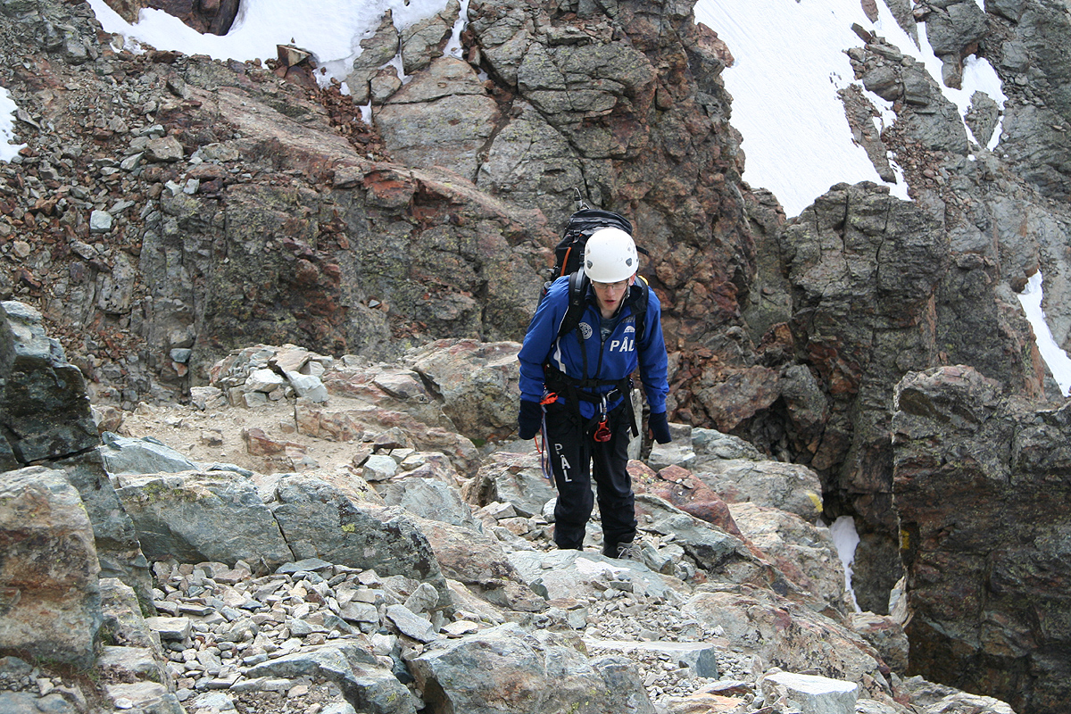
We left by 0515 and made the col on top of the steep gully by 0615. The snow made us miss
the trail that avoids the gully. Most of it was filled by hard snow and we crampon'ed directly
up to the col. The continuation was well known and we arrived at the Bivuaci at 0730 for
a brief rest. This was our previous high point and we were eager to continue. First on snow,
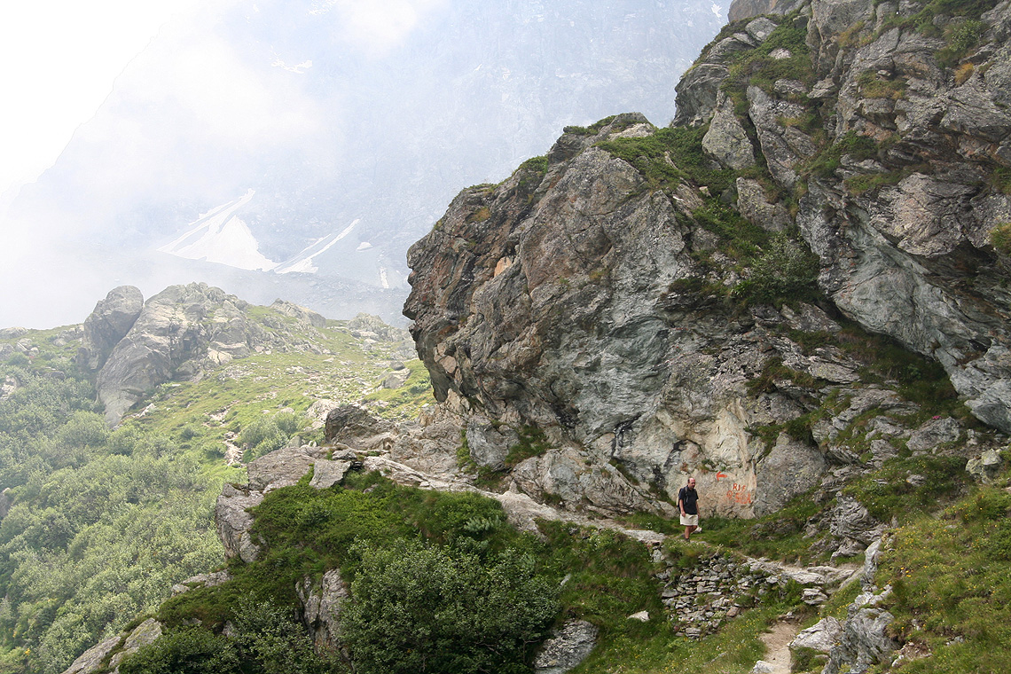
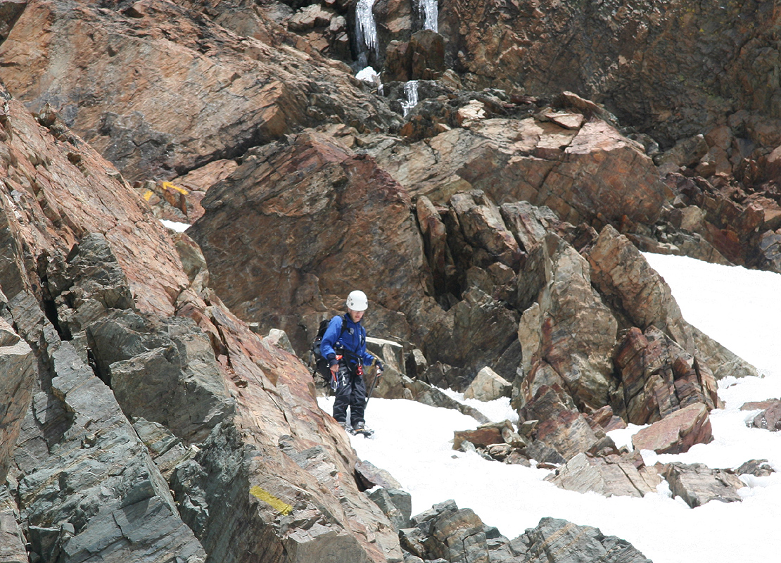
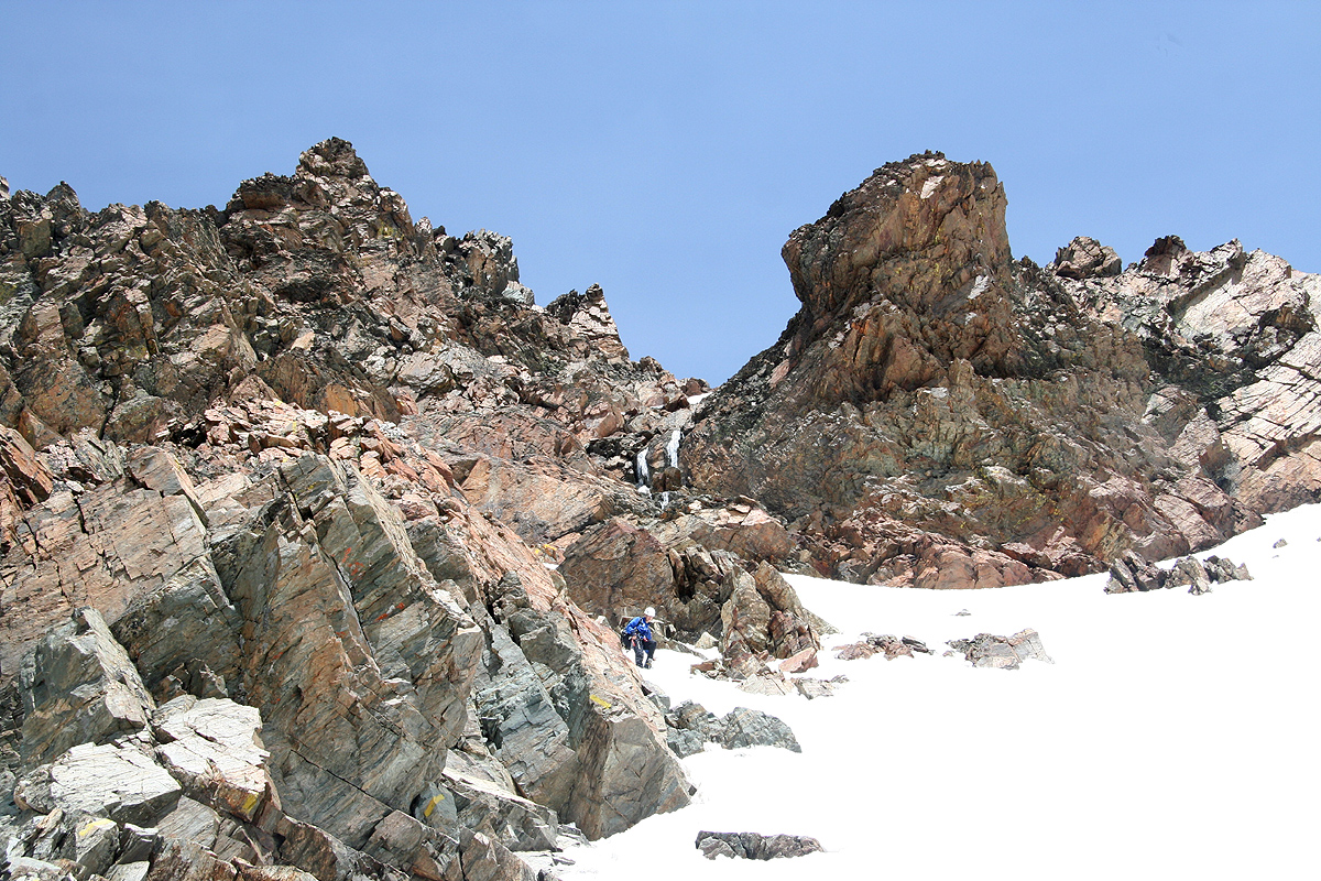
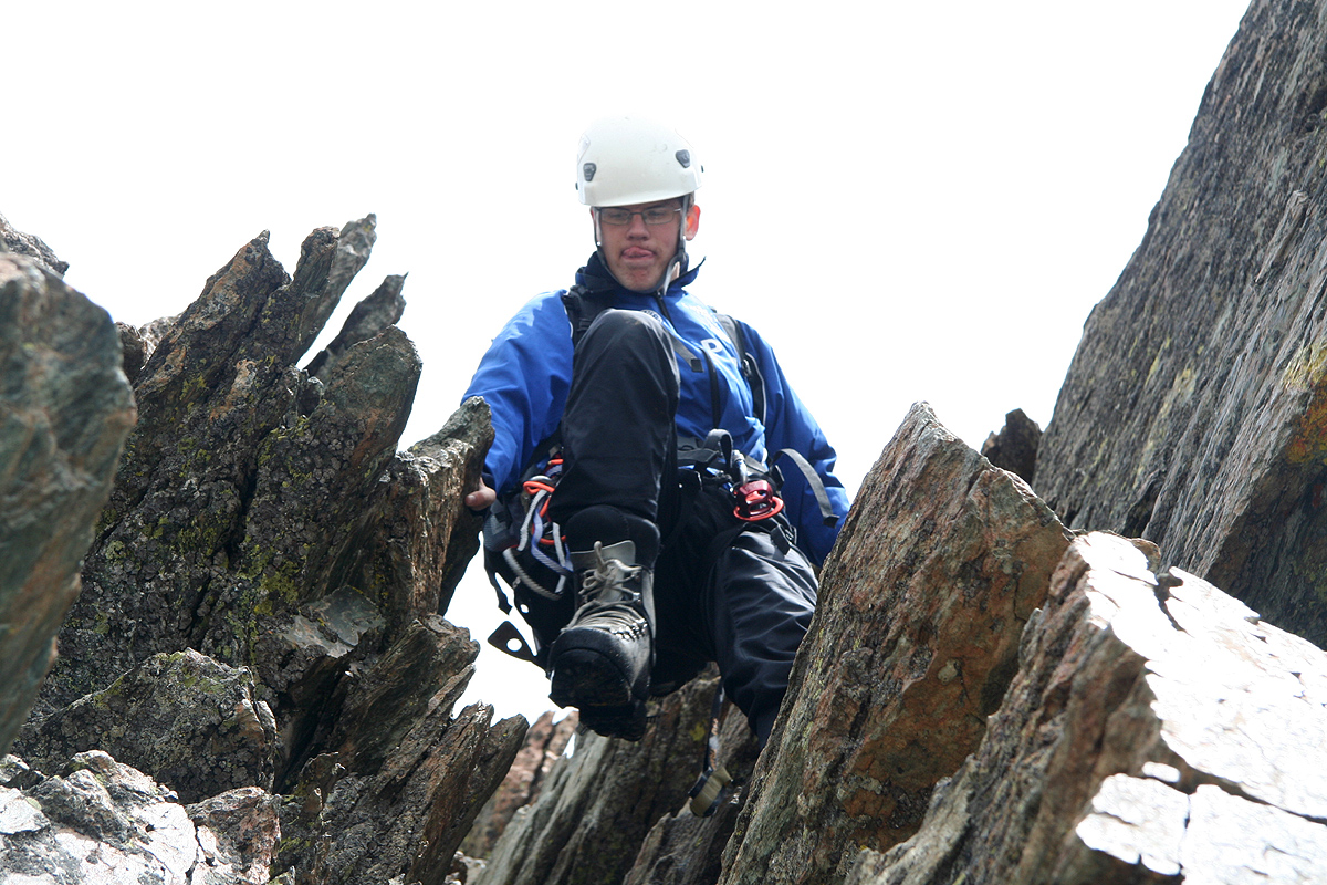
then crampons off as we entered the ledges that carried us higher.
The climbing went well
and we got used to the mixed conditions that
required us to put on and later take off crampons
every time we encountered a snow field along the route.
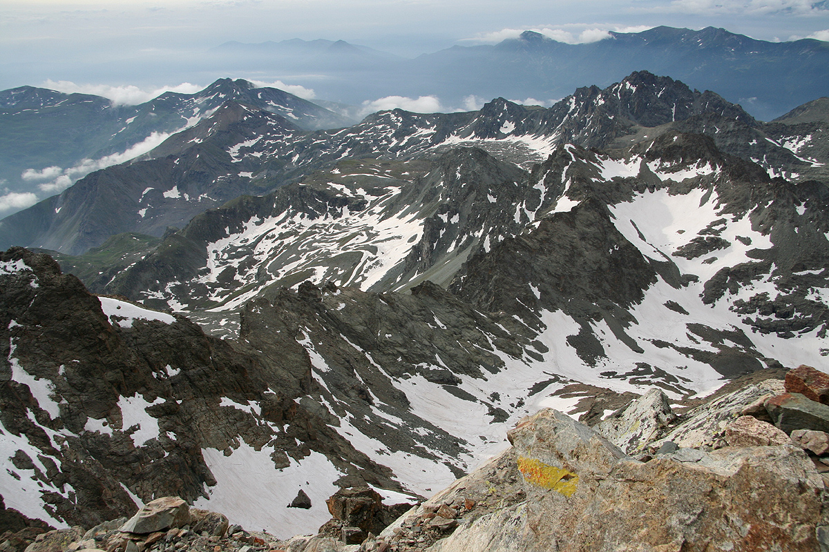
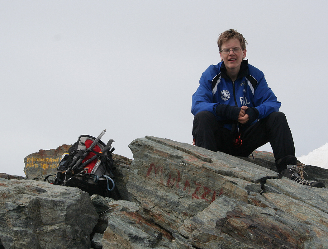
It is indeed a long climb and we
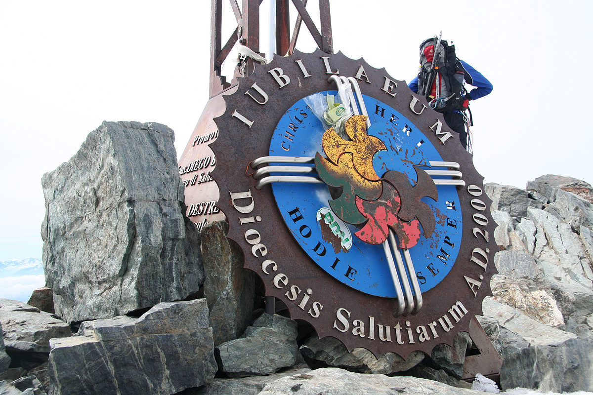
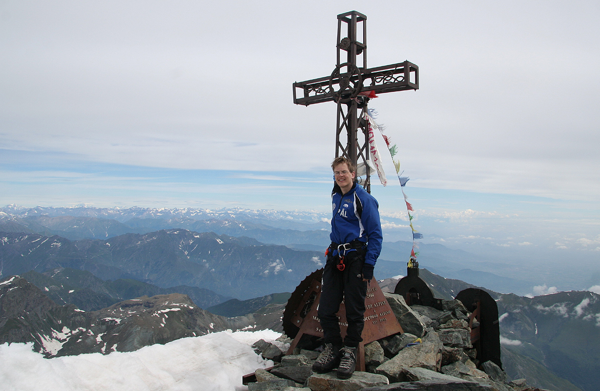
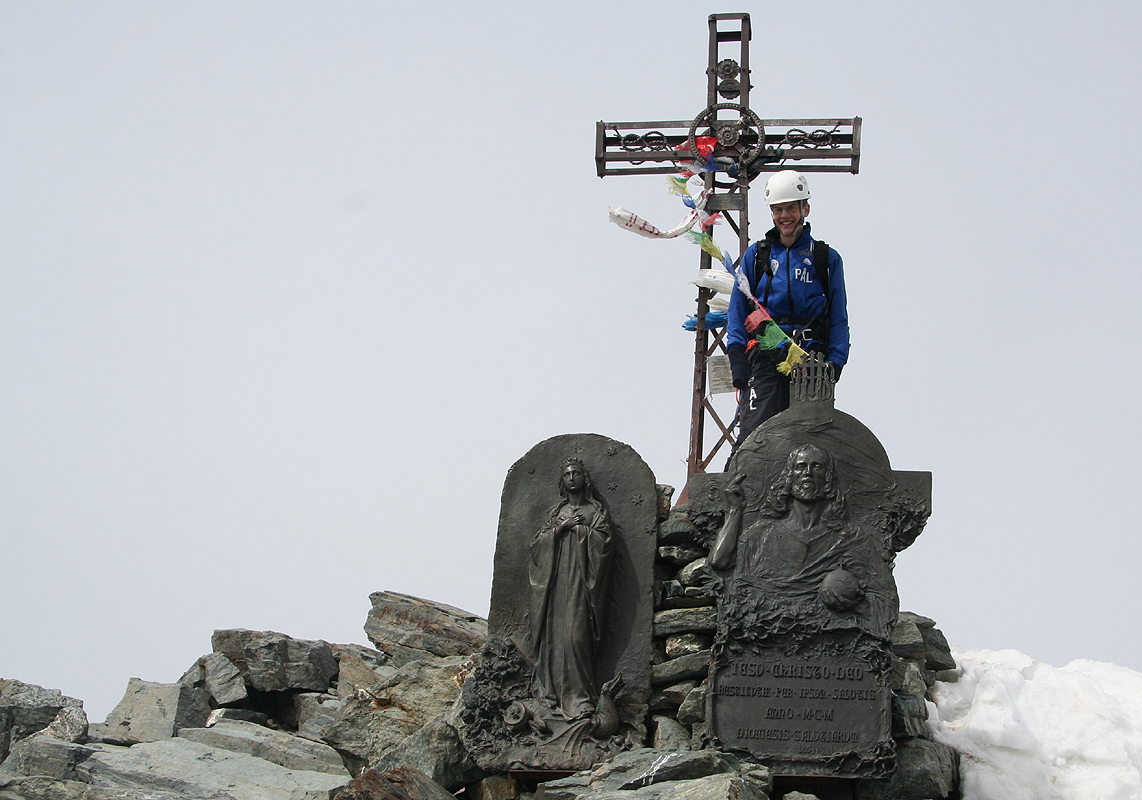
were quite happy when the summit was ours by 1045, about 3 hours from the Bivuaci.
Two teams made the summit ahead of us, they had both started descending by the time of
our arrival. We did not meet any teams on our descent, so about 3 teams climbed Monviso
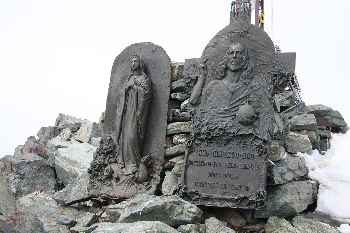
on this very nice day. Photos were taken and we had plenty of time to look and enjoy.
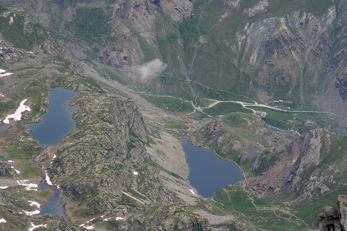
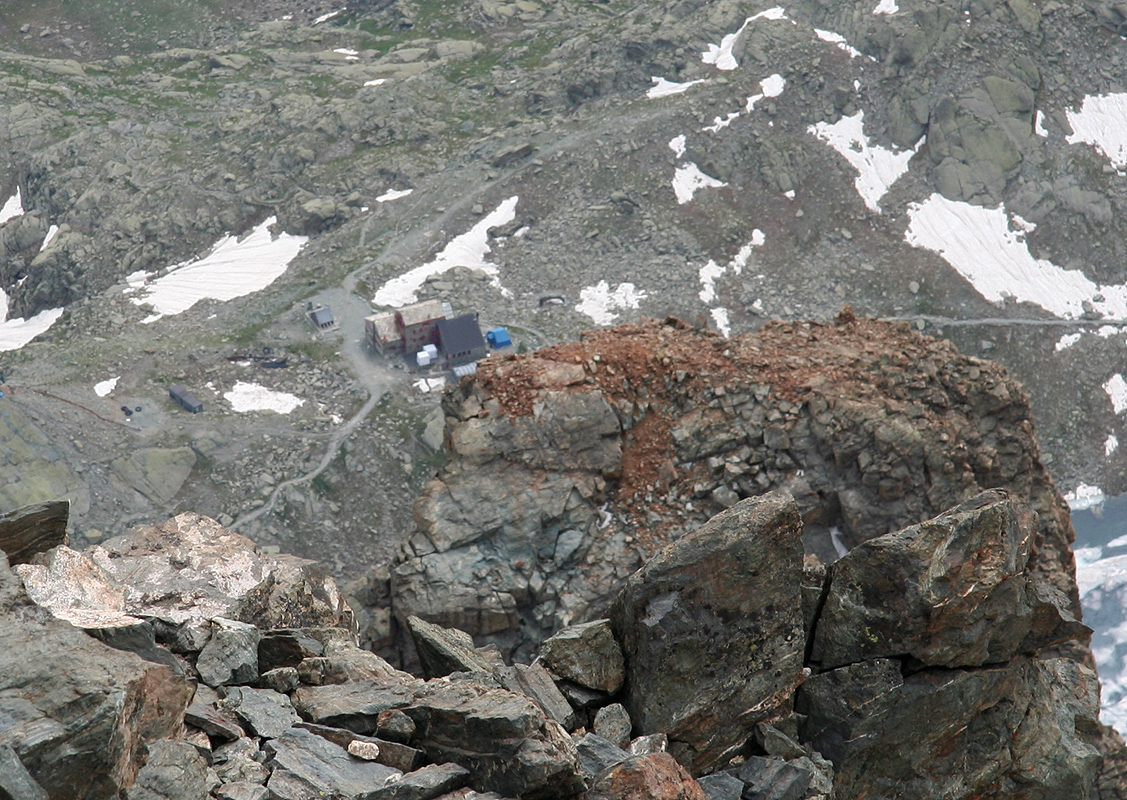
The trailhead with the road
and the parking as well as Rifugio Q. Sella are visible
directly from the top.
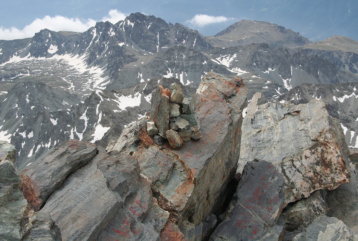
This peak really
stands out in isolation, rising
more than 500 meter higher than anything nearby. You get a special
feeling on top, there is a lot down in all directions and few nearby peaks. There is only
one nearby ridge
that destroys a perfect panorama. The snow ridge heading across that way did
not look very welcoming.
We left at 1115 and descending took about the same time as climbing.
Care and focus all the
way, but each move is fairly easy. The same as when going up, this climb continues for
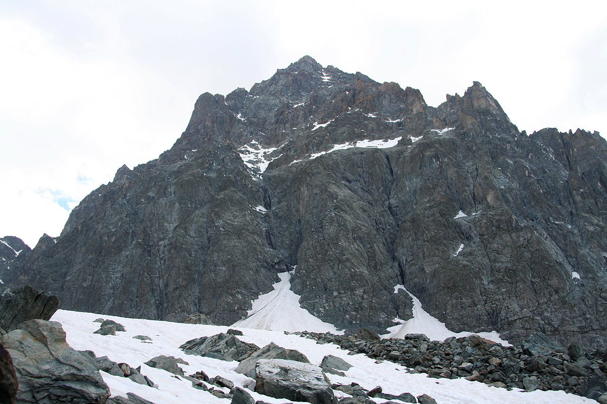
quite some time. By 1400, we had reached the large snow area that signals the end of the
rocks. From here, the route runs on snow back to the Bivuaci.
We sat down and started to fix our crampons, hopefully for the last time this day.
BANG !!, A sharp sound, like a rifle shot alerted us. I knew immediately what this was
and looking straight uphill, I saw a rock the size of a basketball that came directly down
towards us. Time is very short, "HIDE!", I shouted and pushed my head into a V-shaped crack
in the rock. Pål Jørgen never even saw the rock, but fortunately, had a similar
crack that he could throw himself (at least his head) into. Within a fraction of a second
the rock bounced by us with a thunderous blow as it hit the ground about a meter from our
feet. My mind had gone into "slow motion", a lot of thoughts went by in this very brief
time. I worried about Pål, I worried about our unprotected legs. It seemed very unlikely
that the rock could hit my head, but a leg could be horribly injured by something as big
as this one. Helmets yes, we had worn them since the beginning of the climb. This rock could
kill a big bull, our protection were the cracks that we dived into, not the helmets.
It was over in a matter of (at most!) two seconds. The rock had ended its journey somewhere
on the snow field below. We were both completely unharmed, but this was too close for
comfort. I looked up and realized that this location, where snow ends and rock begins is a
nasty place. The terrain forms a somewhat irregular gully above. Rocks are likley to be
channeled right down where we were sitting. Lesson learned: Never stop right here, walk on
crampons about 30 more meter on ascent. Put on crampons about 30 meter before you get
here when descending.
We were back at the rifugio at 1545. A long break was needed and coke and beer tasted equally
well. We called Heidi and agreed that the evening dinner would be in Saluzzo, ie. that the
hotel should be booked for a second night. The hike from the rifugio back down to
the car went quite well after the
good rest. Clouds were drifting around and the trail
was nice to walk. The lower laying areas of this mountain certainly has many
attractive features, nice lakes and an abundance of flowers.
The univiting Monviso (Monte Viso) always
looming above.
We left the rifugio at 1630 and made it back
to the car by 1820, slightly slower than our ascent,
but this was the end of a 13 hour day.