Location: North 36.54400, East 029.56769 (GPS on the summit)
Difficulty: YDS class 2
Climbed July 5. 2016.
Information:
How to get there:
From the coastal town of Kas, drive about 10 kilometer (uphill) in the direction of Antalya,
then turn left on a road that is clearly signed for Elmali. Follow this road, first through
the village of Kasaba, then across a big hill to merge with a bigger road heading north.
Shortly, you have a reservoir on your left, after the lake, turn left to Gömbe. Drive across
the dam, then through Gömbe until you cross the creek/river. Turn left here and follow signs
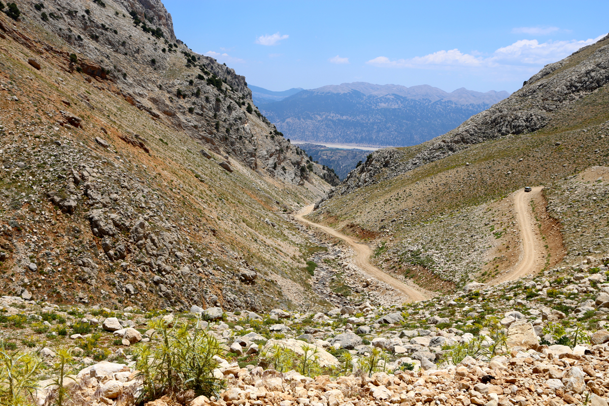
for Ucarsa. The road eventually turns to gravel as it
ascends a narrow vally the arrives at a large,
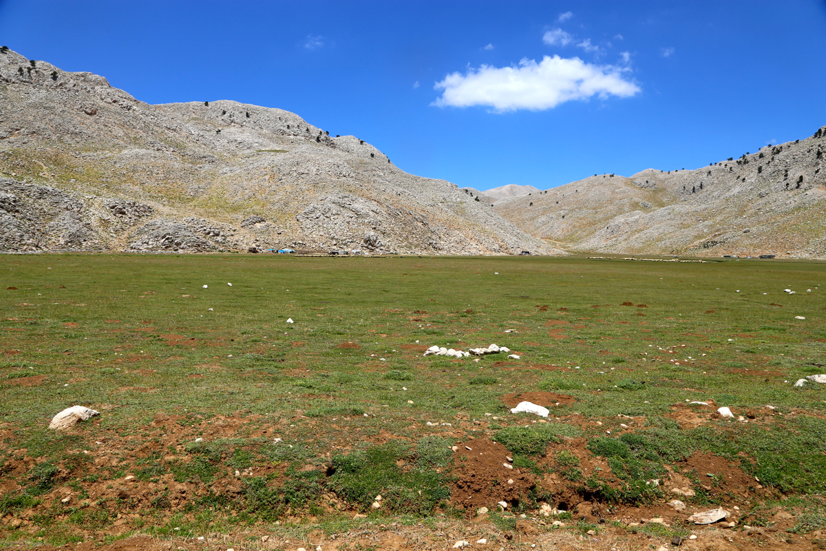
completely flat, grassy area
with a few smaller huts (and most likely, sheep). This is a possible
trailhead as you will find a trail that originates here and heads south up the valley.
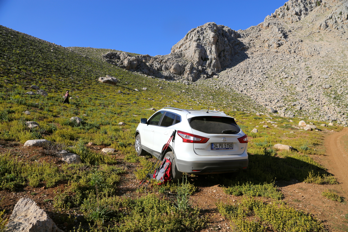
Alternatively, continue on a somewhat rougher road that ascends a parallel valley (west). Do not
drive across the creek, but park
at location N36.57439, E029.59159, elevation about 2165 meter.
Route description:
There is a trail marked with cairns that runs from the big, flat grass area and all the
way to the summit. However, the trail is vague in a few places and a general idea of where
the route goes may be helpful.
First, if parked up the rocky road beyond the flat grass, cross the ridge from north to south
and pick up the trail that runs up the valley.
Follow it (easy) to about 2500 meter of elevation.
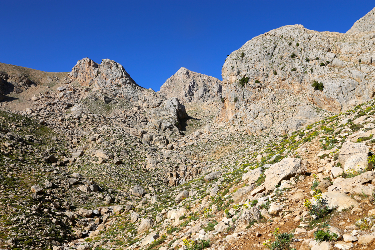
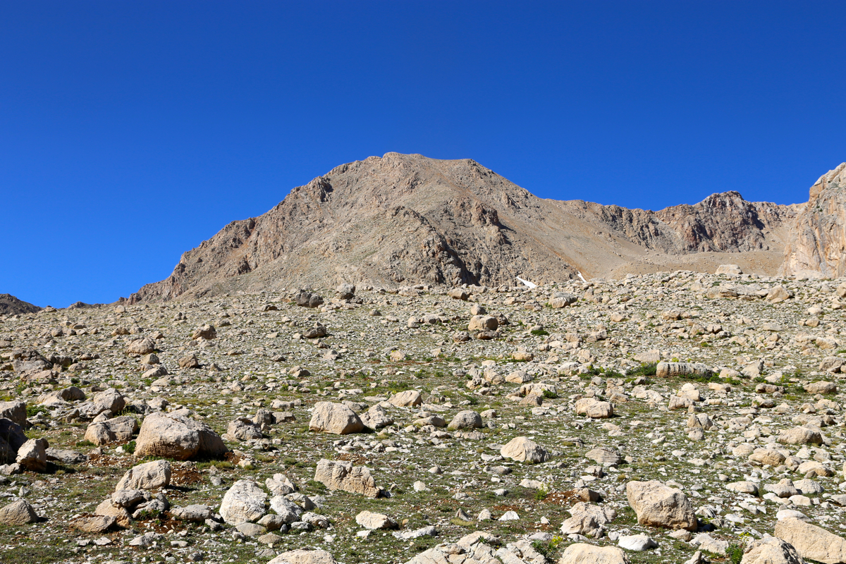
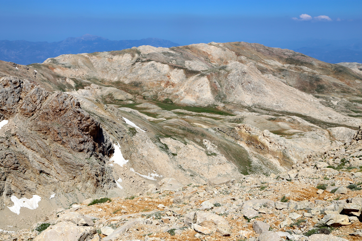
From here, continue up the broad and gentle ridge towards the higher peaks ahead. You will then
notice a valley/bowl to the south-west.
There is a ciarned trail that ascends this bowl, heading
more or less directly towards the summit, however, protected by cliffs. Turn left and ascend slightly
steeper a slope that connects to the top ridge. From here,
follow the ridge to the summit. Comments:
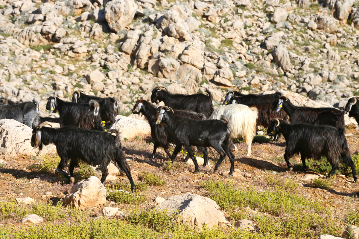
I left my car at 0810 and immediately ran
into a herd of sheep (or rather goats?), the dogs
were friendly. First acrossthe small ridge, then up the valley on a good path. When the slope became more
gradual a bit above 2500 meter, the trail headed towards the large area where sheep may find food, while
I continued up the gentle, broad ridge. On top of this ridge, I ran into more sheep, a friendly shepard
and 2 dogs, one was quite well behaved, the large one tried to look angry, but was immediately told
to behave by the shepard. He tried to outline a route for me, and in hindsight very correctly indeed.
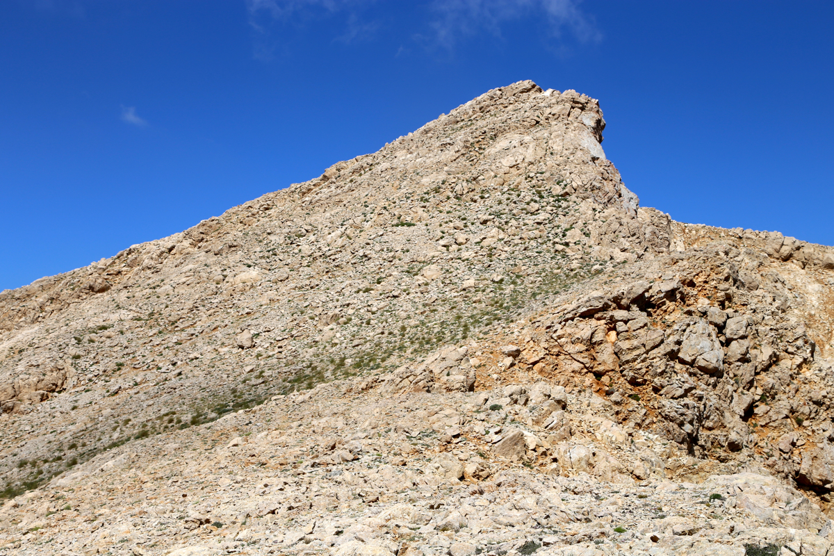
I continued up into the bowl, turned gradually left and ascended a slightly steeper slope to gain
the main crest, east of the summit. From there, a short hike got me
to the first, nice looking peak,
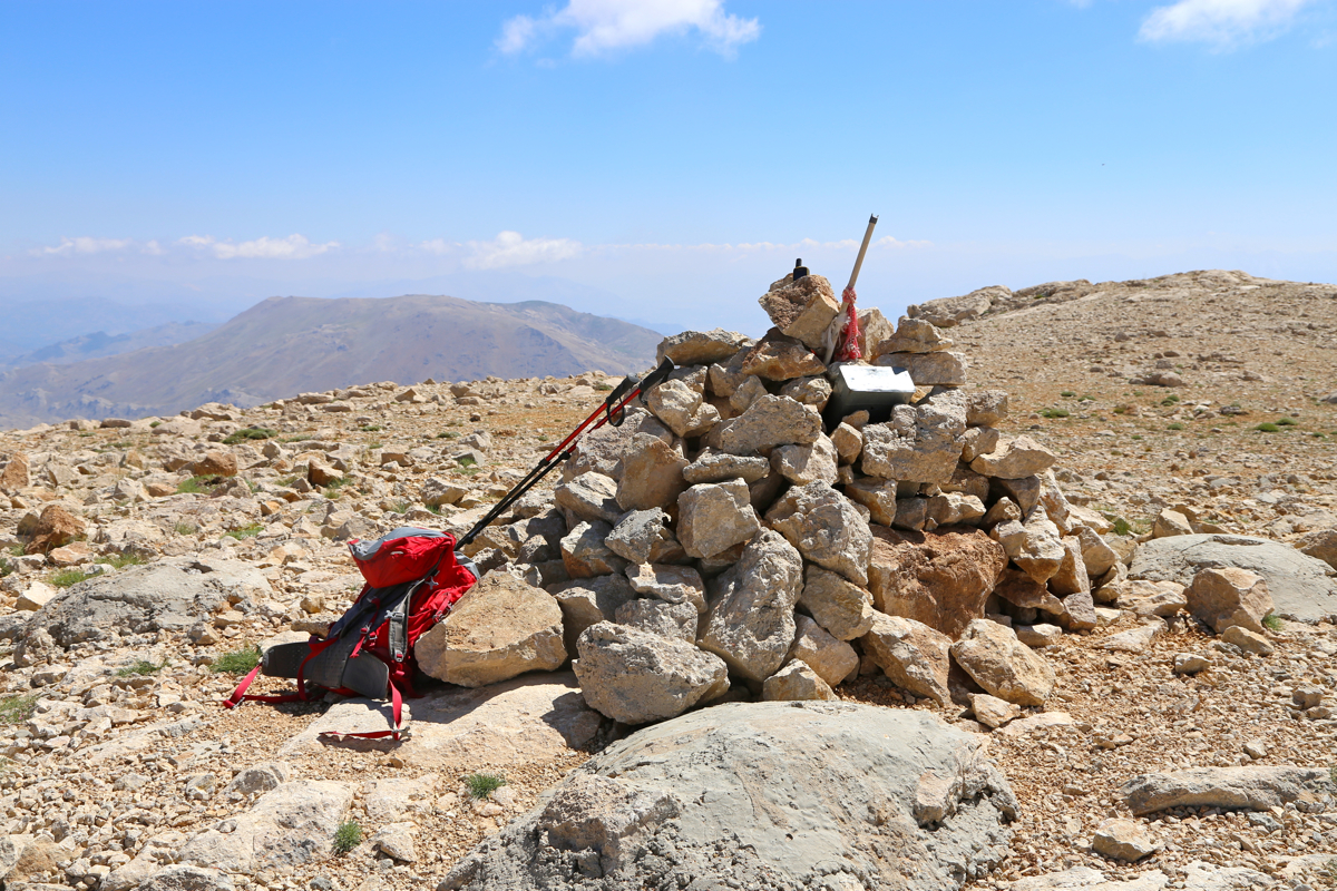
then onwards to the pretty flat summit plateau with a cairn and a summit register. The time was 1040,
so 2:30 ascent time. I had a rest and changed to shorts, drank half my water and enjoyed the
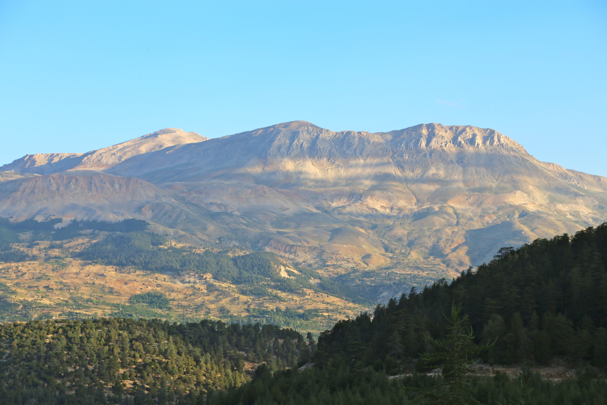
very nice landscape. Interesting colors and a
good blend of peaks and meadows.
Leaving at 1100, it was clear that the proper route would descend along the NE ridge, then directly
back down into the basin at the obvious location where the cliffs ended and a slope provided for
a short, slightly steeper, but easy descent. The rest of the return was nice, but no more
sheeps, as I hit the car by 1245, so a 1:45 descent.
A nice drive back to Kas, arriving there around 1430, time for a well deserved swim in the sea!
Here is a quick summary of peaks climbed in our trip to Turkey.
