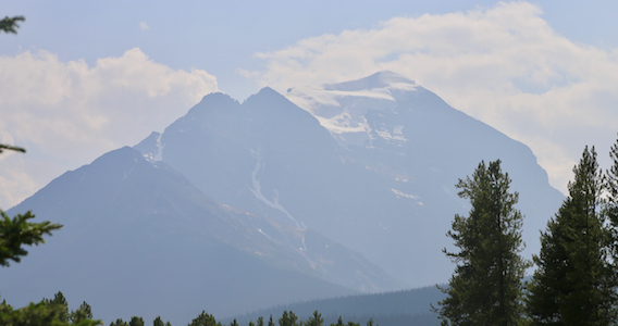
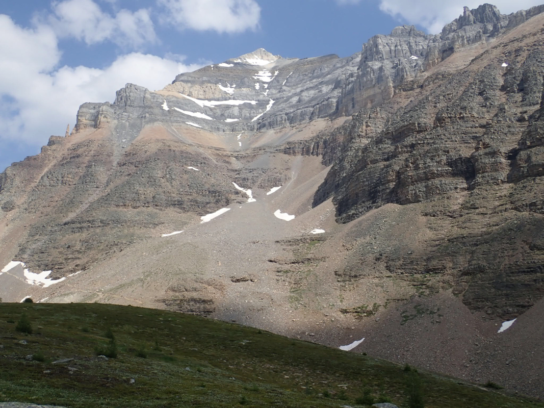
Mount Temple
- Mount Temple
- 3540 m
- Primary factor 1520 m
- Canada
- Location: North 51.35101, West 116.20641 (GPS on the summit)
- Difficulty: YDS class 3
- Climbed July 30. 2018
Mount Temple
|
|
How to get there:
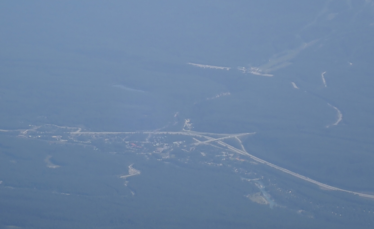
This peak is essentially located in/near the famous tourist resort called Lake Louise.
Lake Louise is easily reached by car from Calgary. From Lake Louise, take the road
that serves Moraine Lake. Drive to the end of the road, this is shortly before
the lake. Park here, at location N51.32924, W116.18167, elevation about 1860 meter.
Note that this road is quite popular and that the park rangers close it as soon
as the parking area is full. After this time one may reach the trailhead by bus, however, one
should aim for an early start and be parked at the trailhead before 0600.
Take the big trail that starts out
having the lake on its left hand side.
This trail will gradually leave the lake and head more uphill, after a while
making switch-back turns in order to gain the hillside. Near the top of the hill, there is
a fork where you should keep right. This location is at N51.32593, W116.20016, elevation about 2220 meter.
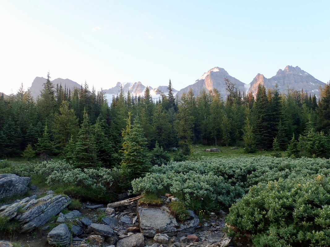
Gaining more level ground, the
trail breaks out of the forest and continues its
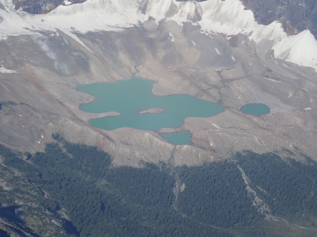
ascent more gently, passing a few smaller lakes.
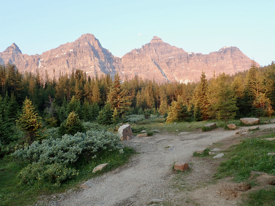
Curving slightly right, the trail aims for the very distinct pass called Centinel pass. In order to
get there, the route will curve back to the lower
slope of Mount Temple, then
zig-zag up the slope to the pass.
This is the end of a very popular tourist
trail.
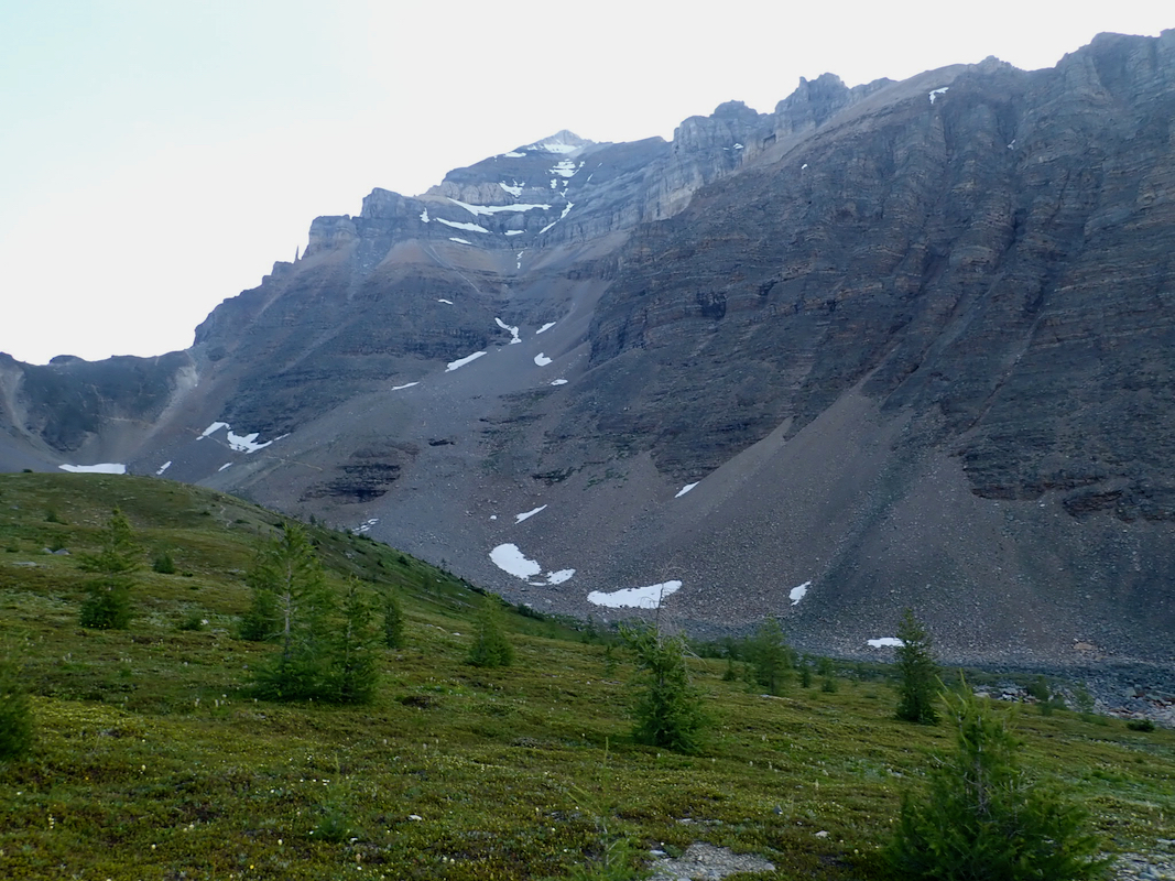
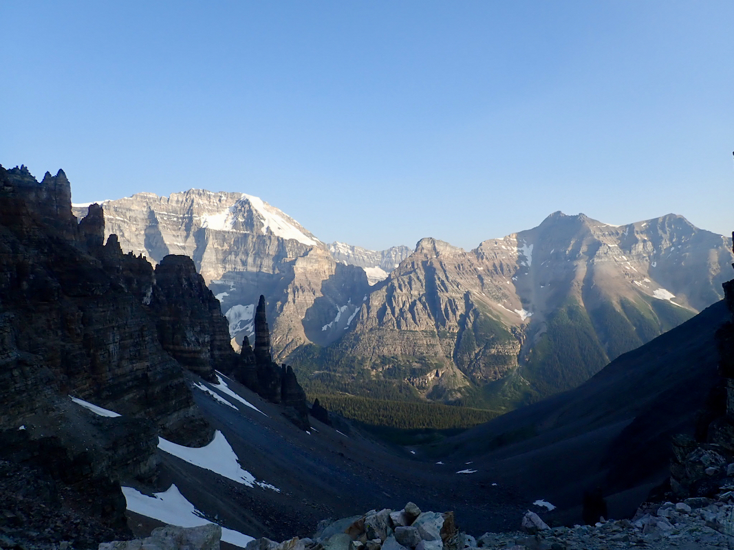
From the pass, follow the ridge across to the slopes of Mount Temple. There are several variations, the
trails are marked with cairns. Stay as far left nas possible,
following the trailn uphill. After some
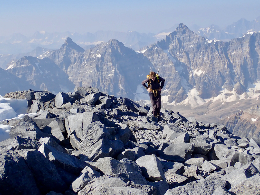
initial easy scrambling, the route will turn more right and ascend a steeper slope having very natural
steps/ledges. All in all, quite easy terrain despite a fairly steep slope. The trail traverses right as
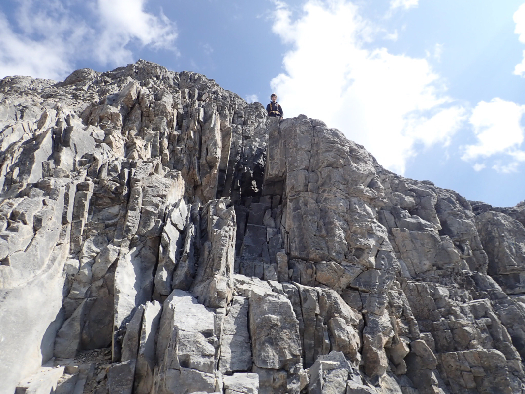
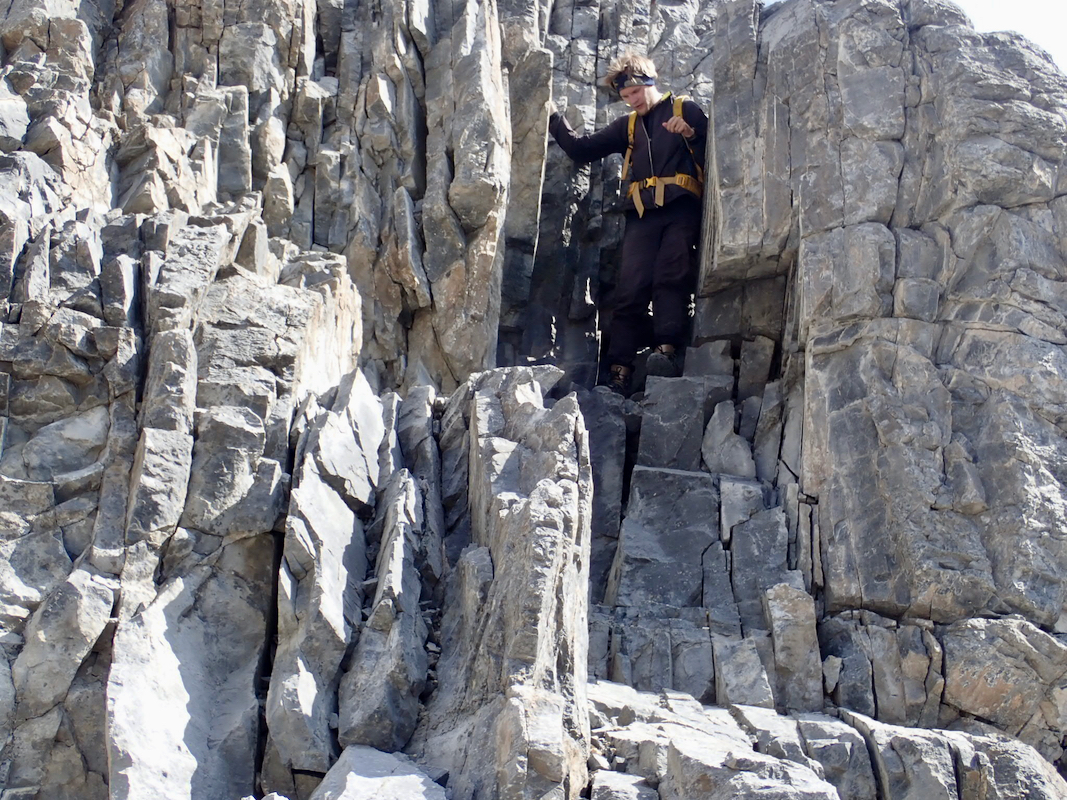
it more slowly gains elevation after this step. You will cross a gully and notice steeper terrain (ie. cliffs)
above you. Locate a very distinct crack
that seems to lead uphill. This is the key to an easy ascent.
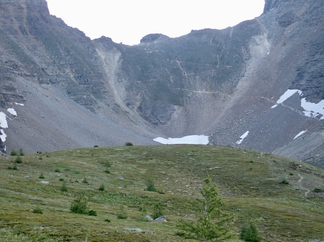
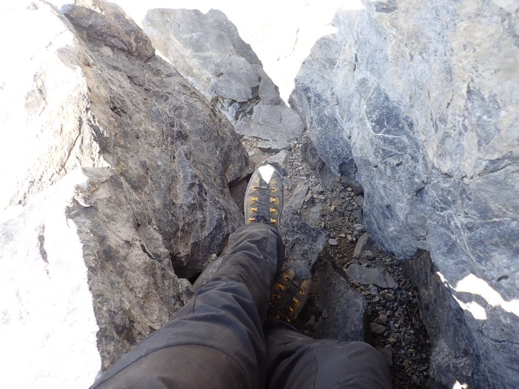
Climb up the crack (YDS class 3)
and exit on the upper slope. A bit
exposed since the crack ends very close
to the cliff band, but really, no difficuties, YDS class 3.
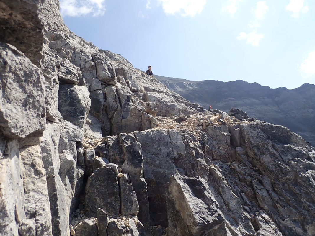
Above this cliffband the trail zig-zags up a large slope and eventually enters a somewhat more
distinct ridge that then can be followed all the way to the summit. Early in the season, the last part
of this ridge may be covered by snow, in which case crampons and an ice axe should be carried.
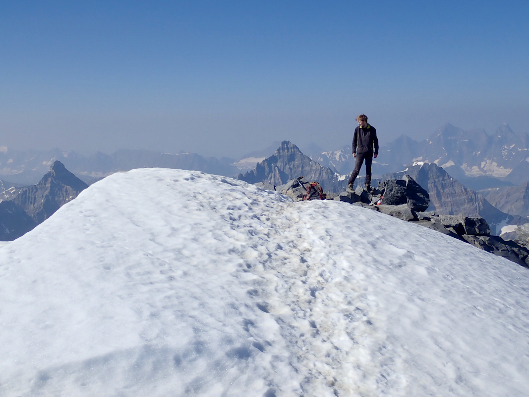
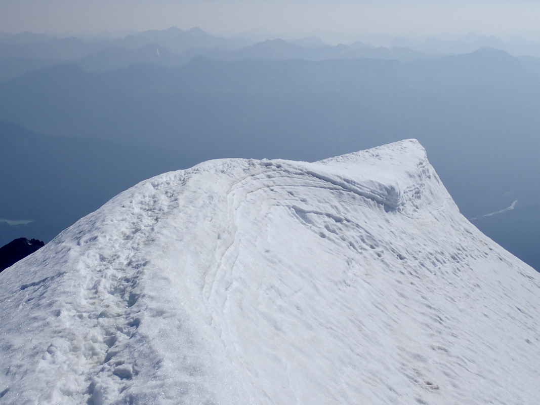
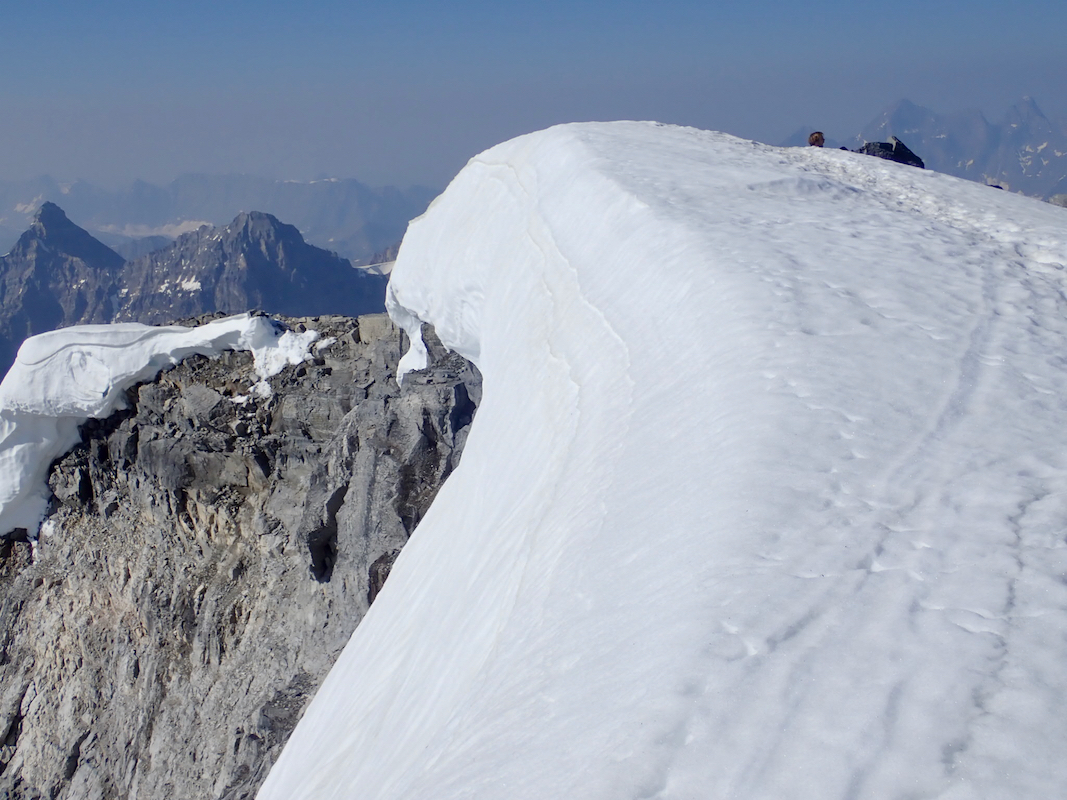
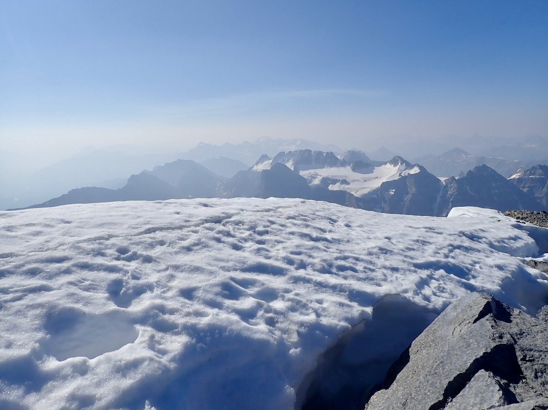
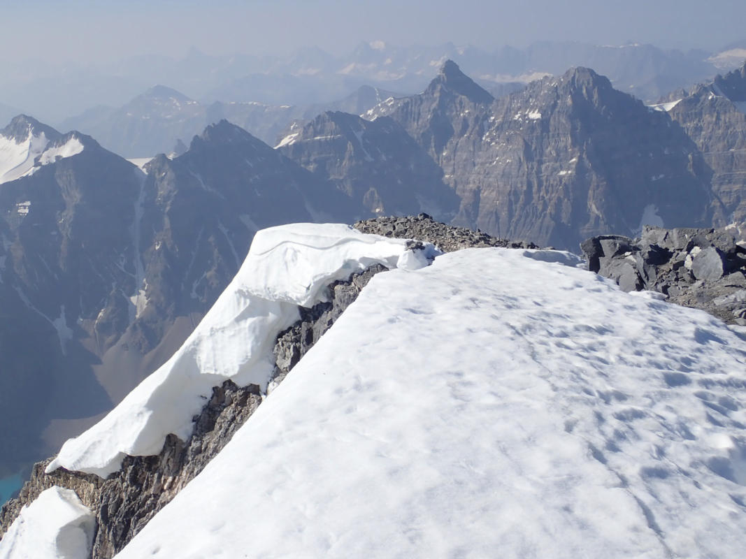
There is a pretty short (top) summit ridge. It continues on snow, while descending slightly. One should
be careful with possible cornices if exploring this ridge in more detail.
Comments:
Pål J&oslosh;rgen and I had just met in Calgary and then climbed
Hector yesterday. we stayed in Lake Louise and
Temple would be our goal before moving to a new base camp. We left early
and that was certainly needed, arriving at Moraine Lake after a very short drive
at 0530 and the parking lot was fast getting full. We had asked about the (possible)
snow on top of Temple, but despite people being there every day, the (not so helpful!)
ranger station in Lake Louise just said that they were not permitted to tell people
about the conditions on the mountains! Pretty stupid, the ultimate sign that rangers
are attending to car tourists only and that they are disconnected from the wilderness
they were supposed to know. Anyway, we took crampons and ice axe along, to be on the
safe side.
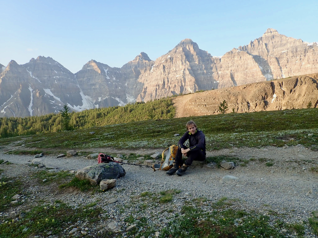
We left at 0545 and made good time along the big trail.
We got to the trailfork a bit below treeline
in 40 minutes and continued
in the very nice morning
to the well known saddle,
arriving there at 0730.
The weather was nice and there were already a few other parties around. Some
had hiked to the pass during night in order to have the sunrise there.
Heading uphill, it took us about one hour to reach
the cliff band with the crux
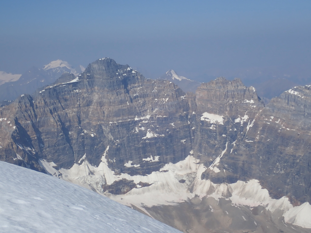
on this popular trail. We enjoyed the increasingly good views while completing the
pretty long final ridge
arriving at the summit 5 minutes
before 1000. There was no
snow, so crampons and axe carried needlessly thanks to the "helpful" rangers.
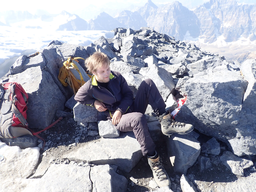
We stayed for 30 minutes.
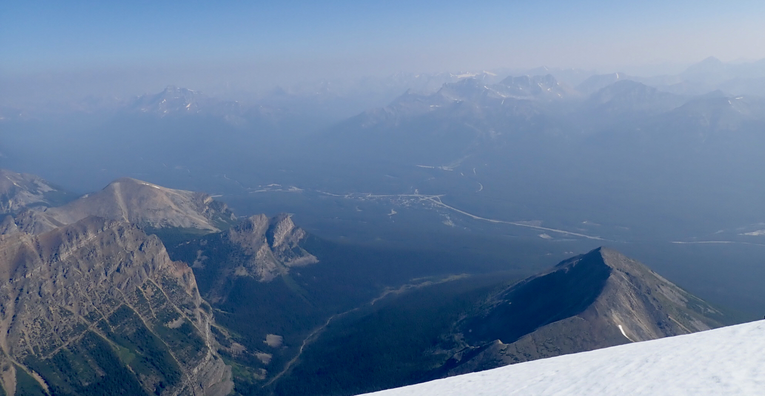
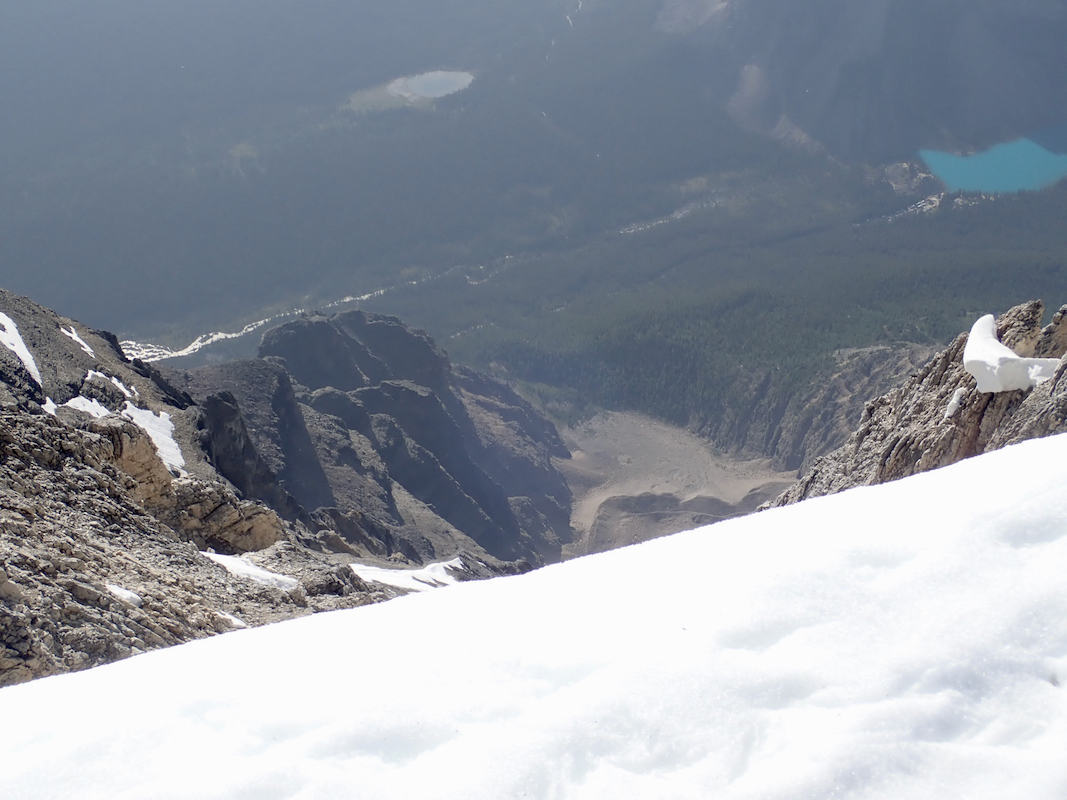
I explored the snow ridge
that extended further from the summit,
this provided a somewhat
better view back down
into the valley. We
had the summit to ourselves,
but another party arrived as we were about to descend. The return
hike was equally nice, we made numerous brief stops to talk to ascending climbers as
well as tourists lower down. Back at the barking lot at 1340, so an overall trip
time of about 8 hours.