Location: South 3.384905, East 120.024261 120.024299 (GPS)
Sulawesi island HP, Indonesia
Difficulty: YDS class 2
Climbed: June 27, 2023
Information:
How to get there:
This is the highest point on the big island of Sulewesi. The starting
point is the city of Makassar, served daily with many flights from
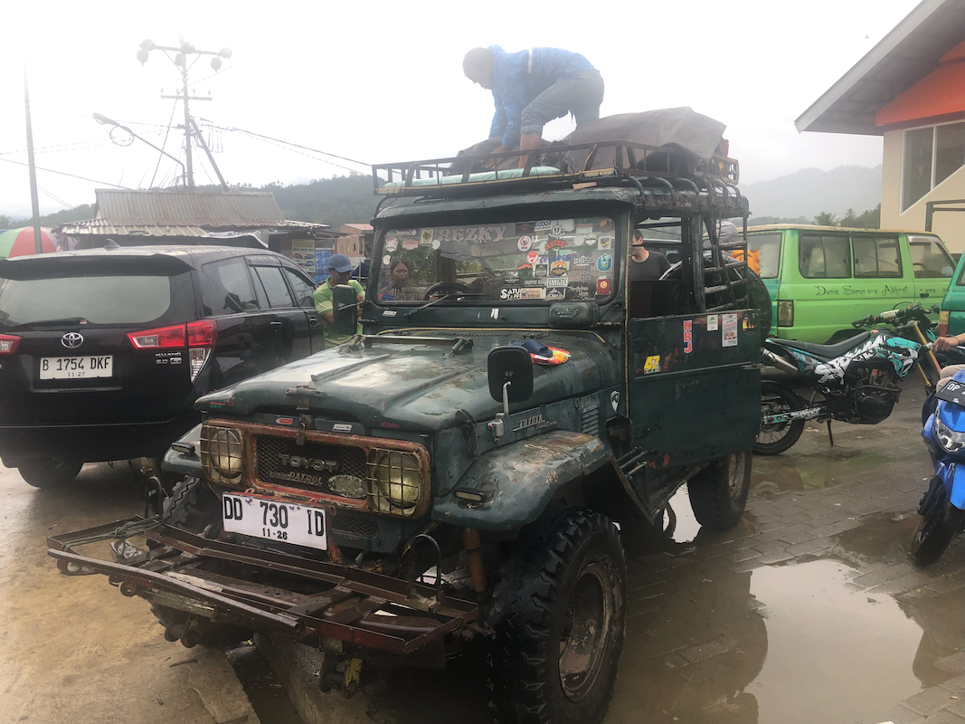
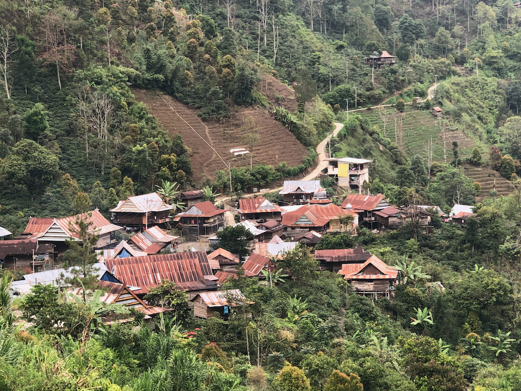
several locations (including Bali). The drive to the village Karangan
takes 7-8 hours. The last part of this drive is on a narrow and steep
road, however mostly paved. A 4WD (with low gear) is most likely
the best option.
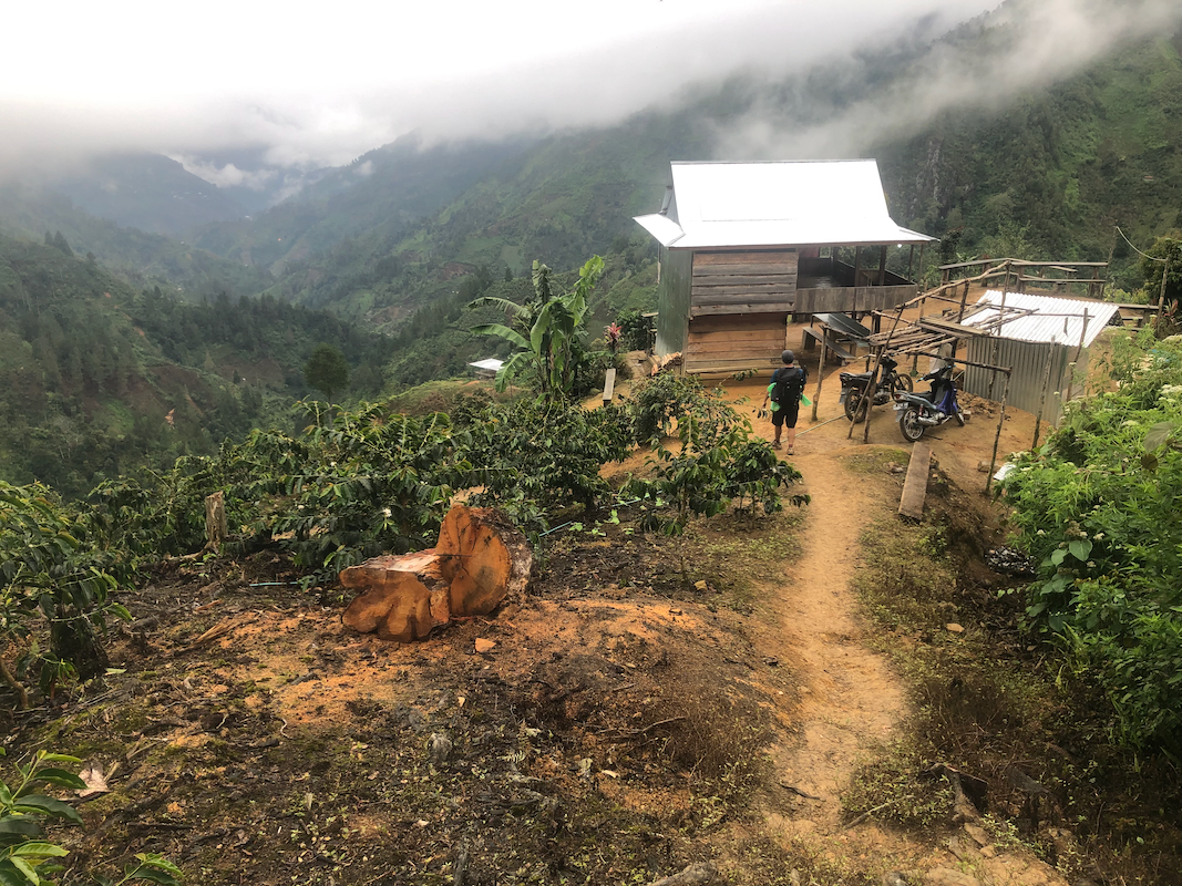
The village Karangan is located at S3.419683, W119.987978, at an elevation
close to 1450 meter.
Route description:
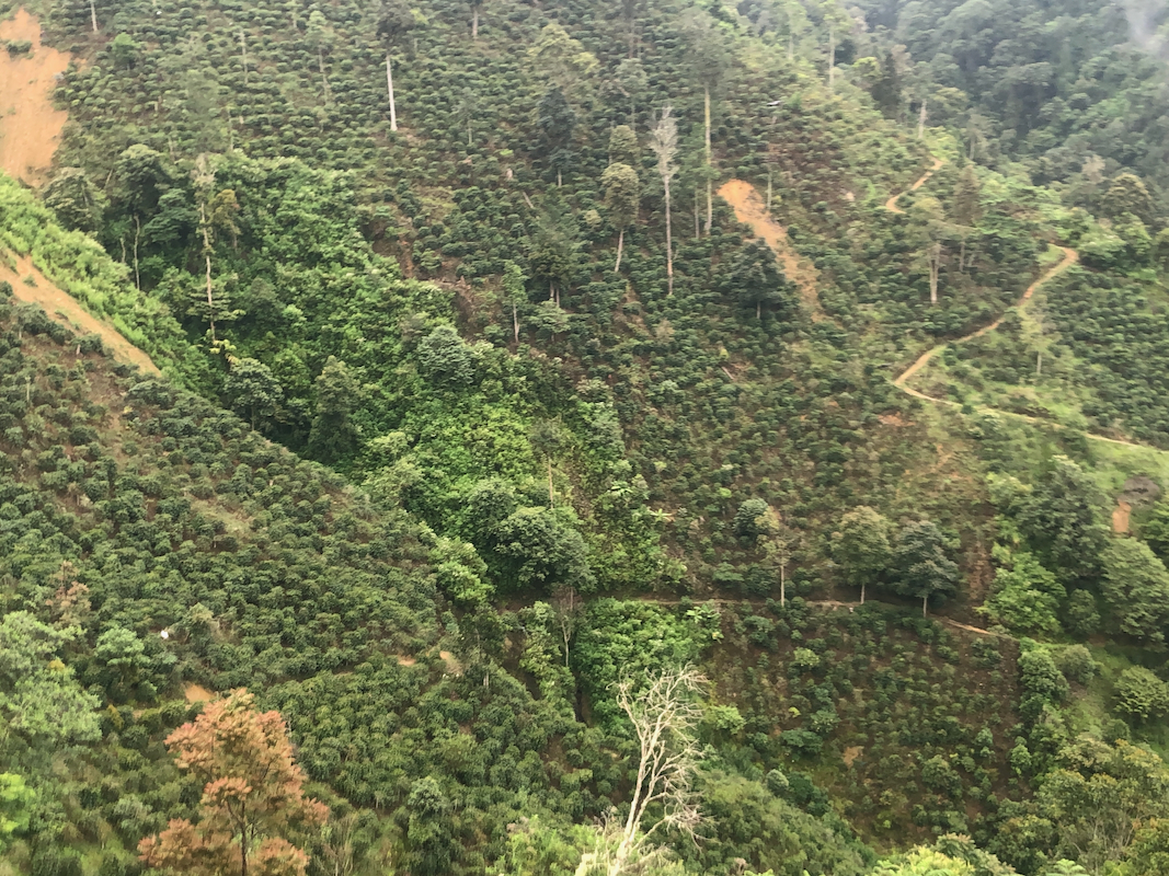
The route starts out nicely following concrete paths up the first hillside.
These paths are in support
of the coffee plantation, coffee bushes cover
the hills above the village.
After the cultivated area,
the trail enters the jungle and continues
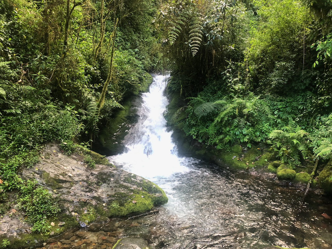
to a small river, easy crossing.
After the river, the trail runs steeply uphill. This section
is cumbersome when wet, slippery and care must be exercised. Above the steeper part,
the trail continues relentlessly to ascend, this carries on for quite a long time.
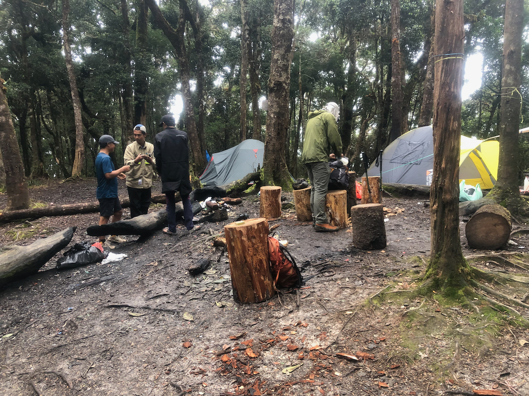
Smaller campsites are passed until arriving on Camp 5, a gently rounded local
hilltop with space for many tents.
The location is S3.401345, W120.019075, elevation
above 2600 meter. What remains is more of the same, then a somewhat steeper section,
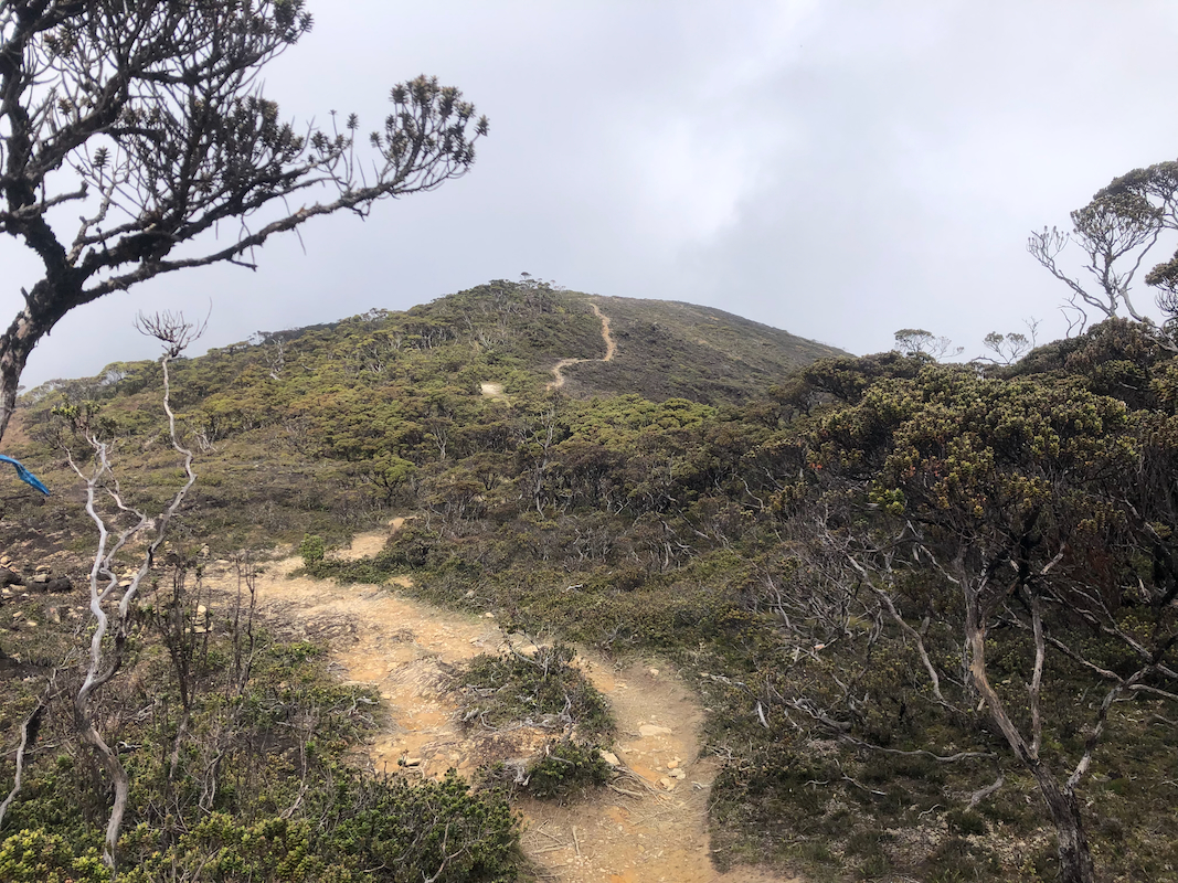
pretty short, before the route enters a wide, main crest
extending towards the summit.
This is pretty much above the jungle, shorter vegetation
and an easy to walk trail.
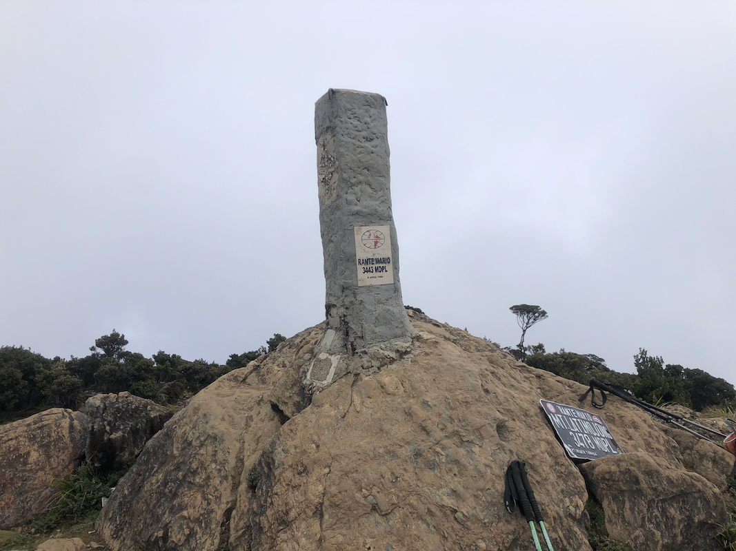
The summit is marked by a concrete pillar, there are signs with two
different elevations, 3443m and 3478m. The former is correct and the higher
value is clearly incorrect (verified with GPS).
Comments:
We did this ascent as a 3 day trip from Makassar. Day 1, travel to Karangan.
Day 2, climb Rantemario and camp back down at Camp 5 in order to split the
descent on two days. Day 3, descend to Karangan and drive back to Makassar,
As it turned out, we could have completed the climb in a single day, but then
with a second overnight in Karangan. The climb has a vertical gain slightly more than
2000 meter.
We started from the village at 0600.
We reached camp 5 at 0850, so 2:50 up. We had a snack and rested until 0930, then
left for the summit, arriving there at 1115, so 1:45 up. Aris served a full scale
lunch at the summit, rice and chicken - very nice. Many photos and general relaxing
near the summit marker. Leaving at 1200, we were back down at camp 5 by 1400.
A nice evening with a fire and many people to talk with. We left at 0610 the next morning,
reaching the village by 0910,
so 3 hours back down. Total walking time, 4:35 up and 5:00 back down.
We next had a nice drive back to Makassar in order to prepare for an early departure
to climb Lompobatang the following day.
